フレッケビーのおすすめウォーキング&ハイキングルート
4.7
(163)
659
ハイカー
28
ハイキング
フレッケビー周辺でのハイキングは、景色を満喫するのに最適な手段のひとつですが、適切なハイキングルートを見つけることは簡単ではありません。 フレッケビー周辺の人気ハイキング&ウォーキングコースを参考にすれば、行きたいルートをすぐに見つけられます。
最終更新日: 9月 13, 2026
4.7
(6)
35
ハイカー
18.4km
04:44
80m
80m
中程度のハイキング. ある程度のフィットネスレベルが必要です。 進みやすいルートです。あらゆるスキルレベルに適しています。
4.6
(37)
118
ハイカー
16.6km
04:15
60m
60m
中程度のハイキング. ある程度のフィットネスレベルが必要です。 進みやすいルートです。あらゆるスキルレベルに適しています。

4.6
(10)
56
ハイカー
7.99km
02:03
30m
30m
中程度のハイキング. ある程度のフィットネスレベルが必要です。 進みやすいルートです。あらゆるスキルレベルに適しています。
4.5
(15)
52
ハイカー
14.2km
03:44
120m
120m
中程度のハイキング. ある程度のフィットネスレベルが必要です。 進みやすいルートです。あらゆるスキルレベルに適しています。
4.4
(12)
50
ハイカー
3.22km
00:50
20m
20m
初級者向けハイキング. あらゆるフィットネスレベルに適しています。 進みやすいルートです。あらゆるスキルレベルに適しています。
さらに多くのルートや他のユーザーのおすすめ情報を確認できます。
すでにアカウントをお持ちですか?
おすすめのツアーは他のkomootユーザーが実際に経験した何千ものアクティビティに基づいています。
無料アカウントで今日から始めよう
次の冒険が待っています。
フレッケビー周辺で人気
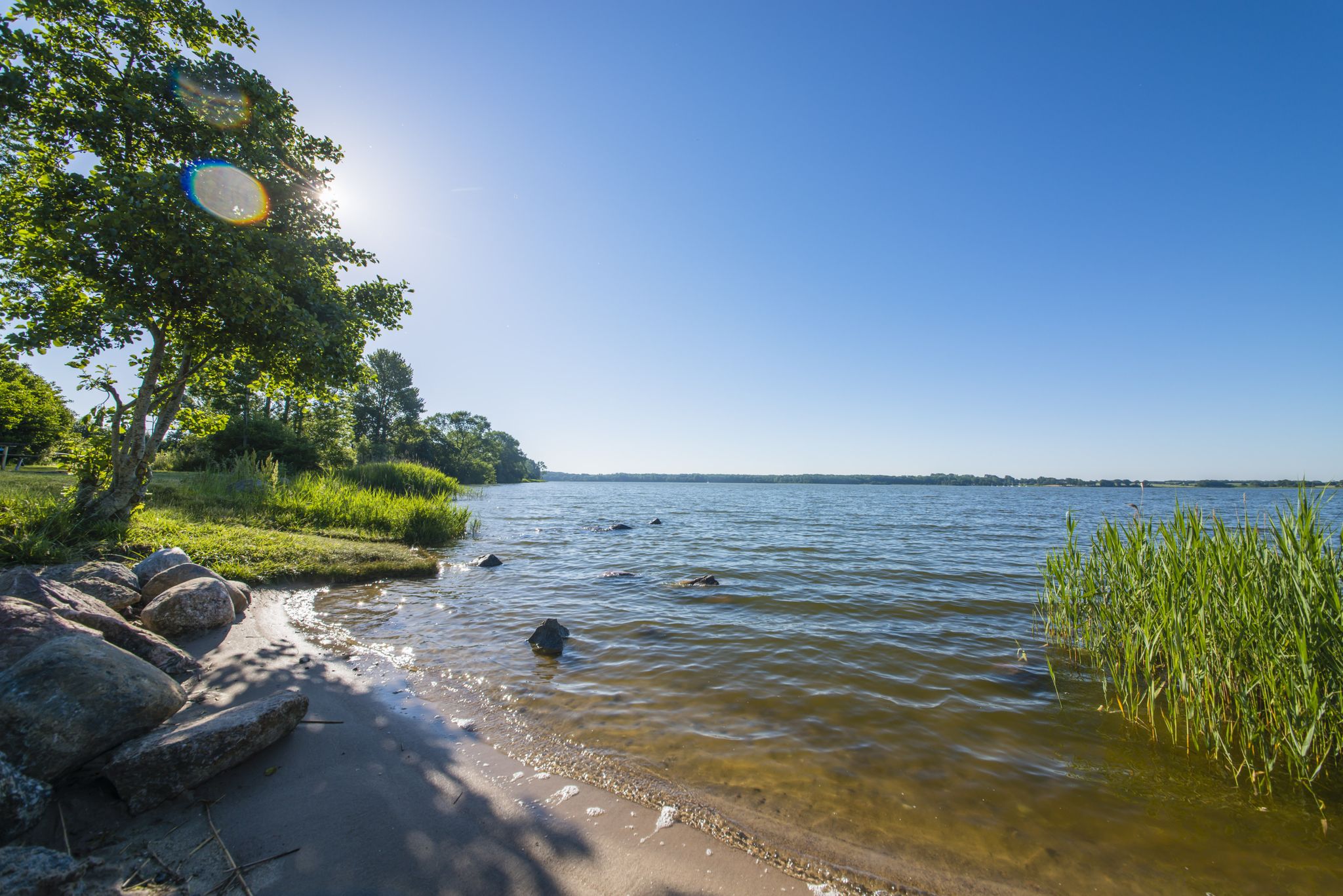
The journey is the destination – hikes along the River Schlei in Germany
ランウァイルド - ドイツ全国のトレールランニングルート
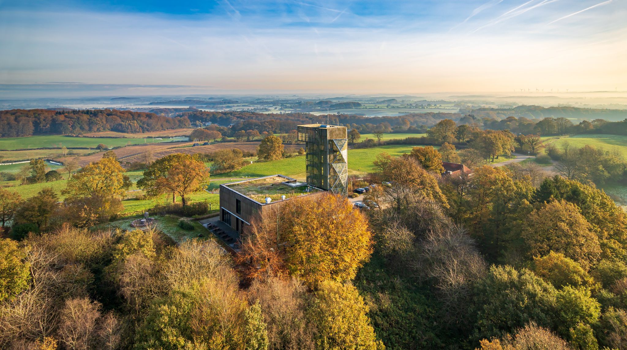
Between Geest and Hügelland — cycling in Germany’s Hütten Hills
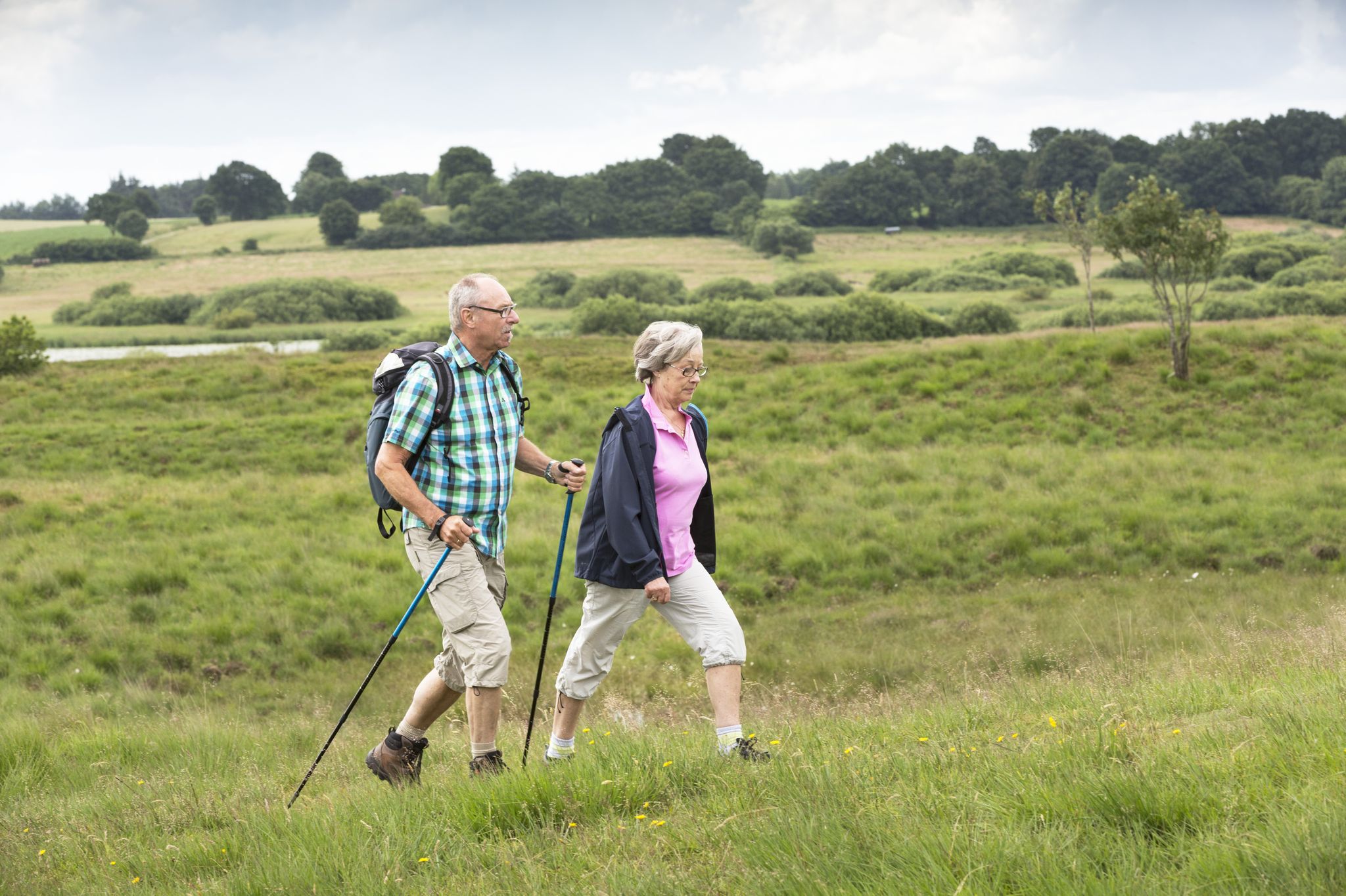
Pilger- und Fernwanderwege im Binnenland Schleswig-Holsteins
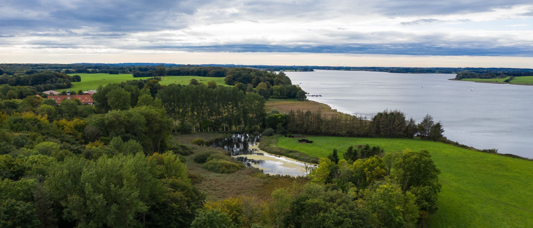
Wandern an der Schlei
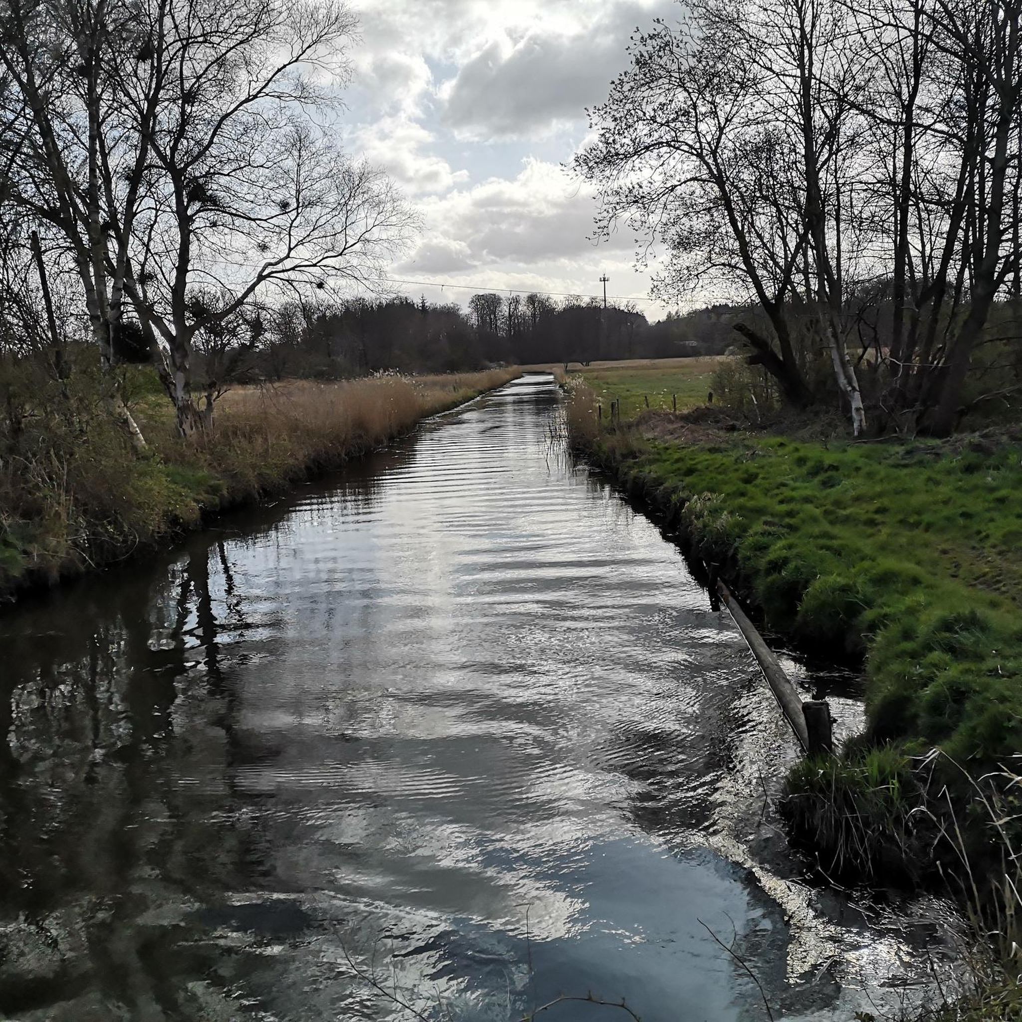
フレッケビーでのサイクリング
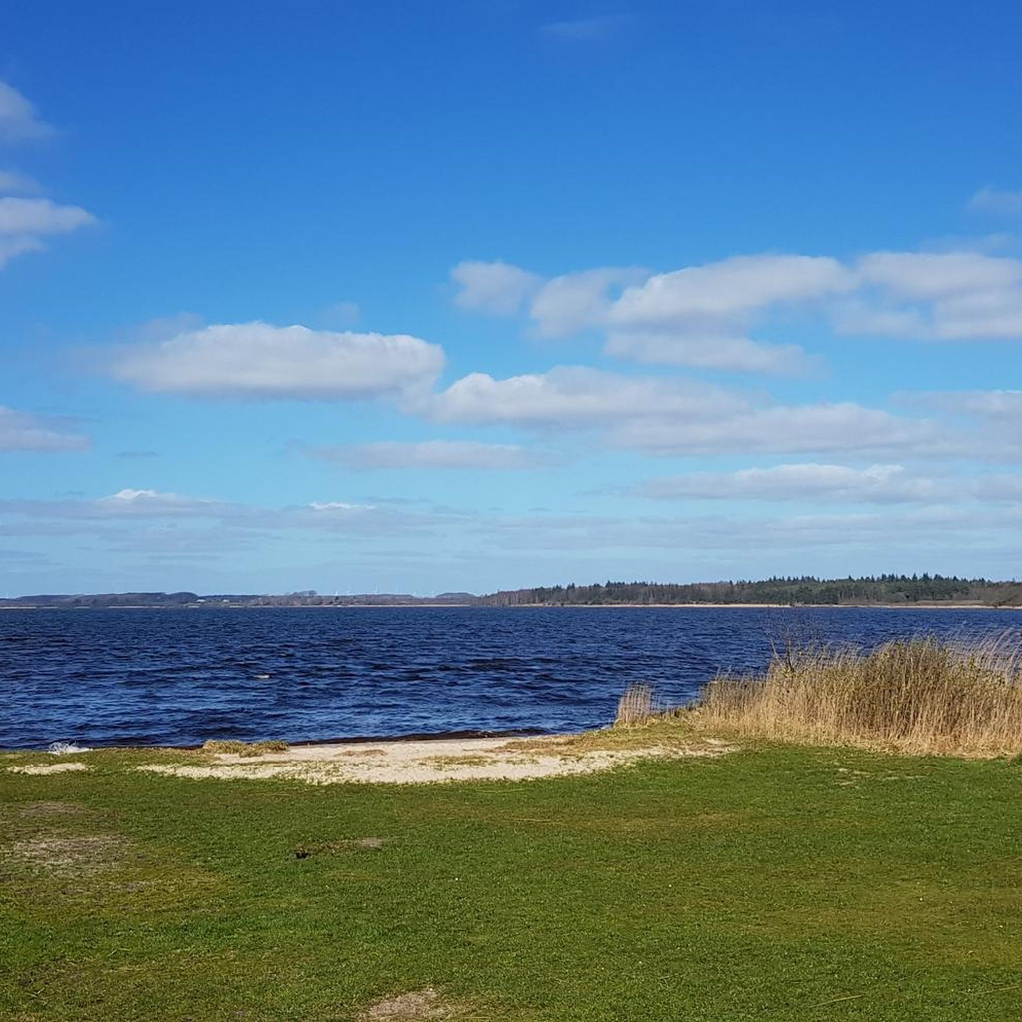
フレッケビーのロードバイクルート
フレッケビーのランニングコース
フレッケビーのMTBトレイル
フレッケビーでののグラベルライド
フレッケビーでのの他の冒険


コミュニティからのヒント

ハインツ・ベーレンセン(1927-2017)、ゲテビー、後にフレンビー/ゲテビー/シュライ連合自治体の元市長は、ヒュッテナー・フォルラントの土地改良を始めました。
0
0

Walking along the unassuming Osterwall, you have a beautiful view of the lower-lying Windebyer Noor.
1
0

It is always worth hiking in the area of the Schlei, like here at the narrowest point of the Schlei, and enjoying the peace and quiet while hiking and listening to the birds.
0
0

The Schlei Nature Park is the northernmost of its kind in Germany. The Schlei region is a true natural paradise and home to numerous animal and plant species. With a unique mix of freshwater, brackish, and saltwater habitats, embedded in a diverse cultural landscape, it offers extraordinary diversity. The cultural landscape of the Schlei has been significantly shaped by the people who live and farm here. Today, the Schlei separates two very different landscapes: Angeln and Schwansen. The hilly landscape of Angeln is particularly characterized by small-scale agriculture and a dense hedgerow structure. The nature park was established in 2008 and covers an area of 500 square kilometers. You can find more information here: https://nationale-naturlandschaften.de/gebiete/naturpark-schlei-2.
1
0

The deepest point of the Windebyer Noor[2], at 13.6 metres, is in the north of the lake near the Eckernförde district of Carlshöhe; in the middle, the lake is eleven metres deep. The water of the Windebyer Noor is slightly saline (in different places between over one and a good two PSU[3]). Bulges of the Windebyer Noor are called Schnaaper Bucht (Snap Bugt), Norderhake (Nørrehage), Süderhake (Sønderhage), Südbucht (Sydbugt)[4] and Kochendorfer Bucht.[5] The Norderhake was the connecting arm of the Windebyer Noor to the Eckernförde city harbour.
0
0
The Windebyer Noor (obsolete: Eckernförder Noor, Schna(a)per Noor and Goos-Noor; Danish: Vindeby Nor, Low German: Winnebyer Noor, Winneby-Noor) is a 389 hectare inland lake in Schleswig-Holstein. It is located on the western edge of the town of Eckernförde, to whose municipal area it belongs. To the south and west, the eponymous municipality of Windeby borders the shore of the lake. Former residents of the lake were the municipality of Borby until its incorporation in 1934 (Borby exclave Schnaap) and the municipality of Gammelby until 1973 (Grasholz).
0
0

Even though it is a boring, straight route in terms of hiking, the background knowledge creates an exciting connection to our ancestors.
0
1

Here you have a clear view over the fields to the military installation on the 101 m high hill.
2
0
フレッケビーでのの人気観光スポット

komootモバイルアプリでインスピレーションを得よう


さらに探索
他の地域の最高のハイキングを見てみましょう。
