ホーンのおすすめウォーキング&ハイキングルート
4.6
(1752)
6,288
ハイカー
32
ハイキング
ホーン周辺でのハイキングは、景色を満喫するのに最適な手段のひとつですが、適切なハイキングルートを見つけることは簡単ではありません。 ホーン周辺の人気ハイキング&ウォーキングコースを参考にすれば、行きたいルートをすぐに見つけられます。
最終更新日: 10月 30, 2026
4.8
(5)
34
ハイカー
6.56km
01:39
10m
10m
初級者向けハイキング. 歩きやすい道です。
4.0
(4)
16
ハイカー
17.2km
04:21
40m
40m
中程度のハイキング. ある程度のフィットネスレベルが必要です。 歩きやすい道です。

5
ハイカー
15.1km
03:48
20m
20m
中程度のハイキング. ある程度のフィットネスレベルが必要です。 歩きやすい道です。
5.0
(1)
7
ハイカー
6.37km
01:37
10m
10m
初級者向けハイキング. 歩きやすい道です。
さらに多くのルートや他のユーザーのおすすめ情報を確認できます。
すでにアカウントをお持ちですか?
おすすめのツアーは他のkomootユーザーが実際に経験した何千ものアクティビティに基づいています。
無料アカウントで今日から始めよう
次の冒険が待っています。

コミュニティからのヒント


Signposts and the observation hut are located directly near the bench.
0
0

Delicious cakes
0
0

The café has a large, partially shaded courtyard. Coffee is served from a thermos flask. There is a studio next to the café.
2
0
The view here extends far over the Niederwiesen.
2
0
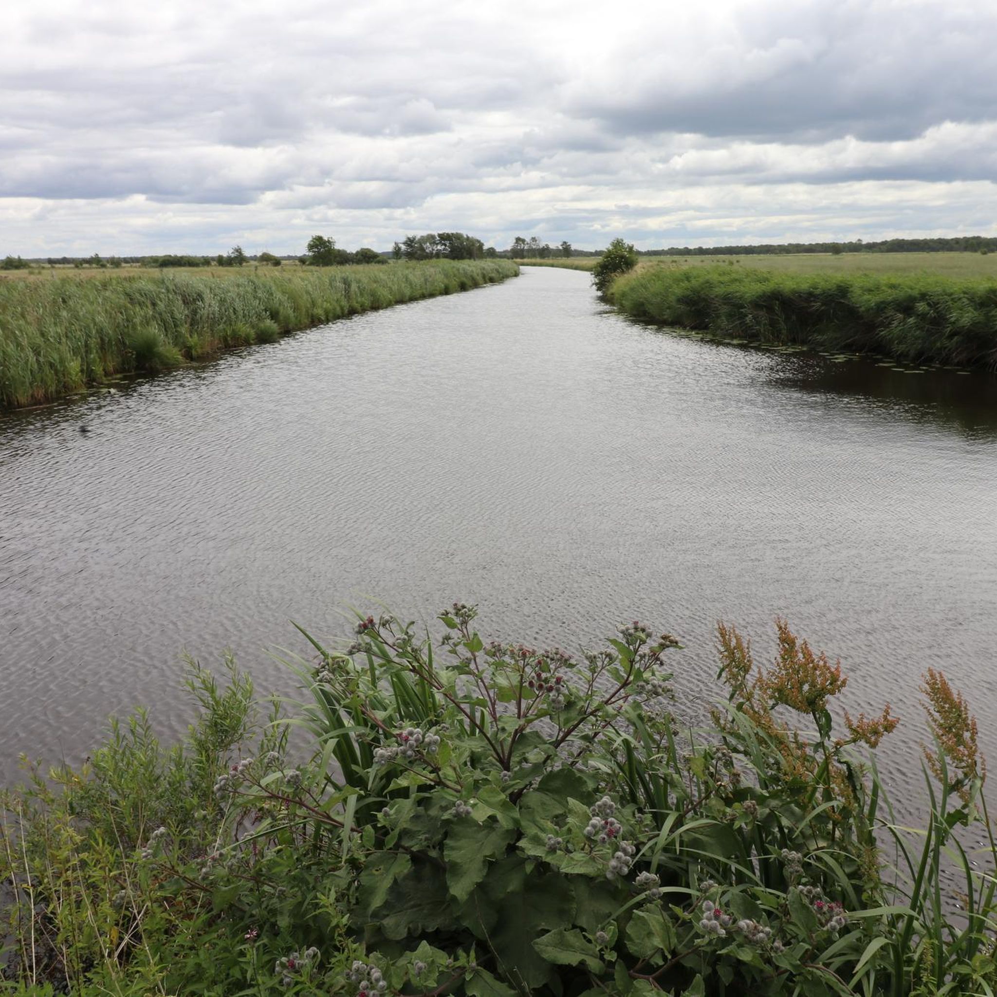
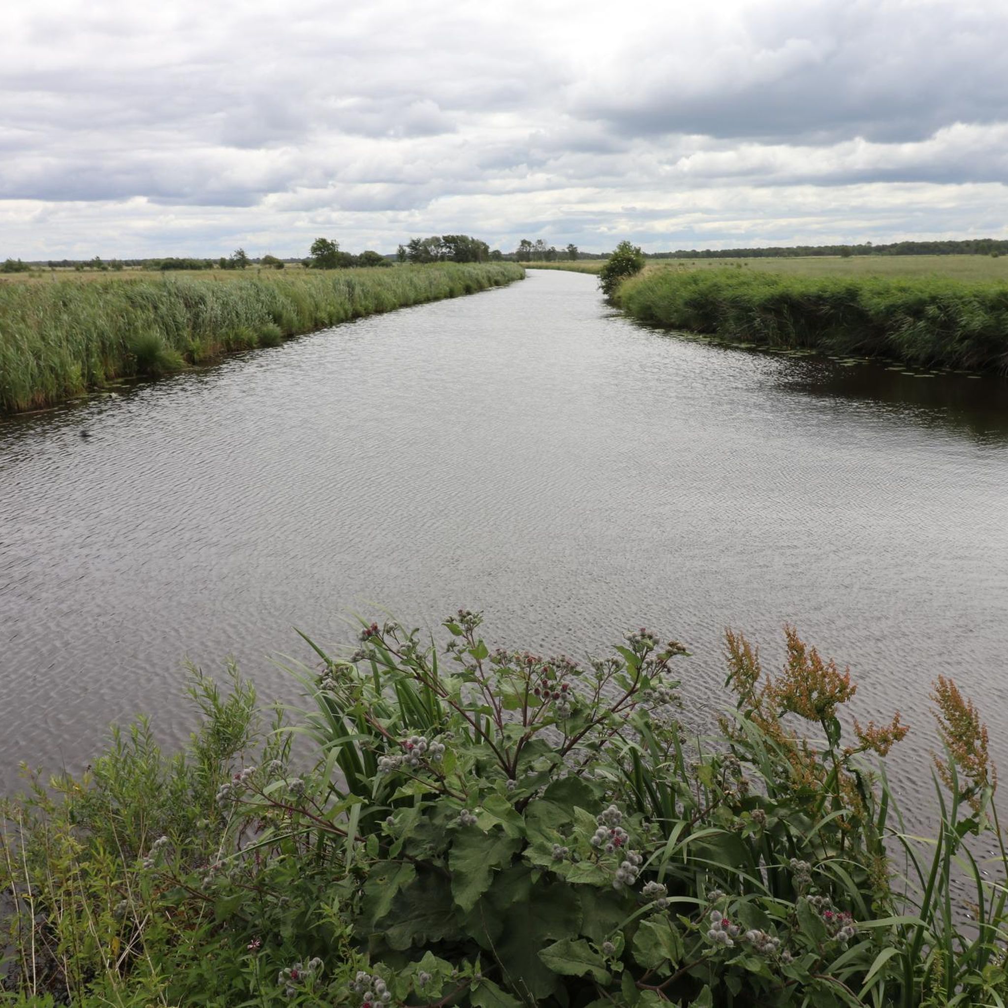
Next to the B 202 federal highway, the cycle and footpath runs on its own bridge over the river, which flows to the North Sea via the Treene-Eider system.
2
0
The historic train station building near the Transall marks the beginning of the hiking trail on the former railway line.
2
0
Pumping stations and drainage systems keep the water level below sea level in order to keep the lowland areas usable for agriculture.
2
0
ホーンでのの人気観光スポット

komootモバイルアプリでインスピレーションを得よう


さらに探索
他の地域の最高のハイキングを見てみましょう。
