ブレックハウゼンのおすすめMTBライド
4.5
(2143)
7,656
ライダー
409
ライド
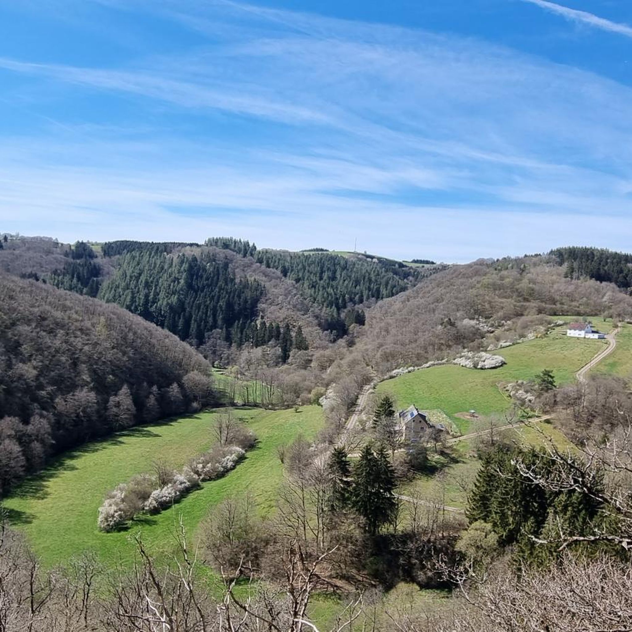
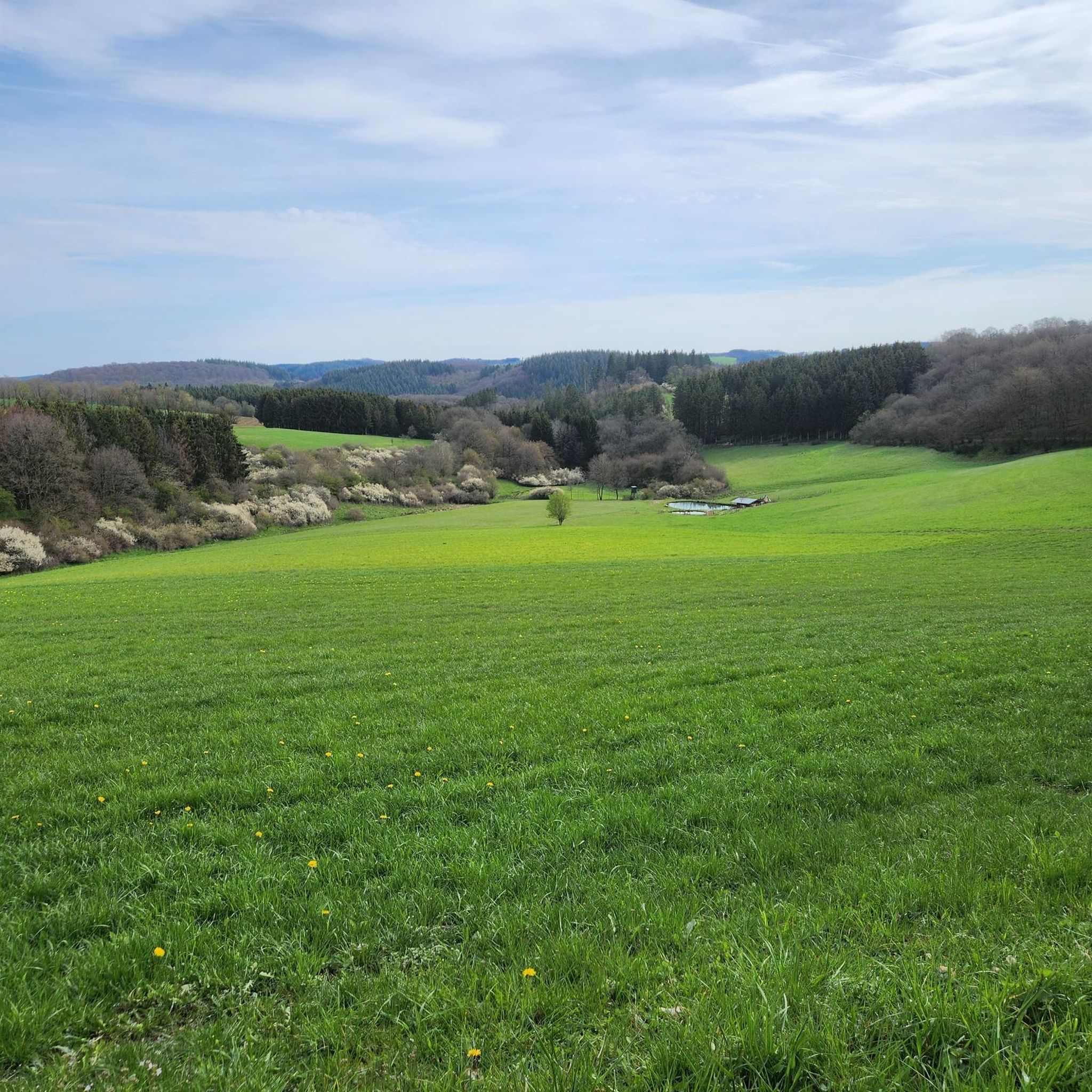
ブロックハウゼン周辺のマウンテンバイクコースは、数多くのマール(maar)や火山円錐を含むユニークな火山景観を特徴とする火山アイフェル(Volcanic Eifel)地域にあります。この地域は、森を抜け、クライネ・キュル(Kleine Kyll)やリーザー(Lieser)のような川沿いを、そして様々な標高を縫うように走る多様なネットワークを備えています。このエリアは、マウンテンバイクに適した、挑戦的な登りと景色の良いルートが組み合わされています。この地域の地質学的歴史は、様々なレクリエーション活動に理想的な多様な環境を形作ってきました。
ブロックハウゼン周辺の最高のマウンテンバイクコース
- 最も人気のあるマウンテンバイクコースは、アイフェル・アラーライ - オールインクルーシブツアーです。このコースは20.0マイル(32.2 km)で、所要時間は2時間50分です。このルートは、地元の火山景観を包括的に体験できます。
- 地元のマウンテンバイク愛好家に人気のもう一つのコースは、ニーダーブルク城の眺め – マンダーシャイトからのヴィンズボルン火口頂上ループです。これは難易度の高い15.6マイル(25.2 km)のルートです。このトレイルはニーダーブルク城の眺めを提供し、ヴィンズボルン火口を通過します。
- 地元のマウンテンバイク愛好家は、ヒンメロート修道院 – マンダーシャイトからのヴィンズボルン火口頂上ループも気に入っています。この37.4マイル(60.2 km)のコースは、フォークルアイフェル(Vulkaneifel)の景観を通り抜け、通常約5時間40分で完了します。
- ブロックハウゼン周辺のマウンテンバイクは、火山性のマール、ジュニパーの土地、そして川の谷によって特徴づけられます。このネットワークは、適度な難易度のパスからより挑戦的なルートまで、様々なスキルレベルに対応するオプションを提供します。
- ブロックハウゼンのルートは、komootコミュニティから高く評価されており、1,500件以上のレビューで平均4.5つ星を獲得しています。6,100人以上のマウンテンバイク愛好家がkomootを使用して、ブロックハウゼンの多様な地形を探索しました。
最終更新日: 10月 16, 2026
4.5
(37)
138
ライダー
32.2km
02:50
720m
710m
難しいマウンテンバイクライド. ある程度のフィットネスレベルが必要です。 高度なライディングスキルが必要です。ツアーの一部で自転車を押して歩く必要があるかもしれません。
4.5
(19)
67
ライダー
24.8km
02:13
560m
560m
難しいマウンテンバイクライド. ある程度のフィットネスレベルが必要です。 高度なライディングスキルが必要です。ツアーの一部で自転車を押して歩く必要があるかもしれません。

4.8
(5)
40
ライダー
58.6km
05:31
1,210m
1,210m
難しいマウンテンバイクライド. 標準以上のフィットネスレベルが必要です。 高度なライディングスキルが必要です。ツアーの一部で自転車を押して歩く必要があるかもしれません。
4.8
(5)
39
ライダー
54.6km
04:59
1,190m
1,180m
難しいマウンテンバイクライド. 標準以上のフィットネスレベルが必要です。 高度なライディングスキルが必要です。ツアーの一部で自転車を押して歩く必要があるかもしれません。
4.6
(37)
103
ライダー
44.1km
03:48
790m
790m
中程度のマウンテンバイクライド. ある程度のフィットネスレベルが必要です。 高度なライディングスキルが必要です。
さらに多くのルートや他のユーザーのおすすめ情報を確認できます。
すでにアカウントをお持ちですか?
おすすめのツアーは他のkomootユーザーが実際に経験した何千ものアクティビティに基づいています。


コミュニティからのヒント


A lovely hike, mindfulness trail, small Kyle, bridge, and then on to Heidsmühle for a wheat beer. Wonderful in summer, also a great way to cool off!
1
0

Weinfelder Maar - Impressive Evidence of Explosive Geological History The Weinfelder Maar – also known as Totenmaar – is one of the three so-called Daun Maars. It is located about 2 kilometers from our district town of Daun, near the municipality of Schalkenmehren, between the Gemünden and Schalkenmehren Maars. It has a diameter of approximately 525 meters and a depth of 51 meters, making it the deepest of the three Daun Maars. It is the youngest and, at 487 meters above sea level, the highest of the three closely adjacent maars, which formed between 20,000 and 30,000 years ago. Text / Source: Natur- und Geopark Vulkaneifel GmbH, Mainzer Str. 25, Daun https://www.geopark-vulkaneifel.de/eifel/landschaft/maare-und-kraterseen/weinfelder-maar.html
12
0
Weinfelder Maar The Weinfelder Maar, formed by volcanic activity around 20,000 to 30,000 years ago, is the highest of the three Daun Maars at 487 meters above sea level. The lake is 51 meters deep and has a diameter of 396 to 429 meters. An almost melancholic atmosphere surrounds the maar. Many legends surround the tranquil Eifel eye. A castle is said to have once stood on the site of the crater, where a count lived with his wife and only child. After returning home from a hunt, the castle had sunk as punishment for the woman's nastiness, and he found only a lake where a cradle miraculously floated his child safely to the shore. If you look at the dark surface of the water long enough, it is said that you can make out the outline of the castle. The German landscape painter Fritz von Wille was so fascinated by the Weinfelder Maar that he repeatedly immortalized it in his paintings. Among his favorite motifs was the small chapel on the north bank, dedicated to Saint Martin. It was once the parish church of the village of Weinfeld, which was ravaged by the plague in the 16th century. Anyone who rings the bells inside by pulling the ropes can make a wish. To this day, the associated cemetery is maintained and used by the local community of Schalkenmehren. This is also where its second name, Totenmaar, comes from. Donkeys and goats have been introduced to the Weinfelder Maar to regulate vegetation. The maar's unique flora and fauna are protected. Swimming and other water sports are prohibited in the Weinfelder Maar, but a nearly two-kilometer-long path makes it a wonderful place to explore on foot. Parking: Guests can park along the L64 either in the parking lot at the Weinfelder Maar or on the Maarsattel between the Weinfelder Maar and the Schalkenmehrener Maar. Text / Source: GesundLand Vulkaneifel GmbH, Leopoldstr. 9 A, 54550 Daun https://www.eifel.info/a-weinfelder-maar
12
0

A real photo opportunity: The viaduct in Daun impresses with its imposing architecture and blends perfectly into the nature of the Volcanic Eifel. The view from below is particularly beautiful - ideal for a short break or a snapshot. If you take your time, you can enjoy the atmosphere. Perfect as a stopover for hikers and cyclists!
5
0

komootモバイルアプリでインスピレーションを得よう


さらに探索
他の地域の最高のMTBトレイルを見てみましょう。
