ブレックハウゼンのおすすめツーリングルート
4.4
(4068)
17,882
ライダー
409
ライド
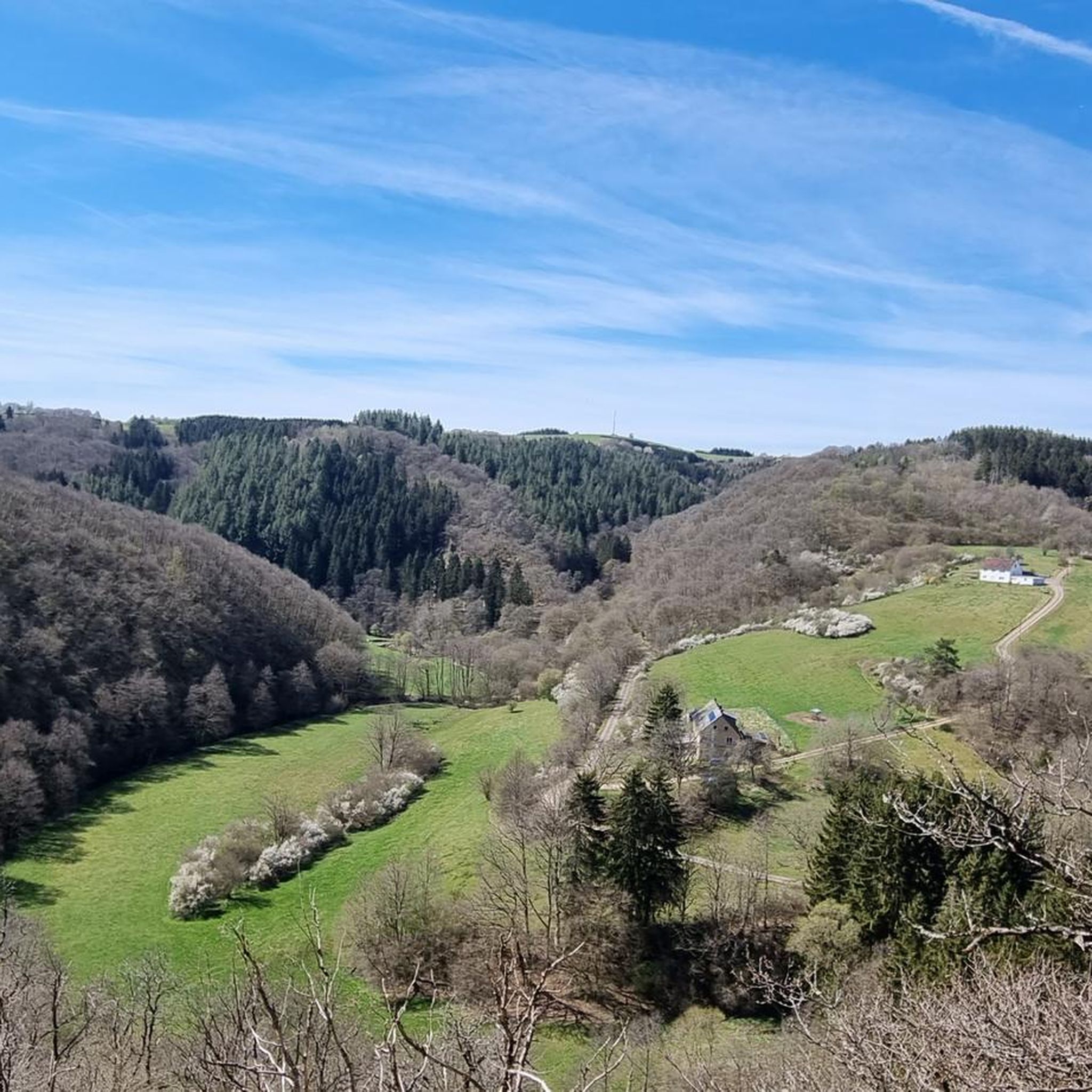
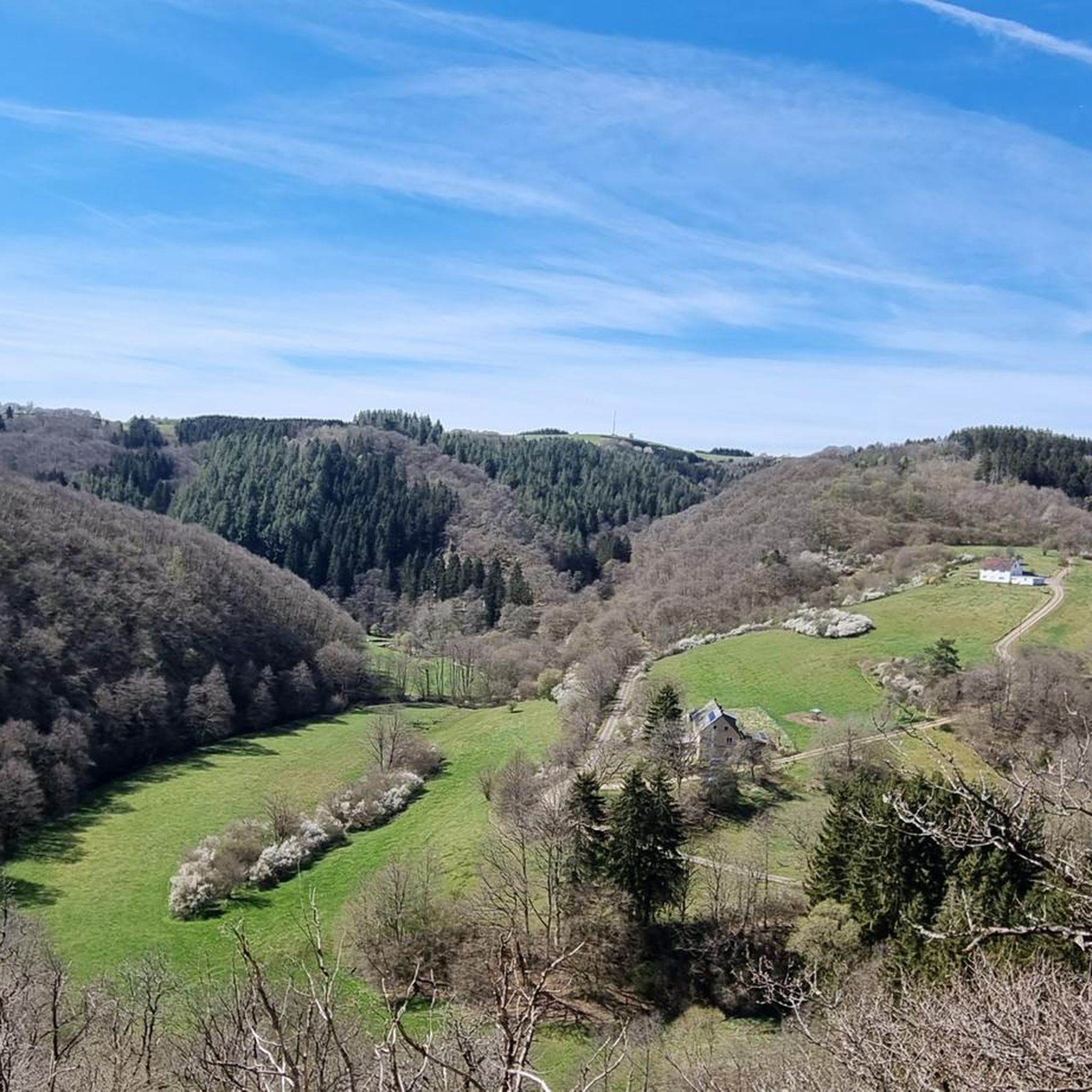
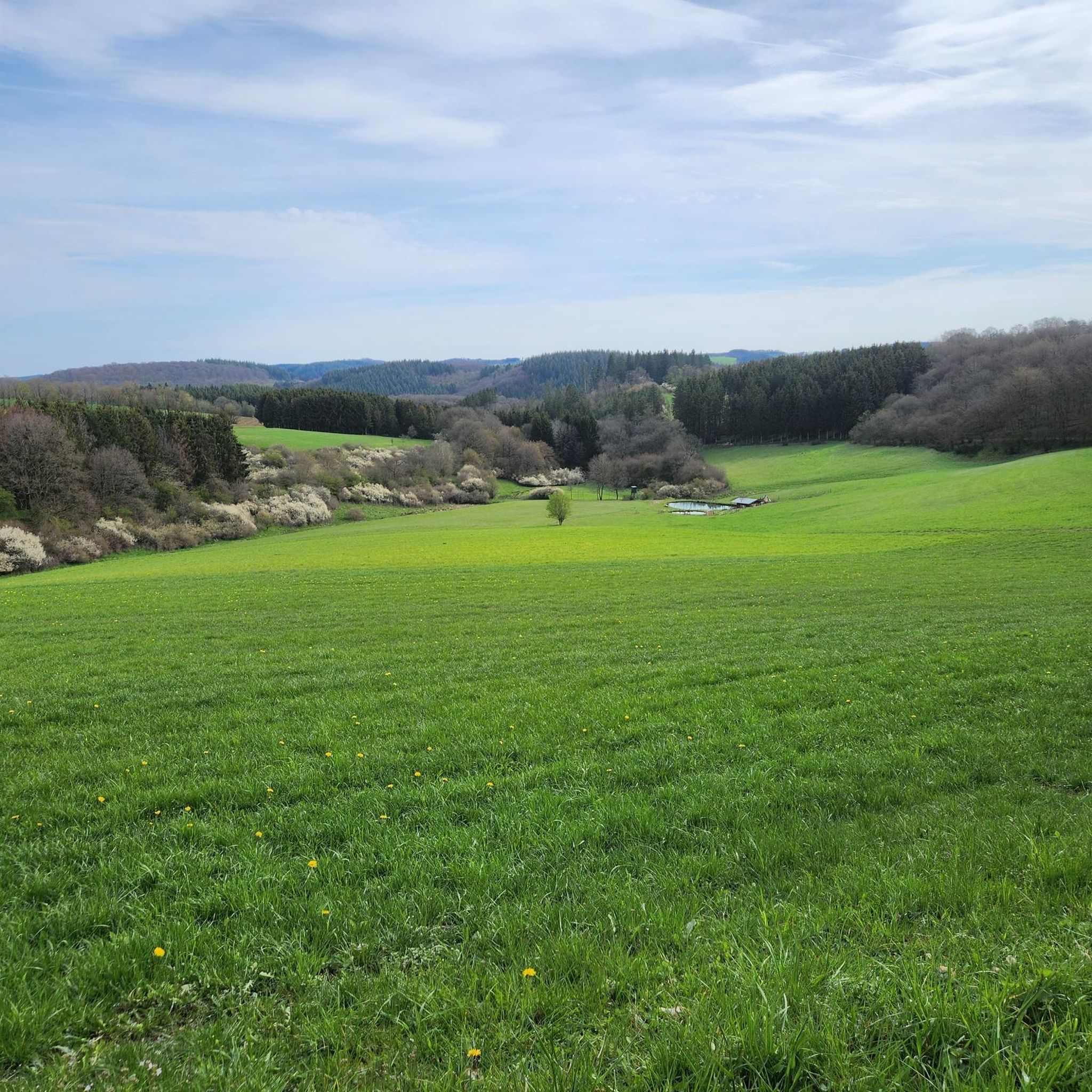
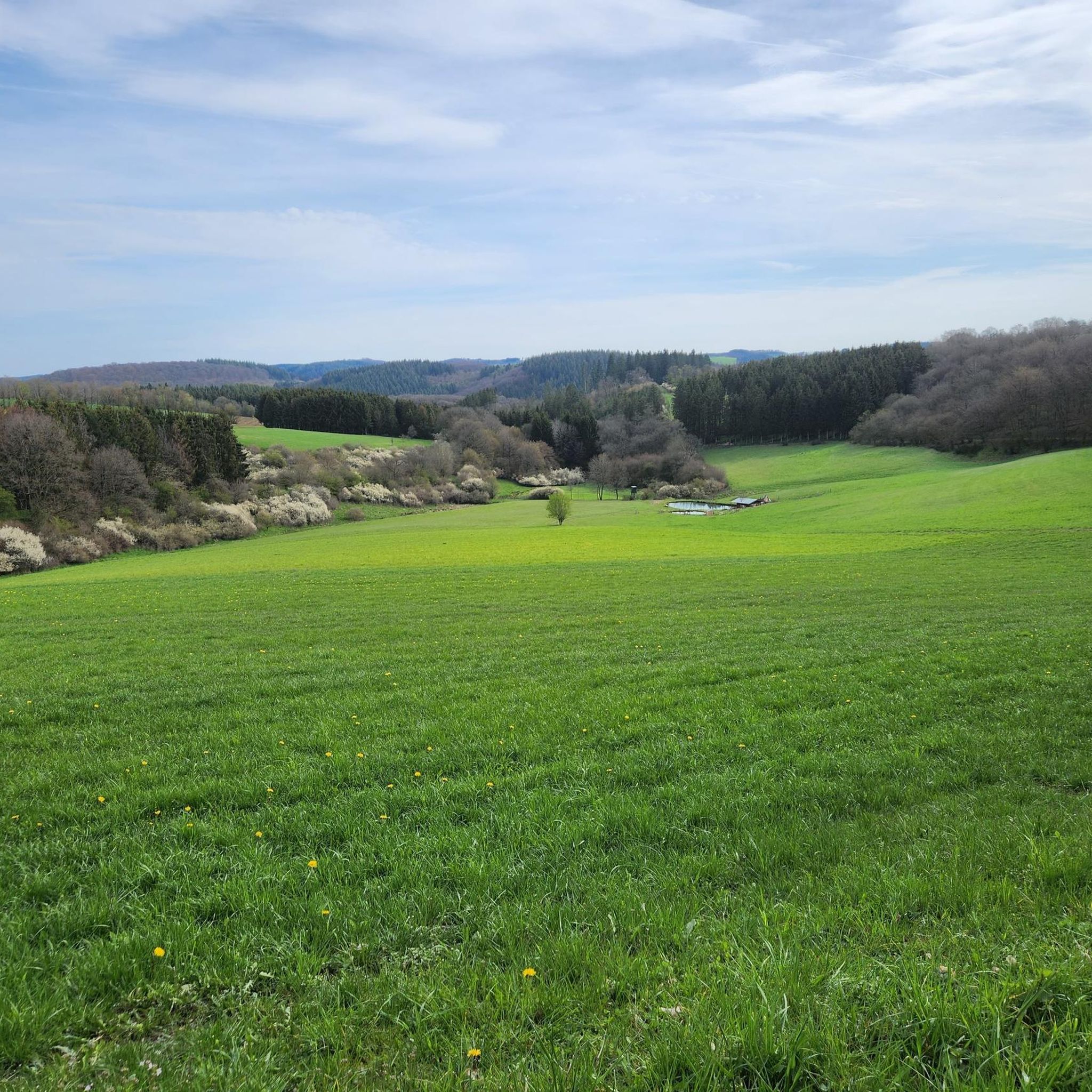
ドイツのフォーカニック・アイフェル地方に位置するブレッケンハウゼン周辺のサイクリングルートは、そのユニークな地質学的歴史を特徴としています。この地域は、火山性のマール、鬱蒼とした森、そして絵のように美しい起伏のある地形など、多様な自然要素を備えています。小キュル川とリーザー川の谷に囲まれたこのエリアは、サイクリストに多様なルートを提供します。この環境は、谷間の穏やかな道からより挑戦的な登り坂まで、様々な地形の組み合わせを提供します。
ブレッケンハウゼン周辺のベストサイクリングルート
- 最も人気のあるサイクリングルートは、グローセス・シュリッツォーア・トンネル – メアフェルトからの鉄道線路ループサイクリングパスで、距離は34.0マイル(54.7 km)、所要時間は3時間38分です。このルートには、ユニークなサイクリング体験を提供する再利用された鉄道トンネルであるグローセス・シュリッツォーア・トンネルが含まれています。
- 地元のサイクリストに人気のもう一つのルートは、メアフェルダー・マール – マンデルシャイトからのメアフェルダー・マール展望ループで、難易度は高く、距離は26.0マイル(41.9 km)です。このルートからは、火山性の湖であるメアフェルダー・マールと周辺のアイフェル地方の風景を眺めることができます。
- 地元のサイクリストに愛されているもう一つのルートは、ヴァインフェルダー・マール – メアフェルトからのシャルケンメーラー・マール展望ループで、距離は32.8マイル(52.8 km)、所要時間は約3時間44分です。このルートは、火山性のマールを通り抜けます。
- ブレッケンハウゼン周辺のサイクリングは、火山性のマール、広大な森、そして起伏のある地形が特徴です。このネットワークは、中程度のループからより難しく長いルートまで、様々なレベルのサイクリストに対応するオプションを提供します。
- ブレッケンハウゼンのルートは、komootコミュニティから高く評価されており、2000件以上のレビューで平均4.5つ星を獲得しています。10,000人以上のサイクリストがkomootを利用して、ブレッケンハウゼンの多様な地形を探索しています。
最終更新日: 9月 30, 2026
4.7
(344)
1,122
ライダー
54.3km
03:37
780m
780m
難しい自転車ライド. 標準以上のフィットネスレベルが必要です。 全般的に舗装された状態です。あらゆるスキルレベルに適しています。
4.9
(12)
28
ライダー
42.0km
03:20
660m
660m
難しい自転車ライド. 標準以上のフィットネスレベルが必要です。 全般的に舗装された状態です。あらゆるスキルレベルに適しています。

4.0
(5)
24
ライダー
53.0km
03:44
980m
980m
難しい自転車ライド. 標準以上のフィットネスレベルが必要です。 全般的に舗装された状態です。あらゆるスキルレベルに適しています。
4.8
(5)
20
ライダー
21.2km
01:29
380m
380m
中程度の自転車ライド. ある程度のフィットネスレベルが必要です。 全般的に舗装された状態です。あらゆるスキルレベルに適しています。
4.5
(4)
29
ライダー
13.0km
00:55
190m
190m
中程度の自転車ライド. ある程度のフィットネスレベルが必要です。 全般的に舗装された状態です。あらゆるスキルレベルに適しています。
さらに多くのルートや他のユーザーのおすすめ情報を確認できます。
すでにアカウントをお持ちですか?
おすすめのツアーは他のkomootユーザーが実際に経験した何千ものアクティビティに基づいています。


コミュニティからのヒント


A truly amazing experience for young and old. Turn on the lights – even though the tunnel is lit. And in hot weather, it's like riding through a "refrigerator."
0
0
A well-maintained cycle path runs around the maar, and beautiful views are guaranteed.
0
0


Unfortunately, it is not possible to cycle directly around the maar.
0
0

Old Railway Tunnel "Großes Schlitzohr" near Daun At the end of the first decade of the 20th century, the railway tunnel was driven 560 meters through the mountain. 80 years later, it was converted into a cycle path. The tunnel contains several niches with rounded arches, through which the water seeping in above is drained. The sound of this water has been a part of this place for almost 100 years. Text / Source: Institut Denkunternehmung, Hörscheider Straße 20, 54552 Darscheid https://denkunternehmung.de/alter-eisenbahntunnel-grosses-schlitzohr-bei-daun
16
0
The Daun Maars - 10,000-Year-Old Volcanic Lakes The Daun Maars were formed around 10,000 years ago from volcanic steam explosions. Hot lava rises from the Earth's interior and meets water, which suddenly evaporates. This blasts away entire mountain peaks. What remains is a deep crater that fills with water over the years and a wall of boulders surrounding the lake. The Daun Maars include the Gemünden Maar, the Weinfelder Maar, and the Schalkenmehrener Doppelmaar. One crater of the Schalkenmehren Maar has silted up over the millennia. The area is a nature reserve and a refuge for waterfowl and rare dragonfly species. Text / Source: deutschland-outdoor.der https://deutschland-outdoor.de/eifel/dauner-maare
13
0
Weinfelder Maar The Weinfelder Maar, formed by volcanic activity around 20,000 to 30,000 years ago, is the highest of the three Daun Maars at 487 meters above sea level. The lake is 51 meters deep and has a diameter of 396 to 429 meters. An almost melancholic atmosphere surrounds the maar. Many legends surround the tranquil Eifel eye. A castle is said to have once stood on the site of the crater, where a count lived with his wife and only child. After returning home from a hunt, the castle had sunk as punishment for the woman's nastiness, and he found only a lake where a cradle miraculously floated his child safely to the shore. If you look at the dark surface of the water long enough, it is said that you can make out the outline of the castle. The German landscape painter Fritz von Wille was so fascinated by the Weinfelder Maar that he repeatedly immortalized it in his paintings. Among his favorite motifs was the small chapel on the north bank, dedicated to Saint Martin. It was once the parish church of the village of Weinfeld, which was ravaged by the plague in the 16th century. Anyone who rings the bells inside by pulling the ropes can make a wish. To this day, the associated cemetery is maintained and used by the local community of Schalkenmehren. This is also where its second name, Totenmaar, comes from. Donkeys and goats have been introduced to the Weinfelder Maar to regulate vegetation. The maar's unique flora and fauna are protected. Swimming and other water sports are prohibited in the Weinfelder Maar, but a nearly two-kilometer-long path makes it a wonderful place to explore on foot. Parking: Guests can park along the L64 either in the parking lot at the Weinfelder Maar or on the Maarsattel between the Weinfelder Maar and the Schalkenmehrener Maar. Text / Source: GesundLand Vulkaneifel GmbH, Leopoldstr. 9 A, 54550 Daun https://www.eifel.info/a-weinfelder-maar
14
0

komootモバイルアプリでインスピレーションを得よう


さらに探索
他の地域の最高のサイクリングルートを見てみましょう。
