베사테 최고의 MTB 라이딩 경로
4.2
(641)
2,530
자전거 타는 사람
144
라이딩
사이클링은 티치노 강을 따라 주로 이어지는 코스를 특징으로 하며, 포 계곡의 평평한 농업 평야 내에 있는 강변 풍경과 곡류가 특징입니다. 지형은 대체로 평탄하고 고도 변화가 거의 없어 다양한 기술 수준의 라이더가 접근하기 좋습니다. 이 지역에는 베레가르도 폰툰 다리와 같은 여러 다리와 나무 다리가 있으며, 이는 트레일의 주목할 만한 특징입니다. 이 지역은 산악자전거로 지역 자연 환경을 탐험하기에 적합한 경로 네트워크를 제공합니다.
베사테 주변 최고의 산악자전거 트레일
- 가장 인기 있는 산악자전거 트레일은 오래된 터빈 발전소 – 모타 비스콘티에서 티치노 강 굽이치는 곳…
마지막 업데이트: 10월 18, 2026
4.4
(9)
47
자전거 타는 사람
84.6km
06:00
200m
200m
어려운 산악 자전거 타기. 우수한 체력 필요. 뛰어난 라이딩 실력이 필요함.
4.2
(6)
22
자전거 타는 사람
27.0km
02:03
140m
140m
보통 산악 자전거 타기. 좋은 체력 필요. 뛰어난 라이딩 실력이 필요함.

5.0
(3)
11
자전거 타는 사람
39.6km
03:01
130m
130m
보통 산악 자전거 타기. 좋은 체력 필요. 뛰어난 라이딩 실력이 필요함.
3.0
(1)
8
자전거 타는 사람
55.0km
03:29
110m
110m
보통 산악 자전거 타기. 좋은 체력 필요. 실력과 관계없이 누구나 갈 수 있음.
5.0
(3)
13
자전거 타는 사람
33.6km
02:10
140m
140m
보통 산악 자전거 타기. 좋은 체력 필요. 뛰어난 라이딩 실력이 필요함.
더 다양한 경로와 다른 탐험가들의 추천을 살펴보세요.
이미 komoot 계정이 있나요?
투어 추천은 다른 사람들이 komoot에서 완료한 수천 개의 활동을 바탕으로 구성되어 있습니다.
오늘 무료 계정으로 시작하세요
다음 모험이 기다리고 있어요.
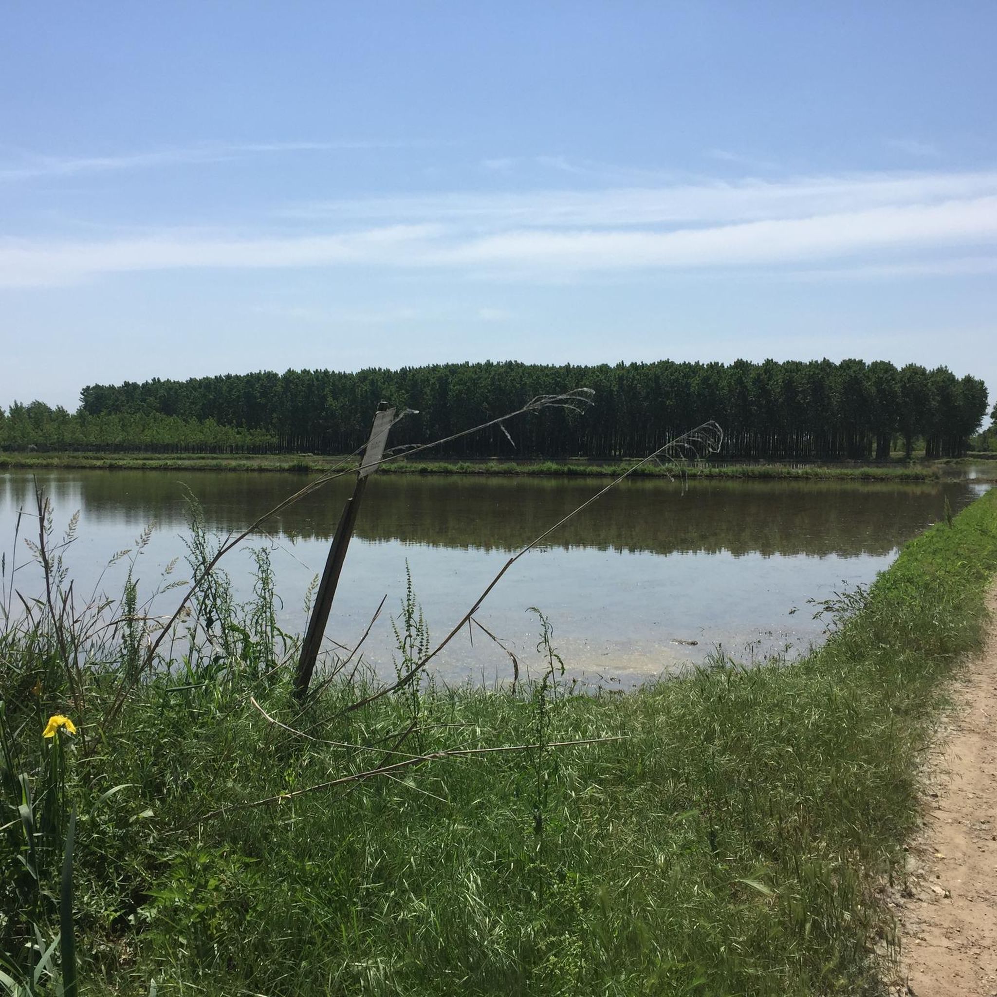
커뮤니티 팁

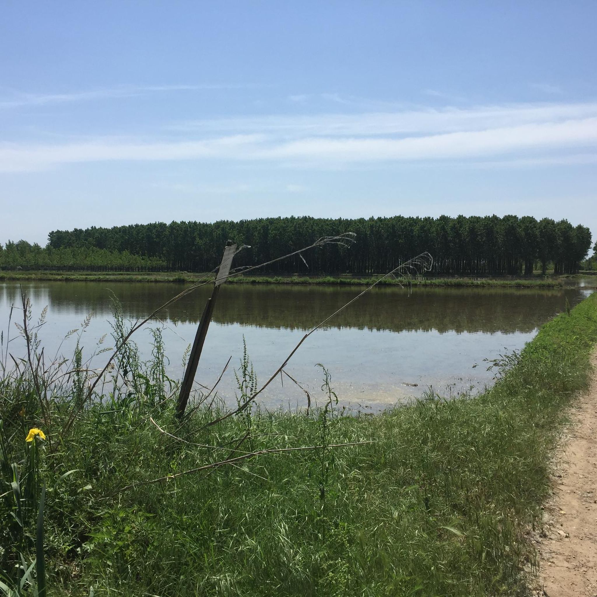
자연 속에 둘러싸인 코스로, 여름과 겨울 모두 매우 아름답습니다. 잘 표시되고 쉽게 이동할 수 있는 길을 따라 산책하며 매우 인상적인 자연 경관을 즐길 수 있습니다.
1
0

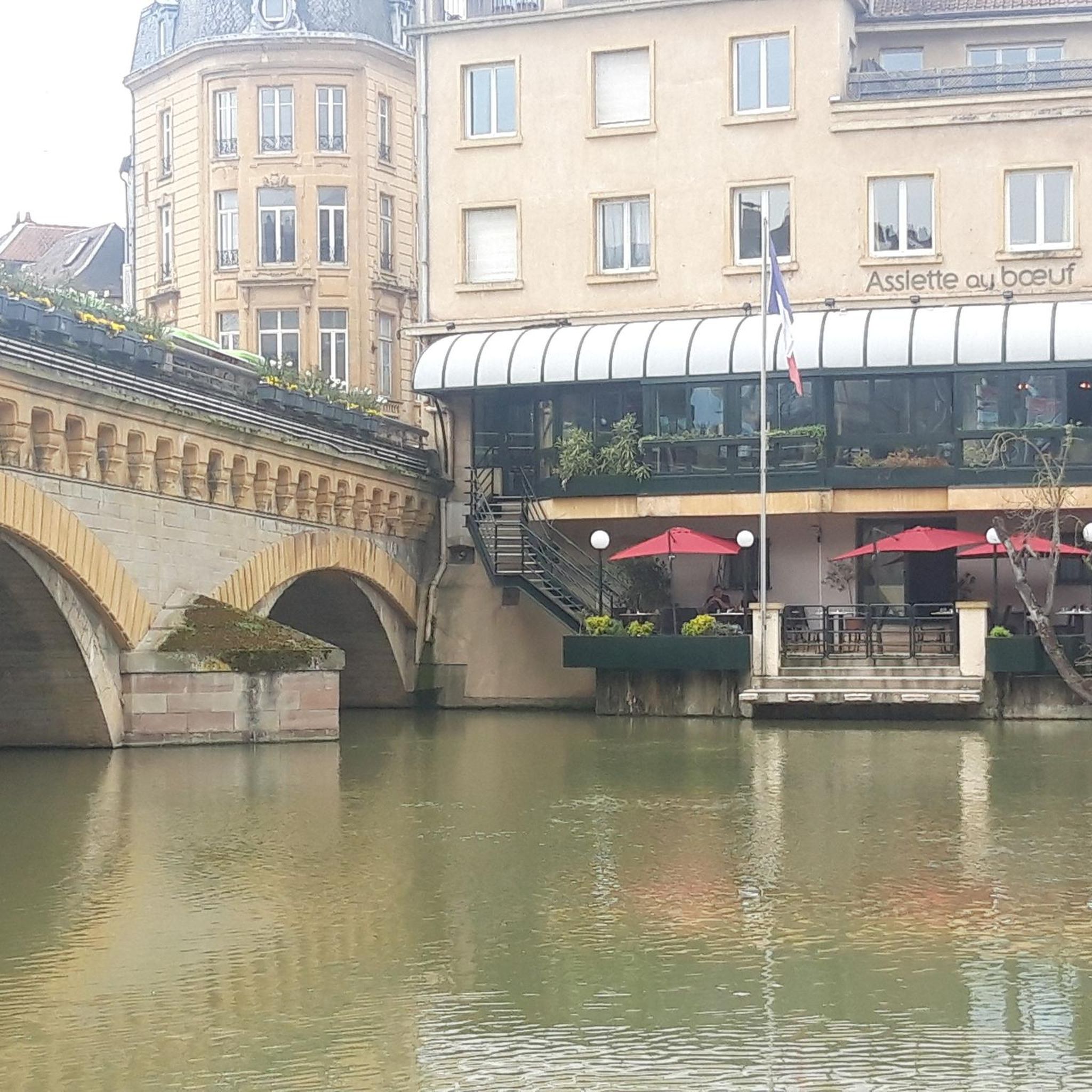
카시네타 디 루가냐노의 다리(Il Ponte di Cassinetta di Lugagnano)는 밀라노 광역시의 나빌리오 그란데(Naviglio Grande)를 따라 위치한 가장 특징적이고 역사적으로 중요한 기념물 중 하나입니다. 원래의 화강암 구조물은 17세기로 거슬러 올라가며, 밀라노 공국의 스페인 통치 기간 동안 운하로 분리된 두 개의 역사적 중심지를 연결하기 위해 건설되었습니다. 이 다리는 역사적으로 루가냐노(로마 시대 기원의 오른쪽 강둑)와 카시네타(중세 양식의 왼쪽 강둑)를 연결합니다. 이 다리는 1862년 5월에 등마루 모양으로 완전히 재건되었습니다. 이 개입은 독립 전쟁의 피해(1859년의 마젠타 전투와 같은)를 복구하고 나빌리오의 상업용 바지선 통행을 용이하게 하기 위해 필요했습니다.
0
0

The church features an exposed brick façade consisting of a projecting central body and two lower sides, divided by two flat lateral pilasters and a thick horizontal molding. The large churchyard accentuates the volume of the church and defines its profile. The bell tower rises over 40 meters on the left side of the temple, crowned by a cella enclosed by four single-lancet windows with corner pinnacles; the whole structure culminates in a Byzantine-style dome topped with a copper globe supporting a 2.80-meter-high cross.
0
0

Nice road, not to be taken during the hottest hours as it is exposed to the sun and mosquitoes
0
0

Beautiful 🌈 bridge to Cassinetta di Lugagnano🏘️
6
1

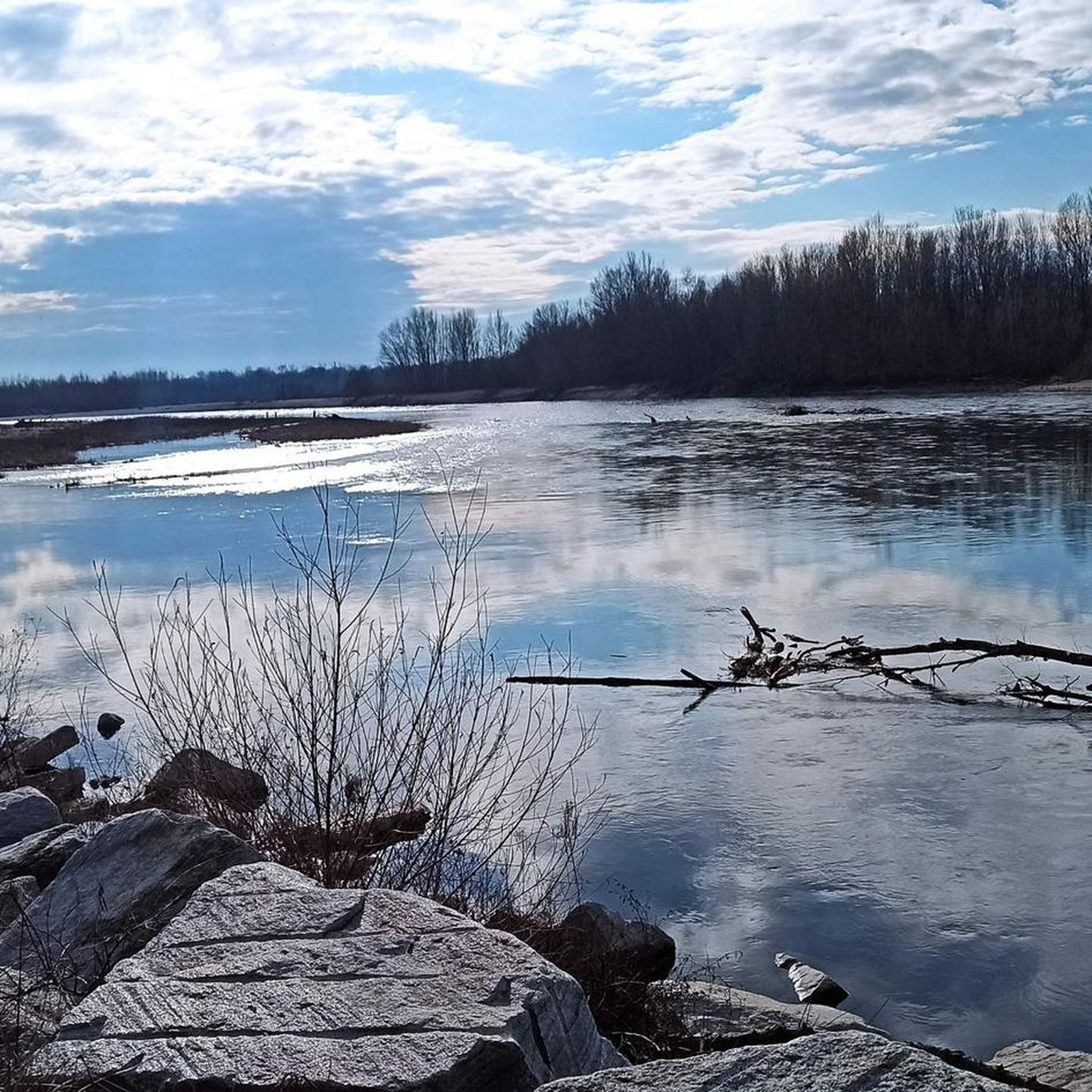
The trail runs in a very elevated position, on the edge of a plain that surrounds the outer part of a large bend of the Ticino River. The plain ends abruptly in a steep overhanging cliff caused by the erosion of the water at its base. The trail runs through greenery and flowers, in a panoramic position from which you can admire the branch from which it comes, and the one from which the water flows into the bend that flows at your feet. The large gravelly esplanades on the opposite bank inside the bend of the river are also veiled.
0
0


It would be a spectacular route but unfortunately lately, given the adverse weather, it is practically impassable along certain sections, and above all both the bridges and the fords are missing, which are now impassable. A big shame!
1
0
베사테 주변에서 가장 인기 있는 명소


더 살펴보기
다른 지역의 최고의 MTB 트레일를 살펴보세요.
