경로

플래너

기능

업데이트

App

로그인 또는 가입

앱 다운로드

로그인 또는 가입

경로
Places to see
Mountain Peaks
이탈리아
트렌티노

폴가리아

폴가리아‬에서 가장 멋진 ‪20‬개의 산 정상


폴가리아의 산 정상에 오르면 이 지역의 아름다운 모습을 제대로 구경할 수 있어요. 다만, 20
곳이나 되는 산 정상 중에서 어떤 곳을 가야 할 지 고민된다는 게 문제죠. 폴가리아에서 가장 멋진 산 정상을 살펴본 후에 마음에 드는 산 정상을 다음 모험 계획에 추가해보세요.

마지막 업데이트: 8월 17, 2026

아디제 자전거길 (Etschtalradweg)

하이라이트 • 자전거 도로

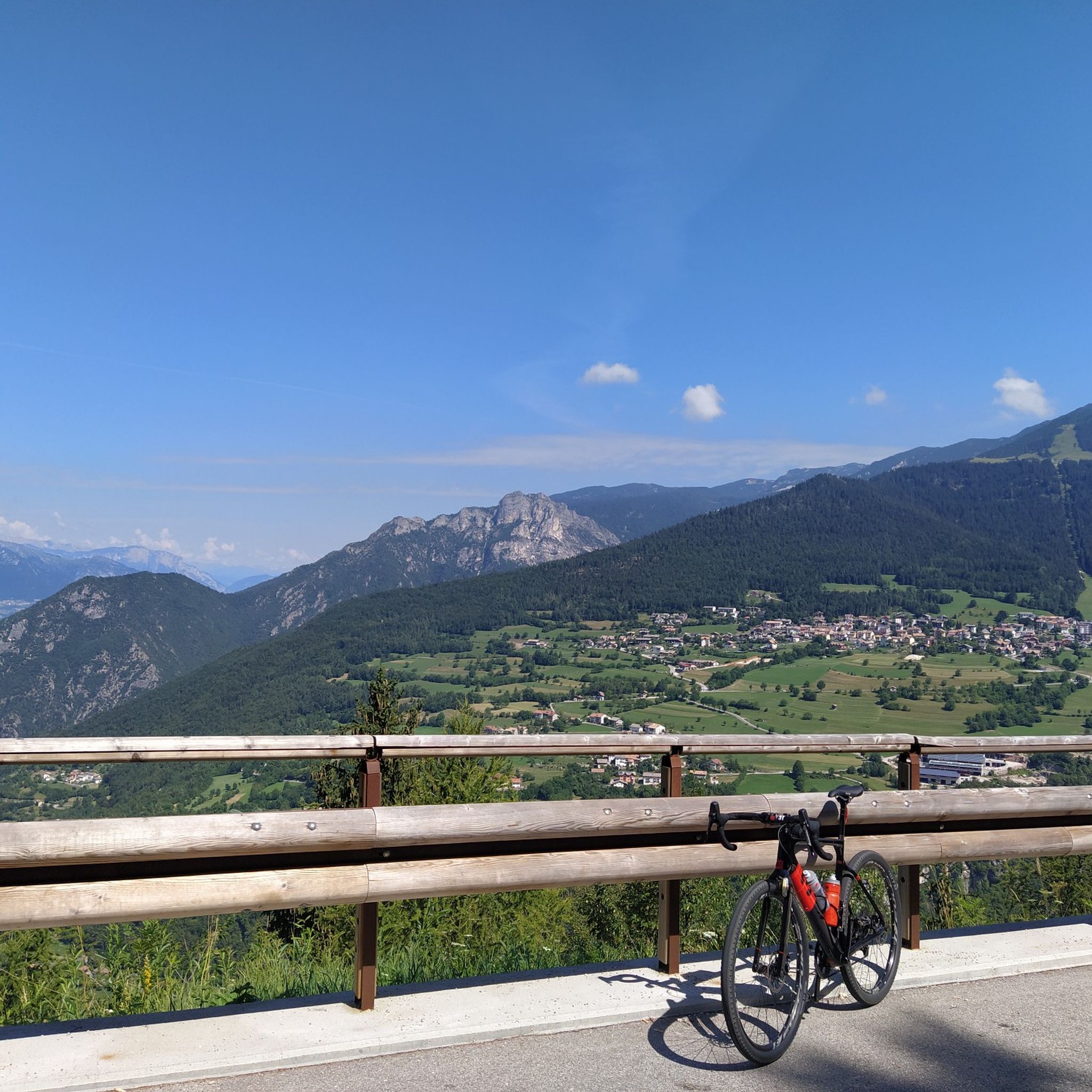
Between Aldeno and Besenello there is one of the quietest and greenest spots along the entire Adige cycle path.

번역자 Google •

에 의해

라이딩 보기

휴대폰으로 전송

저장

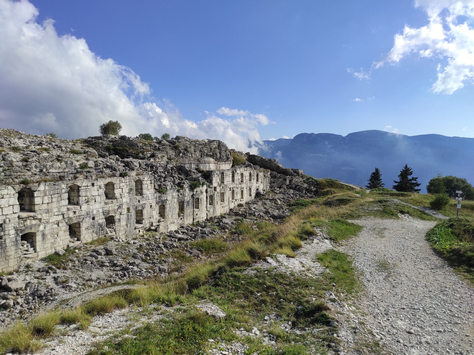
치마 베체나 정상과 요새

하이라이트 • 정상

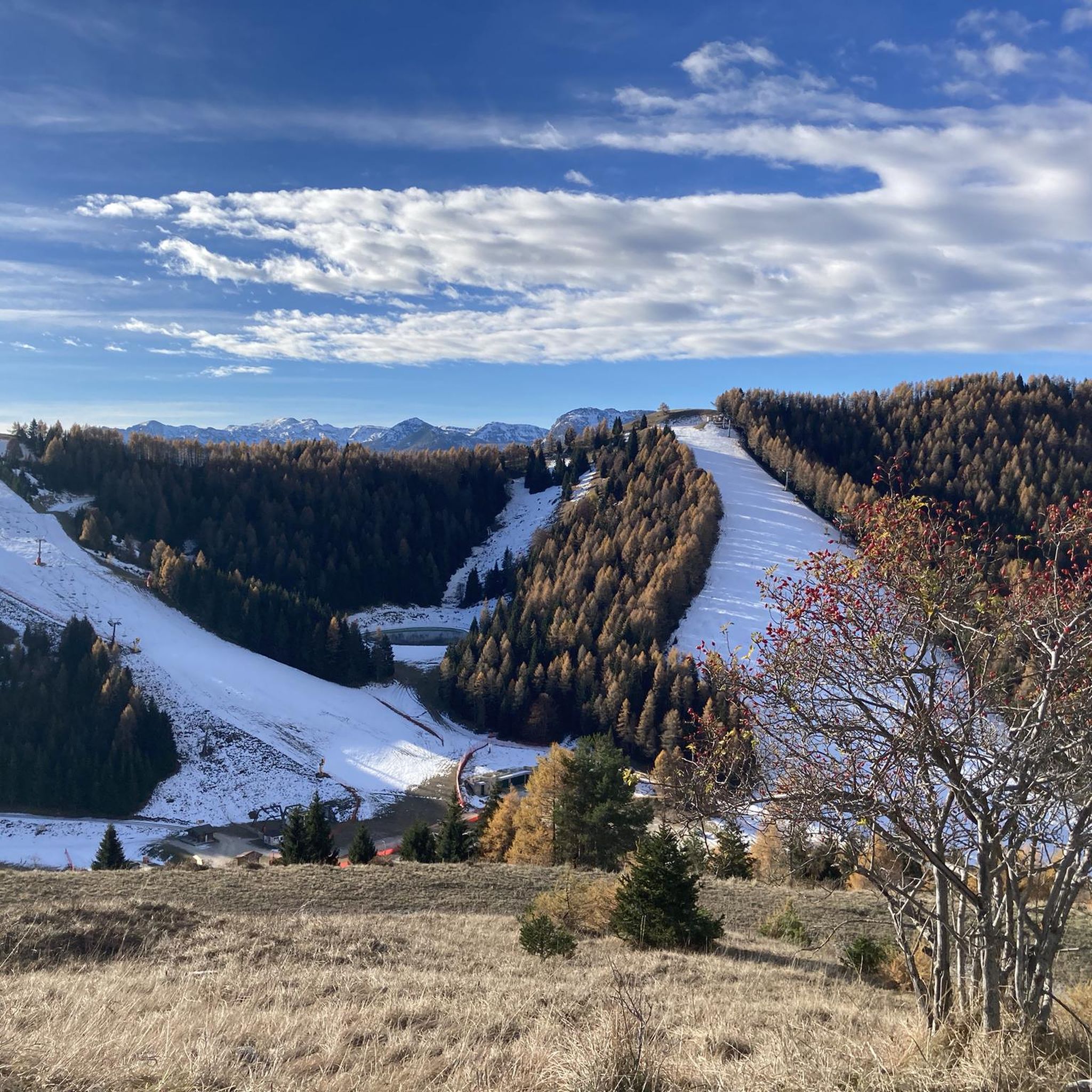
Panoramic terrace overlooking Valsugana and the lakes of Levico and Caldonazzo, Cima Vezzena can be reached either from the Vezzena pass, passing by the Verle fort and continuing on foot along the old carriage road, or via path no. 205.

번역자 Google •

에 의해

저장

이런 장소를 발견하려면 지금 가입하세요

최고의 싱글 트랙, 봉우리 및 다양한 흥미로운 야외 장소에 대한 추천을 받아보세요.

무료 회원 가입

몬테 마조 정상 십자가

하이라이트 • 정상

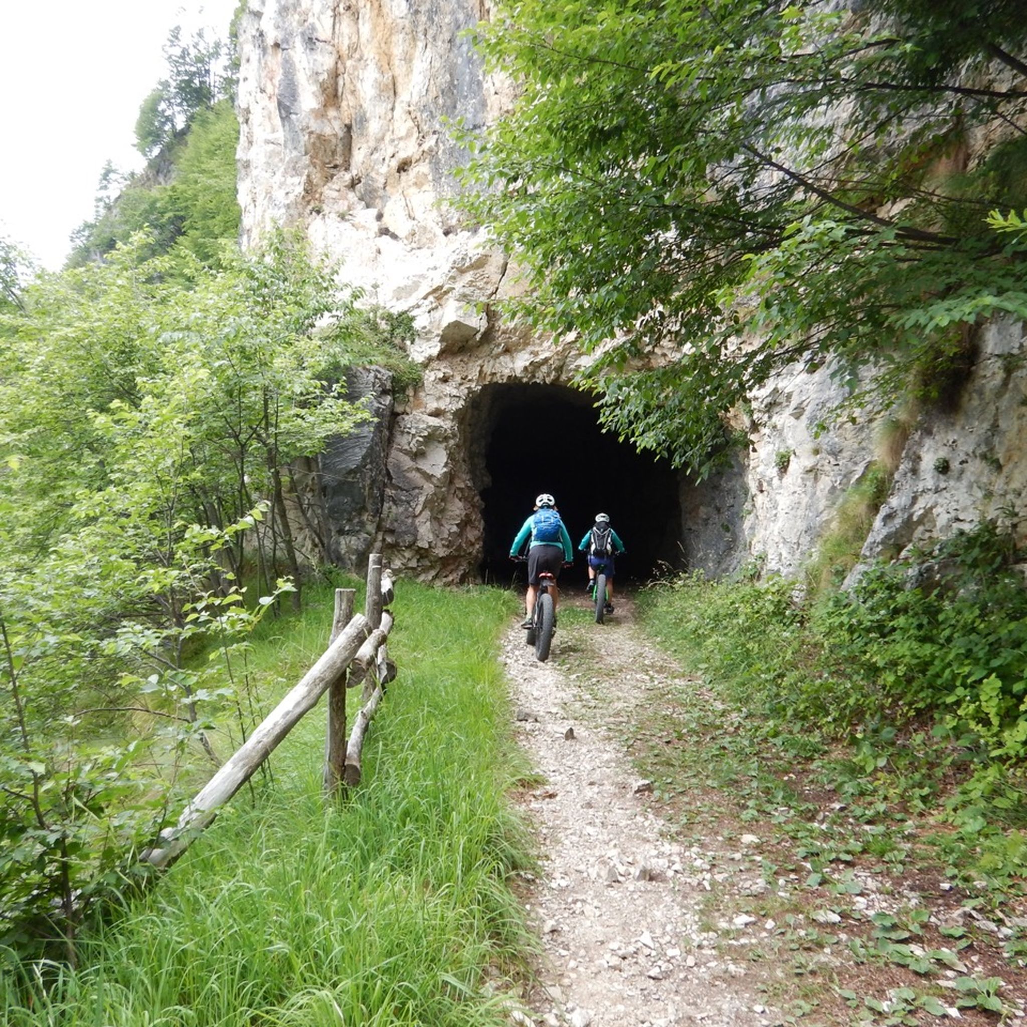
Starting from the small lake of Passo Coe, a gentle, constant and never demanding climb towards Monte Maggio via military mule track.
360 * panorama once you reach the top.

번역자 Google •

에 의해

저장

치마 마르졸라

하이라이트 • 정상

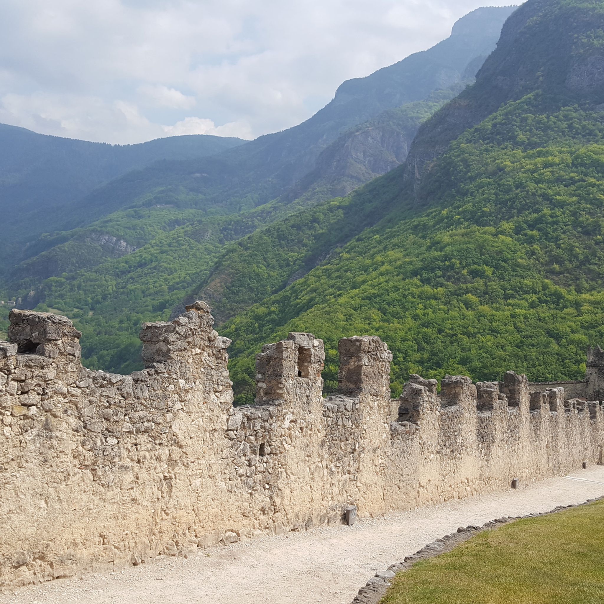
Beautiful view of Trento and Lake Caldonazzo

번역자 Google •

에 의해

저장

치마 팔론

하이라이트 • 정상

Located at an altitude of 2,232 meters above sea level, Cima Palon is the highest peak in the Pasubio massif, in the Vicenza Pre-Alps. It was also a very important …

번역자 Google •

에 의해

저장

무료로 가입하여 폴가리아 주변의 더 많은 봉우리를 발견하세요.

무료 회원 가입

이미 komoot 계정이 있나요?

오늘 무료 계정으로 시작하세요

다음 모험이 기다리고 있어요.

로그인 또는 가입하기

폴가리아 주변 인기 장소

Il Sentiero della Pace – viaggio nella memoria storica del Trentino

역사와 자연을 타고 다니는 - 100Km dei Forti

Free your energy! The mountain bike routes of Alpe Cimbra

Mountain Biking in Trentino — from the Dolomites to Lake Garda

중지중해 자전거 알프스 고고대 투어

폴가리아 하이킹

폴가리아 MTB 트레일

폴가리아 사이클링

폴가리아 로드 사이클링 경로

폴가리아 주변 그래블 라이딩

폴가리아 주변의 다른 모험

Il Sentiero della Pace – viaggio nella memoria storica del Trentino

하이킹 컬렉션 에 의해

Visit Trentino

커뮤니티 팁

Daniele
10월 12, 2025, Cima Palon

Be very careful if you want to enter the underground tunnels.

번역: Google

0

0

DO NOT GO UP TO MONTE MAGGIO BY THE TRACK ⚠️ but take the dirt road from Passo Coe, changing the track👍

번역: Google

1

0

Thomas
7월 17, 2025, Cima Palon

Dente Italiano, immersed in the history of our country.

번역: Google

0

0

Can it be done on foot?

번역: Google

0

0

A. 🐺
12월 8, 2024, Cima Palon

Cima Palon (the highest peak in the Pasubio massif, at 2,232 meters) offers a spectacular 360° panorama, from the Veneto Plain to the Adamello glaciers, all the way to the peaks of Alto Adige. During the Great War, it became the main fulcrum of the entire Italian defensive line on Pasubio. However, exposure to enemy artillery fire forced troops to burrow into tunnels that, over the months, became increasingly larger and more complex. The Galleria Papa, named after the general who ordered its construction, was dug deep within Cima Palon. Its levels and branches formed a veritable underground fortress. The main tunnel, still accessible today, allowed access to the Dente Italiano, the tip of the front line, sheltered from enemy fire. In the various branches there were 4 field guns, 7 machine guns, 2 flamethrowers, ammunition reserves, an observatory, a generator for lighting, a telephone exchange, shelters for approximately 250 men, a dressing station, a command post and a large cistern for drinking water.

번역: Google

0

0

From the summit of Monte Maggio (1853 m) the view is majestic: on one side the view extends over the Passo Coe, the Alpe Cimbra, the Becco di Filadonna, and beyond; on the other, over the underlying basin of Laghi, the Tonezza plateau and the Asiago plateau, the Pasubio, the Novegno, up to the glimpse of the Venetian plain that widens at lower altitudes. During the First World War, Monte Maggio was disputed from the beginning of the conflict, given that the border between the Austro-Hungarian Empire and the Kingdom of Italy (today between Trentino and Vento) passed on its crest: trenches and cave shelters are still clearly visible all around. https://it.wikipedia.org/wiki/Monte_Maggio

번역: Google

0

0

the highest peak of the Pasubio group

번역: Google

0

1

Located at an altitude of 2,232 meters above sea level, Cima Palon is the highest peak in the Pasubio massif, in the Vicenza Pre-Alps. It was also a very important place for the Italian army during the fighting of the First World War.

번역: Google

1

1

폴가리아 주변에서 가장 인기 있는 경로

폴가리아 하이킹

폴가리아 주변에서 가장 인기 있는 명소

Places to see

Store rating

komoot 모바일 앱으로 영감을 받아보세요

무료 komoot 계정로 끝없는 야외 모험을 손쉽게 찾고, 맞춤 설정하며 길안내할 수 있어요.

또는

지금 komoot에 가입하세요

Store rating

더 살펴보기

이 가이드를 통해 폴가리아 주변의 더 놀라운 정상들을 확인해보세요:

캄피텔로 디 파사카나제이마진포짜 디 파사아비오라바로네나고 토르볼레페르진 발수가나브렌토니코리바 델 가르다아르코알라레드로알토피아노 델라 비골라나알데노노미로베레토모리코마노 테르메론조-키에니스시모네칼리아노레비코 테르메트렌토테나칼세라니카 알 라고텐노프레다조비고 디 파사이세라보르고 발수가나드로칼도나조베세넬로포마롤로볼라노소라가트람빌레노바레나론체뇨 테르메드레나카베딘모에나테세로루세나비뇰라-팔레시나피아베빌라 라가리나폰도다이아노프라실롱고노발레도가르니가 테르메카스텔로-몰리나 디 피엠카라노카스텔폰도브레즈노가레도판키아발라사메자노카발레즈프리미에로 산 마르티노 디 카스트로차카스텔누오보테라뇰로지아노 디 핌메텔베텔베 디 소프라론키 발수가나론존아디제카스텔 이바노운하 산 보보이머사르노니코말로스코Rete Di Riserve Alpi Ledrensi피에베 테시노신테 테시노스쿠렐토르체뇨페이오오스페달레토바젤가 디 피네카바레노치베짜노마드루초암블라 돈카스텔로 테시노Parco naturale Paneveggio - Pale di San Martino발플로리아나루프레 멘돌라피에베 디 보노 프레조프레다이아산토르솔라 테르메알타발레펠리자노블레지오 수페리어그리뇨알비아노티오네 디 트렌토보르고 라레스랍비스푸르즈버밀리오스피아초포르나스베돌로비에노보르고 치즈스토로팔루 델 페르시나피에로초지오보본돈카리솔로발레라기루모사그론 미스셀라 주디카리에오사나로나-라세스메졸롬바르도스트렘보소버빌 다노니아스포르마조레페이도사모네산 로렌조 도르시노핀졸로주스티노산 미셸 올아디제안달로켐브라 리지나고트레빌스포미노어메자나클로즈스테니코캄포덴노카베다고로메노코메자두라메조코로나세곤자노몰베노Parco naturale provinciale dell' Adamello Brenta마시메노라비스잠바나네이브 산 로코덴노카프리아나발다온디마로 폴가리다클레스파이 델라 파가넬라카르자노로베레 델라 루나콘타브레시모남성산제노담벨카스텔 콘디노보체나고카데르존 테르메리보크로비아나레보칼데스테르졸라스펠루고카뇨포르테 디 렌데나몬테 브리오네카비자나Riserva Naturale Integrale Tre Cime Del Bondone시스

근처 어드벤처 가이드

아디제 즐길거리

background

새로운 정복을 위한 준비를 하세요

무료로 가입하기

탐험하기
경로경로 플래너기능바우처 사용하이킹MTB 트레일로드 사이클링 경로바이크패킹사이트맵
앱 다운로드
소셜 미디어에서 팔로우하기

© komoot GmbH

개인 정보 보호 정책