산토르솔라 테르메에서 가장 멋진 20개의 산 정상
산토르솔라 테르메의 산 정상에 오르면 이 지역의 아름다운 모습을 제대로 구경할 수 있어요. 다만, 20
곳이나 되는 산 정상 중에서 어떤 곳을 가야 할 지 고민된다는 게 문제죠. 산토르솔라 테르메에서 가장 멋진 산 정상을 살펴본 후에 마음에 드는 산 정상을 다음 모험 계획에 추가해보세요.
마지막 업데이트: 10월 9, 2026


이런 장소를 발견하려면 지금 가입하세요
최고의 싱글 트랙, 봉우리 및 다양한 흥미로운 야외 장소에 대한 추천을 받아보세요.

몬테 칼리시오 정상 십자가
하이라이트 • 정상
번역자 Google •
팁에 의해

Dos Le Grave
하이라이트 • 전망대
번역자 Google •
팁에 의해

무료로 가입하여 산토르솔라 테르메 주변의 더 많은 봉우리를 발견하세요.
이미 komoot 계정이 있나요?
오늘 무료 계정으로 시작하세요
다음 모험이 기다리고 있어요.


커뮤니티 팁

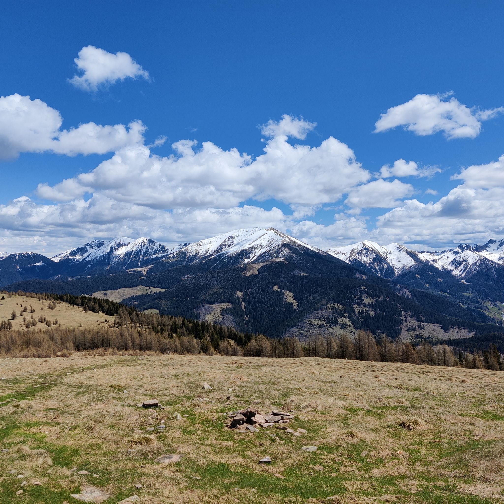
고립되고 뾰족하며 황량하고 돌투성이인 Cima Fravòrt는 Asiago 고원의 북쪽 윤곽, alta Valsugana, 가까운 Cima Gronlait, Lagorai 및 더 멀리 돌로미티까지 360° 숨막히는 파노라마를 제공합니다. 어느 정도의 노력으로 정복한 후 만족스럽고 평온한 풍경!
0
0

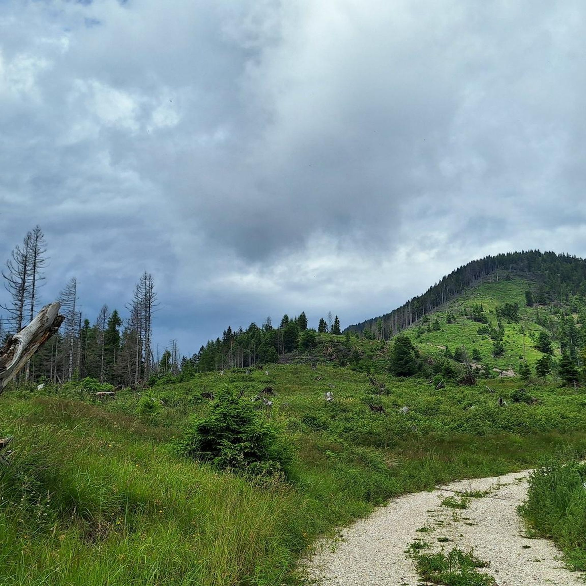
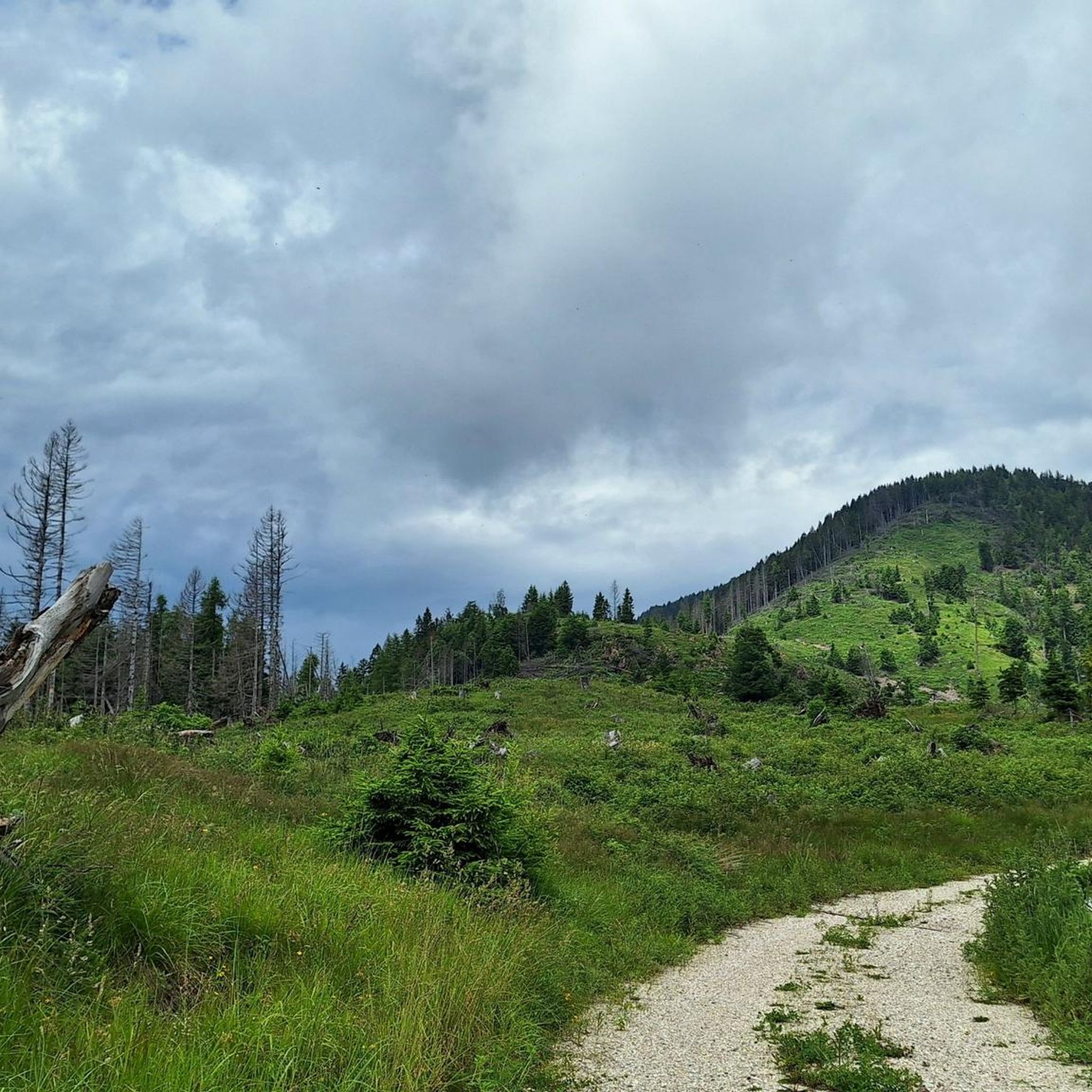
세 방향에서 접근 가능한 트렌티노의 멋진 봉우리. 정상에는 비박 시설과 제1차 세계 대전 당시의 오스트리아 군사 유물이 있습니다. 이 지역에서 가장 높은 봉우리이기 때문에 파노라마 전망을 통해 매우 멀리 떨어진 산악 그룹과 봉우리까지 발견할 수 있습니다.
0
0


분재 숲은 규암 잔해의 언덕에 있습니다. 이 건조하고 바람이 많이 부는 토양에서 자란 야생 소나무는 분재를 연상시키는 모양과 크기를 가지고 있어, 숨겨진 멋진 풍경과 탁 트인 전망으로 둘러싸인 매우 독특하고 매혹적인 환경을 만듭니다.
0
0

Beautiful location with a panoramic view of the Adige Valley, Montevaccino, and the Piné plateau.
0
0

Dos Le Grave (or Doss de le Grave) is one of the most interesting natural areas in the Argentario Ecomuseum, in the Monte Calisio area. It features an important biotope that displays two extremely different environmental typologies: a wetland and an arid zone, located respectively at the foot and on the western flank of Dos. A characteristic of this small, semi-desert-like elevation is the striking presence of bonsai-like Scots pines growing on waste material from silver mining (an activity that affected the entire plateau from the 11th to the 15th century). The arid portion is in immediate contact with the wetland below. This peat bog was formed by the filling of a small lake basin. Small bodies of open water still remain from this basin.
1
0
Mount Calisio (also known as Argentario) is a 1,096-meter peak located between the municipalities of Trento and Civezzano. It is part of the Monte Croce-Sette Selle mountain chain. The area below (the Argentario Plateau) was once home to important silver mines, which declined in importance in the 15th century. The area, semi-abandoned for centuries, was rediscovered in the 20th century with the ever-increasing growth of residential areas. Mount Calisio features an underground fortification built by the Austrians starting in August 1915. It was one of the largest and most modern structures in the Trento fortress, with a classic "H" shape consisting of two galleries, 250 and 160 meters long, and a connecting tunnel. Later, 10-12 meter vertical concrete shafts were dug to install two howitzers in armored cupolas. The bases of the M16 aircraft can still be seen on the summit. Today, Mount Calisio is crisscrossed by numerous hiking trails maintained by the SAT (a subsection of the Italian Alpine Club) in collaboration with the Argentario Ecomuseum. The summit offers a fabulous view of the Adige Valley and part of the Valsugana.
1
0

산토르솔라 테르메 주변에서 가장 인기 있는 명소


더 살펴보기
이 가이드를 통해 산토르솔라 테르메 주변의 더 놀라운 정상들을 확인해보세요:
