테라뇰로에서 가장 멋진 20개의 산 정상
테라뇰로의 산 정상에 오르면 이 지역의 아름다운 모습을 제대로 구경할 수 있어요. 다만, 20
곳이나 되는 산 정상 중에서 어떤 곳을 가야 할 지 고민된다는 게 문제죠. 테라뇰로에서 가장 멋진 산 정상을 살펴본 후에 마음에 드는 산 정상을 다음 모험 계획에 추가해보세요.
마지막 업데이트: 10월 10, 2026
아디제 자전거길 (Etschtalradweg)
하이라이트 • 자전거 도로
번역자 Google •
팁에 의해

이런 장소를 발견하려면 지금 가입하세요
최고의 싱글 트랙, 봉우리 및 다양한 흥미로운 야외 장소에 대한 추천을 받아보세요.
Monte Maggio
하이라이트 • 정상
360 * panorama once you reach the top.
번역자 Google •
팁에 의해


오늘 무료 계정으로 시작하세요
다음 모험이 기다리고 있어요.


커뮤니티 팁

Be very careful if you want to enter the underground tunnels.
0
0

DO NOT GO UP TO MONTE MAGGIO BY THE TRACK ⚠️ but take the dirt road from Passo Coe, changing the track👍
1
0


The Dente Italiano and the Dente Austriaco are two rocky towers of equal altitude facing each other, separated by a saddle but sadly united by history: during the First World War, they were the point on Pasubio where enemy lines were closest. With the Strafexpedition of 1916, the imperial army reached the Dente Austriaco, but was blocked by royal troops who had arrived on the Dente Italiano. A grueling and bloody standoff began, with several attempts to break through, all in vain. The impending winter prevented further fighting, and both sides began to fortify their positions and make them more livable... In the Dente Italiano, the Army Corps of Engineers created a veritable underground citadel. It could accommodate 500 men, with all the necessary means of subsistence: shelters, storage facilities, a cistern for drinking water, a generator for lighting, dressing stations, and command posts. The armament consisted of five machine guns, two cannons, and one flamethrower, supported by artillery from the nearby Palon and Cogolo Alto peaks. In contrast, the Austrian Tooth was transformed into an impregnable fortress, thanks to its elongated, square shape, with fire on three sides. There were 10 machine gun emplacements and six artillery emplacements in the cave, complemented by the armament arrayed along the trenches at the summit: 18 grenade launchers, 12 grenade launchers, four flamethrowers, five cannons, and 10 machine guns. Here, too, the bowels of the mountain housed the troops with all the logistical and survival equipment: shelters, storage facilities, lighting, ventilation, a cistern, a telephone exchange, searchlights, etc. Faced with the impossibility of advancing, both commands believed the only solution was to blow up the enemy stronghold from the ground up: thus began the war of mines and countermines, with a dense network of underground tunnels. Between the autumn of 1917 and the spring of 1918, there were 10 explosions, five Austrian and five Italian, until the gigantic 50-ton Austrian dynamite charge on March 13, 1918, which shattered the northern slope of the Dente Italiano, altering its morphology and causing casualties on both sides. After years of war and thousands of deaths, the great war on Pasubio ended with the front line virtually unchanged! To pass between the two Denti, one passes through the chasm created by the mine, amidst enormous boulders and debris: impressive.
0
0
Cima Palon (the highest peak in the Pasubio massif, at 2,232 meters) offers a spectacular 360° panorama, from the Veneto Plain to the Adamello glaciers, all the way to the peaks of Alto Adige. During the Great War, it became the main fulcrum of the entire Italian defensive line on Pasubio. However, exposure to enemy artillery fire forced troops to burrow into tunnels that, over the months, became increasingly larger and more complex. The Galleria Papa, named after the general who ordered its construction, was dug deep within Cima Palon. Its levels and branches formed a veritable underground fortress. The main tunnel, still accessible today, allowed access to the Dente Italiano, the tip of the front line, sheltered from enemy fire. In the various branches there were 4 field guns, 7 machine guns, 2 flamethrowers, ammunition reserves, an observatory, a generator for lighting, a telephone exchange, shelters for approximately 250 men, a dressing station, a command post and a large cistern for drinking water.
0
0
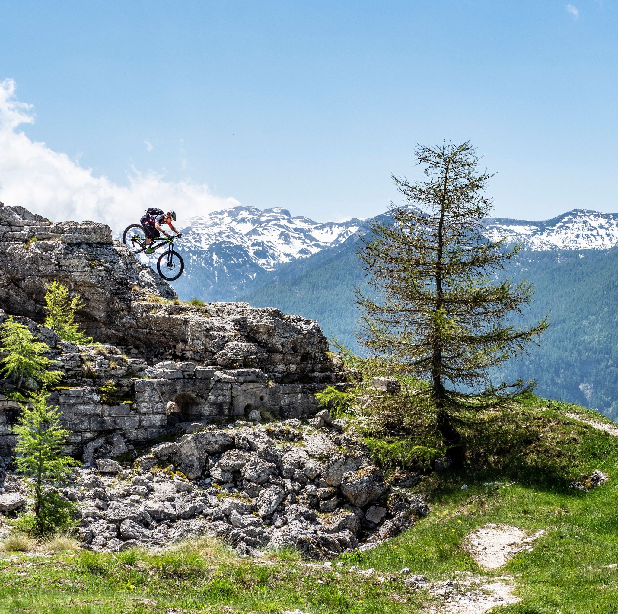
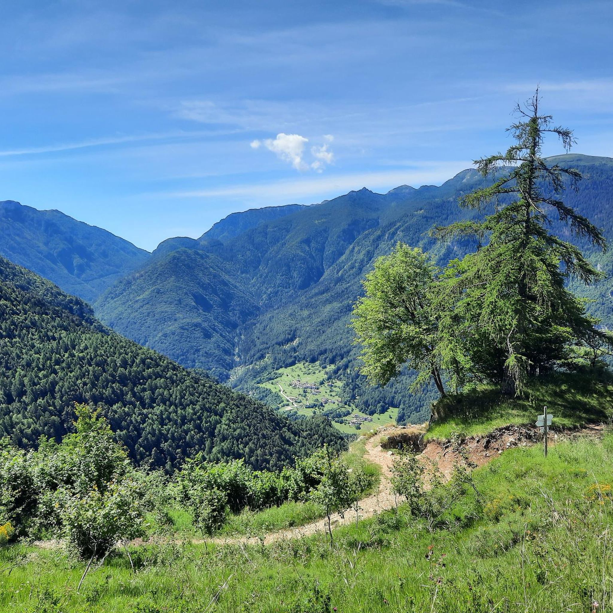
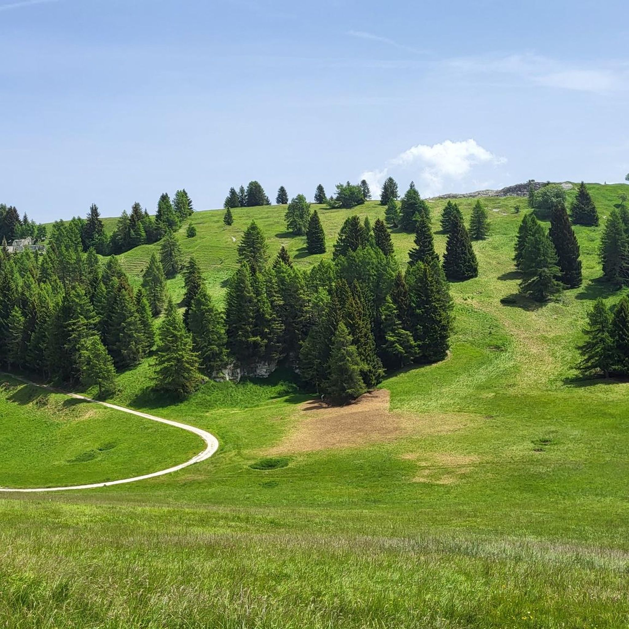
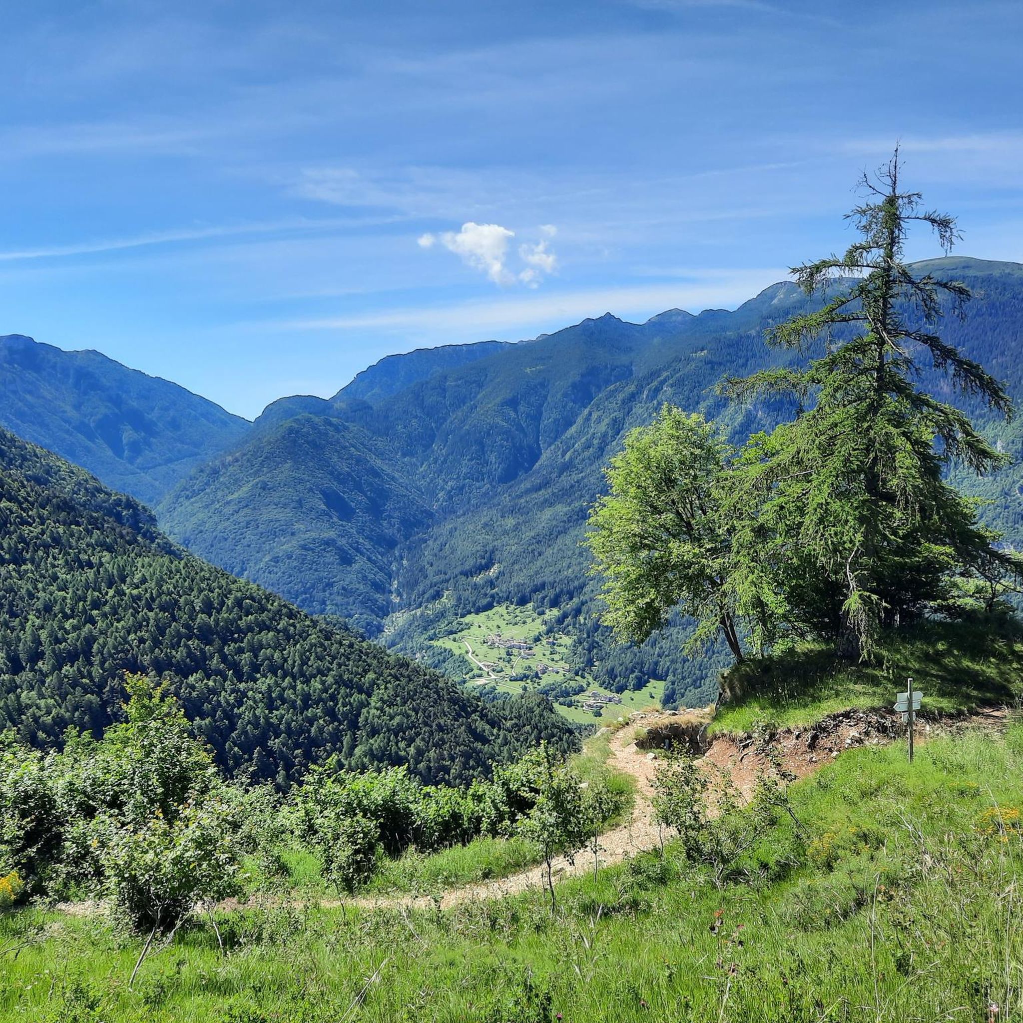
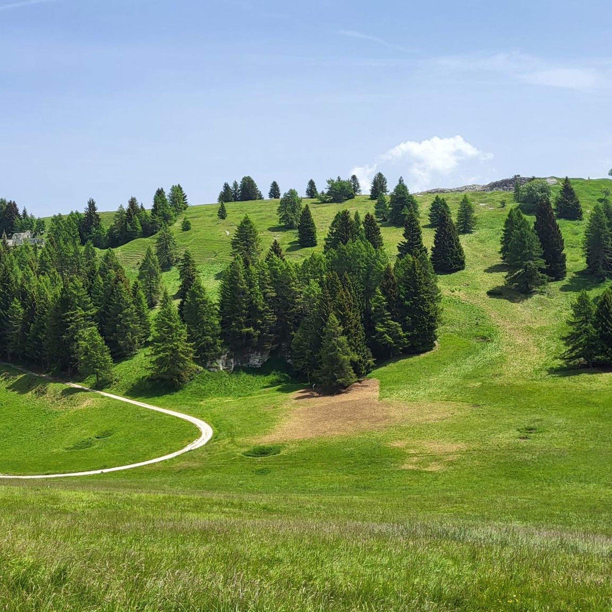
From the summit of Monte Maggio (1853 m) the view is majestic: on one side the view extends over the Passo Coe, the Alpe Cimbra, the Becco di Filadonna, and beyond; on the other, over the underlying basin of Laghi, the Tonezza plateau and the Asiago plateau, the Pasubio, the Novegno, up to the glimpse of the Venetian plain that widens at lower altitudes. During the First World War, Monte Maggio was disputed from the beginning of the conflict, given that the border between the Austro-Hungarian Empire and the Kingdom of Italy (today between Trentino and Vento) passed on its crest: trenches and cave shelters are still clearly visible all around. https://it.wikipedia.org/wiki/Monte_Maggio
0
0


Located at an altitude of 2,232 meters above sea level, Cima Palon is the highest peak in the Pasubio massif, in the Vicenza Pre-Alps. It was also a very important place for the Italian army during the fighting of the First World War.
1
1


더 살펴보기
이 가이드를 통해 테라뇰로 주변의 더 놀라운 정상들을 확인해보세요:
