스트렘보에서 가장 멋진 20개의 산 정상
스트렘보의 산 정상에 오르면 이 지역의 아름다운 모습을 제대로 구경할 수 있어요. 다만, 20
곳이나 되는 산 정상 중에서 어떤 곳을 가야 할 지 고민된다는 게 문제죠. 스트렘보에서 가장 멋진 산 정상을 살펴본 후에 마음에 드는 산 정상을 다음 모험 계획에 추가해보세요.
마지막 업데이트: 10월 9, 2026
파소 데이 콘트라반디에리
하이라이트 • 산악 고개
번역자 Google •
팁에 의해

Passo Presena
하이라이트 • 산악 고개
Here your eyes are enchanted by the amphitheater of gray peaks …
번역자 Google •
팁에 의해

이런 장소를 발견하려면 지금 가입하세요
최고의 싱글 트랙, 봉우리 및 다양한 흥미로운 야외 장소에 대한 추천을 받아보세요.
산 바르톨로메오 교회
하이라이트 • 종교적 장소
번역자 Google •
팁에 의해

베네로콜로 호수의 주세페 가리발디 산장
하이라이트 • 산장
번역자 Google •
팁에 의해


오늘 무료 계정으로 시작하세요
다음 모험이 기다리고 있어요.
커뮤니티 팁

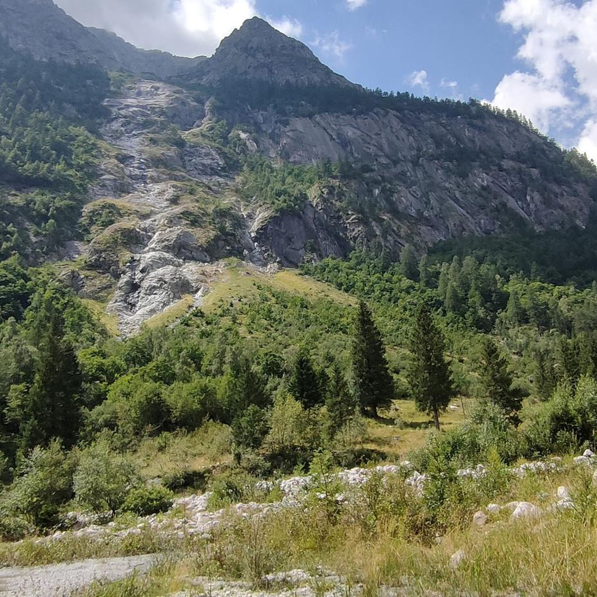
Il Passo dei Contrabbandieri는 해발 2.681미터에 위치한 알프스 고개로, 트렌티노(베르미글리오 코무네)와 롬바르디아(폰테 디 레뇨 코무네)를 연결하며 스텔비오 국립공원의 남쪽 경계에 자리 잡고 있습니다. 이 고개는 북쪽의 오르틀레스-체베달레 산군부터 남쪽의 아다멜로-프레사넬라 산군까지 펼쳐지는 파노라마 전망을 제공하는 여름 트레킹의 멋진 목적지입니다. 출발 지점: 토날레 고개(오스피치오 산 바르톨로메오 지역). 말가 발비올로(2.244m)까지 비포장 도로를 따라 올라갑니다. 여름 시즌에는 리프트를 이용하여 하이킹 거리를 단축할 수 있습니다. 말가에서 CAI 111번 트레일을 따라 가파르고 돌이 많은 마지막 구간을 지나면 고개로 바로 이어집니다. 토날레에서 도보로 오르는 총 순수 고도 상승량은 약 740미터이며, 오르막만 평균 2시간 20분이 소요됩니다. 난이도: 하이킹(E). 기술적인 어려움은 없지만 마지막 경사 때문에 힘든 하이킹입니다. 등산화 착용을 강력히 권장합니다.
1
0
해발 3,000미터. 어떤 날씨에도 적합한 복장을 항상 휴대하는 것이 좋습니다.
0
0

....정상까지 거의 알려지지 않고 관광객이 적으며, 약 2,300미터 높이에 십자가가 있는 능선은 발 렌데나 계곡과 아래 마을인 핀촐로를 내려다보며 흥미로운 풍경을 제공합니다. 확실히 과소평가되었지만 매우 아름답고, 비록 짧지만 꽤 힘든 오르막길입니다. 고리형 코스로도 갈 수 있지만, 능선 길로 올라가 목초지를 통해 내려오는 코스는 추천하지 않습니다. 능선 초원을 가로지르는 길은 미끄럽고 경사가 있으며 때로는 노출되어 있어 전문가 등산객에게만 적합하며 때로는 등반 기술이 필요합니다....
0
0

A pass located at 2,681 meters above sea level, on the watershed dividing northern Trentino from Lombardy, so called because during the Austro-Hungarian reign, smugglers passed through it carrying contraband goods. It was the site of trench warfare during the First World War, and today, the imposing ruins of trenches, barracks, and Italian army posts can still be seen on the great ridge that, starting from Cima Cadì, passed over western Monte Tonale, Cima Casaiole, and then from Passo dei Contrabbandieri, ascended first to Albiolino and then to Punta d'Albiolo, opposing the Austro-Hungarians who occupied Torrione d'Albiolo and the entire ridge descending from it, to eastern Monte Tonale and today's "Città morta" (Dead City), with a bold cantilevered engineering feat, still partially visible from the 1960s and 1970s. From the pass you can enjoy interesting views both to the north and to the south.
7
1

Stunning high altitude trail that can be done on a sure-footed mountain bike
2
0

Refuge in a strategic position both as a starting point for excursions and as a transit point.
0
0

The Presena pass reaches 3,000 meters above sea level and is located in the heart of the Presanella group. Here your eyes are enchanted by the amphitheater of gray peaks colored only by the white of the snow without any hint of vegetation. The pass can be reached either by cable car or on foot, in summer, following the SAT 209 trail sign.
6
0

At the Presena pass, you find an altitude of 3,000 meters. From this elevated position, you can enjoy a breathtaking 360-degree panorama, with spectacular views of various glaciers, with the Presena Glacier in the foreground. You can reach this altitude using the cable car that leaves from the Tonale pass. The place is truly spectacular.
2
0
스트렘보 주변에서 가장 인기 있는 명소


더 살펴보기
이 가이드를 통해 스트렘보 주변의 더 놀라운 정상들을 확인해보세요:
