마인-타우누스-크라이스 최고의 MTB 라이딩 경로
4.6
(2445)
7,483
자전거 타는 사람
513
라이딩
마인-타우누스-크라이스에서 하이킹하며 다름슈타트 지구 구석 부분까지 살펴볼까요? 마인-타우누스-크라이스에 있는 모든 하이킹 및 워킹 경로 컬렉션 중 가장 멋진 하이킹 경로를 엄선하여 소개해드릴게요. 다른 하이커가 공유한 실제 팁과 사진을 살펴보고 후기를 읽으며 마음에 드는 마인-타우누스-크라이스 워킹 경로를 찾아보세요.
마지막 업데이트: 7월 15, 2026
4.7
(86)
378
자전거 타는 사람
47.8km
03:55
940m
940m
어려운 산악 자전거 타기. 우수한 체력 필요. 뛰어난 라이딩 실력이 필요함.
4.7
(127)
258
자전거 타는 사람
28.4km
02:20
620m
620m
보통 산악 자전거 타기. 좋은 체력 필요. 뛰어난 라이딩 실력이 필요함.

무료 회원 가입
4.7
(64)
183
자전거 타는 사람
37.7km
03:22
970m
970m
어려운 산악 자전거 타기. 우수한 체력 필요. 뛰어난 라이딩 실력이 필요함.
4.8
(67)
138
자전거 타는 사람
33.0km
03:13
910m
910m
어려운 산악 자전거 타기. 우수한 체력 필요. 뛰어난 라이딩 실력이 필요함.
4.8
(44)
167
자전거 타는 사람
40.9km
02:08
80m
80m
보통 산악 자전거 타기. 좋은 체력 필요. 실력과 관계없이 누구나 갈 수 있음.
4.8
(8)
71
자전거 타는 사람
21.0km
01:46
480m
480m
보통 산악 자전거 타기. 좋은 체력 필요. 뛰어난 라이딩 실력이 필요함.
4.8
(41)
101
자전거 타는 사람
38.6km
03:45
970m
970m
어려운 산악 자전거 타기. 우수한 체력 필요. 뛰어난 라이딩 실력이 필요함.
4.9
(23)
67
자전거 타는 사람
31.5km
02:43
620m
620m
보통 산악 자전거 타기. 좋은 체력 필요. 뛰어난 라이딩 실력이 필요함.
4.9
(37)
72
자전거 타는 사람
43.9km
03:19
720m
720m
보통 산악 자전거 타기. 좋은 체력 필요. 뛰어난 라이딩 실력이 필요함.
4.6
(16)
77
자전거 타는 사람
27.2km
02:09
500m
500m
보통 산악 자전거 타기. 좋은 체력 필요. 실력과 관계없이 누구나 갈 수 있음.
더 다양한 경로와 다른 탐험가들의 추천을 살펴보세요.
무료 회원 가입
이미 komoot 계정이 있나요?
투어 추천은 다른 사람들이 komoot에서 완료한 수천 개의 활동을 바탕으로 구성되어 있습니다.
오늘 무료 계정으로 시작하세요
다음 모험이 기다리고 있어요.
로그인 또는 가입하기
마인-타우누스-크라이스의 다른 모험


커뮤니티 팁


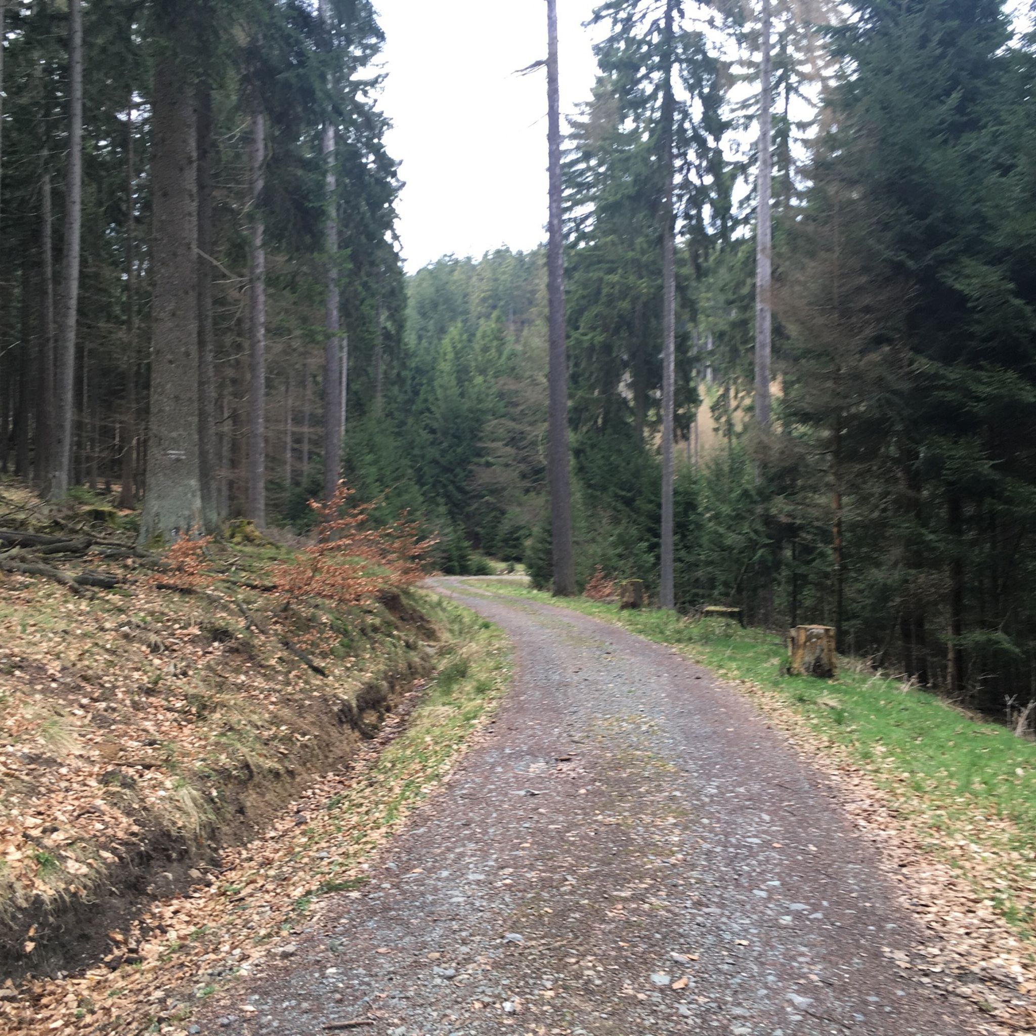
멋진 트레일입니다! 경사로 인해 일부 크고 작은 돌과 뿌리가 있어 오르막길이 까다롭습니다. 또한 일부 구간이 자갈로 새로 포장된 것 같아 아직 꽤 헐겁습니다. 내리막길은 저에게는 도로보다 훨씬 더 멋진 코스입니다. 하지만 로드바이크는 여기서도 분해될 것입니다.
0
0

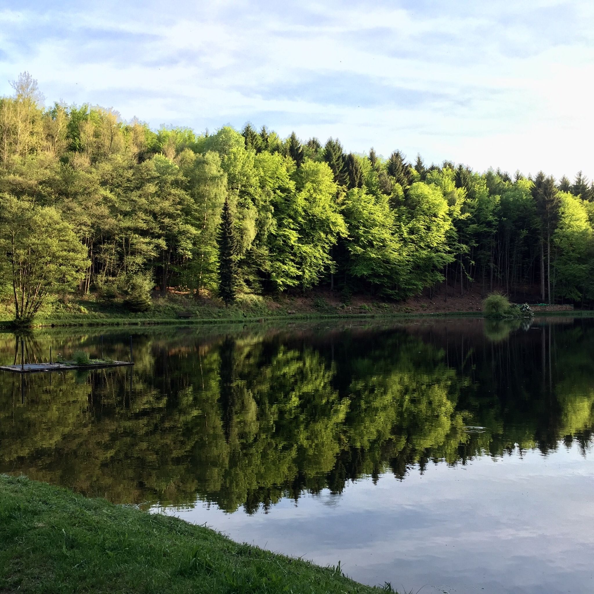
The surroundings are best viewed from the water... Insider tip: by rowboat!
1
0

Rettershof is a historic estate in the Fischbach district of Kelkheim, now a popular local recreation and excursion destination offering restaurants, equestrian activities, nature, and events. Originally, the property was founded in 1146 as the Premonstratensian Retters Monastery; after its dissolution in 1559, it developed into an agricultural estate with various owners. In the 19th century, the Englishman Frederik Arnold Rodewald acquired the estate and had a grand manor house built in the English Tudor style between 1884 and 1885. This building still forms the heart of the complex and has been owned by the city of Kelkheim since the early 1980s. Today, Rettershof comprises: • the Rettershof Castle Hotel with its historic charm, • the country inn "Zum fröhlichen Landmann" (The Merry Farmer), • a modern equestrian center with an indoor riding arena and paddocks, • expansive meadows, orchards, and woodlands. Rettershof also serves as a venue for markets, festivals, concerts, and harvest and cultural events, attracting many visitors from the region. In short: Rettershof combines medieval monastery and estate history with a modern recreational and cultural landscape – ideal for walks, horseback riding, events, and excursions in the Taunus region.
5
0
The tower at the ringfort stands at the top of a meadow slope northwest of Lorsbach. From there, one has a panoramic view over Lorsbach and the Lorsbach Valley. The tower takes its name from the Alteburg rampart located further up the hilltop. The wooden tower is 8.60 meters high. The viewing platform is at a height of 4.50 meters. The tower and the surrounding area are owned by the Lorsbach Local History Society. It was built according to plans by the late society member Emanuel Winkelmann. The tower was inaugurated on December 18, 2005. The tower at the ringfort is a popular destination for hikers and walkers. It is also easily accessible from Langenhain and Eppstein via hiking trails. The shortest route there leads from Lorsbach along the Alteburgweg trail.
14
1
The tower at the ringfort stands at the top of a meadow slope northwest of Lorsbach. From there, one has a panoramic view over Lorsbach and the Lorsbach Valley. The tower takes its name from the Alteburg rampart located further up the hilltop. The wooden tower is 8.60 meters high. The viewing platform is at a height of 4.50 meters. The tower and the surrounding area are owned by the Lorsbach Local History Society. It was built according to plans by the late society member Emanuel Winkelmann. The tower was inaugurated on December 18, 2005. The tower at the ringfort is a popular destination for hikers and walkers. It is also easily accessible from Langenhain and Eppstein via hiking trails. The shortest route there leads from Lorsbach along the Alteburgweg trail.
5
0
마인-타우누스-크라이스에서 가장 인기 있는 경로
마인-타우누스-크라이스에서 가장 인기 있는 명소


찾고 계신 것을 찾지 못하셨나요?
마인-타우누스-크라이스에서 더 많은 MTB 트레일를 확인하고 목적지에서 완벽한 경로를 찾아보세요.
더 살펴보기
다른 지역의 최고의 MTB 트레일를 살펴보세요.
