엡스타인 최고의 MTB 라이딩 경로
4.6
(436)
1,343
자전거 타는 사람
87
라이딩
엡스타인에서 산악자전거 라이딩을 하면 다양한 경치를 감상할 수 있어요. 어디서 출발해야 할지 모르겠다고요? 지금부터 엡스타인 최고의 MTB 경로를 찾을 수 있도록 가장 멋진 라이딩 장소를 소개해드릴게요!
마지막 업데이트: 10월 18, 2026
4.7
(138)
254
자전거 타는 사람
28.5km
02:20
620m
620m
보통 산악 자전거 타기. 좋은 체력 필요. 뛰어난 라이딩 실력이 필요함.
4.8
(40)
96
자전거 타는 사람
38.6km
03:45
970m
970m
어려운 산악 자전거 타기. 우수한 체력 필요. 뛰어난 라이딩 실력이 필요함.

4.7
(15)
61
자전거 타는 사람
26.2km
02:05
450m
450m
보통 산악 자전거 타기. 좋은 체력 필요. 뛰어난 라이딩 실력이 필요함.
4.4
(7)
34
자전거 타는 사람
23.9km
01:50
400m
400m
보통 산악 자전거 타기. 좋은 체력 필요. 뛰어난 라이딩 실력이 필요함.
5.0
(5)
31
자전거 타는 사람
22.5km
02:08
620m
620m
어려운 산악 자전거 타기. 좋은 체력 필요. 뛰어난 라이딩 실력이 필요함. 투어 중 자전거를 끌고 가야 하는 구간이 있을 수 있음.
더 다양한 경로와 다른 탐험가들의 추천을 살펴보세요.
이미 komoot 계정이 있나요?
투어 추천은 다른 사람들이 komoot에서 완료한 수천 개의 활동을 바탕으로 구성되어 있습니다.
오늘 무료 계정으로 시작하세요
다음 모험이 기다리고 있어요.
엡스타인 주변 인기 장소

By bike and train into the green - cycling Tours around the EUROBIKE

Orchards, vineyards, taverns – hikes in the RMV area
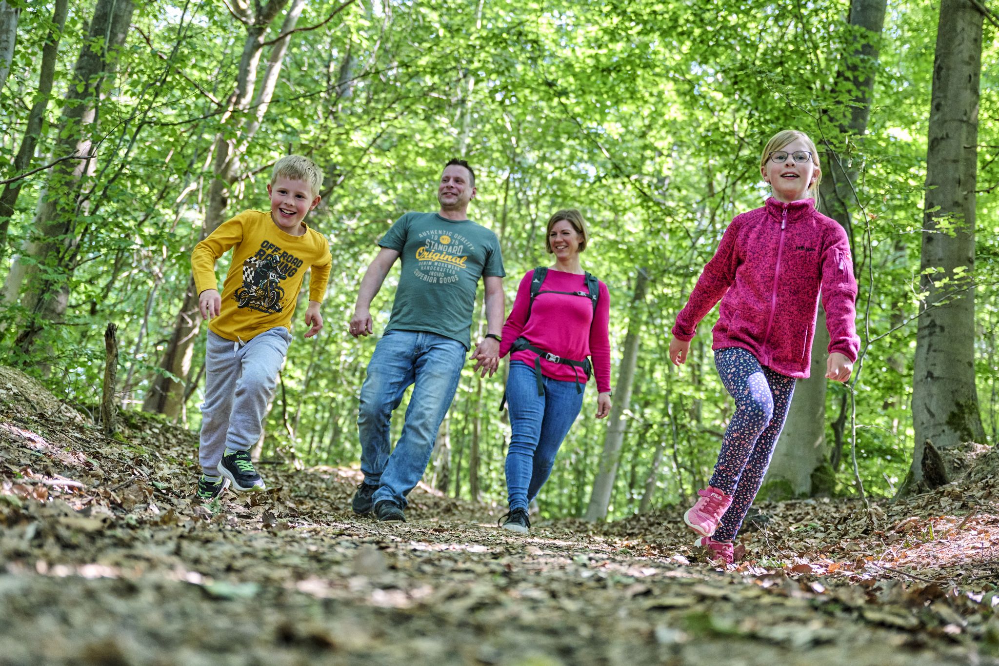
The journey is the adventure – hikes in Germany’s Taunus Mountains
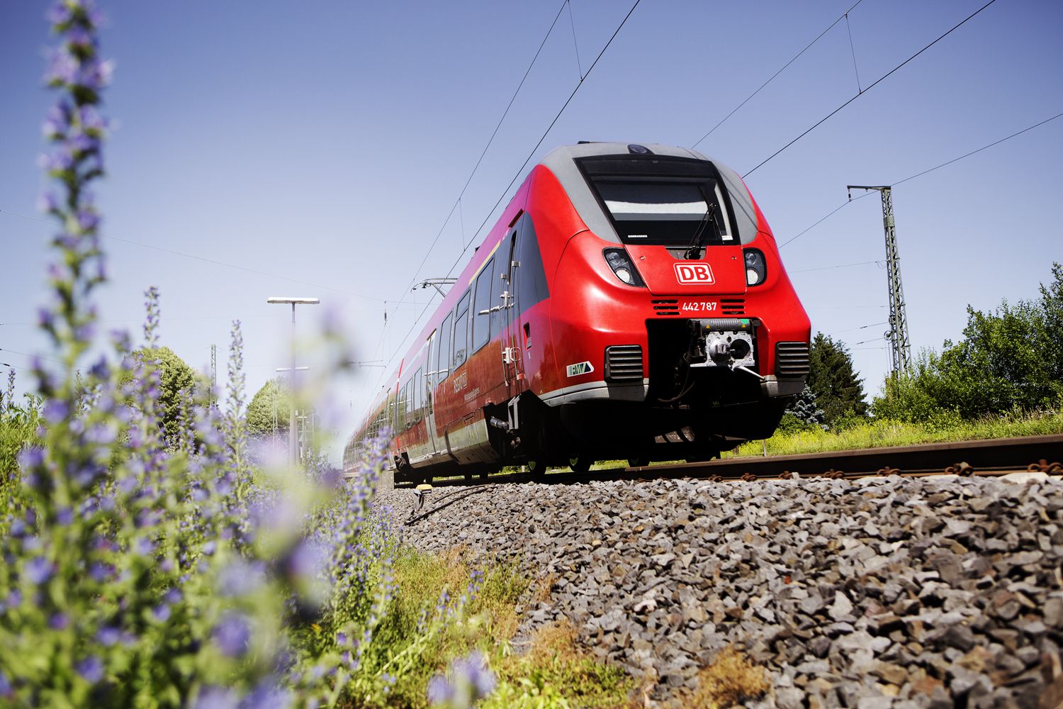
Into the countryside! — hike with Germany’s Rhine-Main Transport Network
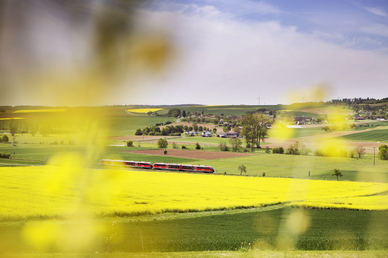
Valleys, meadows, forests — cycling bliss with Germany’s Rhine-Main Transport Network
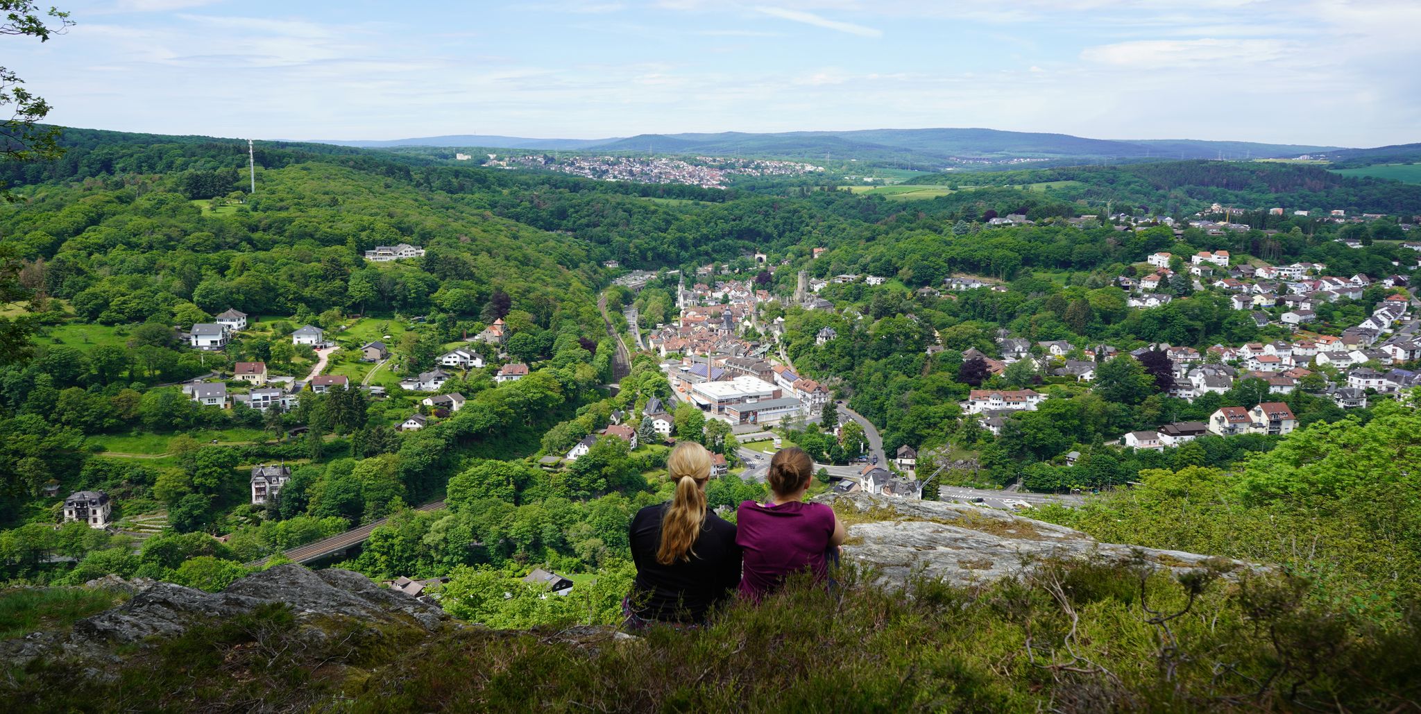
Exploring nature — hikes in Germany’s Taunus Mountains
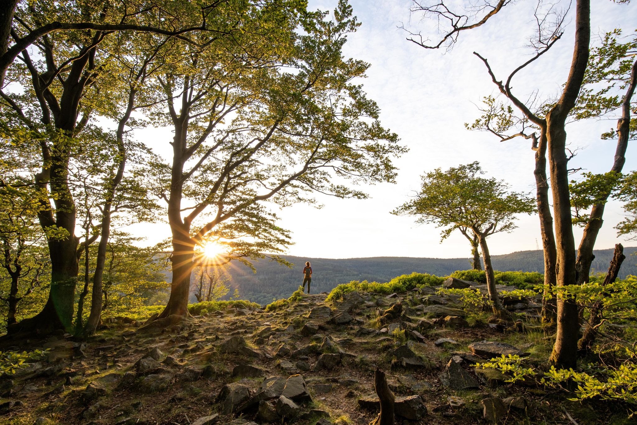
Deep valleys and airy heights – the most beautiful hikes in the Taunus in Germany
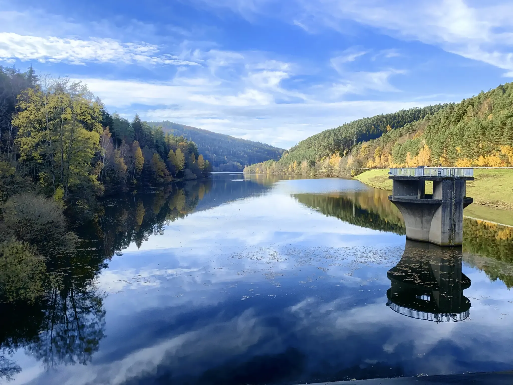
Mit Rosbacher auf Tour im Rhein-Main-Gebiet
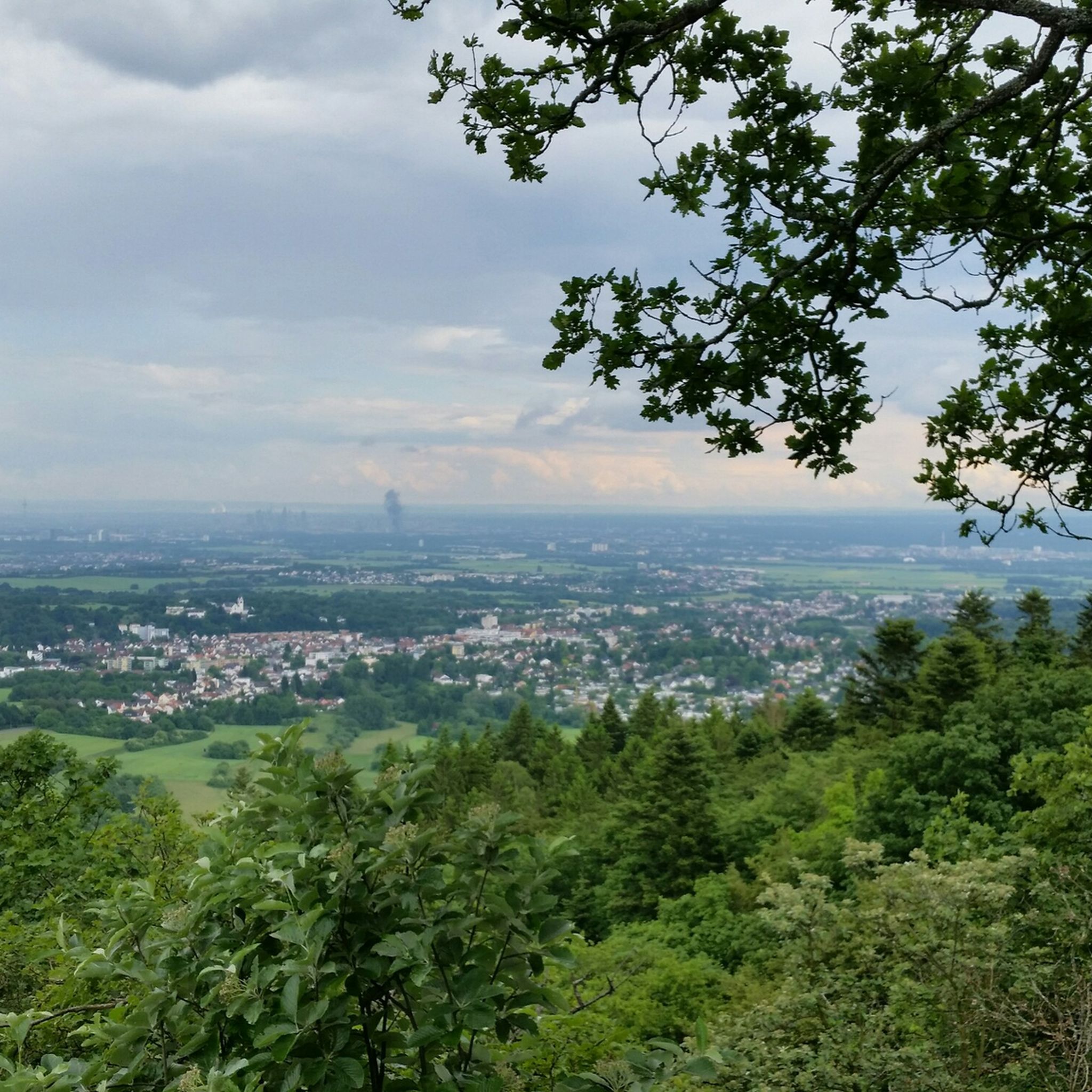
엡스타인 하이킹
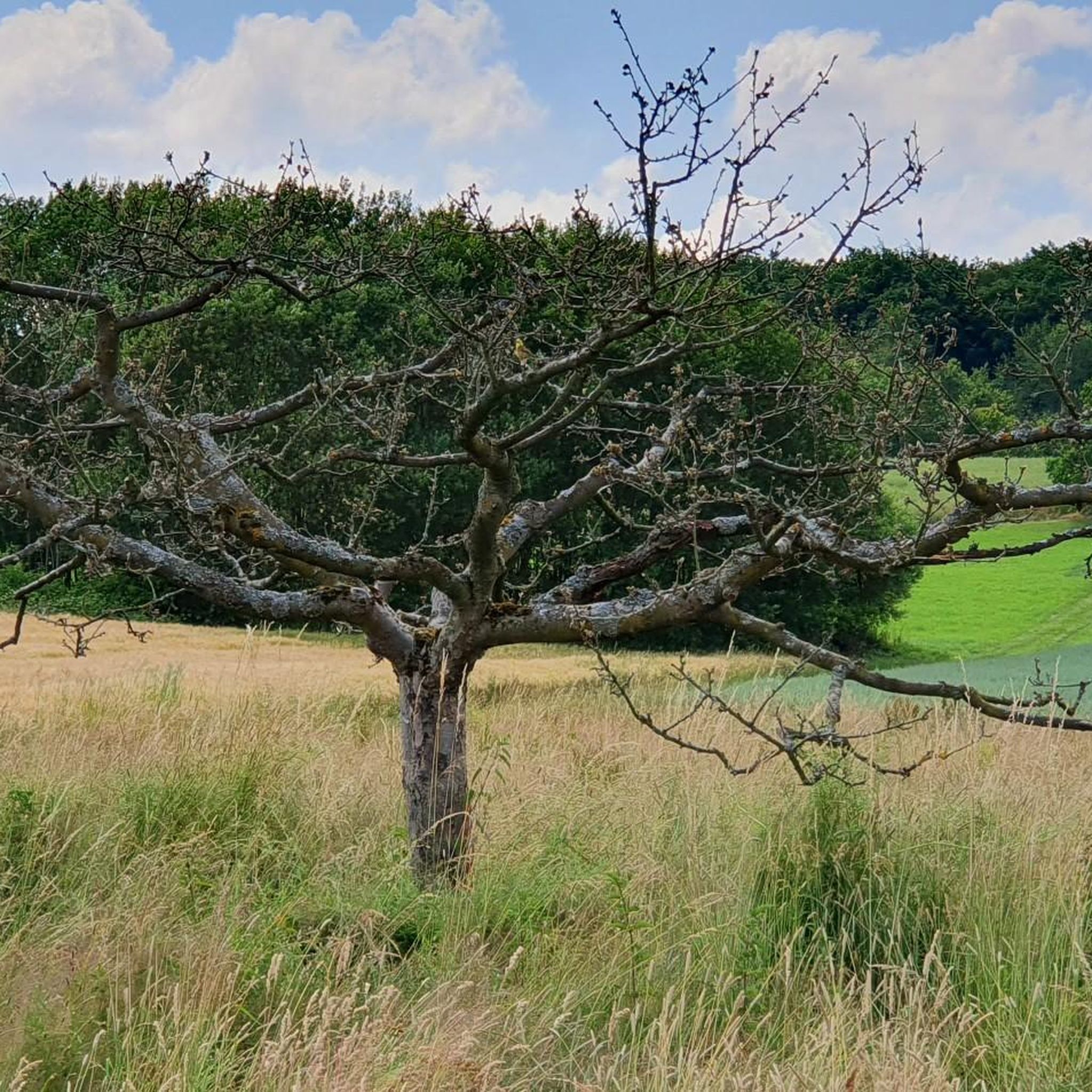
엡스타인 사이클링
엡스타인 주변의 다른 모험


커뮤니티 팁


멋진 트레일입니다! 경사로 인해 일부 크고 작은 돌과 뿌리가 있어 오르막길이 까다롭습니다. 또한 일부 구간이 자갈로 새로 포장된 것 같아 아직 꽤 헐겁습니다. 내리막길은 저에게는 도로보다 훨씬 더 멋진 코스입니다. 하지만 로드바이크는 여기서도 분해될 것입니다.
0
0

The tower at the ringfort stands at the top of a meadow slope northwest of Lorsbach. From there, one has a panoramic view over Lorsbach and the Lorsbach Valley. The tower takes its name from the Alteburg rampart located further up the hilltop. The wooden tower is 8.60 meters high. The viewing platform is at a height of 4.50 meters. The tower and the surrounding area are owned by the Lorsbach Local History Society. It was built according to plans by the late society member Emanuel Winkelmann. The tower was inaugurated on December 18, 2005. The tower at the ringfort is a popular destination for hikers and walkers. It is also easily accessible from Langenhain and Eppstein via hiking trails. The shortest route there leads from Lorsbach along the Alteburgweg trail.
5
0
From the Meisterturm tower, you have a magnificent panoramic view of the entire Rhine-Main region, the Taunus mountains, and the surrounding area. Truly beautiful! 🤩
13
2
This forest, dubbed the northernmost pine forest in Europe (though I'm not an expert, I'd guess it's *Pinus pinea*), was probably a mistake. In the 19th century, the Kapellenberg hill was reforested, and these pines were planted on its barren, rocky southern slope. The city's 1878 accounts mention 11,500 young *Pinus* saplings – without specifying them further. Did *Pinus pinea* sound much more like a pine tree to the buyer than *Pinus sylvestris*? In any case, the Mediterranean plants seem to thrive here, attracting many a surprised glance from passersby.
13
1
The Meisterturm is a 30.8-meter[1] (approximately 37 meters including the antenna) high observation tower in Hofheim am Taunus. It is located at 292 meters above sea level[2] on the wooded Kapellenberg hill northwest of the town. Today, it only rises a few meters above the surrounding trees. However, it offers a complete panoramic view: to the south over the Rhine-Main region, and on a clear day as far as the Odenwald forest; to the north, the Taunus mountain range, including the Großer Feldberg.
12
0
Here you'll find a wooden shelter and a small vineyard. Definitely a nice spot for a break.
18
0


더 살펴보기
다른 지역의 최고의 MTB 트레일를 살펴보세요.
