마인-타우누스-크라이스에서 가장 멋진 18개의 산장 & 오두막집
산장은 야외 활동 하이라이트에 자주 등장하는 아이템이에요. 마인-타우누스-크라이스에서 가장 멋진 오두막집과 통나무집을 아래에서 살펴본 후에 마음에 드는 오두막집/산장을 다음 모험 계획에 추가해보세요.
마지막 업데이트: 8월 21, 2026
호프하임 마이스터투름
하이라이트 • 기념물
Climbing the tower is not for …
번역자 Google •
팁에 의해


이런 장소를 발견하려면 지금 가입하세요
최고의 싱글 트랙, 봉우리 및 다양한 흥미로운 야외 장소에 대한 추천을 받아보세요.
무료 회원 가입
Großer Mannstein 근처의 파빌리온
하이라이트 • 산장
번역자 Google •
팁에 의해

링발 로르스바흐 전망대
하이라이트 • 전망대
번역자 Google •
팁에 의해

에버하르트의 샤우어 야우젠스테이션
하이라이트 • 산장
One of the most quaint and cozy garden bars in the region, in the middle of nature, with good, …
번역자 Google •
팁에 의해

프랑크푸르트 스카이라인 전망
하이라이트 • 전망대
The view here, through the forest clearing, of the Mainhattan skyline is absolutely impressive 🤩
The small …
번역자 Google •
팁에 의해
Eberhards Scheuer 이벤트 장소, 바트 조덴 암 타우누스
하이라이트 • 구조물
번역자 Google •
팁에 의해


크레켈 템펠 대피소
하이라이트 • 산장
번역자 Google •
팁에 의해

무료로 가입하여 마인-타우누스-크라이스의 더 많은 오두막과 캐빈을 발견하세요.
무료 회원 가입
이미 komoot 계정이 있나요?
오늘 무료 계정으로 시작하세요
다음 모험이 기다리고 있어요.
로그인 또는 가입하기
마인-타우누스-크라이스 주변 인기 장소

Delightfully scenic hiking in the Taunus range
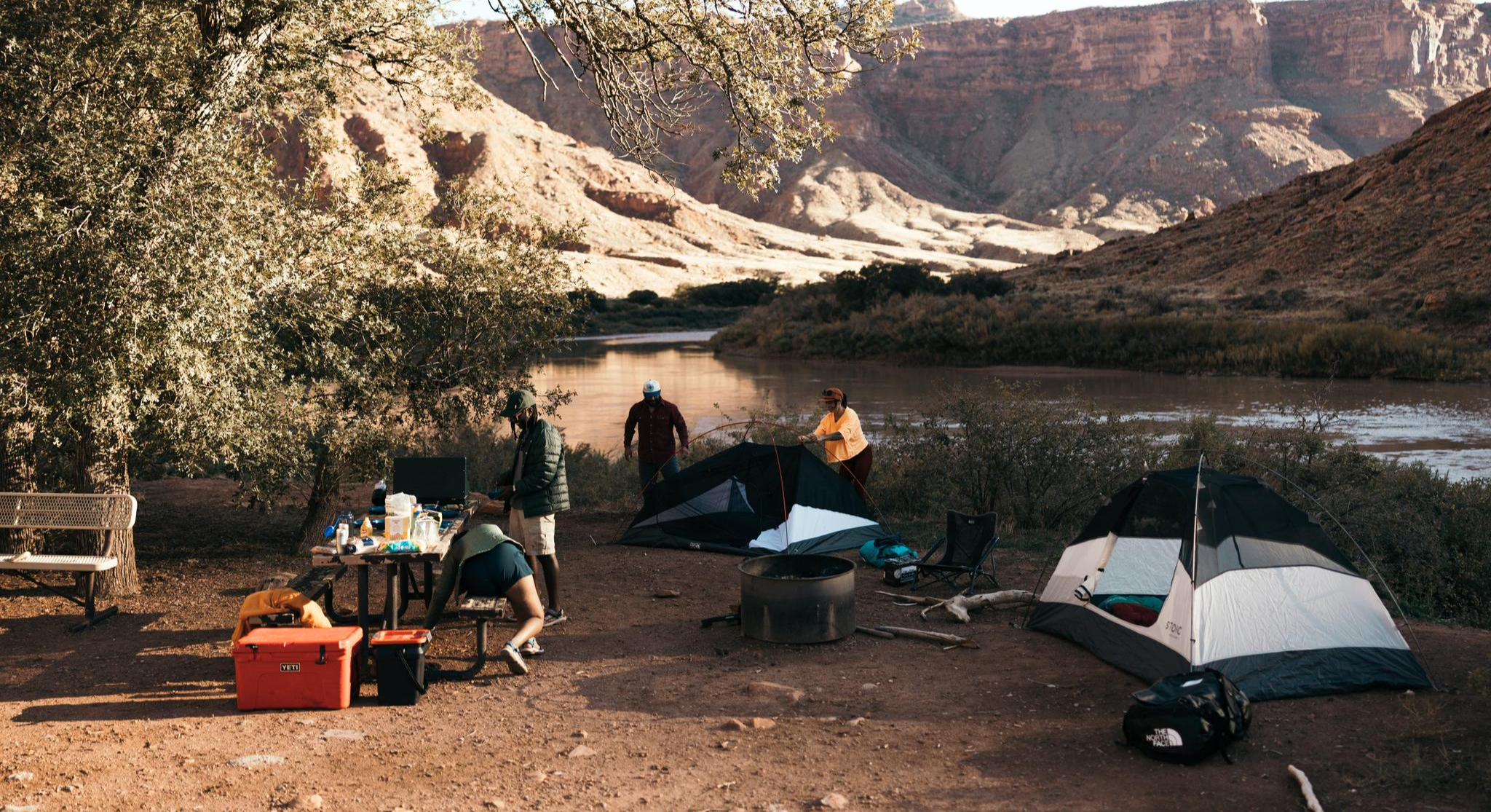
Glamping Adventures on Foot
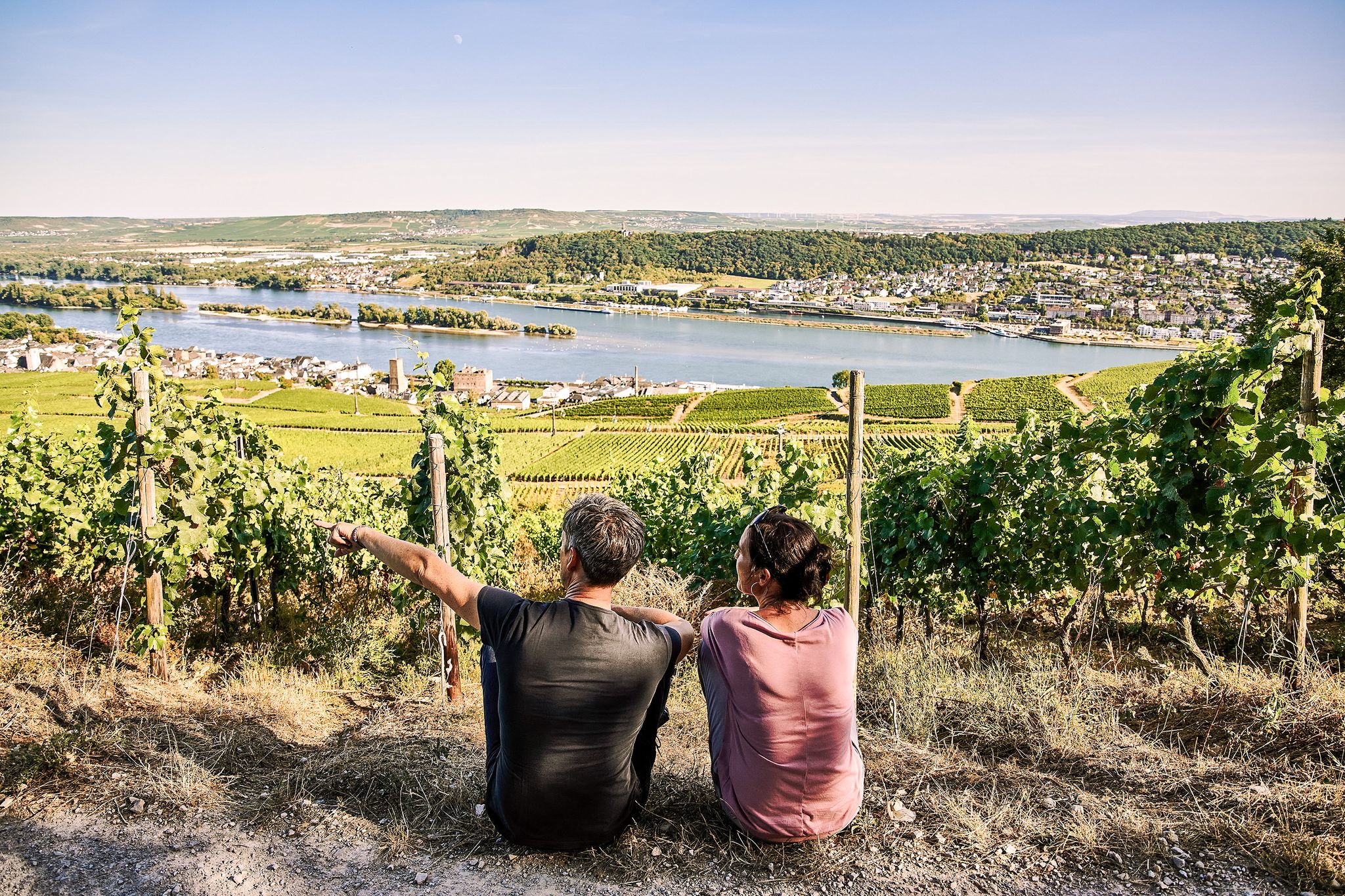
Riesling Loops – 14 routes rich in wine and history

By bike and train into the green - cycling Tours around the EUROBIKE

Orchards, vineyards, taverns – hikes in the RMV area

#GoFurther – discover the views of Germany!
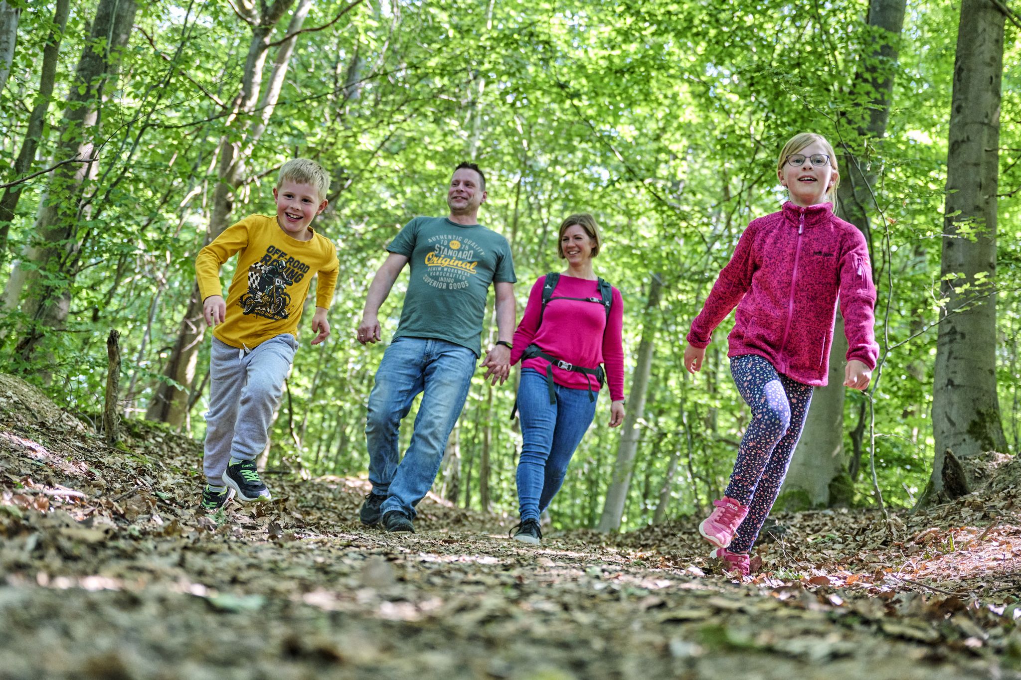
The journey is the adventure – hikes in Germany’s Taunus Mountains

본니파티우스 루트에서 마인츠에서 풀다까지

Onto the train, out into the snow – winter hiking for all ages in the Rhine-Main
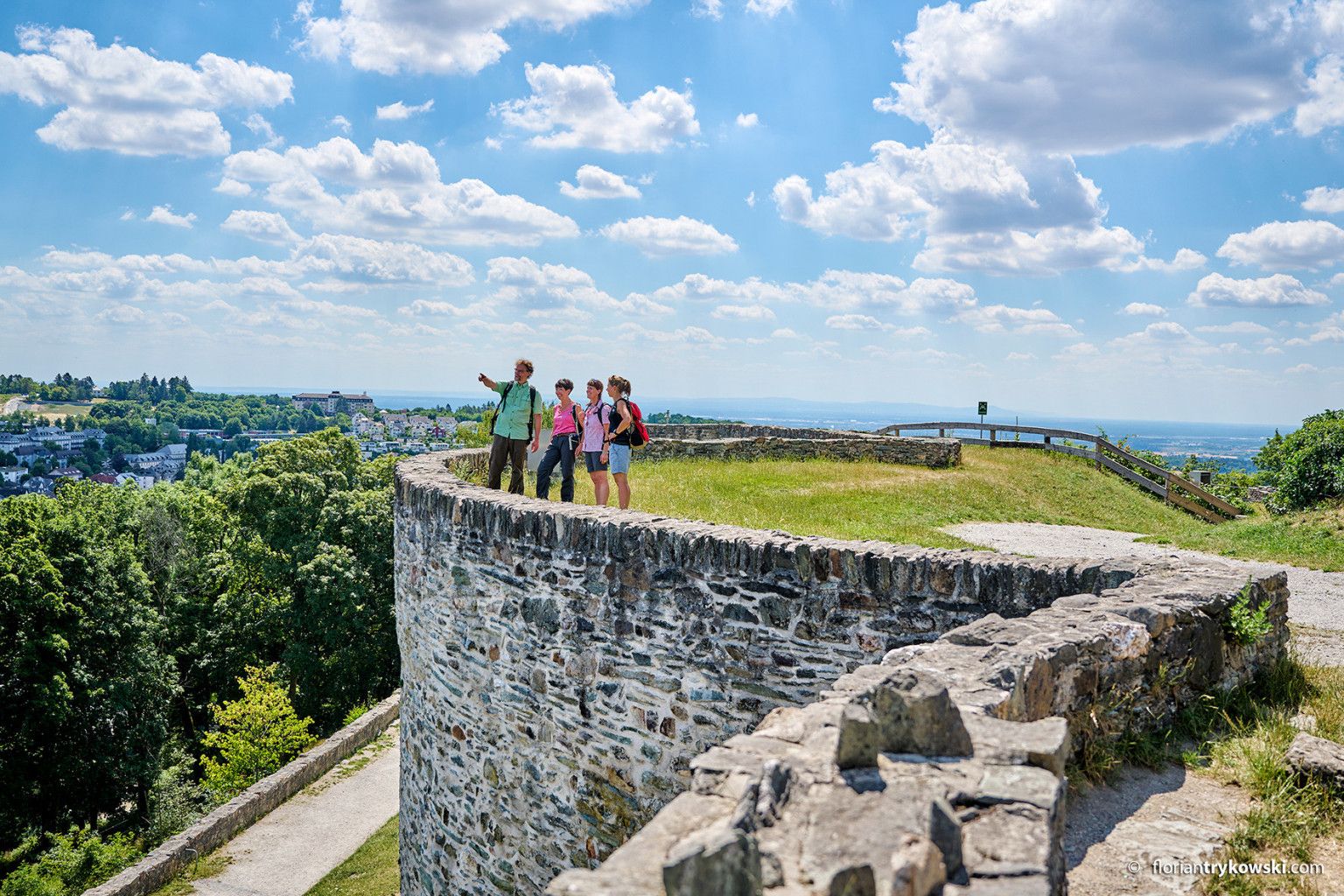
Experience nature and culture — hiking in Germany’s Taunus region
마인-타우누스-크라이스의 다른 모험


커뮤니티 팁

The tower at the ringfort stands at the top of a meadow slope northwest of Lorsbach. From there, one has a panoramic view over Lorsbach and the Lorsbach Valley. The tower takes its name from the Alteburg rampart located further up the hilltop. The wooden tower is 8.60 meters high. The viewing platform is at a height of 4.50 meters. The tower and the surrounding area are owned by the Lorsbach Local History Society. It was built according to plans by the late society member Emanuel Winkelmann. The tower was inaugurated on December 18, 2005. The tower at the ringfort is a popular destination for hikers and walkers. It is also easily accessible from Langenhain and Eppstein via hiking trails. The shortest route there leads from Lorsbach along the Alteburgweg trail.
14
1

Here you can learn a lot about the forest as an important habitat.
1
0
The Meisterturm is a 30.8-meter[1] (approximately 37 meters including the antenna) high observation tower in Hofheim am Taunus. It is located at 292 meters above sea level[2] on the wooded Kapellenberg hill northwest of the town. Today, it only rises a few meters above the surrounding trees. However, it offers a complete panoramic view: to the south over the Rhine-Main region, and on a clear day as far as the Odenwald forest; to the north, the Taunus mountain range, including the Großer Feldberg.
11
0

The highlight is actually called the Concordia Temple. The Men's Choir Temple is a little further east.
1
0

Currently only open on Sundays from 1pm to 8pm
3
0

The pavilion was built in 1902 and commemorated the Eppstein doctor Wilhelm Krekel, who treated destitute Eppstein residents free of charge from 1874 onwards. The view from there was said to have been magnificent until the neighboring educational institution was built in 1970. In 1980 the temple was demolished due to dilapidation and this shelter was built.
2
0
마인-타우누스-크라이스에서 가장 인기 있는 경로
마인-타우누스-크라이스에서 가장 인기 있는 명소


찾고 계신 것을 찾지 못하셨나요?
이 지역별 가이드를 통해 마인-타우누스-크라이스의 더 멋진 오두막을 확인해보세요:
더 살펴보기
이 근처의 최고의 오두막과 캐빈을 확인하여 마인-타우누스-크라이스의 더 아름다운 장소를 찾아보세요:
