스트렘보에서 가장 멋진 7개의 자전거 공원
스트렘보에 있는 멋진 자전거 공원에서 재미있는 추억을 만들어볼까요? 커뮤니티가 공유한 컬렉션을 아래에서 살펴보면서 가장 멋진 자전거 공원 트레일을 찾아보세요. 자전거 공원 지도와 상세 정보를 클릭하면 원하는 자전거 공원을 다음 모험 계획에 간편하게 추가할 수 있어요.
마지막 업데이트: 9월 4, 2026
파소 데이 콘트라반디에리
하이라이트 • 산악 고개
번역자 Google •
팁에 의해

도스 델 사비온 정상
하이라이트 • 정상
번역자 Google •
팁에 의해

이런 장소를 발견하려면 지금 가입하세요
최고의 싱글 트랙, 봉우리 및 다양한 흥미로운 야외 장소에 대한 추천을 받아보세요.
메차나 펌프 트랙
하이라이트 • MTB 공원
번역자 Google •
팁에 의해

Parco Nazionale dello Stelvio의 산악 트레일
하이라이트 (구간) • 트레일
Almost throughout S1-S2
번역자 Google •
팁에 의해

브렌타 바이크 파크의 스풀미니 트레일
하이라이트 • MTB 공원
번역자 Google •
팁에 의해
무료로 가입하여 스트렘보 주변의 더 많은 자전거 공원을 발견하세요.
이미 komoot 계정이 있나요?
오늘 무료 계정으로 시작하세요
다음 모험이 기다리고 있어요.
커뮤니티 팁

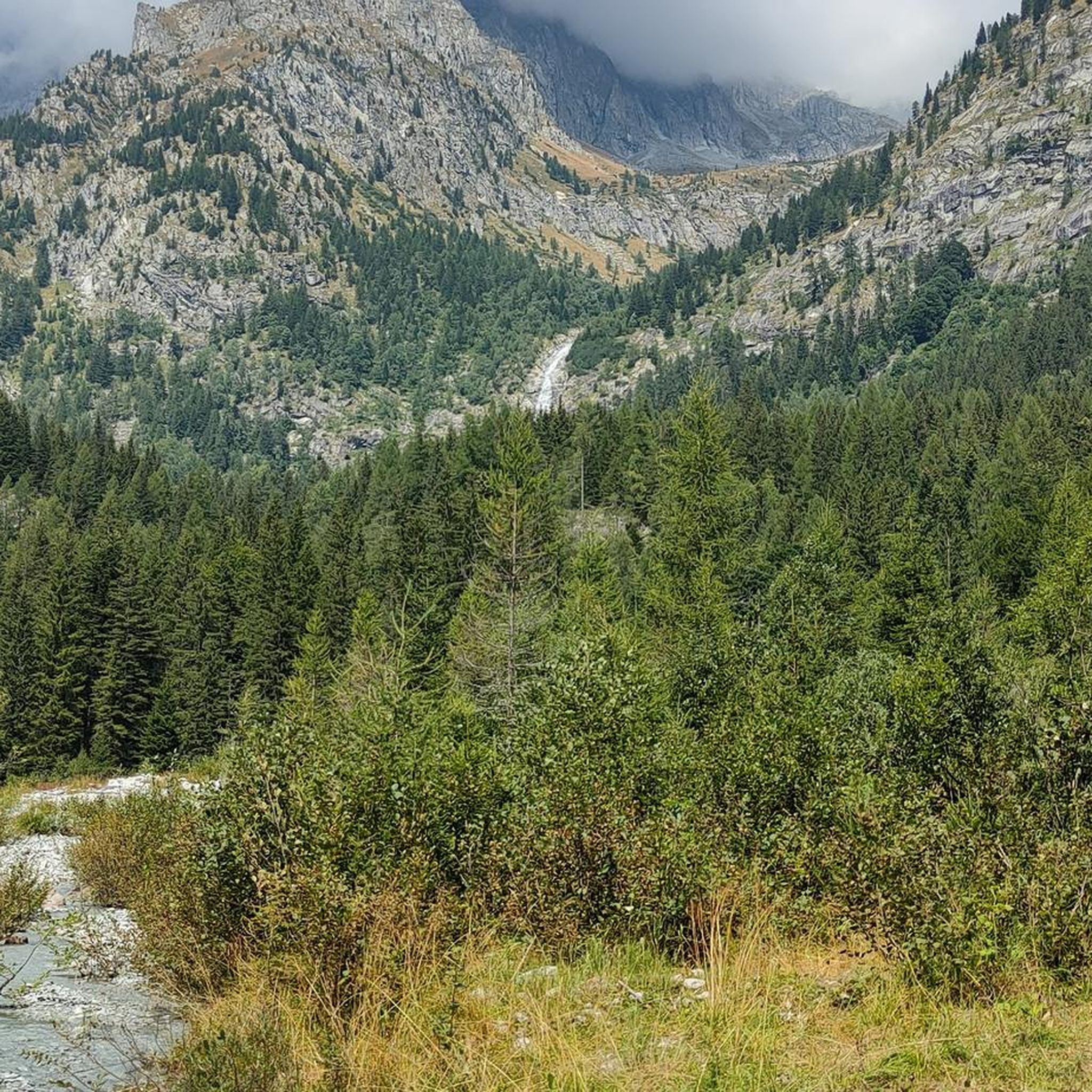
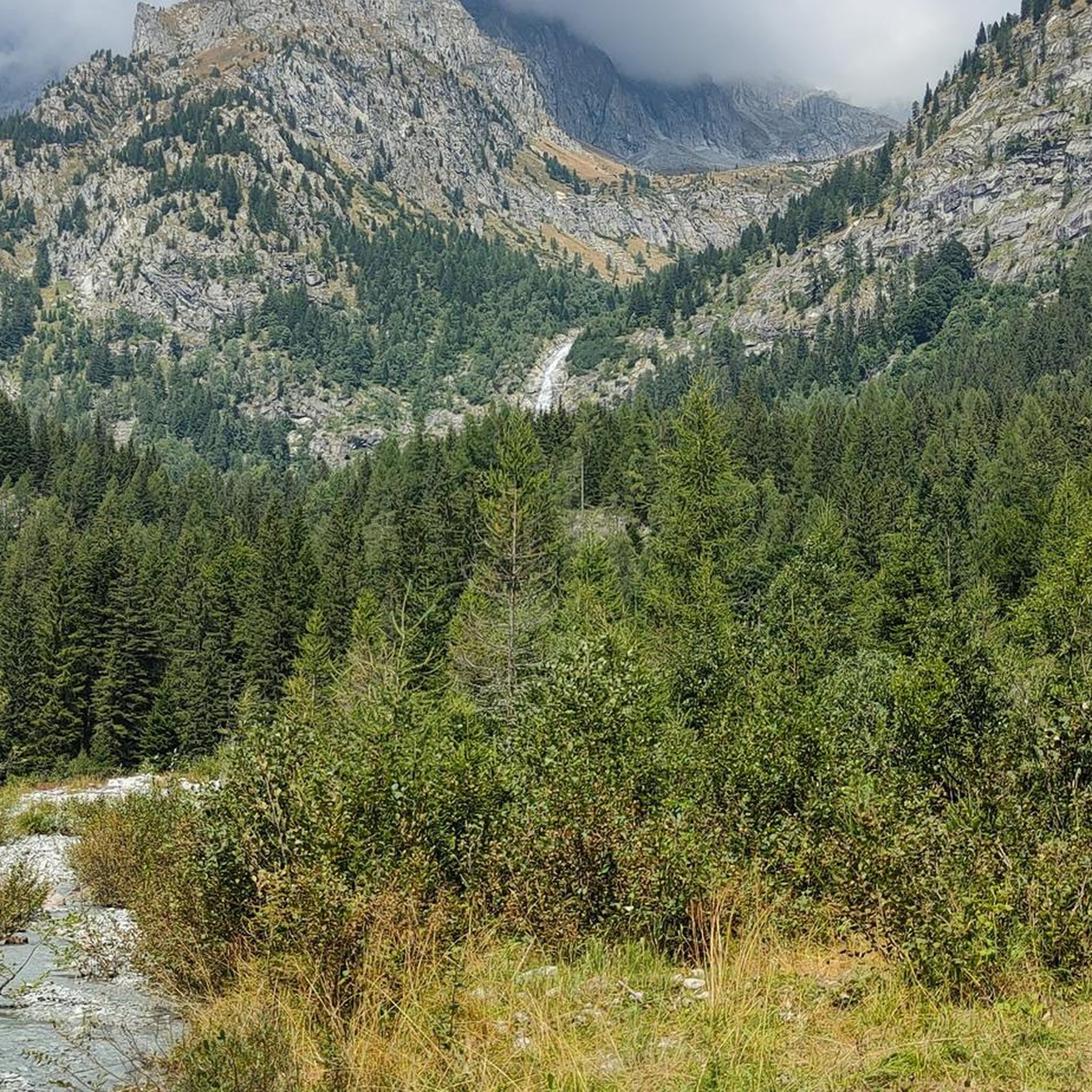
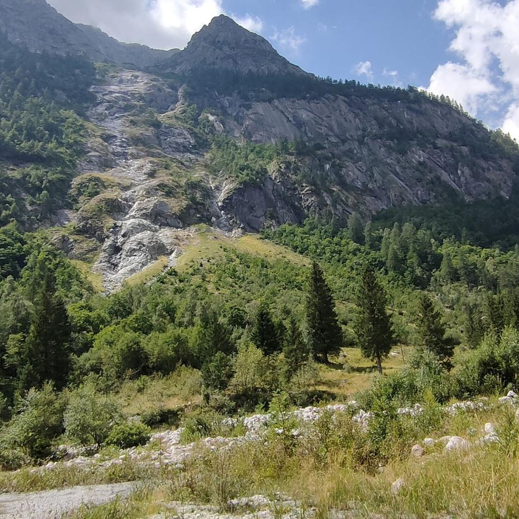
Il Passo dei Contrabbandieri는 해발 2.681미터에 위치한 알프스 고개로, 트렌티노(베르미글리오 코무네)와 롬바르디아(폰테 디 레뇨 코무네)를 연결하며 스텔비오 국립공원의 남쪽 경계에 자리 잡고 있습니다. 이 고개는 북쪽의 오르틀레스-체베달레 산군부터 남쪽의 아다멜로-프레사넬라 산군까지 펼쳐지는 파노라마 전망을 제공하는 여름 트레킹의 멋진 목적지입니다. 출발 지점: 토날레 고개(오스피치오 산 바르톨로메오 지역). 말가 발비올로(2.244m)까지 비포장 도로를 따라 올라갑니다. 여름 시즌에는 리프트를 이용하여 하이킹 거리를 단축할 수 있습니다. 말가에서 CAI 111번 트레일을 따라 가파르고 돌이 많은 마지막 구간을 지나면 고개로 바로 이어집니다. 토날레에서 도보로 오르는 총 순수 고도 상승량은 약 740미터이며, 오르막만 평균 2시간 20분이 소요됩니다. 난이도: 하이킹(E). 기술적인 어려움은 없지만 마지막 경사 때문에 힘든 하이킹입니다. 등산화 착용을 강력히 권장합니다.
1
0

A pass located at 2,681 meters above sea level, on the watershed dividing northern Trentino from Lombardy, so called because during the Austro-Hungarian reign, smugglers passed through it carrying contraband goods. It was the site of trench warfare during the First World War, and today, the imposing ruins of trenches, barracks, and Italian army posts can still be seen on the great ridge that, starting from Cima Cadì, passed over western Monte Tonale, Cima Casaiole, and then from Passo dei Contrabbandieri, ascended first to Albiolino and then to Punta d'Albiolo, opposing the Austro-Hungarians who occupied Torrione d'Albiolo and the entire ridge descending from it, to eastern Monte Tonale and today's "Città morta" (Dead City), with a bold cantilevered engineering feat, still partially visible from the 1960s and 1970s. From the pass you can enjoy interesting views both to the north and to the south.
7
1

Stunning high altitude trail that can be done on a sure-footed mountain bike
2
0

Enjoyed a great afternoon at the Brenta Bike Park in summer 2022. If you want to rent a bike and gear; take the cable car up the mountain where you can rent good quality gear from a friendly local guy.
0
0

Among the most adrenaline-filled downhill slopes in Trentino, the Sfulmini Trail starts from Doss del Sabion and ends in Pra' Rodont. Reachable thanks to a cable car and a chair lift, it features passages on wooden walkways, wallrides and jumps until you immerse yourself in the woods. A super flow downhill track on mixed terrain, perfect for those who already have some experience in downhill riding.
0
0
The arrival point of the chairlift of the same name, the Doss del Sabion is located at an altitude of 2,100 meters and there is a mountain refuge perfect for a break. The beginning of the Brenta Bike Park is located near this peak which dominates the Pinzolo valley.
1
0

The Contrabbandieri pass, at 2,681 meters above sea level, is a place rich in history. This passage was used in the past for smuggling between Italy and the Austrian Trentino, and later became an important military connection during the Great War. Today it is part of the "Path of Peace", a path dedicated to the historical memory of those events. To reach the pass, the path is relatively simple and does not present particular difficulties, although it can be tiring due to the slope, especially if you start from Case di Viso. However, the descent is a lot of fun and you can certainly run.
3
0

Very worthwhile lookout point. The ascent through the ski area in places directly over the slopes is not quite as nice but generally bearable. When we were there at the end of July, the upper chairlift was under maintenance and therefore only a few people on the pass.
2
0


더 살펴보기
완벽한 자전거 공원을 아직 찾고 계신가요? 이 장소의 가이드를 확인해보세요:
