20의 보르델럼가지 명소 & 주요 장소
보르델럼에는 둘러볼 만한 장소가 많답니다. 하이킹 또는 사이클링을 좋아한다면 보르델럼에 숨겨진 20
가지 보석을 만날 수 있을 거예요. 이 지역의 주요 명소를 살펴보면서 다음 모험을 계획해보세요.
마지막 업데이트: 10월 9, 2026
햄버거 할리히로 가는 염습지 길
하이라이트 (구간) • 트레일
번역자 Google •
팁에 의해

뤼트무어지엘 방조제와 벨트링하르더 코오크 전망
하이라이트 • 전망대
번역자 Google •
팁에 의해

이런 장소를 발견하려면 지금 가입하세요
최고의 싱글 트랙, 봉우리 및 다양한 흥미로운 야외 장소에 대한 추천을 받아보세요.
노르드스트란디슈무어로 가는 로렌반 제방
하이라이트 • 구조물
번역자 Google •
팁에 의해


샤프스베르크(함부르거 할리크)에 위치한 NABU 안내 오두막
하이라이트 • 휴식 공간
번역자 Google •
팁에 의해

무료로 가입하여 보르델럼 주변의 더 많은 명소를 발견하세요.
이미 komoot 계정이 있나요?
오늘 무료 계정으로 시작하세요
다음 모험이 기다리고 있어요.

커뮤니티 팁

여기서는 새를 아주 많이 관찰할 수 있습니다. 철새 도래 시기뿐만 아니라요. 특히 따오기와 독수리도 볼 수 있습니다!
0
0

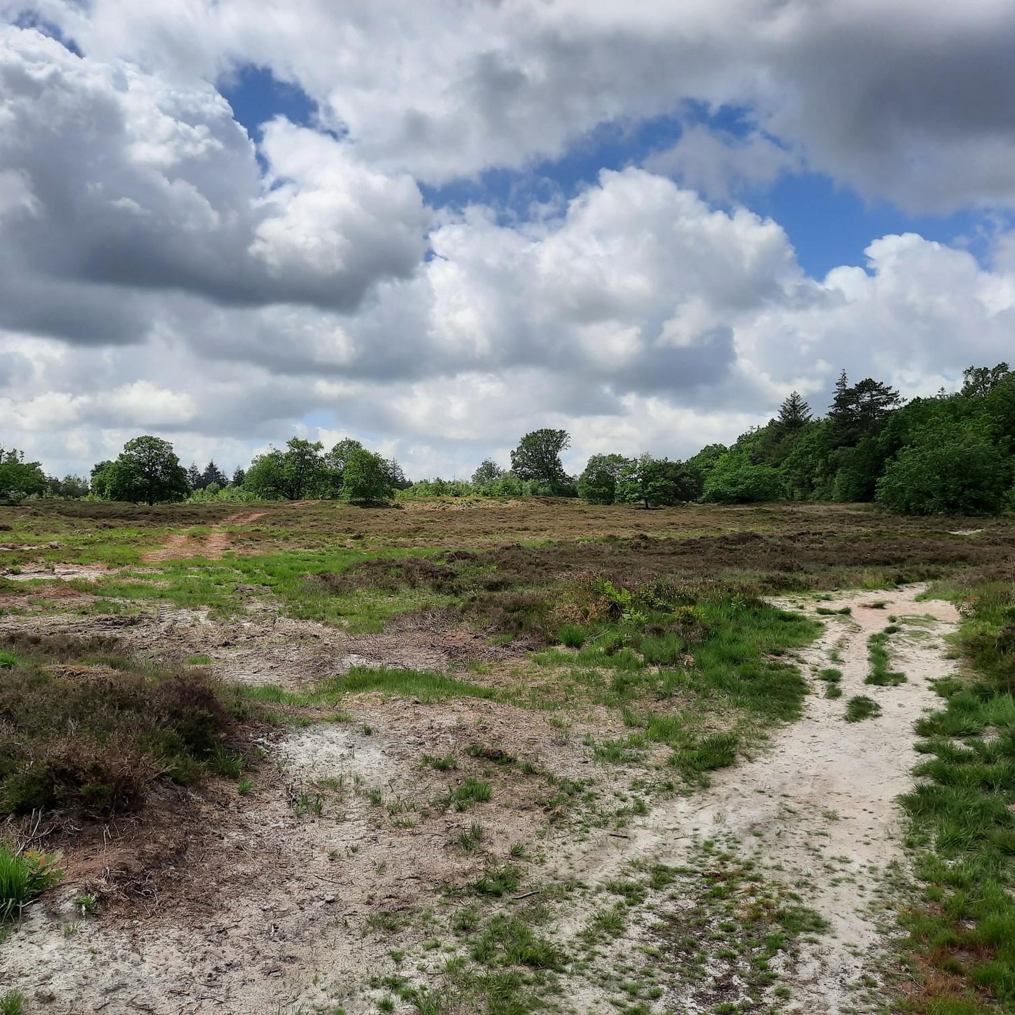
The Beltringharder Koog is an impressive nature reserve in North Friesland, Schleswig-Holstein. The Koog was embanked in 1987 and covers an area of 3,350 hectares, making it the largest nature reserve on the Schleswig-Holstein mainland. It was created in response to storm surges and today serves to protect the coast and promote biodiversity in the region. The Beltringharder Koog has a variety of habitats, including saltwater and freshwater lagoons, wet grassland and tidal floodplains. These diverse biotopes provide habitat for numerous species of birds that breed or rest here. Over 100,000 waders and water birds use the Koog throughout the year, making it a paradise for birdwatchers. Commonly seen species include greylag geese and black-necked grebes. For visitors, there are well-developed hiking and cycling trails that lead through the diverse landscape of the Koog. Tours that start at Lüttmoorsiel and lead along the dike to Lüttmoorsee and further are particularly recommended. Observation huts and viewing platforms on these routes offer excellent opportunities to observe wildlife in its natural environment. The Koog is also an example of successful cooperation between nature conservation organizations such as NABU, the Wadden Sea Conservation Station and the WWF. Together they ensure that this unique ecosystem is protected and cared for.
1
0

Impressive Nabu protected area, about which further information is available at the information point on the Schafsberg
3
0

Beltringharder Koog is the name of the embankment of part of the Schleswig-Holstein Wadden Sea in the area of Nordstrand Bay, which was completed in 1987. This measure effectively connected the former island of Nordstrand to the mainland and thus made it part of a peninsula. Wikipedia
3
0
Lüttmoorsiel, kilometer-long sea dike Halligbahn, Lüttmoorsiel–Nordstrandischmoor Lüttmoorsiel–Nordstrandischmoor, also called Lorenbahn, is a Halligbahn opened in 1934 with a track width of 600 mm through the North Frisian Wadden Sea from Beltringharder Koog to the Hallig Nordstrandischmoor. https://de.m.wikipedia.org/wiki/Halligbahn_L%C3%BCttmoorsiel%E2%80%93Nordstrandischmoor
7
0
Great to drive. 10,000 hectares of salt marshes, a unique habitat 👍🍀
3
0

The translation takes about 15 minutes, which is only possible for overnight guests.
5
1

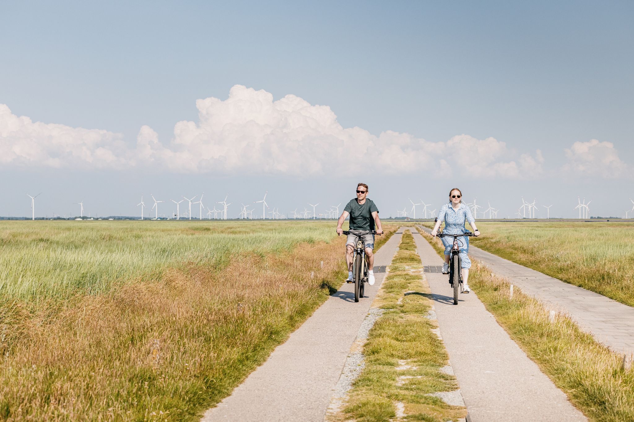
From this dike, you reach infinite horizons. You have views of the sea, but also of the halligens and the Beltringharder Koog. As you evolve near mudflats, many sea wading birds better known as wading birds are visible. Oystercatchers, curlews, sandpipers, sandpipers. All these birds find their pantries in the mud. You also see many sheep. The salty grass they eat makes their meats tastier.
5
2
보르델럼 주변에서 가장 인기 있는 명소


더 살펴보기
찾고 있는 하이라이트를 아직 못 찾으셨나요? 다른 지역의 주요 명소 가이드를 확인해보세요:
