20의 쇠네뷜가지 명소 & 주요 장소
쇠네뷜에는 둘러볼 만한 장소가 많답니다. 하이킹 또는 사이클링을 좋아한다면 쇠네뷜에 숨겨진 20
가지 보석을 만날 수 있을 거예요. 이 지역의 주요 명소를 살펴보면서 다음 모험을 계획해보세요.
마지막 업데이트: 9월 26, 2026
햄버거 할리히로 가는 염습지 길
하이라이트 (구간) • 트레일
번역자 Google •
팁에 의해

샤프스베르크(함부르거 할리크)에 위치한 NABU 안내 오두막
하이라이트 • 휴식 공간
번역자 Google •
팁에 의해

이런 장소를 발견하려면 지금 가입하세요
최고의 싱글 트랙, 봉우리 및 다양한 흥미로운 야외 장소에 대한 추천을 받아보세요.
아를라우 수문 양수장 및 자연사 박물관
하이라이트 • 기념물
번역자 Google •
팁에 의해

Cecilienkoog 전망대
하이라이트 • 전망대
번역자 Google •
팁에 의해

암신크-하우스 방문자 및 안내 센터
하이라이트 • 휴식 공간
번역자 Google •
팁에 의해
무료로 가입하여 쇠네뷜 주변의 더 많은 명소를 발견하세요.
이미 komoot 계정이 있나요?
오늘 무료 계정으로 시작하세요
다음 모험이 기다리고 있어요.
커뮤니티 팁

Quite a wide river!
0
0

Nearby, about 350 meters off the route, past the lock, it's worth taking a short break. The Deichhotel Arlau has a small café with a great viewing terrace.
0
0

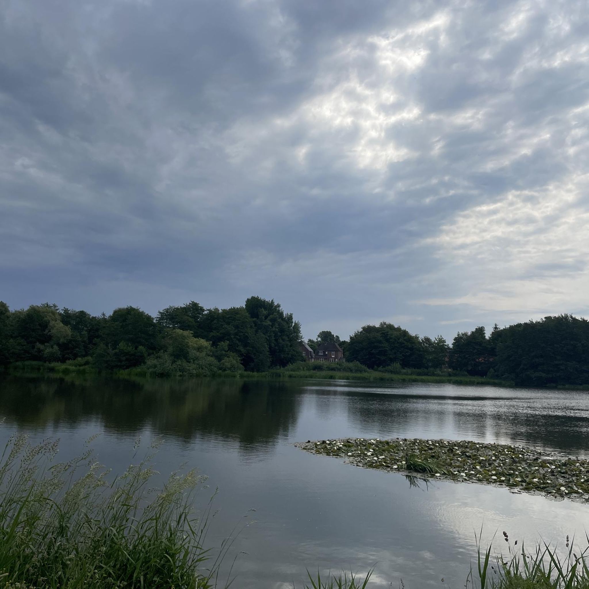
The Arlauschleuse pumping station was built in 1924 to drain water from the marshlands of the Hattstedtermarsch at the mouth of the Arlau River into Nordstrand Bay.
0
0

Bike rental, important information and last but not least a toilet a really great place to go
0
0

The Amsinck House is located directly at the dyke crossing to the Hamburger Hallig and is an important information center in the Schleswig-Holstein Wadden Sea National Park. The house offers an exciting exhibition that deals with the history, nature and culture of central North Frisia. Visitors can learn interesting facts about the life and economy of people in the past and today. The exhibition is multimedia and is accompanied by radio plays by six typical representatives of North Frisia. A special focus of the Amsinck House is on the nature of the Wadden Sea and the salt marshes. There is a lot of information about the flora and fauna as well as the dyke construction and the importance of renewable energies in the region. In addition, guided tours to the Hamburger Hallig, mudflat hikes and cycling and horseback riding tours are offered. The Amsinck House is also an ideal starting point for walks and bike tours through the unique landscape of North Frisia. Visitors can rent bicycles and explore the area on their own. There is a parking space directly at the house for travelers with mobile homes.
0
0

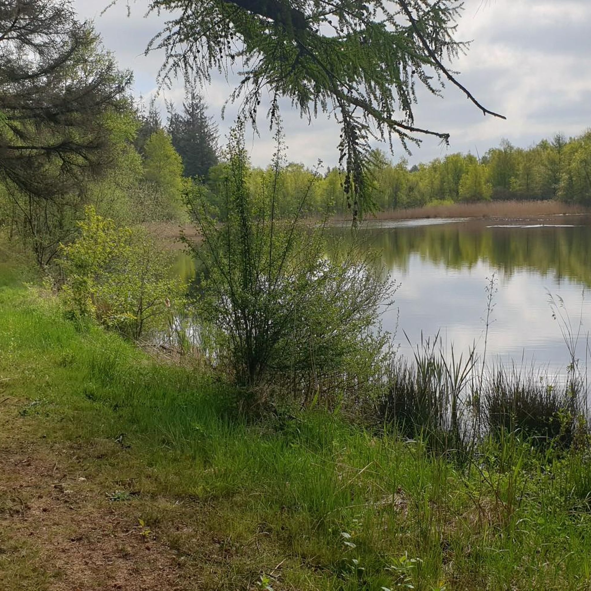
Impressive Nabu protected area, about which further information is available at the information point on the Schafsberg
3
0
Not only great information about the North Frisian holiday region, but also the starting point for a hike to the Hamburger Hallig with parking facilities, or you can rent a bike for €2, which is only offered for this tour. In any case, don't just drive past, but definitely take the really worthwhile detour to the Hallig (approx. 6 km there and back).
1
0

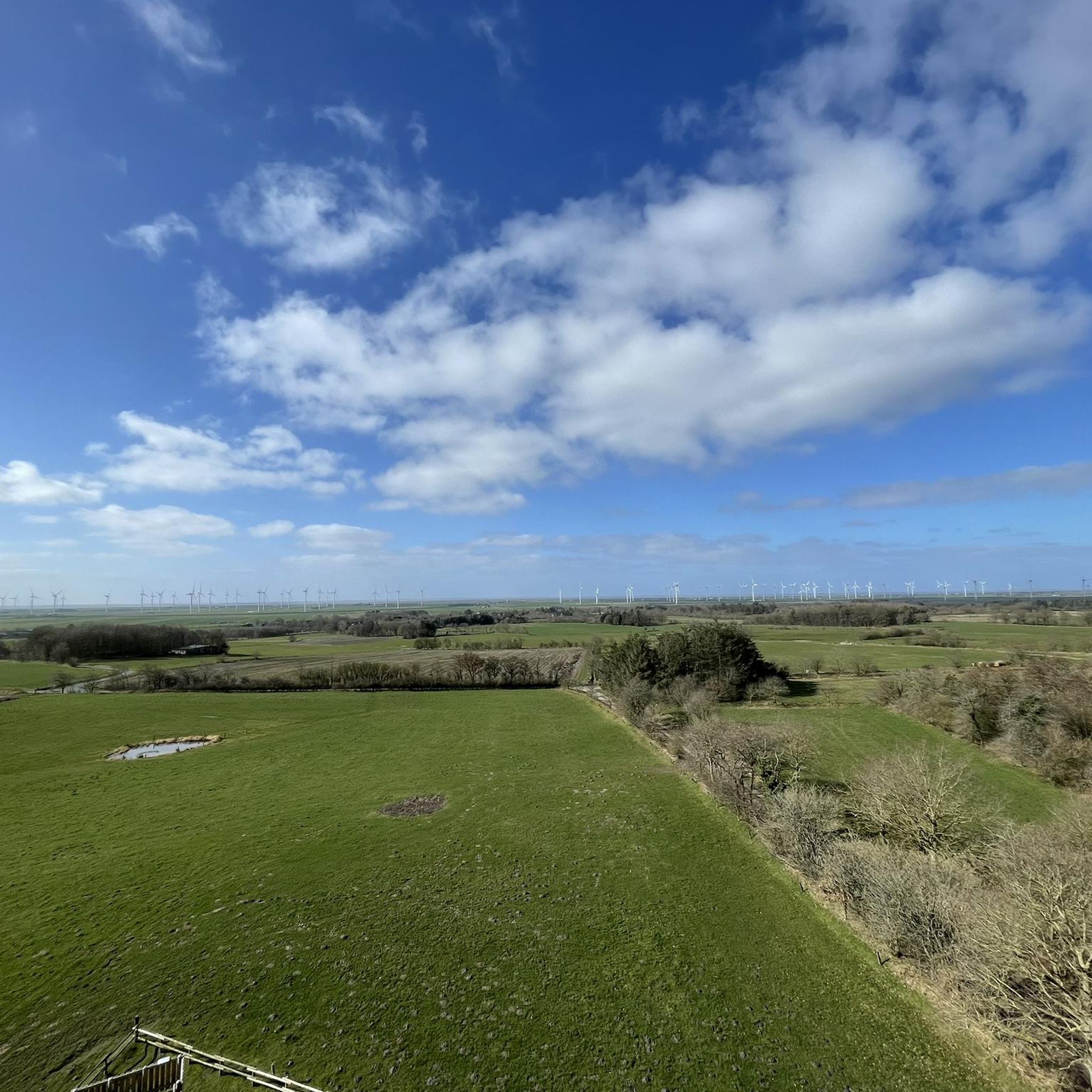
Beautiful location for observing flora, fauna and bird life on the North Sea Great view of the Beltringharder Koog and a good opportunity to take a break.
3
0
쇠네뷜 주변에서 가장 인기 있는 명소


더 살펴보기
찾고 있는 하이라이트를 아직 못 찾으셨나요? 다른 지역의 주요 명소 가이드를 확인해보세요:
