20의 엔혼가지 명소 & 주요 장소
엔혼에는 둘러볼 만한 장소가 많답니다. 하이킹 또는 사이클링을 좋아한다면 엔혼에 숨겨진 20
가지 보석을 만날 수 있을 거예요. 이 지역의 주요 명소를 살펴보면서 다음 모험을 계획해보세요.
마지막 업데이트: 8월 30, 2026
햄버거 할리히로 가는 염습지 길
하이라이트 (구간) • 트레일
번역자 Google •
팁에 의해

샤프스베르크(함부르거 할리크)에 위치한 NABU 안내 오두막
하이라이트 • 휴식 공간
번역자 Google •
팁에 의해

이런 장소를 발견하려면 지금 가입하세요
최고의 싱글 트랙, 봉우리 및 다양한 흥미로운 야외 장소에 대한 추천을 받아보세요.
하우케-하이엔-코그 제방 자전거길
하이라이트 • 자전거 도로
번역자 Google •
팁에 의해


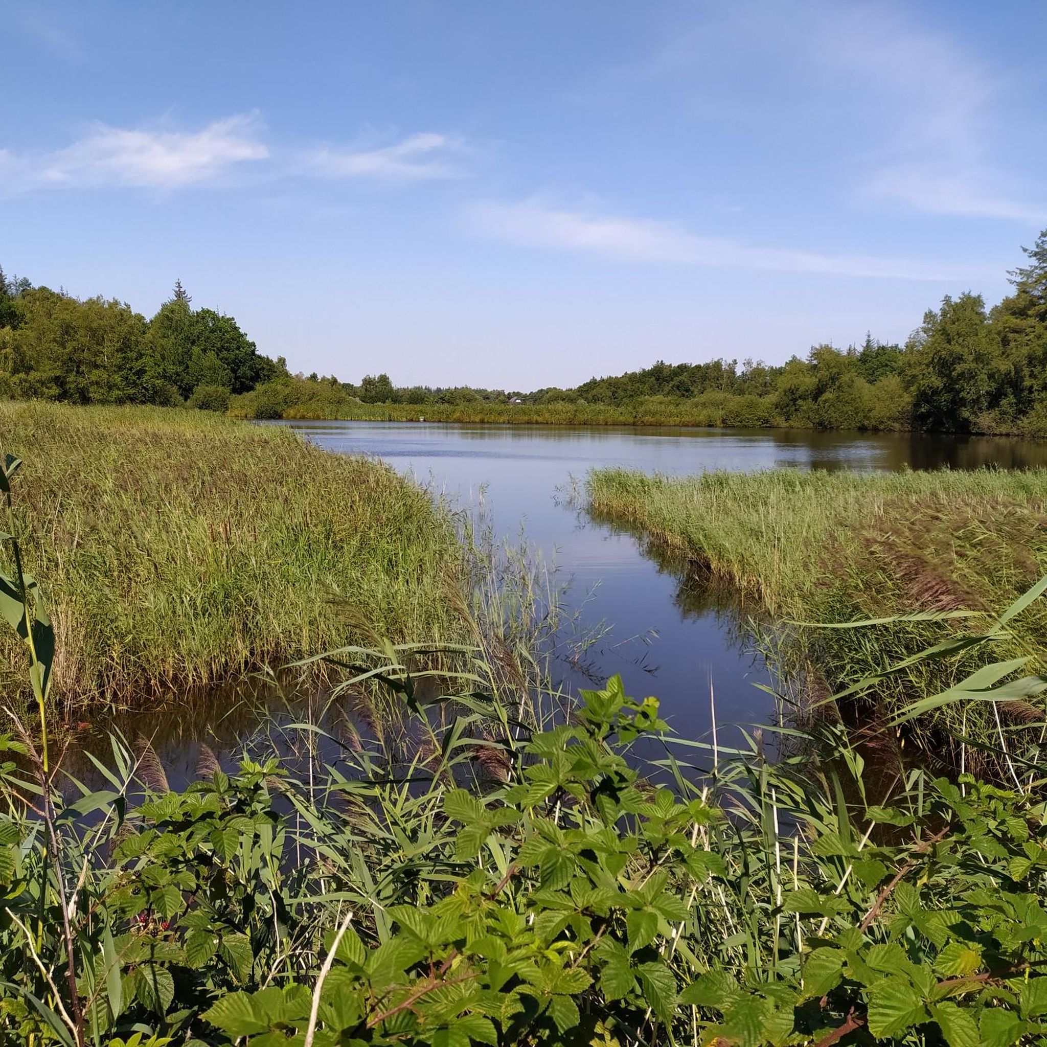
벨트링하르더 쿡의 염습지
하이라이트 • 자연
번역자 Google •
팁에 의해

무료로 가입하여 엔혼 주변의 더 많은 명소를 발견하세요.
이미 komoot 계정이 있나요?
오늘 무료 계정으로 시작하세요
다음 모험이 기다리고 있어요.


커뮤니티 팁

Don't forget your binoculars for bird watching
0
0

The loop around the Beltringharder Koog and over Nordstrand is also beautiful. Then perhaps over the car dam to Schobüll. Schobüll and Halebüll are located on a tongue of the Geest and therefore have no dyke. To the northwest of Schobüll there is a reed biotope, which is particularly scenic due to the fresh water that flows out. The old dyke of the Hattstedtermarsch from Lüttmoorsiel via Arlauschleuse and to Wobbenbüll has been patched up frequently due to many breaks. This makes it very winding, and inland there are often dikes, bodies of water that were created by the excavation for the repairs. The Arlau, which drains the area as far as the Geest, is also very impressive. The water can only flow to the side because of the clay bed below the ground, which makes the sea level important, and must not be allowed to rise too high.
1
0

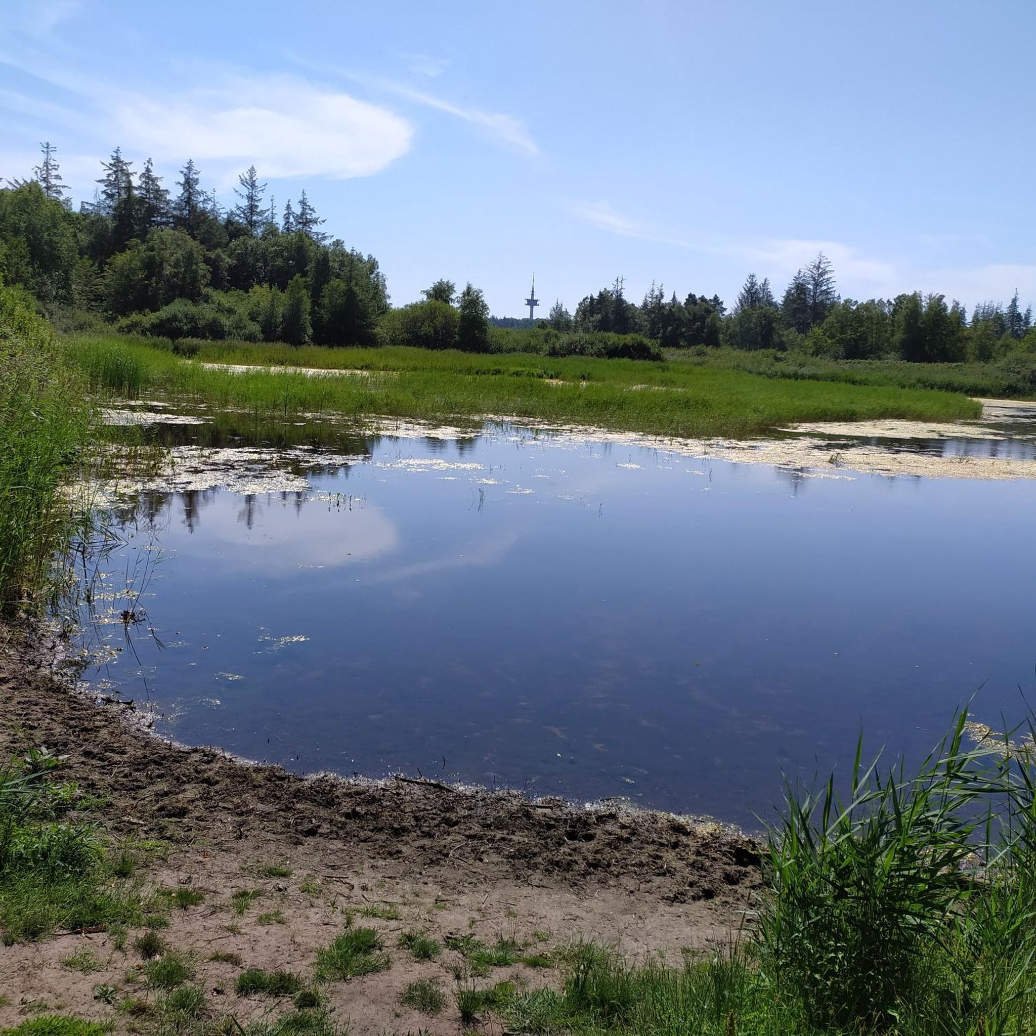
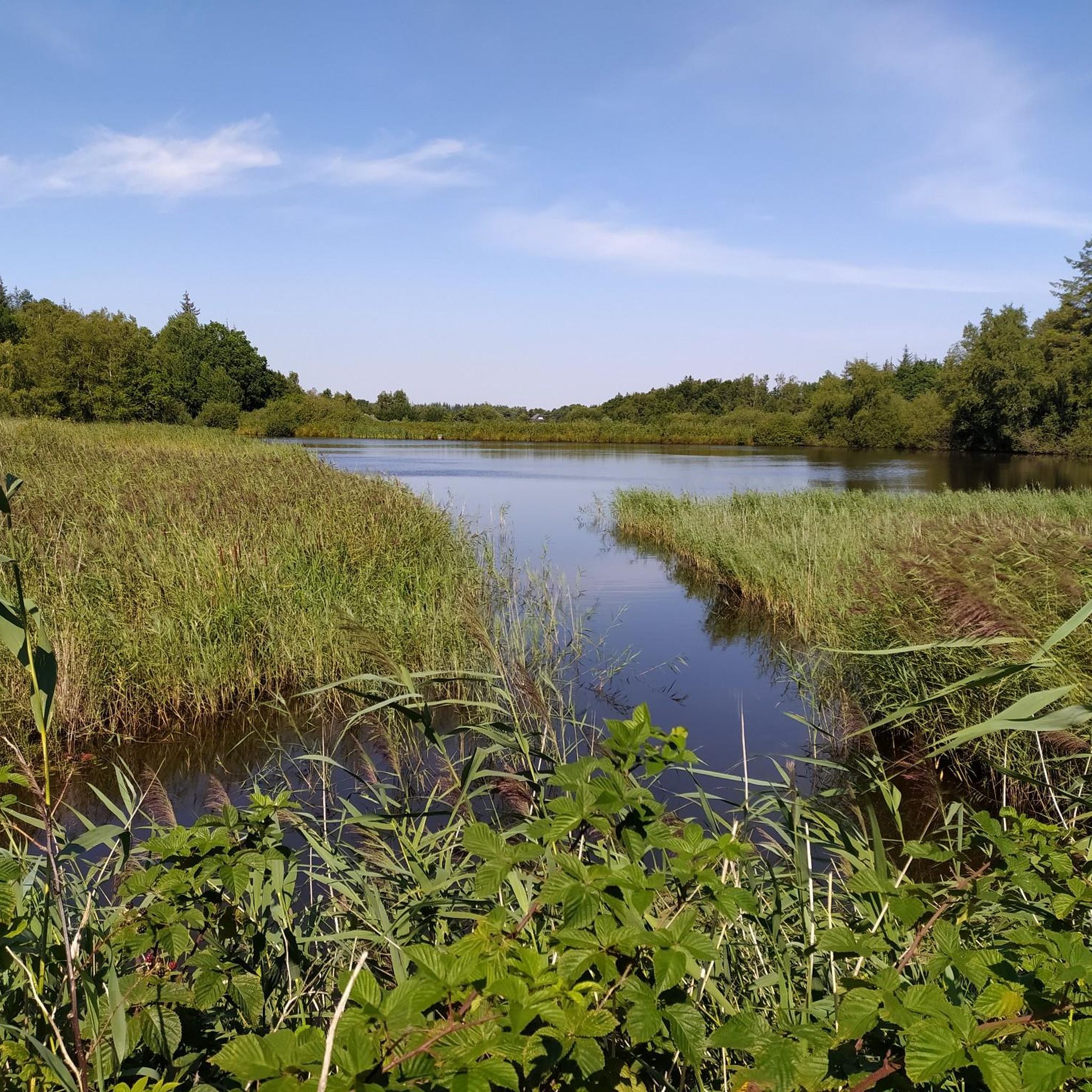
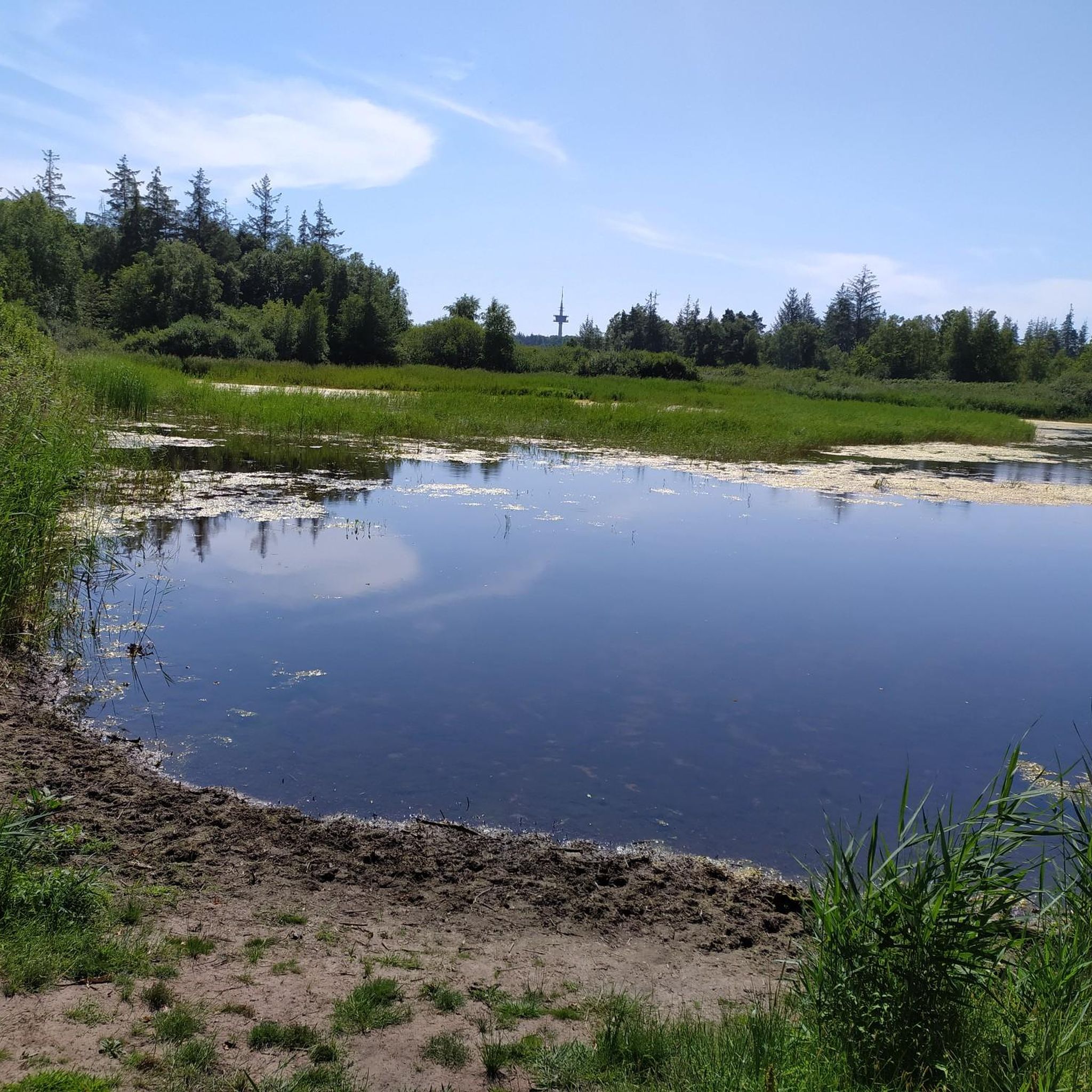
The salt marshes in the Beltringharder Koog are an important nature reserve in Schleswig-Holstein. The Koog, embanked in 1987, covers an area of around 3,350 hectares and is the largest nature reserve on the Schleswig-Holstein mainland. Originally part of the Wadden Sea, the Koog was embanked to reclaim land and provide coastal protection. The entire area has been a nature reserve since 1991, with a particular focus on preserving and promoting the native flora and fauna. The salt marshes in the Beltringharder Koog offer a unique habitat for numerous species of birds and other animals. These zones are particularly important for breeding birds such as bitterns, rails and reed warblers. Rare species such as whinchats, bluethroats and bearded tits also find ideal conditions here. The salt marshes are formed by sediment deposits that are washed into the mudflats by the tides. Over time, plants such as glasswort and sea lavender grow, which characterize the salt marshes. For visitors, the Beltringharder Koog offers numerous hiking and cycling trails that lead through the varied landscape. There are observation huts along the Lüttmoor dam from which you can observe the wildlife. The Koog is also a popular destination for bird watchers, especially during the migration periods in spring and autumn. The Beltringharder Koog is therefore not only an important place for nature conservation, but also an attractive destination for nature lovers and those seeking relaxation who want to experience the diverse landscape and rich wildlife of the Wadden Sea.
1
0
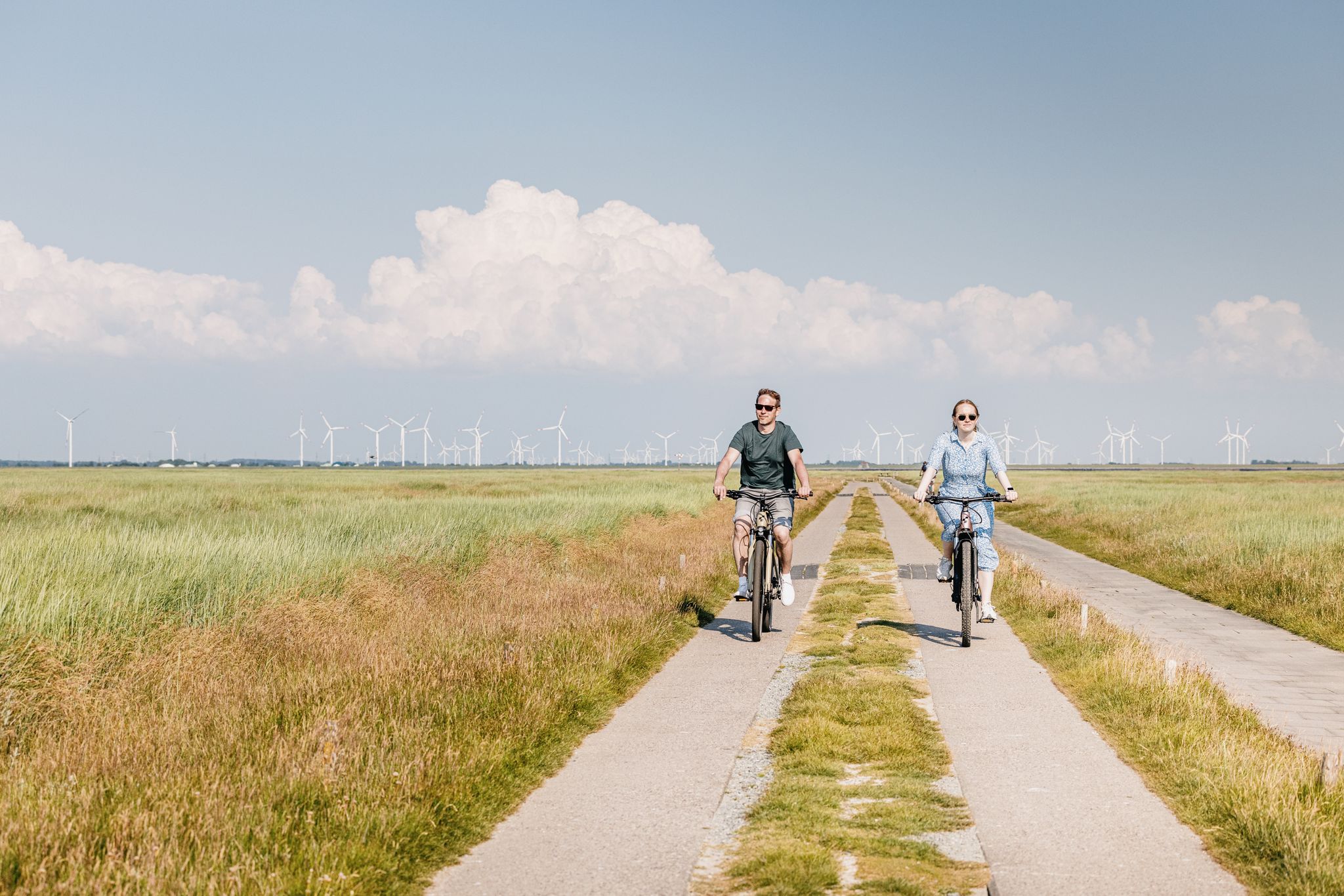
The Hauke-Haien-Koog is an impressive bird sanctuary and a popular destination for cyclists and nature lovers in North Friesland. The Koog was dammed between 1958 and 1960 and is named after the main character in Theodor Storm's novella "The Rider on the White Horse". With an area of 1,250 hectares, of which around 700 hectares are for agricultural purposes and 538 hectares are freshwater reservoirs, the Koog is not only used for agriculture, but above all for bird and nature conservation. The cycle path along the dyke of the Hauke-Haien-Koog offers breathtaking views of the surrounding salt marshes and the diverse bird life. Especially during the migration periods in spring and autumn, the area is an important resting and moulting place for thousands of birds, including geese, ducks, avocets and terns. Rare species such as the bittern and the reed warbler can also be observed here. The cycle path is ideal for bird watching and offers numerous information boards and observation huts along the route. These are accessible all year round and offer insights into the flora and fauna of the protected area. In addition, the Jordsand Association, which looks after the area, offers regular guided tours and events.
1
0

Impressive Nabu protected area, about which further information is available at the information point on the Schafsberg
3
0
It is simply fantastic to ride this route, a well-developed "bicycle highway".
1
0

Birds can be observed here
2
0
엔혼 주변에서 가장 인기 있는 명소


더 살펴보기
찾고 있는 하이라이트를 아직 못 찾으셨나요? 다른 지역의 주요 명소 가이드를 확인해보세요:
