샬켄메레너 마르 최고의 MTB 라이딩 경로
4.5
(2018)
7,150
자전거 타는 사람
438
라이딩
산악자전거를 타고 샬켄메레너 마르(Schalkenmehrener Maar) 주변을 달리면 독일 폴카나이펠(Vulkaneifel) 지역의 독특한 화산 지형을 탐험하는 코스를 즐길 수 있습니다. 이 지역은 언덕, 계곡, 다양한 숲으로 둘러싸인 화산 호수를 특징으로 합니다. 라이더들은 마르 주변의 잘 관리된 자전거 도로와 더 넓은 폴카나이펠 지역을 통과하는 기술적으로 도전적인 트레일을 포함한 다양한 지형을 만나게 됩니다. 이 지역은 마르와 고대 화산 지형을 연결하며 산악자전거를 타기에 역동적인 배경을 제공합니다.
샬켄메레너 마르 주변 최고의 산악자전거 트레일
- 가장 인기 있는 산악자전거 트레일은 샬켄메렌(Schalkenmehren)에서 출발하는 42.1km 길이의 드론케 타워(Dronke Tower)와 뫼제베르크(Mäuseberg)…
마지막 업데이트: 8월 23, 2026
4.8
(25)
87
자전거 타는 사람
62.0km
06:06
1,440m
1,440m
어려운 산악 자전거 타기. 우수한 체력 필요. 뛰어난 라이딩 실력이 필요함. 투어 중 자전거를 끌고 가야 하는 구간이 있을 수 있음.
4.7
(27)
100
자전거 타는 사람
42.3km
03:48
840m
840m
보통 산악 자전거 타기. 좋은 체력 필요. 뛰어난 라이딩 실력이 필요함.

무료 회원 가입
4.7
(12)
32
자전거 타는 사람
34.3km
02:52
670m
670m
보통 산악 자전거 타기. 좋은 체력 필요. 뛰어난 라이딩 실력이 필요함.
4.1
(9)
28
자전거 타는 사람
41.2km
03:19
590m
590m
보통 산악 자전거 타기. 좋은 체력 필요. 뛰어난 라이딩 실력이 필요함.
5.0
(3)
4
자전거 타는 사람
64.0km
05:25
1,110m
1,110m
어려운 산악 자전거 타기. 우수한 체력 필요. 뛰어난 라이딩 실력이 필요함.
더 다양한 경로와 다른 탐험가들의 추천을 살펴보세요.
무료 회원 가입
이미 komoot 계정이 있나요?
투어 추천은 다른 사람들이 komoot에서 완료한 수천 개의 활동을 바탕으로 구성되어 있습니다.
오늘 무료 계정으로 시작하세요
다음 모험이 기다리고 있어요.
로그인 또는 가입하기
커뮤니티 팁


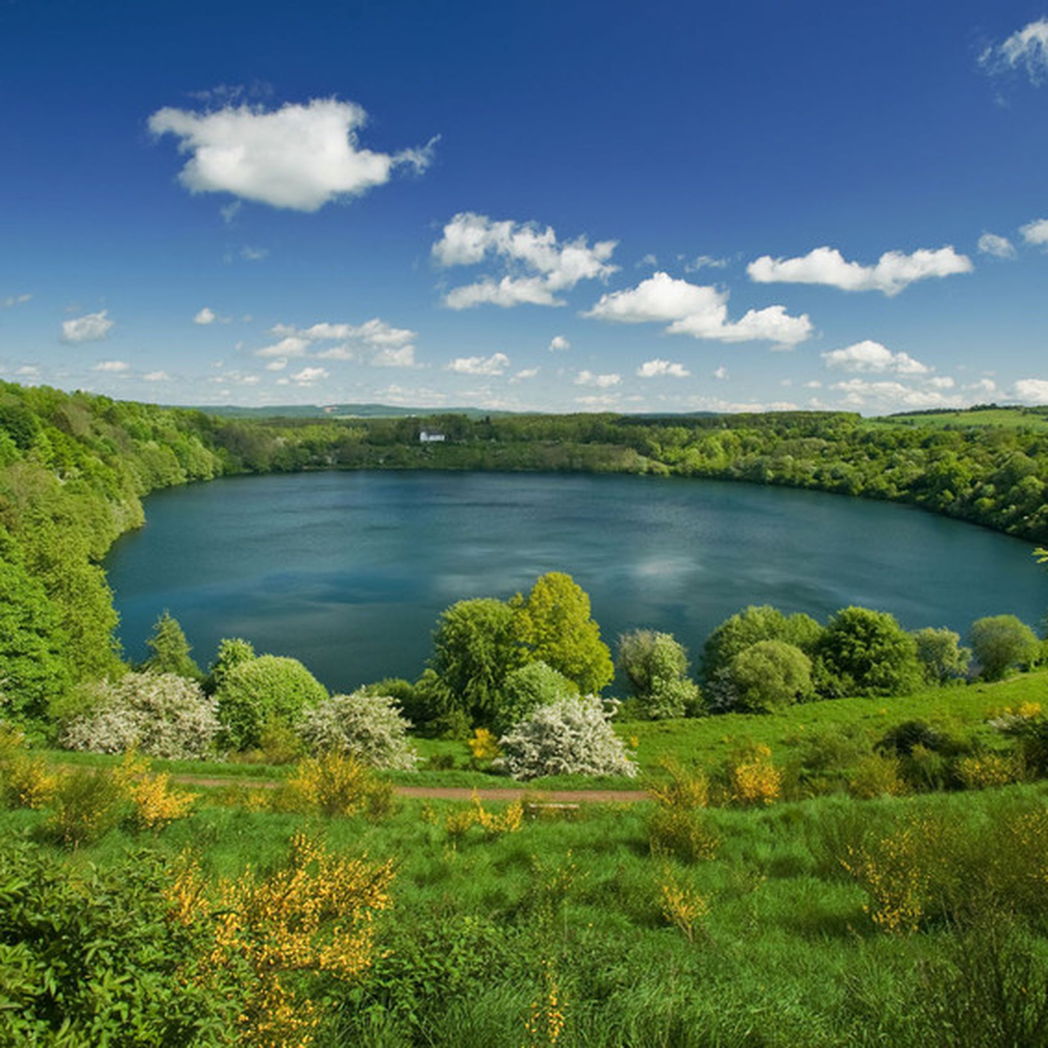
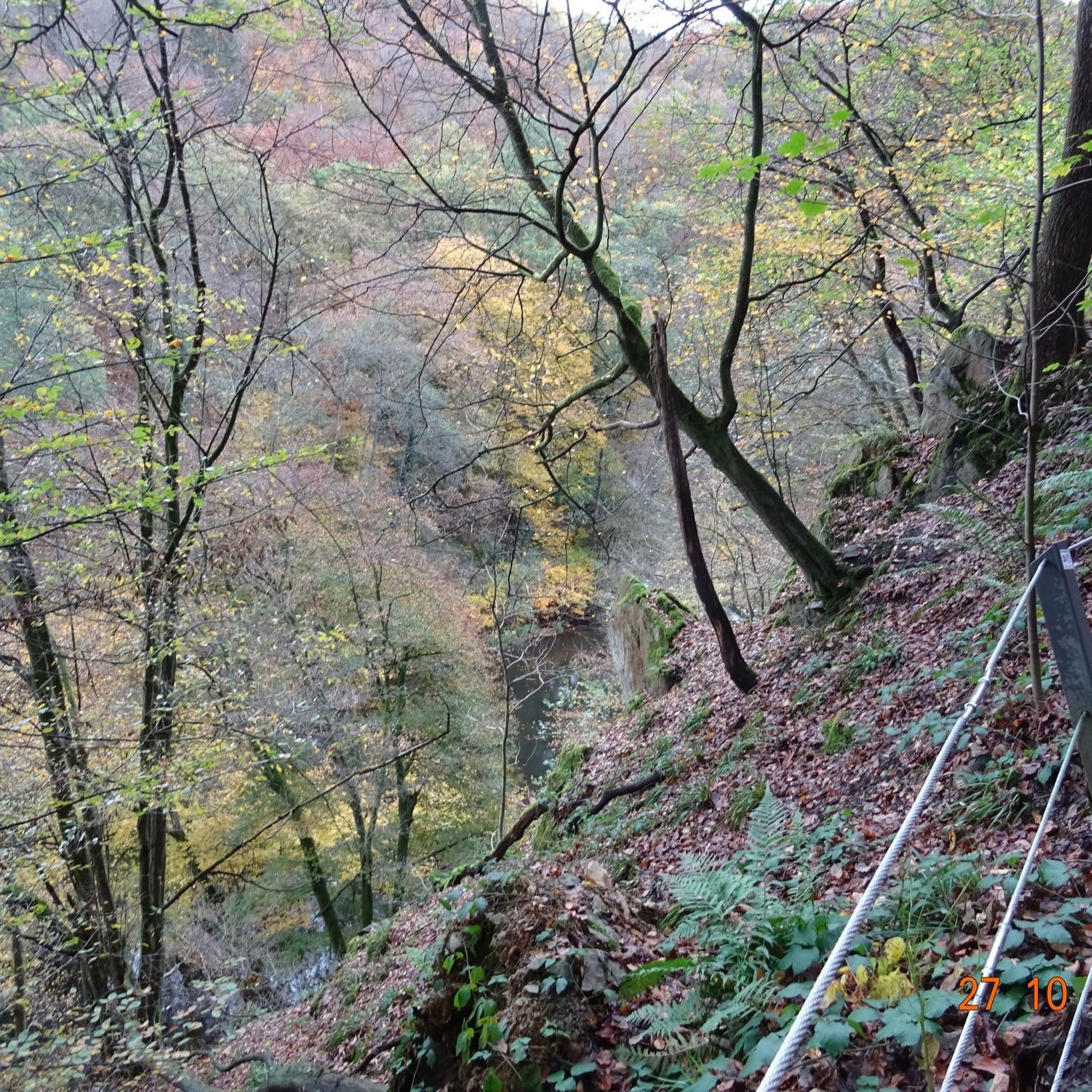
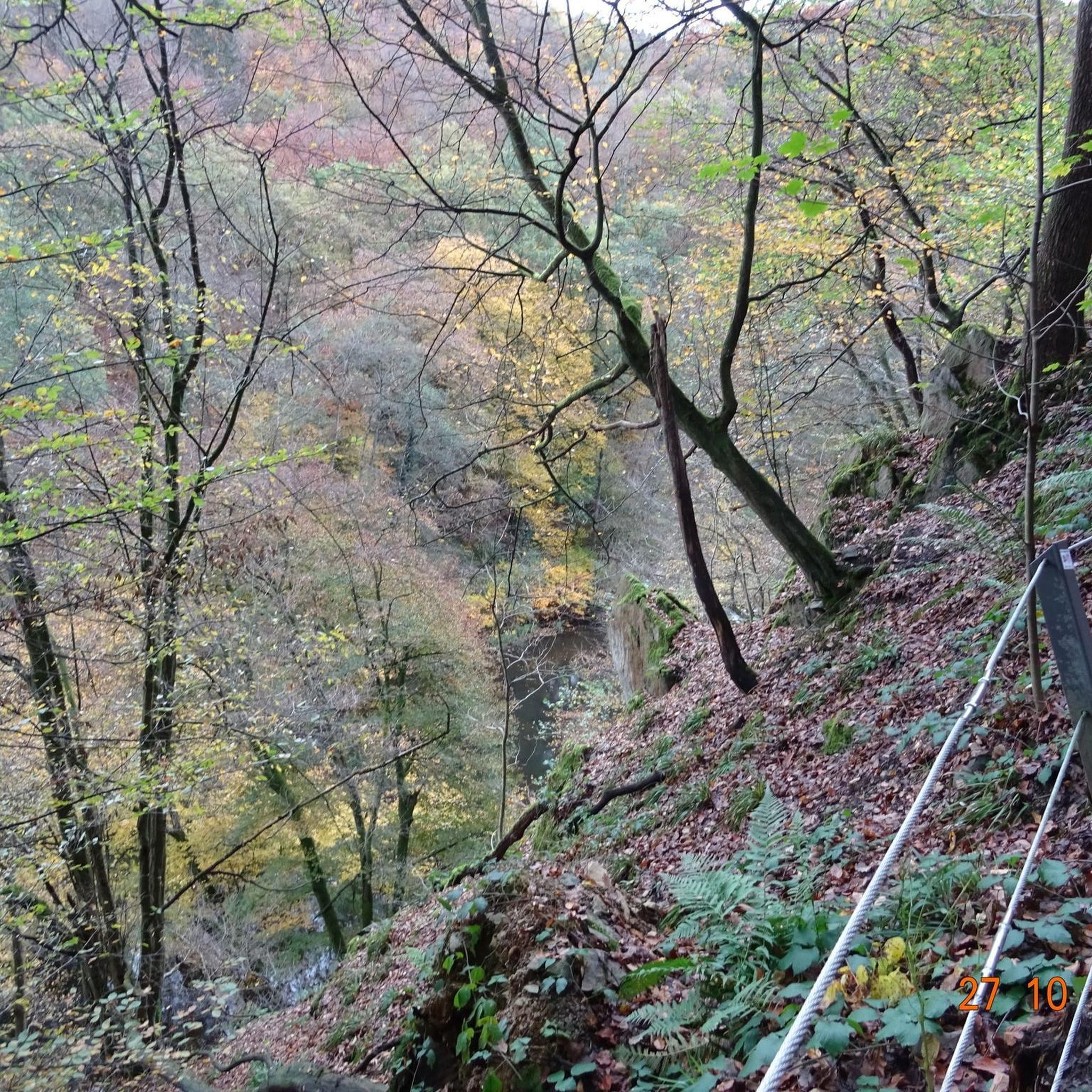
Badestelle와 Schalkmehren의 아름다운 전망이 있습니다.
0
0

The Ulmen Maar lies 420 meters above sea level today, covers an area of 5.5 hectares, and is 36 meters deep. The bubbles at the maar's edge demonstrate that volcanism is still active. They bear witness to a turbulent past—but rest assured, there's no eruption in sight! A wall of various rocks and ash, up to 20 meters thick, surrounds the cone. For those interested, these testimonies to this explosive past are beautifully displayed in St. Matthias Church. This unique wall, with its different colored layers and rounded inclusions, is worth seeing for more than just geologists. The slopes of the maar basin are covered with a beautiful forest, which can be explored on a circular walk. A detour to the medieval castle ruins, from which the Crusaders once launched their campaigns, is recommended. The view from the crater rim over the maar and the Eifel beyond will take your breath away. Whether after a sweaty hike or a long drive, the blue of the Ulmer Eifel lake is all too tempting in summer. However, bathing in the maar is prohibited because it is designated as a nature and water protection area.
7
0

Beautiful circular path in the shade suitable for wheelchairs/strollers
0
0

"Old Station" Schalkenmehren Passenger service between Daun and Wittlich was discontinued on November 1, 1981. Schalkenmehren. Approaching the Old Station in Schalkenmehren on the former railway line, today's Maare-Mosel cycle path, and seeing the station building, it's hard to believe that it was opened as a fourth-class railway station exactly 100 years ago. But how did it all begin 100 years ago? Surveying for the Daun-Wittlich railway line began as early as 1897. General preparatory work for the single-track line began in 1907. But it would take some time before the Daun-Schalkenmehren-Gillenfeld section opened on December 1, 1909, with the line running over the 28-meter-high Daun viaduct and through the 560-meter-long Schalkenmehren railway tunnel, "Großes Schlitzohr" (Great Sly Fox). The extension from Gillenfeld to Manderscheid to Pantenburg was completed on May 1, 1910, and the extension from Manderscheid-Pantenburg to Wittlich, signifying the completion of the entire line, was completed on July 1, 1910. The completion of the Daun-Wittlich railway line brought rapid development to the village of Schalkenmehren. In the first year of the line's existence (1910), 18,968 tickets were sold in Schalkenmehren, followed by 25,057 in 1913, 27,969 in 1919, and even 30,279 in 1922. In addition, Schalkenmehren station was designed for general cargo traffic and the receipt and dispatch of wagonloads. Text / Source: www.volksfreund.de/ https://www.volksfreund.de/region/vulkaneifel/ein-schmuckstueck-fuer-nostalgiker_aid-5712448
13
0
Weinfelder Maar - Impressive Evidence of Explosive Geological History The Weinfelder Maar – also known as Totenmaar – is one of the three so-called Daun Maars. It is located about 2 kilometers from our district town of Daun, near the municipality of Schalkenmehren, between the Gemünden and Schalkenmehren Maars. It has a diameter of approximately 525 meters and a depth of 51 meters, making it the deepest of the three Daun Maars. It is the youngest and, at 487 meters above sea level, the highest of the three closely adjacent maars, which formed between 20,000 and 30,000 years ago. Text / Source: Natur- und Geopark Vulkaneifel GmbH, Mainzer Str. 25, Daun https://www.geopark-vulkaneifel.de/eifel/landschaft/maare-und-kraterseen/weinfelder-maar.html
12
0
Weinfelder Maar The Weinfelder Maar, formed by volcanic activity around 20,000 to 30,000 years ago, is the highest of the three Daun Maars at 487 meters above sea level. The lake is 51 meters deep and has a diameter of 396 to 429 meters. An almost melancholic atmosphere surrounds the maar. Many legends surround the tranquil Eifel eye. A castle is said to have once stood on the site of the crater, where a count lived with his wife and only child. After returning home from a hunt, the castle had sunk as punishment for the woman's nastiness, and he found only a lake where a cradle miraculously floated his child safely to the shore. If you look at the dark surface of the water long enough, it is said that you can make out the outline of the castle. The German landscape painter Fritz von Wille was so fascinated by the Weinfelder Maar that he repeatedly immortalized it in his paintings. Among his favorite motifs was the small chapel on the north bank, dedicated to Saint Martin. It was once the parish church of the village of Weinfeld, which was ravaged by the plague in the 16th century. Anyone who rings the bells inside by pulling the ropes can make a wish. To this day, the associated cemetery is maintained and used by the local community of Schalkenmehren. This is also where its second name, Totenmaar, comes from. Donkeys and goats have been introduced to the Weinfelder Maar to regulate vegetation. The maar's unique flora and fauna are protected. Swimming and other water sports are prohibited in the Weinfelder Maar, but a nearly two-kilometer-long path makes it a wonderful place to explore on foot. Parking: Guests can park along the L64 either in the parking lot at the Weinfelder Maar or on the Maarsattel between the Weinfelder Maar and the Schalkenmehrener Maar. Text / Source: GesundLand Vulkaneifel GmbH, Leopoldstr. 9 A, 54550 Daun https://www.eifel.info/a-weinfelder-maar
12
0
샬켄메레너 마르 주변에서 가장 인기 있는 명소


더 살펴보기
다른 지역의 최고의 MTB 트레일를 살펴보세요.
