경로

플래너

기능

업데이트

App

로그인 또는 가입

앱 다운로드

로그인 또는 가입

로그인 또는 가입

경로
MTB 트레일
독일
라인란트-팔츠
불카네이펠

네로스

네로스 최고의 MTB 라이딩 경로

4.2

(24)

67

자전거 타는 사람

17

라이딩

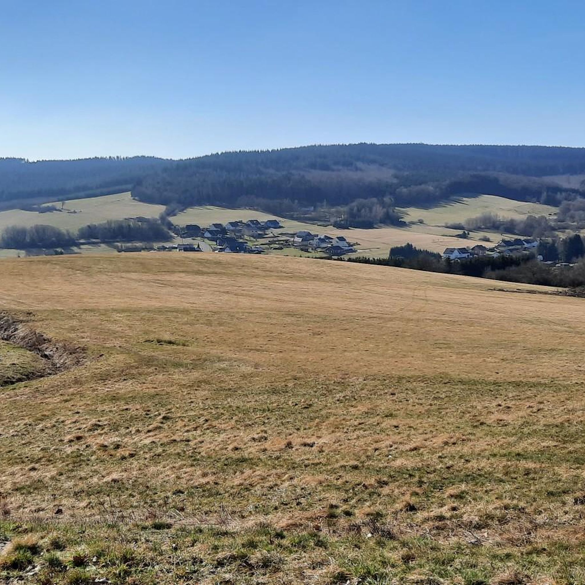
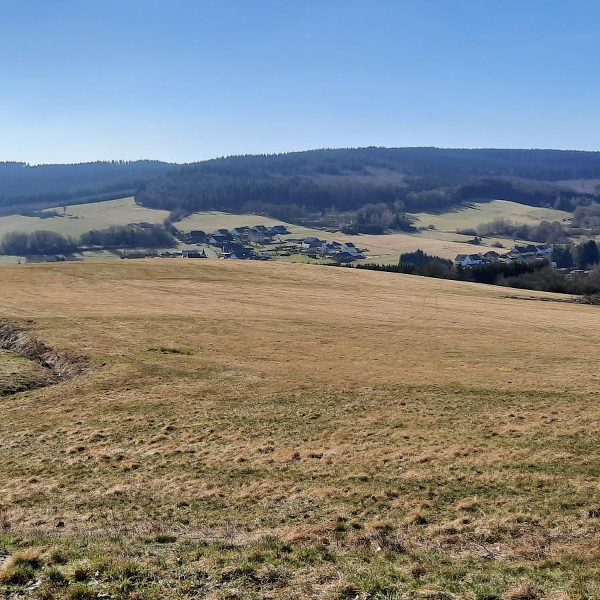
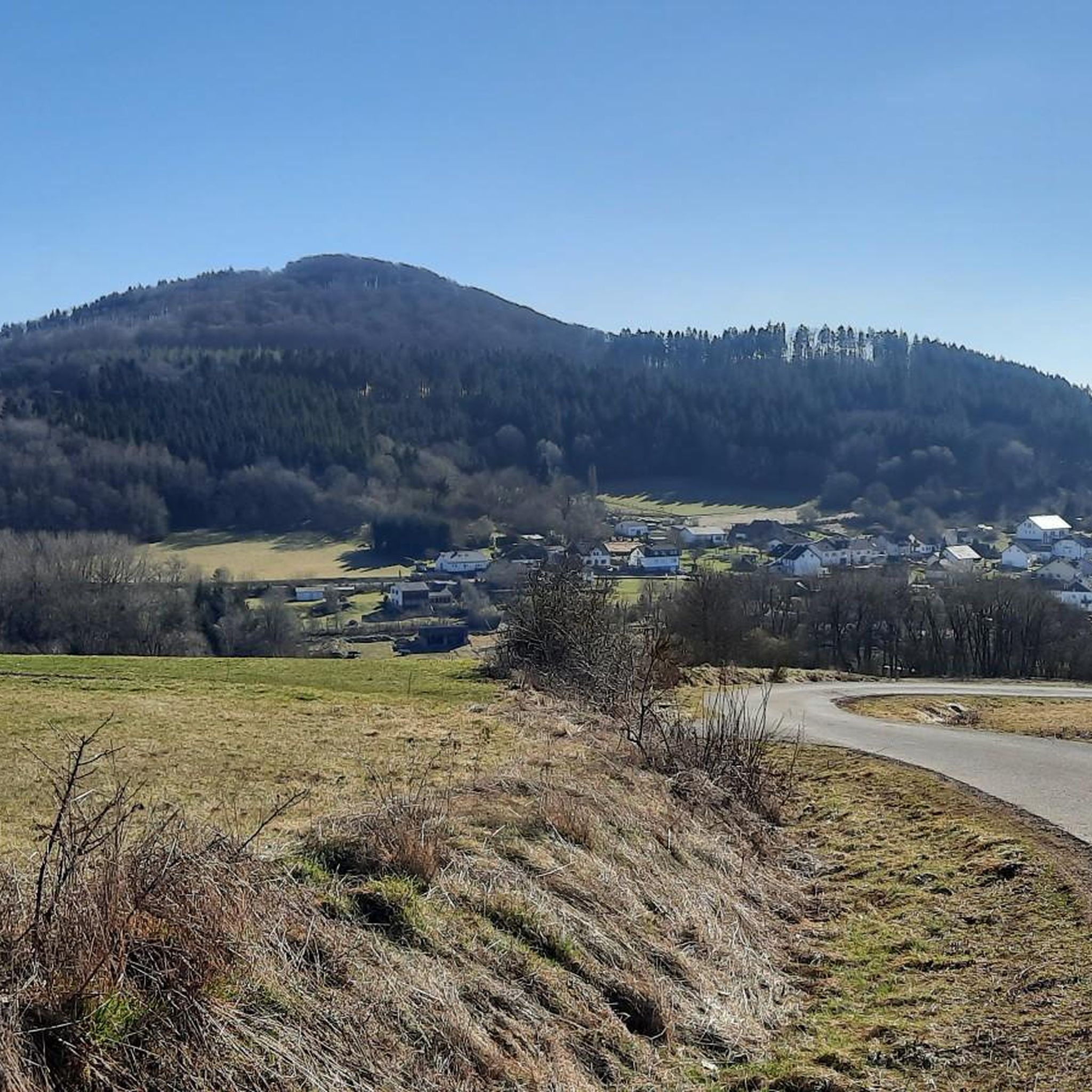
산악자전거를 타기 좋은 네로트 주변은 화산 활동으로 형성된 다양한 풍경을 자랑하며, 사화산, 극적인 지질 구조, 광활한 삼림 지대를 특징으로 합니다. 네로터 코프(Nerother Kopf)와 에른스트베르크(Ernstberg)와 같은 봉우리까지의 도전적인 오르막과 울창한 숲을 통과하는 경치 좋은 내리막이 지형에 포함됩니다. 라이더들은 마르(maar)와 계곡을 가로지르는 다양한 산악자전거 코스를 탐험하며 수많은 전망 지점에서 풍부한 자연 경험을 할 수 있습니다.

네로트 주변 최고의 산악자전거 코스

  • 가장 인기 있는 산악자전거 코스는 네로트에서 출발하는 사르메르츠바흐 파노라마 벤치 – 도클바일러 옛 철도 터널 루프로, 65.0km(40.4마일) 길이이며 완료하는 데 5시간…

마지막 업데이트: 5월 18, 2026

3.0

(1)

8

자전거 타는 사람

#1.

Neroth에서 출발하는 파노라마 벤치 사머츠바흐 – 도크바일러 옛 철도 터널 순환 코스

65.0km

05:21

1,140m

1,140m

어려운 산악 자전거 타기. 우수한 체력 필요. 실력과 관계없이 누구나 갈 수 있음.

기기에서 길안내

휴대폰으로 전송

저장

어려움

보통 산악 자전거 타기. 좋은 체력 필요. 뛰어난 라이딩 실력이 필요함.

보통
guide_signup
저희가 komoot 모바일 앱로 길을 안내해 드리겠습니다.
무료 komoot 계정로 끝없는 야외 모험을 손쉽게 찾고, 맞춤 설정하며 길안내할 수 있어요.

무료 회원 가입

보통 산악 자전거 타기. 좋은 체력 필요. 뛰어난 라이딩 실력이 필요함.

보통

보통 산악 자전거 타기. 좋은 체력 필요. 뛰어난 라이딩 실력이 필요함.

보통

보통 산악 자전거 타기. 좋은 체력 필요. 실력과 관계없이 누구나 갈 수 있음.

보통
무료 회원 가입 후 네로스 주변 라이딩 경로를 13개 더 확인하세요

더 다양한 경로와 다른 탐험가들의 추천을 살펴보세요.

무료 회원 가입

이미 komoot 계정이 있나요?

투어 추천은 다른 사람들이 komoot에서 완료한 수천 개의 활동을 바탕으로 구성되어 있습니다.

오늘 무료 계정으로 시작하세요

다음 모험이 기다리고 있어요.
로그인 또는 가입하기

네로스 주변 인기 장소

네로스 하이킹

네로스 로드 사이클링 경로

네로스 사이클링

네로스 주변 그래블 라이딩

네로스 러닝 트레일

네로스 등산

커뮤니티 팁

JakobusPilger
5월 18, 2026, Heiligenhäuschen an der Neuen Straße

이 성모 마리아에게 봉헌된 성당은 훨씬 더 유명한 "브루벨"(발렌보르너 냉수 간헐천)에서 말 그대로 고양이 한 마리 뛸 거리밖에 떨어지지 않은 곳에 세워졌으며, 그 중심에는 그녀의 조각상이 있습니다. 이 조각상은 십자가에서 내려진 아들 예수 그리스도를 안고 있는 그녀를 묘사하고 있으며, 그녀는 매장 전에 죽은 그의 시신을 다시 품에 안고 있습니다.

번역: Google

1

1

인상적인 가문비나무 + 조용한 휴식을 위한 휴식 공간 :)

번역: Google

0

0

Youngtimer
12월 28, 2025, View of Salm

Two curved benches invite you to take a nap. -:)

번역: Google

0

0

A detour is worthwhile

번역: Google

0

0

Steinborner Drees is mineral water with a high iron and carbon dioxide content that bubbles abundantly from a fountain in the center of Steinborn. This spring, a sodium-calcium-magnesium hydrogen carbonate spring, can produce up to 6 liters of refreshing mineral water per minute, with an average temperature of 11.6°C.

번역: Google

5

0

Weinfelder Maar - Impressive Evidence of Explosive Geological History The Weinfelder Maar – also known as Totenmaar – is one of the three so-called Daun Maars. It is located about 2 kilometers from our district town of Daun, near the municipality of Schalkenmehren, between the Gemünden and Schalkenmehren Maars. It has a diameter of approximately 525 meters and a depth of 51 meters, making it the deepest of the three Daun Maars. It is the youngest and, at 487 meters above sea level, the highest of the three closely adjacent maars, which formed between 20,000 and 30,000 years ago. Text / Source: Natur- und Geopark Vulkaneifel GmbH, Mainzer Str. 25, Daun https://www.geopark-vulkaneifel.de/eifel/landschaft/maare-und-kraterseen/weinfelder-maar.html

번역: Google

12

0

Weinfelder Maar The Weinfelder Maar, formed by volcanic activity around 20,000 to 30,000 years ago, is the highest of the three Daun Maars at 487 meters above sea level. The lake is 51 meters deep and has a diameter of 396 to 429 meters. An almost melancholic atmosphere surrounds the maar. Many legends surround the tranquil Eifel eye. A castle is said to have once stood on the site of the crater, where a count lived with his wife and only child. After returning home from a hunt, the castle had sunk as punishment for the woman's nastiness, and he found only a lake where a cradle miraculously floated his child safely to the shore. If you look at the dark surface of the water long enough, it is said that you can make out the outline of the castle. The German landscape painter Fritz von Wille was so fascinated by the Weinfelder Maar that he repeatedly immortalized it in his paintings. Among his favorite motifs was the small chapel on the north bank, dedicated to Saint Martin. It was once the parish church of the village of Weinfeld, which was ravaged by the plague in the 16th century. Anyone who rings the bells inside by pulling the ropes can make a wish. To this day, the associated cemetery is maintained and used by the local community of Schalkenmehren. This is also where its second name, Totenmaar, comes from. Donkeys and goats have been introduced to the Weinfelder Maar to regulate vegetation. The maar's unique flora and fauna are protected. Swimming and other water sports are prohibited in the Weinfelder Maar, but a nearly two-kilometer-long path makes it a wonderful place to explore on foot. Parking: Guests can park along the L64 either in the parking lot at the Weinfelder Maar or on the Maarsattel between the Weinfelder Maar and the Schalkenmehrener Maar. Text / Source: GesundLand Vulkaneifel GmbH, Leopoldstr. 9 A, 54550 Daun https://www.eifel.info/a-weinfelder-maar

번역: Google

12

0

a red bench in the middle of the forest

번역: Google

0

0

네로스 주변에서 가장 인기 있는 경로

네로스 하이킹

네로스 주변에서 가장 인기 있는 명소

Natural Monuments

Store rating

komoot 모바일 앱으로 영감을 받아보세요

무료 komoot 계정로 끝없는 야외 모험을 손쉽게 찾고, 맞춤 설정하며 길안내할 수 있어요.

또는

지금 komoot에 가입하세요

Store rating

더 살펴보기

다른 지역의 최고의 MTB 트레일를 살펴보세요.

다운와인펠더 마르우스블렉하우젠이머라스드리스쾨테리헨스타인버그질렌펠트라이메라스스트론롤스타인니더슈타트펠트윙켈(아이펠)브록샤이드슈테펠른모스브루흐샬켄메레너 마르샬켄메렌Dauner Maare슈타이닝겐회르슈하우젠호페라스슈타트킬풀베르마르웃체라스웰체라스바스버그베렌바흐사센오버슈타트펠트레테라스위어스펠트회흐스트베르크카페리히리스탈니츠커스바흐슐러힐레스하임브뤼크탈색슬러군데라스뮈켈른위더스도르프데메라스록스킬카츠빈켈돔-라머스도르프케르펜(아이펠)마이스부르크칼렌본-슈에른켈베르그호엔펠스-에싱겐할슐라그오버베팅겐페우스도르프스트로츠뷔슈융케라스비르겔리센도르프우들러회르샤이드살름발렌본덴스본듀데스펠트비스바움드라이스-브뤼크베인하우젠욱스하임엘샤이드오베레헤-스트로하이히베텔도르프독와일러Forst Arenberg불카네이펠의 베를린겐콜베라스다르샤이드힌터와일러버레스본네이헨사메르스바흐케르셴바흐오베렐츠아르바흐슈츠뒤파치오르몬트뮐렌바흐크라덴바흐Lampertstal Und Alendorfer Kalktriften Und Mit Fuhrbach Und Mackental펠름봉가드겔렌베르크베레본보덴바흐볼러키르히바일러네들렌샤이드

근처 어드벤처 가이드

키르히바일러 즐길거리

background

새로운 정복을 위한 준비를 하세요

무료로 가입하기

탐험하기
경로경로 플래너기능하이킹MTB 트레일로드 사이클링 경로바이크패킹사이트맵
앱 다운로드
소셜 미디어에서 팔로우하기

© komoot GmbH

개인 정보 보호 정책