경로

플래너

기능

업데이트

App

로그인 또는 가입

앱 다운로드

로그인 또는 가입

로그인 또는 가입

경로
사이클링 경로
독일
라인란트-팔츠
불카네이펠

다르샤이드

다르샤이드 최고의 사이클링 경로

4.5

(2866)

13,346

자전거 타는 사람

20

라이딩

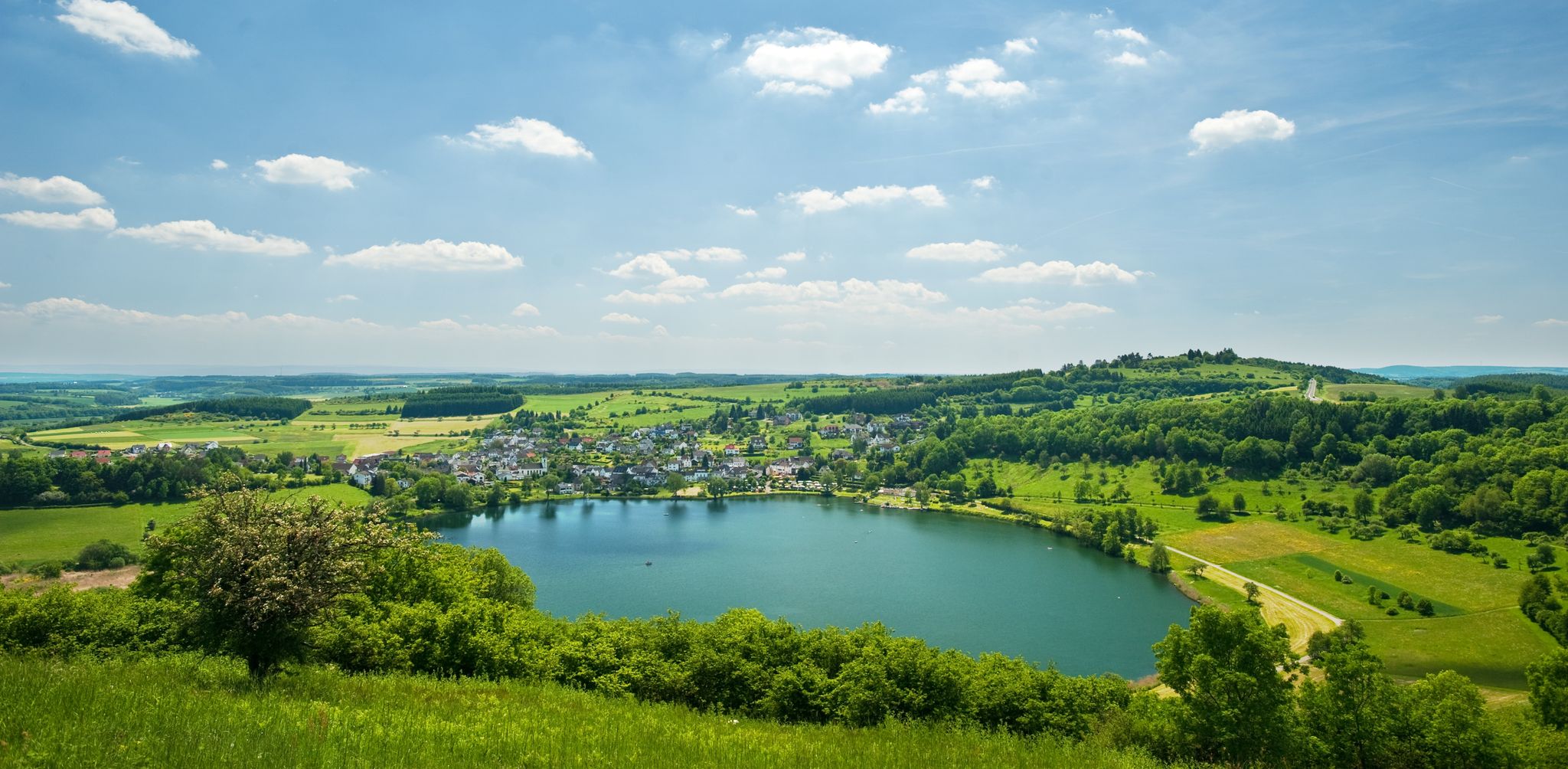
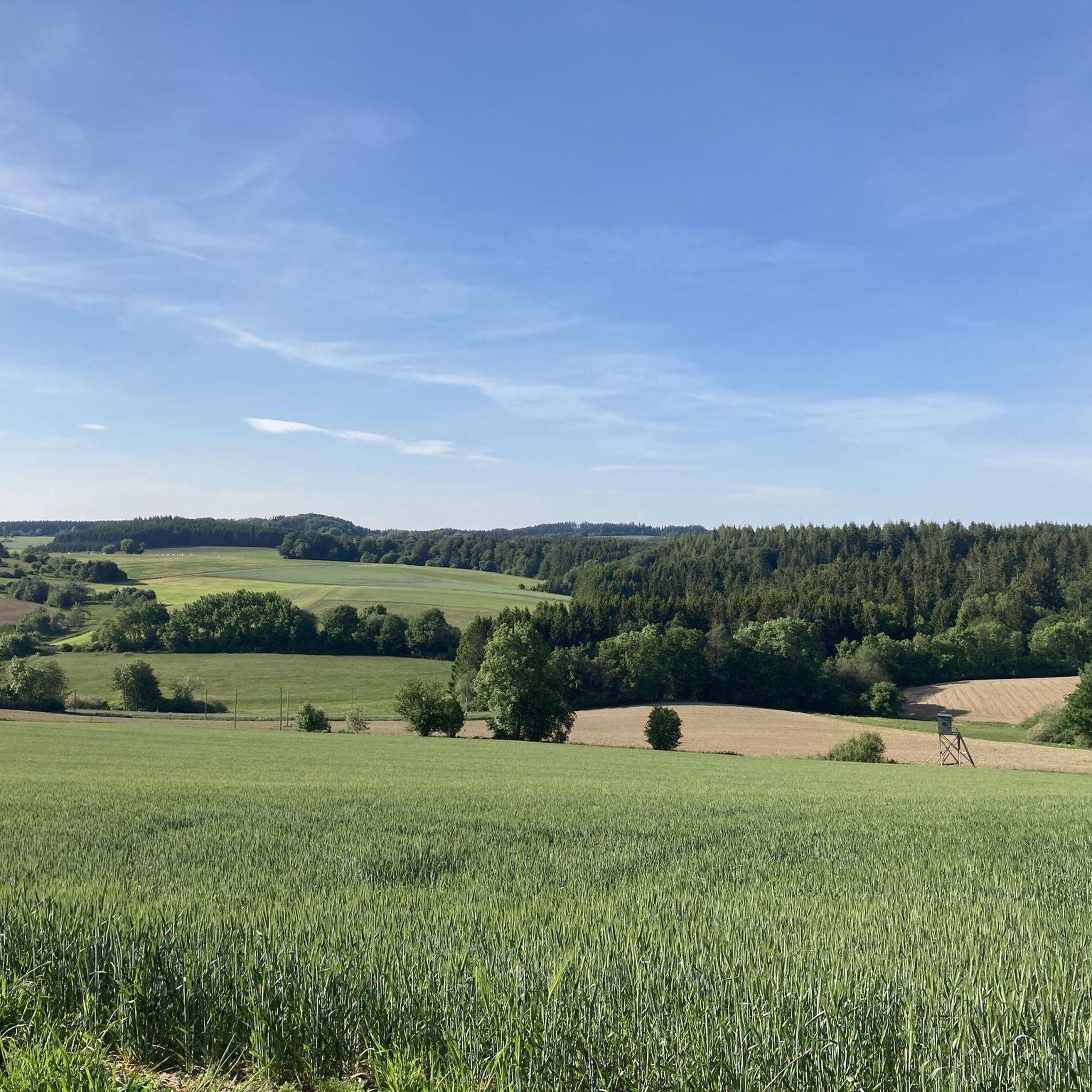
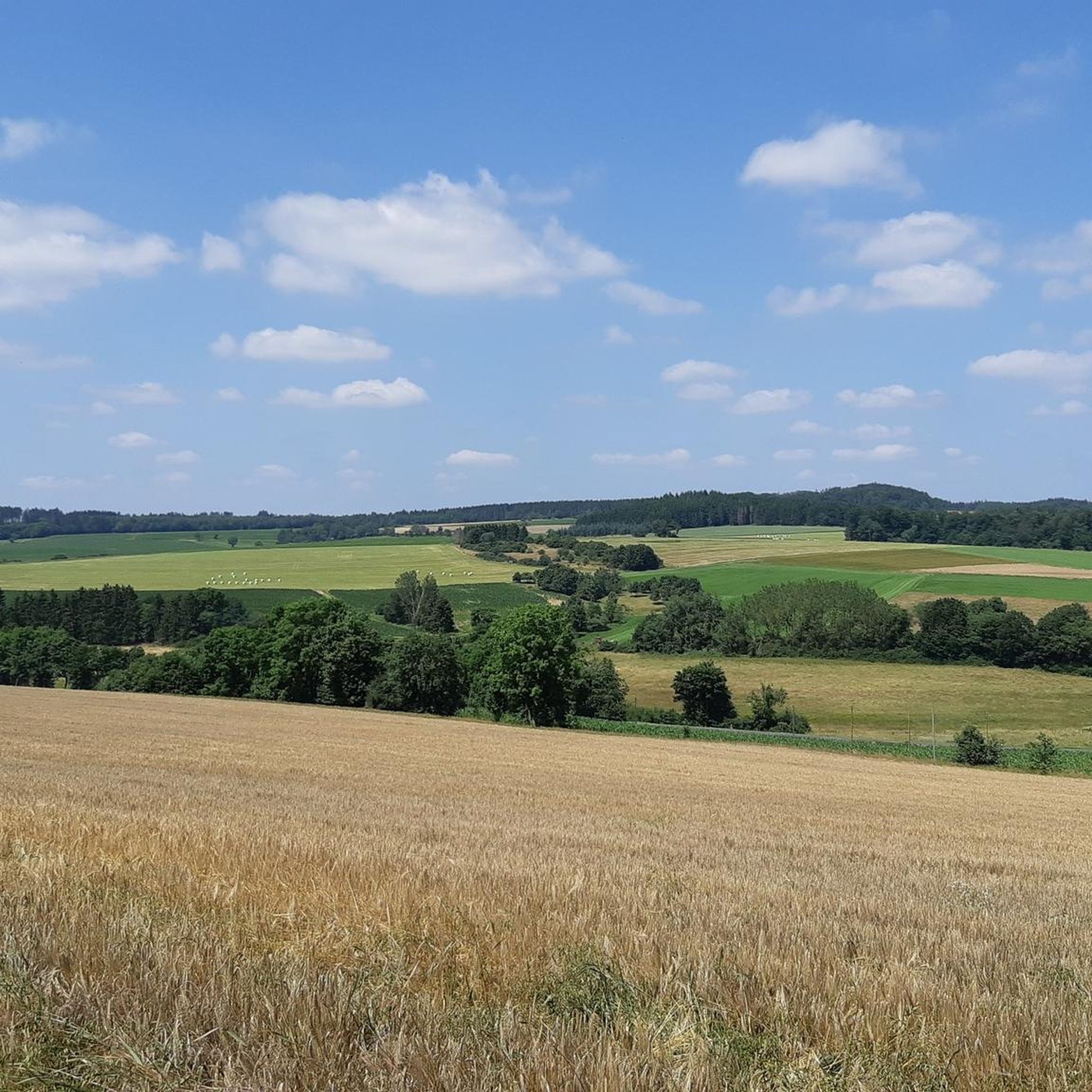
투어링 사이클링은 유네스코 유럽 지질공원인 불카네이펠(Vulkaneifel) 지역의 독특한 화산 풍경을 통과하는 코스를 제공합니다. 이 지역은 화산 분화구, 마르(Maare, 칼데라 호수), 울창한 숲, 구불구불한 언덕이 혼합된 지형을 특징으로 합니다. 사이클리스트들은 옛 철도 노선과 강 계곡을 따라 비교적 평탄한 코스부터 화산 언덕을 오르는 더욱 도전적인 코스까지 다양한 길을 찾을 수 있습니다.

다르샤이트 주변 최고의 투어링 사이클링 코스

  • 가장 인기 있는 투어링 사이클링 코스는 다르샤이트에서 출발하는 15.7마일(25.3km) 길이의 위스바흐(Ueßbach) 쇤바허 뮐레(Schönbacher Mühle) – 피리메리히 쉘터 뷰 오브 다운(Firmerich Shelter View of Daun) 루프

마지막 업데이트: 5월 14, 2026

4.7

(7)

46

자전거 타는 사람

#1.

Darscheid에서 출발하는 Ueßbach, Schönbacher Mühle에서 – Firmerich 쉼터에서 바라본 Daun 순환 코스

25.2km

01:54

410m

400m

보통 자전거 타기. 좋은 체력 필요. 대부분 포장된 지면. 실력과 관계없이 누구나 갈 수 있음.

기기에서 길안내

휴대폰으로 전송

저장

보통

어려운 자전거 타기. 우수한 체력 필요. 대부분 포장된 지면. 실력과 관계없이 누구나 갈 수 있음.

어려움
guide_signup
저희가 komoot 모바일 앱로 길을 안내해 드리겠습니다.
무료 komoot 계정로 끝없는 야외 모험을 손쉽게 찾고, 맞춤 설정하며 길안내할 수 있어요.

무료 회원 가입

보통 자전거 타기. 좋은 체력 필요. 대부분 포장된 지면. 실력과 관계없이 누구나 갈 수 있음.

보통

5.0

(1)

16

자전거 타는 사람

초급용 자전거 라이딩. 모든 체력 수준에 적합. 대부분 포장된 지면. 실력과 관계없이 누구나 갈 수 있음.

초급

초급용 자전거 라이딩. 모든 체력 수준에 적합. 대부분 포장된 지면. 실력과 관계없이 누구나 갈 수 있음.

초급
무료 회원 가입 후 다르샤이드 주변 라이딩 경로를 16개 더 확인하세요

더 다양한 경로와 다른 탐험가들의 추천을 살펴보세요.

무료 회원 가입

이미 komoot 계정이 있나요?

투어 추천은 다른 사람들이 komoot에서 완료한 수천 개의 활동을 바탕으로 구성되어 있습니다.

오늘 무료 계정으로 시작하세요

다음 모험이 기다리고 있어요.

로그인 또는 가입하기

다르샤이드 주변 인기 장소

Excellent paths in the Vulkaneifel – Explore the HeimatSpuren

Lava pits & fairytale lakes – hiking through Vulkaneifel in Germany

다르샤이드 하이킹

다르샤이드 로드 사이클링 경로

다르샤이드 MTB 트레일

다르샤이드 주변 그래블 라이딩

다르샤이드 러닝 트레일

다르샤이드 주변의 다른 모험

Excellent paths in the Vulkaneifel – Explore the HeimatSpuren

하이킹 컬렉션 에 의해

GesundLand Vulkaneifel

커뮤니티 팁

Anton
8월 19, 2025, Maare-Mosel-Radweg Startpunkt Daun

beautiful cycle path

번역: Google

0

0

There are very beautiful and paved paths in the Eifel, away from the tourist routes.

번역: Google

1

0

A true paradise stretches out on the edge of the village of Ulmen on a plateau beneath the Steimelskopf, where a volcano once erupted with a tremendous bang, forming a deep crater with a maar lake, which now serves as a renowned bird sanctuary. The exact age of the Jungferweiher lake cannot be determined, but its morphological shape suggests it is several hundred thousand years old. In early modern times, the Lords of Ulmen used the lake as a fishpond for carp breeding, until it gradually silted up over time, and the residents of Ulmen harvested peat from the former maar for heating purposes. However, in 1942, the decision was made to flood the area again by damming the Ulmener Bach to secure the drinking water supply for the Cochem-Zell district. Today, the Jungferweiher lake, located at an altitude of 428 meters above sea level, covers an area of approximately 170,000 square meters with a depth of 0.8 meters. The pond, along with the Ulmener Maar, is protected for its rare flora and fauna. Many endangered species, such as the snipe and the meadow pipit, breed in the reed-rich banks, while ospreys have been observed hunting. Migratory birds such as cranes, teals, and great grey shrikes roost in the meadows near the Ulmener Jungferweiher every year. Therefore, a walk along the approximately 3-kilometer loop is a must, especially during the migration periods in spring and autumn. At the bird observatory on the western bank, you can observe the birds in their natural habitat. Nowadays, a wide variety of fish species thrive in the shallow waters of the Ulmener Weiher, which can be fished from a fishing pier on the southern bank. Swimming and other water sports are prohibited, however. Fishing permits are issued by the local municipal administration in Ulmen. Since 2023, the Ulmener Maar Tunnel has connected the Jungferweiher underground to the Ulmener Maar. A visit to the 126-metre-long tunnel is highly recommended!

번역: Google

7

0

1 million years of geology. Worth putting your bike aside for a moment.

번역: Google

6

0

The landscape reflects the geological development of millions of years.

번역: Google

6

0

Beautiful cozy square in the middle of the village.

번역: Google

5

0

The Sarmersbach XXL or panoramic bench was built in November 2020 and is the largest bench in Rhineland-Palatinate. At 3.25 meters high and 6.27 meters long, it is unique. Over 6 cubic meters of Douglas fir wood were used. You can easily reach the bench via a wooden walkway – no climbing required! However, enter at your own risk. Anyone who takes a break here will be rewarded with a magnificent view.

번역: Google

6

0

The Afelskreuz (indulgence cross, mistakenly interpreted as the "Eifel Cross") stands on an old Roman military road. For centuries, pilgrims from the Bonn-Cologne region have traveled this route to the grave of the Apostle Saint Matthias in Trier. This path is therefore also popularly known as the Pilgrim's Route. Another name is the "Piglet Route," because farmers and traders drove their cattle along the Afelskreuz to the markets in Kelberg and Mehren until the 1830s. It is noteworthy that the cities of Trier and Cologne are equidistant from the Afelskreuz (Afelskreuz), some 90 kilometers away. The Romans already established a well-developed network of paths, which can still be seen today. Hörschhausen was a junction of several Roman-era paths and roads. There was also a path from Hörschhausen to Bongard, which crossed the main road between Uess and Lieser at the Afelskreuz.

번역: Google

6

0

다르샤이드 주변에서 가장 인기 있는 경로

다르샤이드 하이킹

다르샤이드 주변에서 가장 인기 있는 명소

Places to see

Store rating

komoot 모바일 앱으로 영감을 받아보세요

무료 komoot 계정로 끝없는 야외 모험을 손쉽게 찾고, 맞춤 설정하며 길안내할 수 있어요.

또는

지금 komoot에 가입하세요

Store rating

더 살펴보기

다른 지역의 최고의 자전거 경로를 살펴보세요.

다운Forst Arenberg바스버그롤스타인힐레스하임할슐라그쾨테리헨오버베팅겐우스모스브루흐샬켄메렌위어스펠트Dauner Maare슈타트킬슐러페우스도르프브록샤이드샬켄메레너 마르스트론사센돔-라머스도르프레테라스융케라스블렉하우젠케르셴바흐리스탈군데라스불카네이펠의 베를린겐켈베르그호엔펠스-에싱겐니더슈타트펠트질렌펠트샤이드오버슈타트펠트와인펠더 마르버레스본카페리히비르겔리센도르프윙켈(아이펠)위더스도르프회르슈하우젠호페라스사메르스바흐스트로츠뷔슈풀베르마르네들렌웰체라스회흐스트베르크욱스하임베렌바흐웃체라스우들러힌터와일러니츠덴스본카츠빈켈이머라스드라이스-브뤼크데메라스슈츠오르몬트색슬러마이스부르크봉가드발렌본엘샤이드펠름네로스키르히바일러커스바흐회르샤이드아르바흐오베렐츠보덴바흐록스킬브뤼크탈볼러라이메라스베인하우젠슈테펠른베레본비스바움뒤파치살름뮈켈른듀데스펠트오베레헤-스트로하이히베텔도르프케르펜(아이펠)스타인버그슈타이닝겐Lampertstal Und Alendorfer Kalktriften Und Mit Fuhrbach Und Mackental독와일러크라덴바흐겔렌베르크콜베라스칼렌본-슈에른뮐렌바흐네이헨드리스

근처 어드벤처 가이드

회르샤이드 즐길거리

background

새로운 정복을 위한 준비를 하세요

무료로 가입하기

탐험하기
경로경로 플래너기능하이킹MTB 트레일로드 사이클링 경로바이크패킹사이트맵
앱 다운로드
소셜 미디어에서 팔로우하기

© komoot GmbH

개인 정보 보호 정책