심펠벨트에서 가장 멋진 20개의 천연기념물
천연기념물을 방문하여 심펠벨트의 아름다운 풍경을 만나보세요. 심펠벨트에 있는 20
개의 천연기념물과 상세 정보를 살펴본 후에 방문하고 싶은 천연기념물을 다음 모험 계획에 추가해보세요!
마지막 업데이트: 8월 19, 2026
바알저베르크 삼국경계점
하이라이트 • 기념물
번역자 Google •
팁에 의해

브룬서머하이데 자연보호구역
하이라이트 • 자연 기념물
번역자 Google •
팁에 의해

이런 장소를 발견하려면 지금 가입하세요
최고의 싱글 트랙, 봉우리 및 다양한 흥미로운 야외 장소에 대한 추천을 받아보세요.
무료 회원 가입
Brunssummerheide를 내려다볼 수 있는 벤치
하이라이트 • 전망대
번역자 Google •
팁에 의해

아헨의 란트그라벤(녹색 성벽)
하이라이트 • 역사적 장소
번역자 Google •
팁에 의해

브룬섬메르하이데의 하얀 모래언덕
하이라이트 • 자연 기념물
번역자 Google •
팁에 의해

무료로 가입하여 심펠벨트 주변의 더 많은 자연 기념물을 발견하세요.
무료 회원 가입
이미 komoot 계정이 있나요?
오늘 무료 계정으로 시작하세요
다음 모험이 기다리고 있어요.
로그인 또는 가입하기

커뮤니티 팁

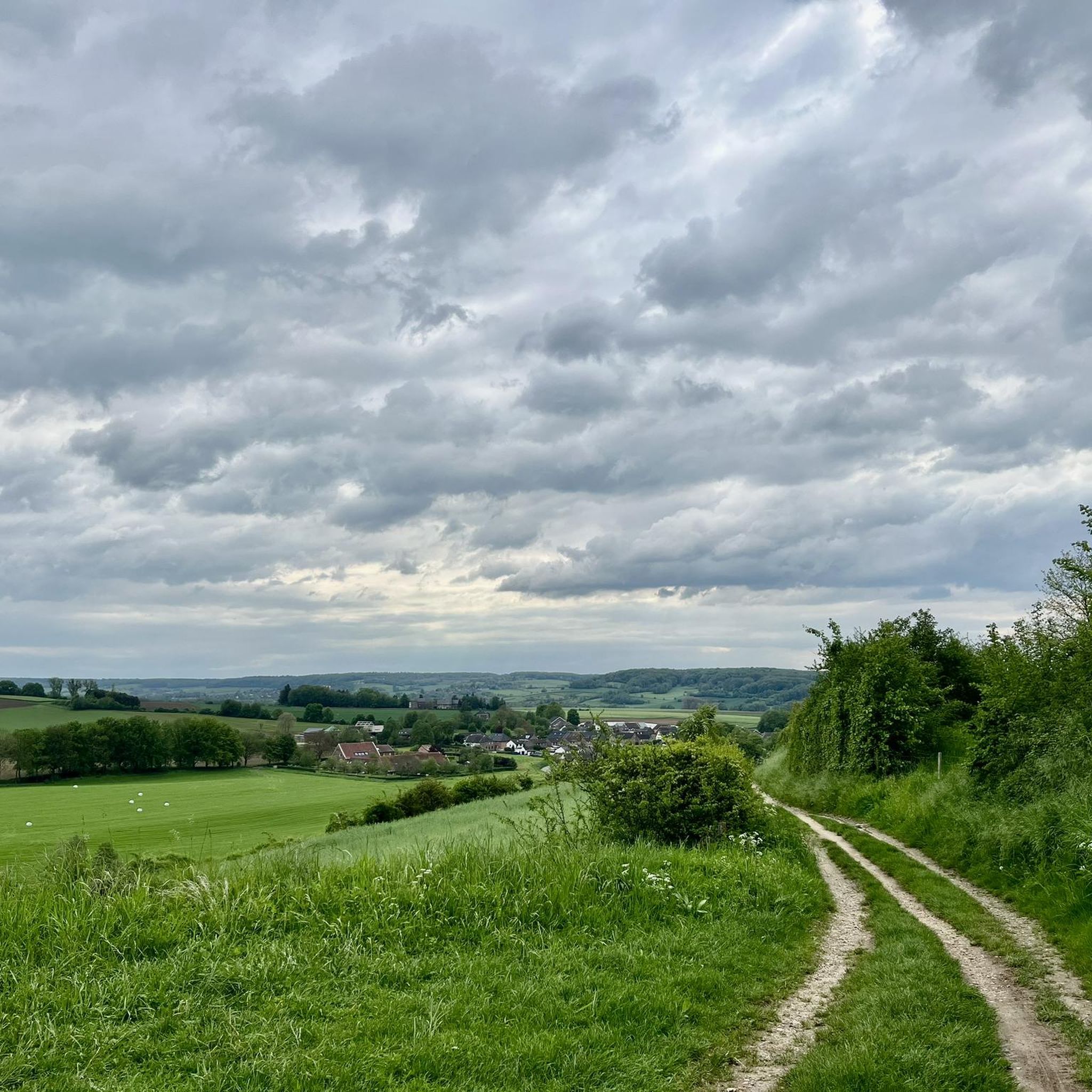
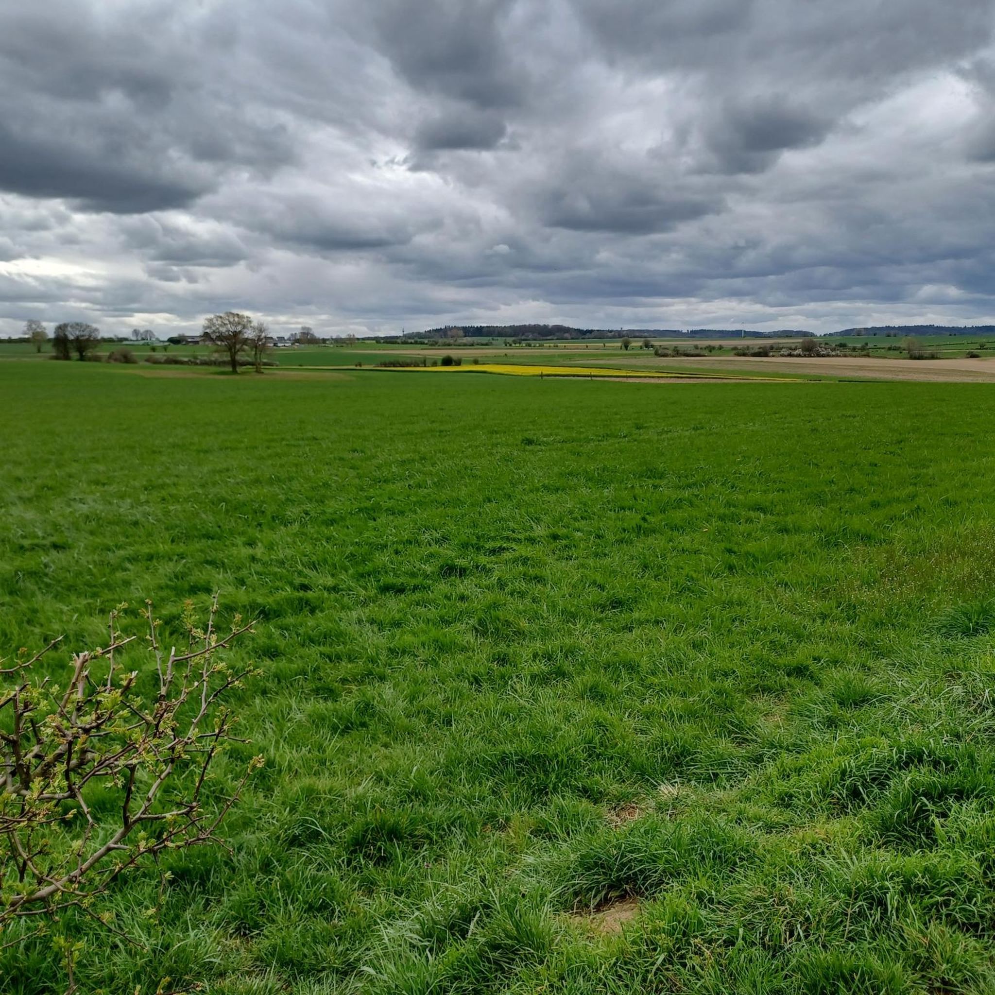
The Ardennes begin gradually in the Dutch-Belgian border region. There are wonderfully expansive views of the landscape.
0
0

The white dunes in the Brunssummerheide are a unique and special part of this nature reserve in the Dutch province of Limburg. These sand dunes were formed by centuries of wind and sand drifts on open heathlands, creating gently rolling hills that contrast sharply with the surrounding dark pine forests and green heathlands. The white dunes have not only an aesthetic value but also an ecological function. The open sandy plains provide a habitat for rare plants and animals that thrive in dry, nutrient-poor conditions, such as various mosses, lichens, and sand lizards. The surface is sometimes so white and dry that it almost looks desert-like, making it a striking element in the landscape.
0
0

The highest point in the Netherlands coincides with the three-country point and is an important tourist attraction.
21
0

As early as the late Middle Ages, the border of the former Aachen Empire, fortified with the Aachen Moat, ran from south to north across the ridge of the Vaalserberg. From 1839 to 1919, the Vaalserberg, with the disputed area of Neutral Moresnet as the fourth country, was even a four-country corner (Vierlandenpunt), which is still remembered in the name of the access road on the Dutch side - Viergrenzenweg. During the First World War, from 1915 to 1918, the high-voltage border barrier stretched along the Belgian-Dutch border for a length of 300 kilometers from the then four-country corner on the Vaalserberg to the Belgian North Sea coast near Knokke. The German invasion of Belgium in 1914 via Gemmenich to Diksmuide, which brought much suffering to the Belgian population, is commemorated by a memorial made of compressed war material at the southern tip of the Vaalserberg, called Via Dolorosa.
23
0

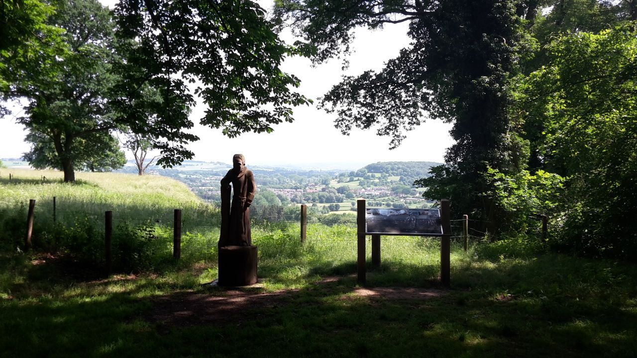
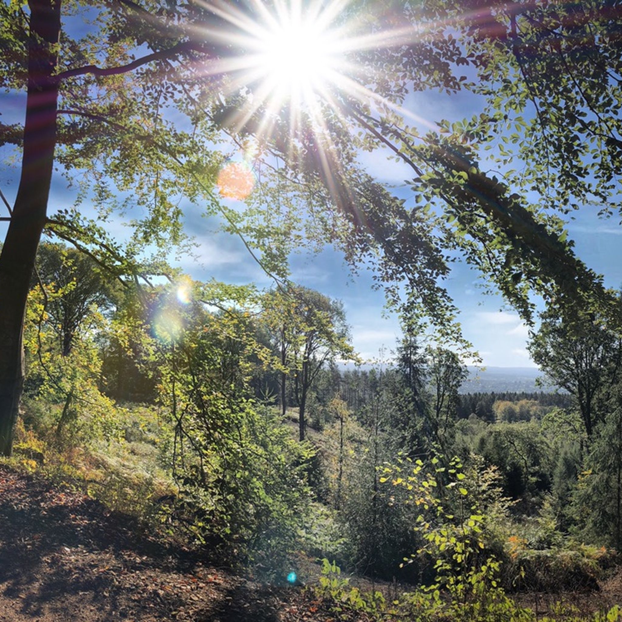
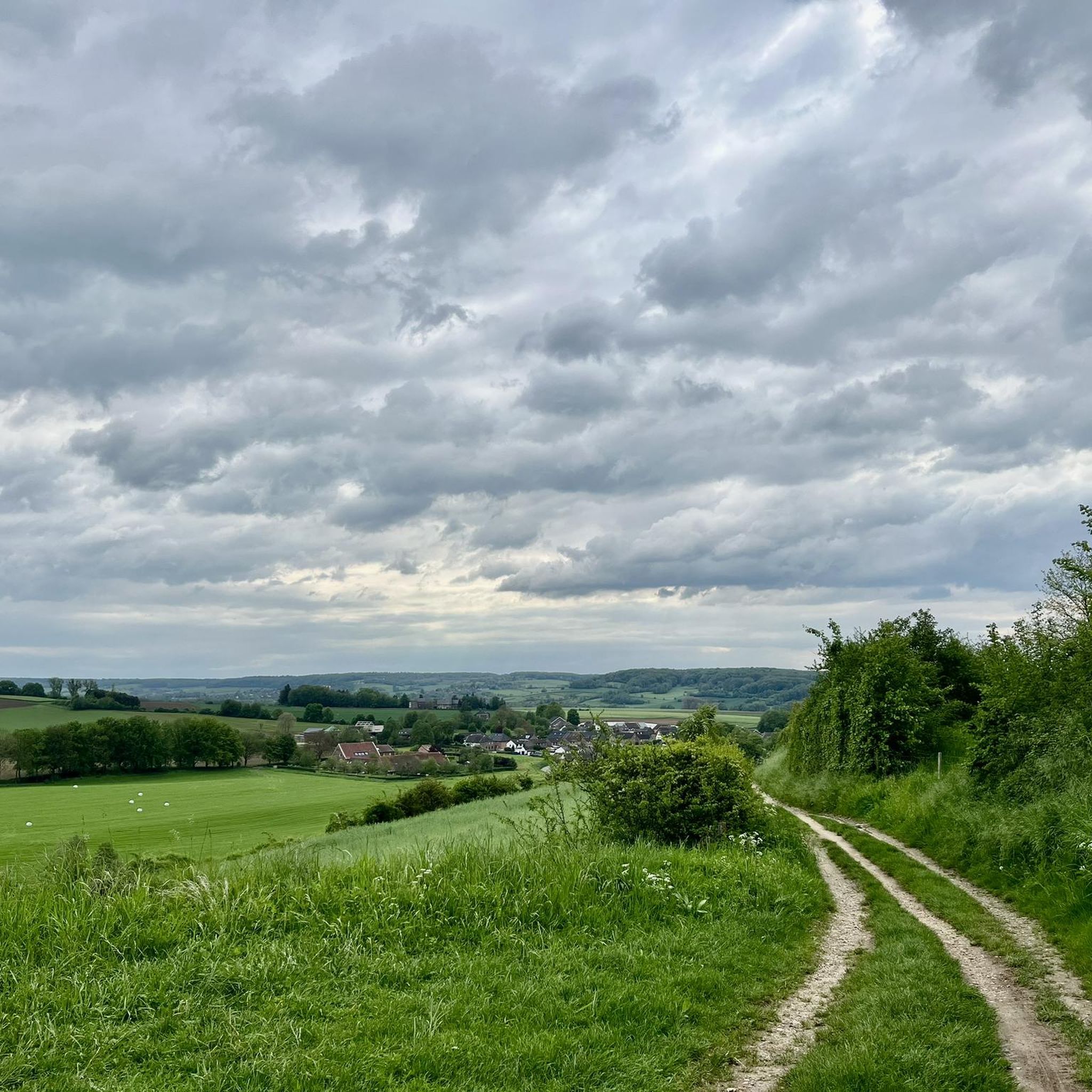
From many hilltops in Brunssummerheide there are great views and sometimes surprising views.
6
0
The white dunes are an exciting contrast to the adjacent vegetation of the heath.
9
0

With a height of no less than 322.4 meters above NAP, the Vaalserberg is the highest mountain in the Netherlands (with the exception of the mountains in the Caribbean). So you are standing on the roof of the Low Countries! The mountain is not only known for its height, but also for the three country point you will find here; here the borders of the Netherlands, Belgium and Germany meet. In addition, there are plenty of activities for young and old on and around the top, so hang out here for a while.
14
1
The Dreiländerpunkt is probably the most frequented area at the Dreiländereck for "selfies" or the like. If you don't like tourist hype of this kind, but still want to take a photo here without umpteen other people being on it, you should come here as early as possible in the morning and not at the weekend or during the holidays...
22
0
심펠벨트 주변에서 가장 인기 있는 명소


더 살펴보기
심펠벨트 주변의 최고의 동굴을 찾기 위해 이 가이드를 확인해보세요:
