가시에서 가장 멋진 20개의 천연기념물
천연기념물을 방문하여 가시의 아름다운 풍경을 만나보세요. 가시에 있는 20
개의 천연기념물과 상세 정보를 살펴본 후에 방문하고 싶은 천연기념물을 다음 모험 계획에 추가해보세요!
마지막 업데이트: 10월 9, 2026
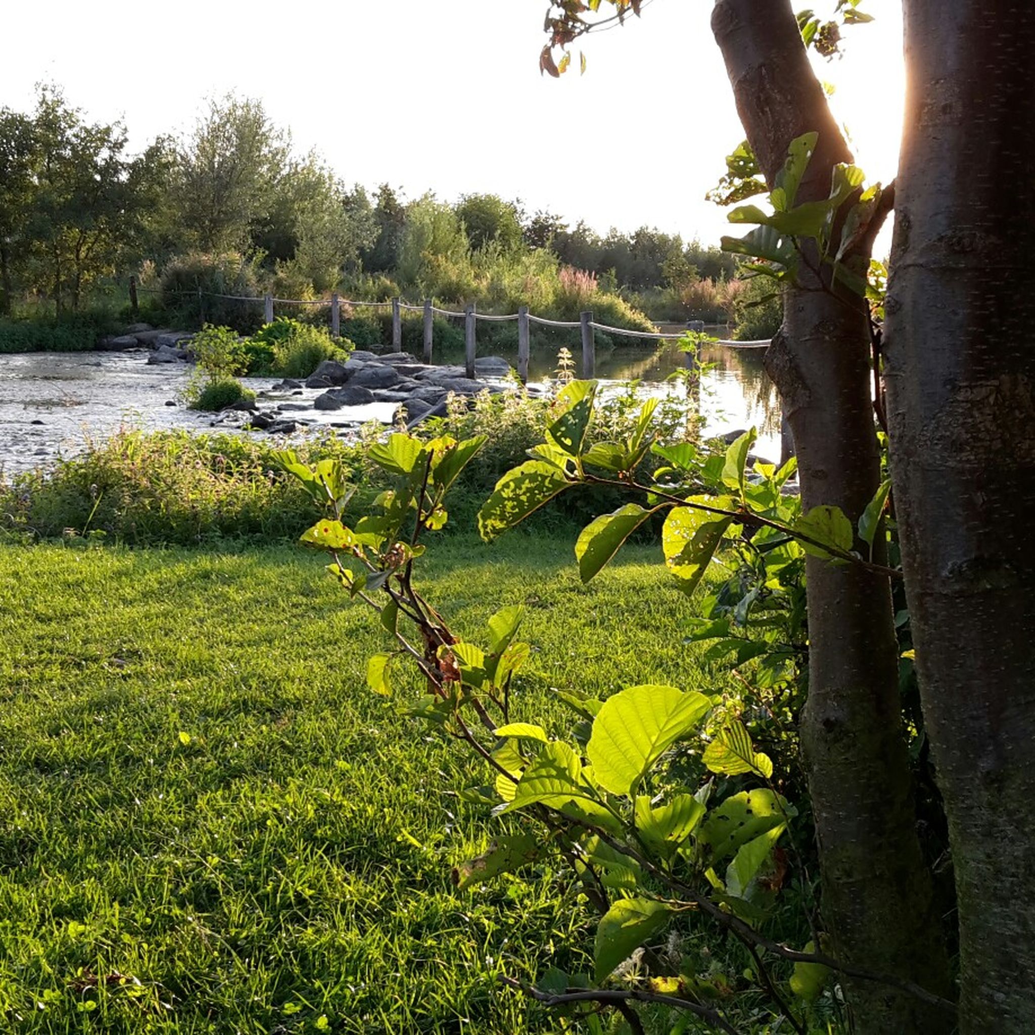
몰렌플라스 나무 기념물
하이라이트 • 자연 기념물
번역자 Google •
팁에 의해


이런 장소를 발견하려면 지금 가입하세요
최고의 싱글 트랙, 봉우리 및 다양한 흥미로운 야외 장소에 대한 추천을 받아보세요.
로어강과 마스강의 합류점
하이라이트 • 강
Here ends the run of the Rur after 180 kilometers into the Meuse. Just as unspectacular as it springs from, it also ends. But the kilometers in between were very nice and eventful.
번역자 Google •
팁에 의해

헷 뢰달
하이라이트 • 숲
번역자 Google •
팁에 의해

Beegderheide의 셔먼 전차 포탑 기념비
하이라이트 • 기념물
번역자 Google •
팁에 의해
무료로 가입하여 가시 주변의 더 많은 자연 기념물을 발견하세요.
이미 komoot 계정이 있나요?


커뮤니티 팁

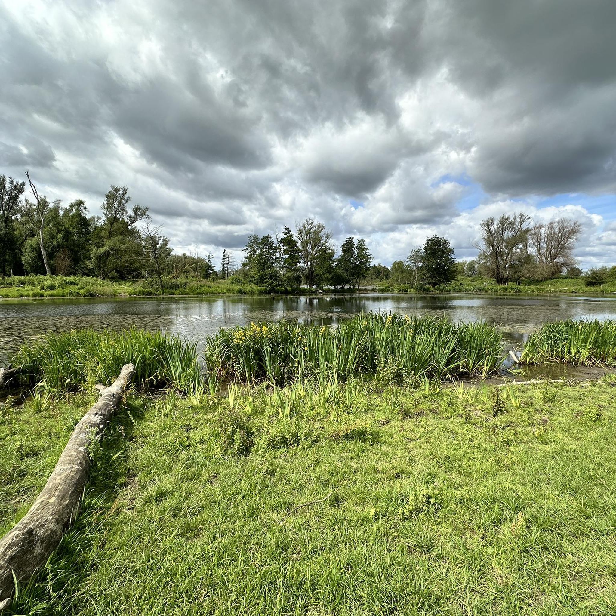
The Leudal is a 900-hectare nature reserve consisting primarily of forests with scattered grasslands, fields, and patches of heathland. Three streams flow through the area: the Leubeek, the Zelsterbeek, and the Haelensche Beek; for this reason, the Leudal is also known as the "Three Rivers Land." Approximately 500 hectares of the area are managed by the Dutch Forestry Commission (Staatsbosbeheer). Source: https://www.leumolen.nl/Entree/Start%20Leumolen/DeLeumolen.htm
4
0
The municipality of Leudal is named after the Leudal nature reserve, which forms the heart of the municipality. Due to its green character, this municipality is sometimes called the Garden of Limburg. The Leudal nature reserve is located between the villages of Haelen, Roggel, Neer, Nunhem, and Heythuysen and covers approximately 900 hectares. 500 hectares of this area is managed as a reserve by the Dutch Forestry Commission (Staatsbosbeheer). In addition to the stream valleys that have formed the nature reserve, the area also boasts beautiful sights such as the Sint Ursulamolen windmill. Due to its unique character, the Leudal nature reserve has been designated Natura 2000, safeguarding its biodiversity. The stream valleys in the Leudal are picturesquely beautiful. The Zelsterbeek and Leubeek streams meander among the trees. Over centuries, water has eroded the stream valleys so deeply that they have created ravines. At the transition from higher to lower ground, runoff has carved out hollow paths. The stream valleys create the Leudal landscape with unique flora and fauna. It consists largely of forests of hazel, birch, and willow, and the kingfisher, which catches fish in the streams, lives in the banks. Source and more information: https://www.hartvanlimburg.nl/nl/natuurgebied-het-leudal
4
0

The tank gap has nothing to do with the war. This used to be a military training area, and two tanks were used as targets here.
13
0

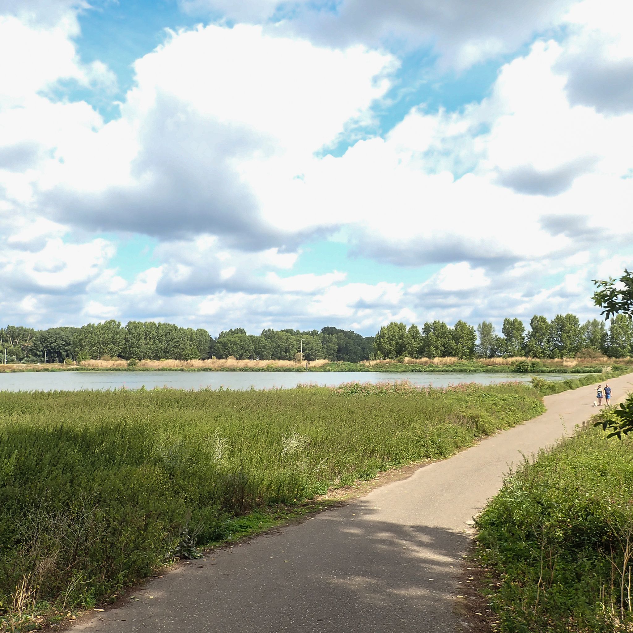
The Roer flows into the Meuse near Roermond in the Netherlands (Limburg province)
6
2


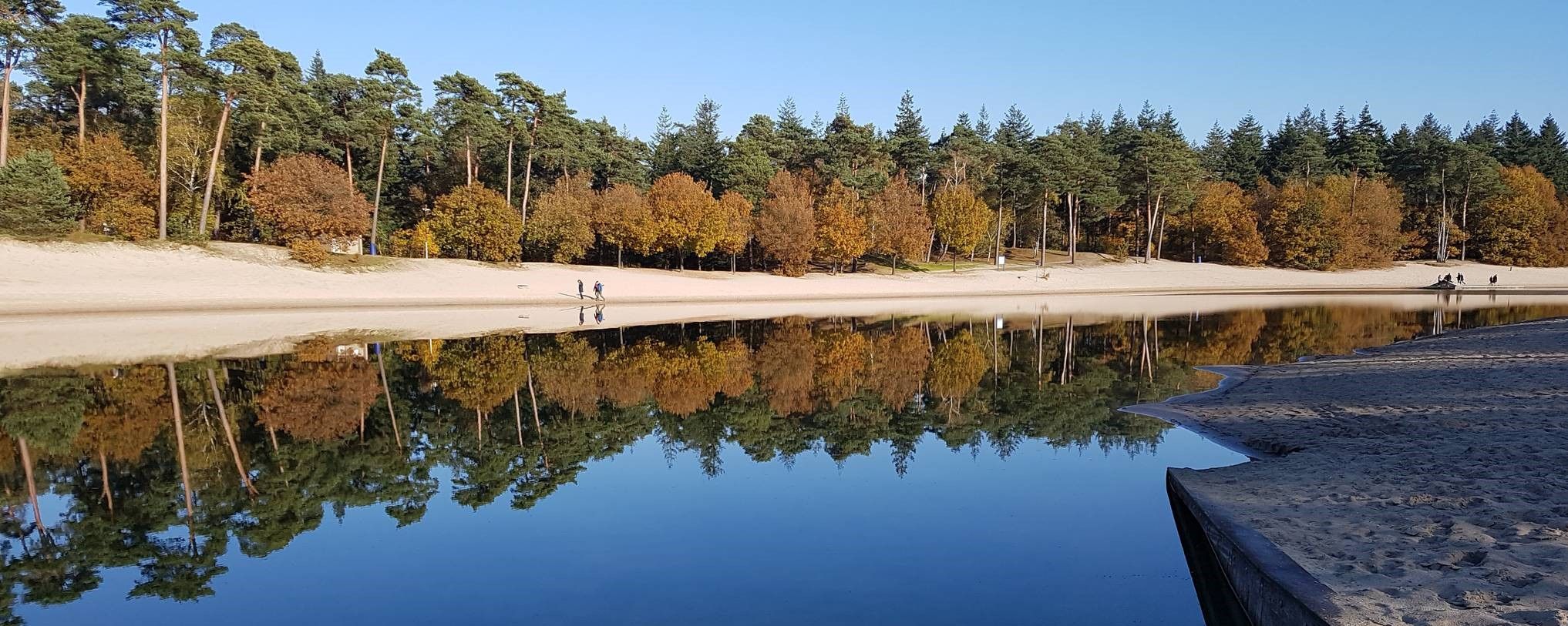
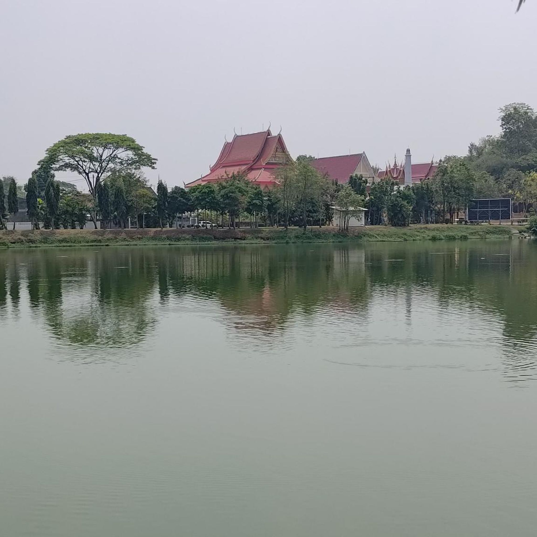
The Oolderplas is a former quarry lake with a depth of up to 37 metres.
2
1

The very large lake has a maximum depth of 32 meters and has hardly any aquatic plants. The lake is a wintering area for water birds: Red-backed diver, red-throated diver and cormorant are observed there.
5
0
가시 주변에서 가장 인기 있는 명소


더 살펴보기
가시 주변의 최고의 동굴을 찾기 위해 이 가이드를 확인해보세요:
