굴펜-위템에서 가장 멋진 20개의 천연기념물
천연기념물을 방문하여 굴펜-위템의 아름다운 풍경을 만나보세요. 굴펜-위템에 있는 20
개의 천연기념물과 상세 정보를 살펴본 후에 방문하고 싶은 천연기념물을 다음 모험 계획에 추가해보세요!
마지막 업데이트: 10월 13, 2026
바알저베르크 삼국경계점
하이라이트 • 기념물
번역자 Google •
팁에 의해

베멜러베르그 오르막
하이라이트 (구간) • 등반
With the racing bike, it's all about dividing the effort. After the cornering, it's still climbing.
With the Tour bike, it's about finding a good rhythm and enjoying it.
번역자 Google •
팁에 의해

이런 장소를 발견하려면 지금 가입하세요
최고의 싱글 트랙, 봉우리 및 다양한 흥미로운 야외 장소에 대한 추천을 받아보세요.
게울을 따라 펼쳐진 마르 절벽
하이라이트 • 협곡
번역자 Google •
팁에 의해


브룬서머하이데 자연보호구역
하이라이트 • 자연 기념물
번역자 Google •
팁에 의해

무료로 가입하여 굴펜-위템 주변의 더 많은 자연 기념물을 발견하세요.
이미 komoot 계정이 있나요?
오늘 무료 계정으로 시작하세요
다음 모험이 기다리고 있어요.
굴펜-위템 주변 인기 장소
's-Hertogenbosch 에서 Maastricht (그리고 더 멀리) – 순례자의 길 제2부
The best of South Limburg by bike
이틀 동안 헤이벌란트 그래블 - Limburg200 Gravel
크라이트란드 경로 - 남 림부르크의 최고의 순간을 5단계에서 걷기
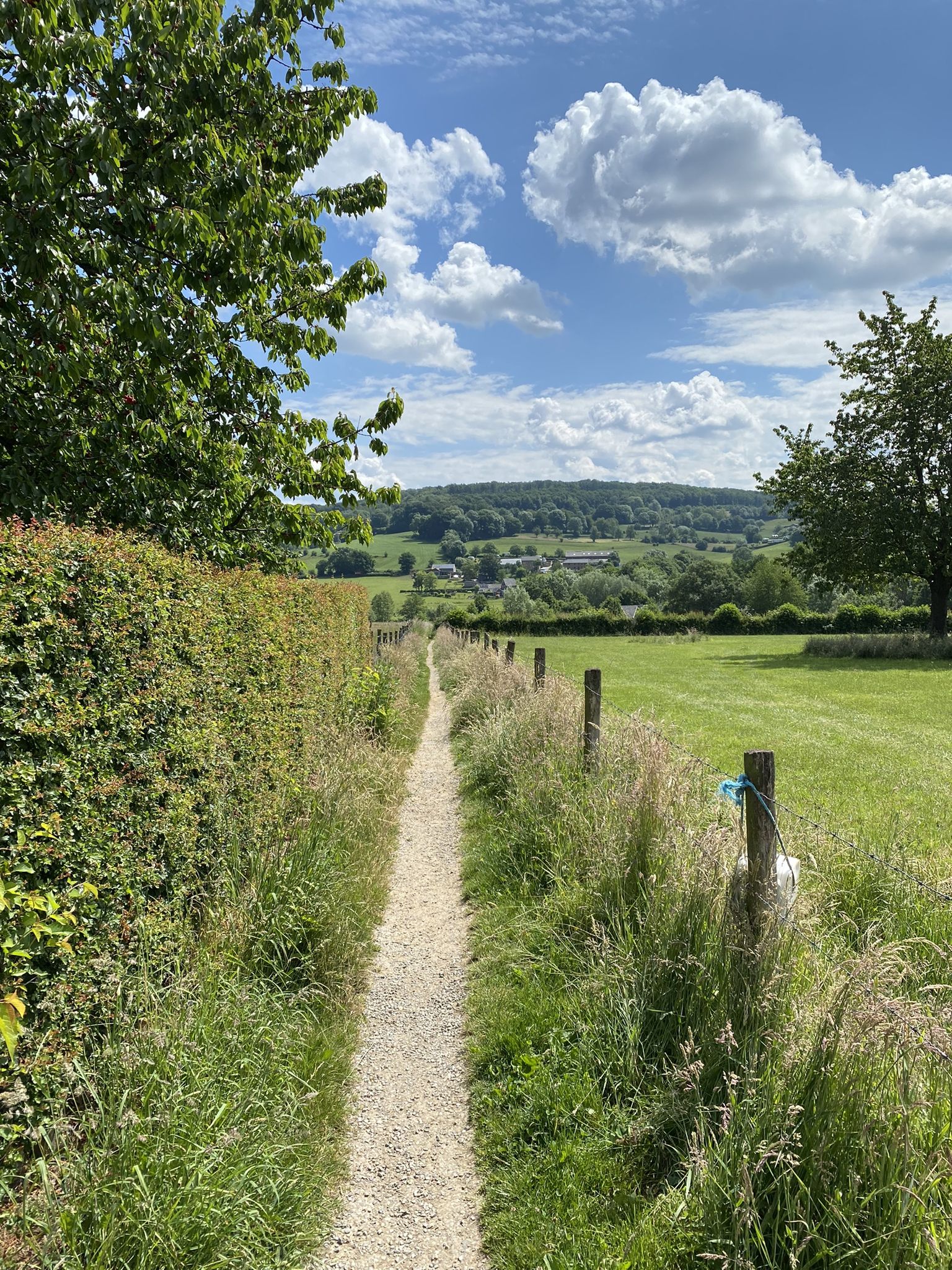
파도 치는 언덕에서 허벅지 운동 - 림부르크 10가지 트레일런
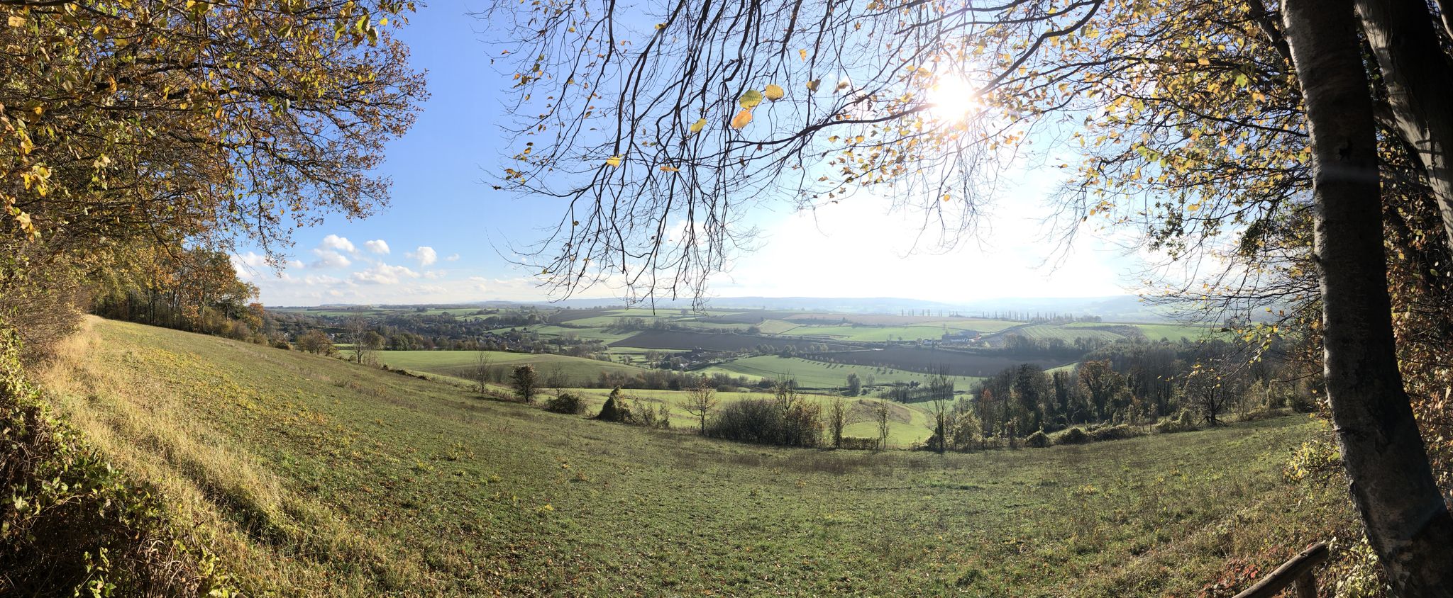
이리아 오를 화리 - 마바비스 제목
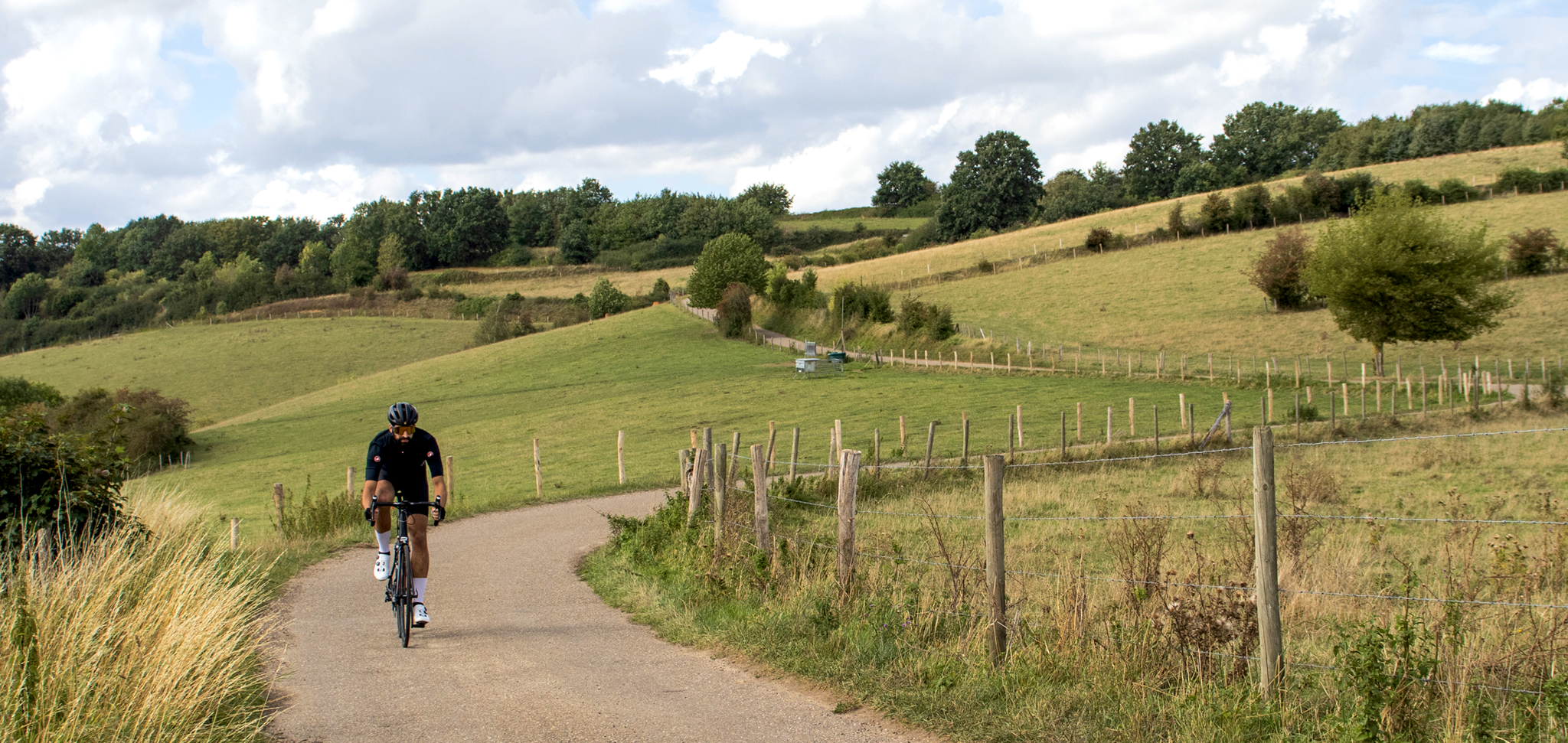
Cross-border cycling in South Limburg – the alternative routes
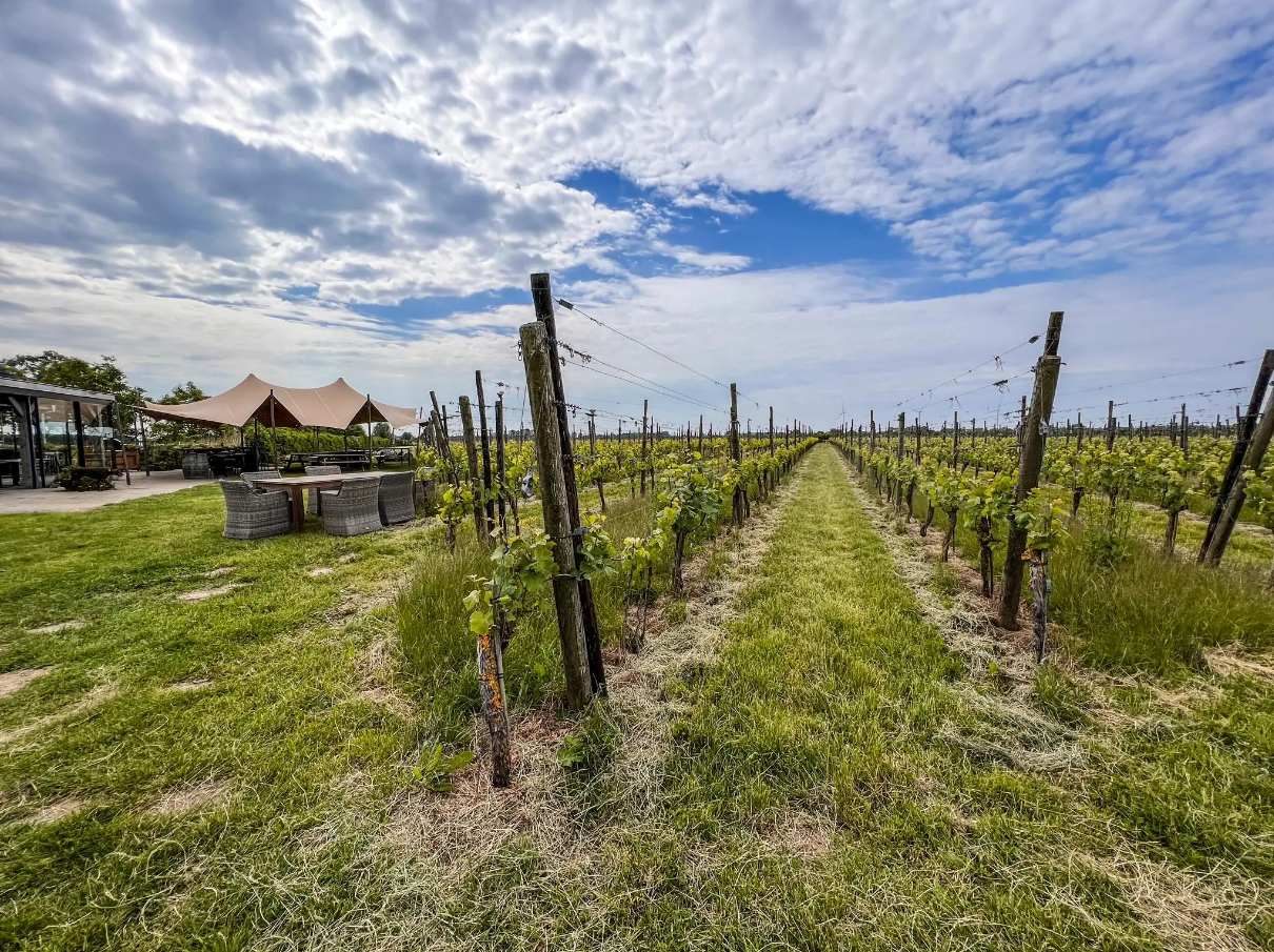
하이크 앤 와인 - 홀란드 전역의 와인 워킹
굴펜-위템 하이킹
굴펜-위템 사이클링
굴펜-위템 주변의 다른 모험


커뮤니티 팁

Along the rippling Geul River, an impressive marlstone wall rises, a silent witness to Limburg's underground landscape. These calcareous rocks were used for centuries for construction and crafts and now offer a fascinating sight for hikers and nature lovers. The wall forms a natural boundary along the water and, in some places, harbors small caves and niches where flora and fauna have found a home. The contrast of the white marl against the green foliage and the glistening water of the Geul makes this a particularly photogenic and tranquil spot during your walk.
0
0

Beautiful part of the walk along the Geul
0
0

When the path that has been running between slopes and sloping forest on one side and the Geul on the other side suddenly starts to rise a bit, you know what is coming: part of the marl crops out and offers you a glimpse of what you can discover if you take one of the paths away from the Geul: quarries and marl.
6
0


Along the Geul you will repeatedly come across steep slopes made of marl, which has been mined in this region for hundreds of years and is also used in Häuserbai. With a bit of luck you can find fossils.
4
0

It's been a long time since I've been up here on the big leaf. But it's always beautiful and part of almost every tour through the Mergelland.
4
0

The highest point in the Netherlands coincides with the three-country point and is an important tourist attraction.
21
0

As early as the late Middle Ages, the border of the former Aachen Empire, fortified with the Aachen Moat, ran from south to north across the ridge of the Vaalserberg. From 1839 to 1919, the Vaalserberg, with the disputed area of Neutral Moresnet as the fourth country, was even a four-country corner (Vierlandenpunt), which is still remembered in the name of the access road on the Dutch side - Viergrenzenweg. During the First World War, from 1915 to 1918, the high-voltage border barrier stretched along the Belgian-Dutch border for a length of 300 kilometers from the then four-country corner on the Vaalserberg to the Belgian North Sea coast near Knokke. The German invasion of Belgium in 1914 via Gemmenich to Diksmuide, which brought much suffering to the Belgian population, is commemorated by a memorial made of compressed war material at the southern tip of the Vaalserberg, called Via Dolorosa.
23
0
굴펜-위템 주변에서 가장 인기 있는 명소


더 살펴보기
굴펜-위템 주변의 최고의 동굴을 찾기 위해 이 가이드를 확인해보세요:
