위르트 최고의 MTB 라이딩 경로
4.2
(233)
1,731
자전거 타는 사람
127
라이딩
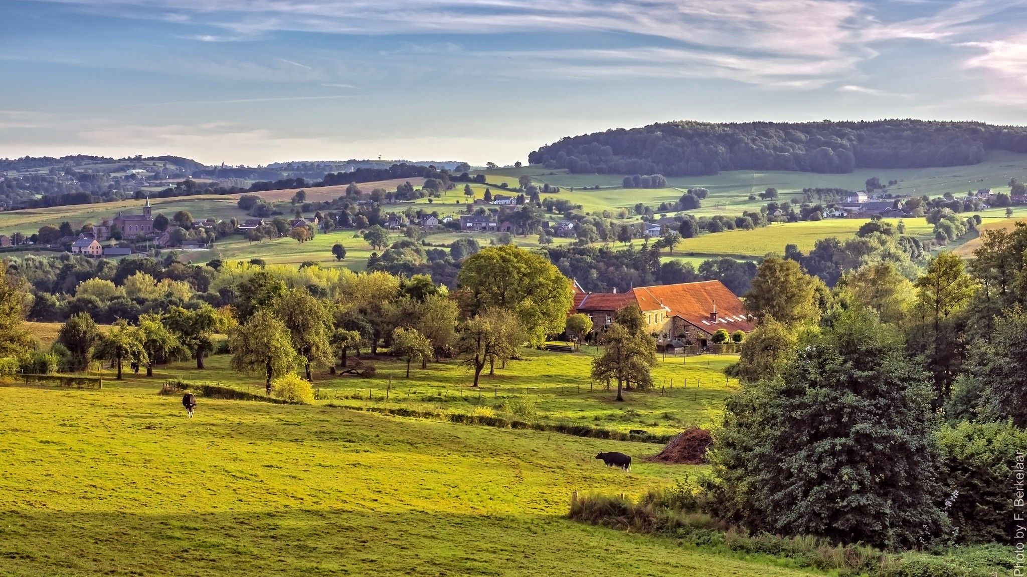
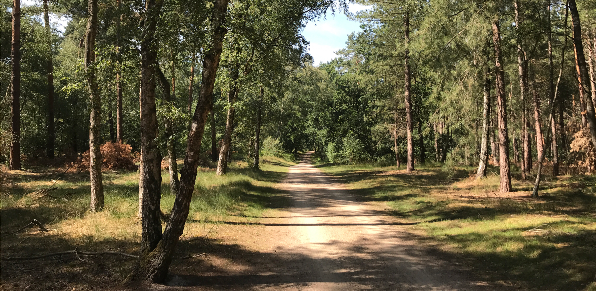
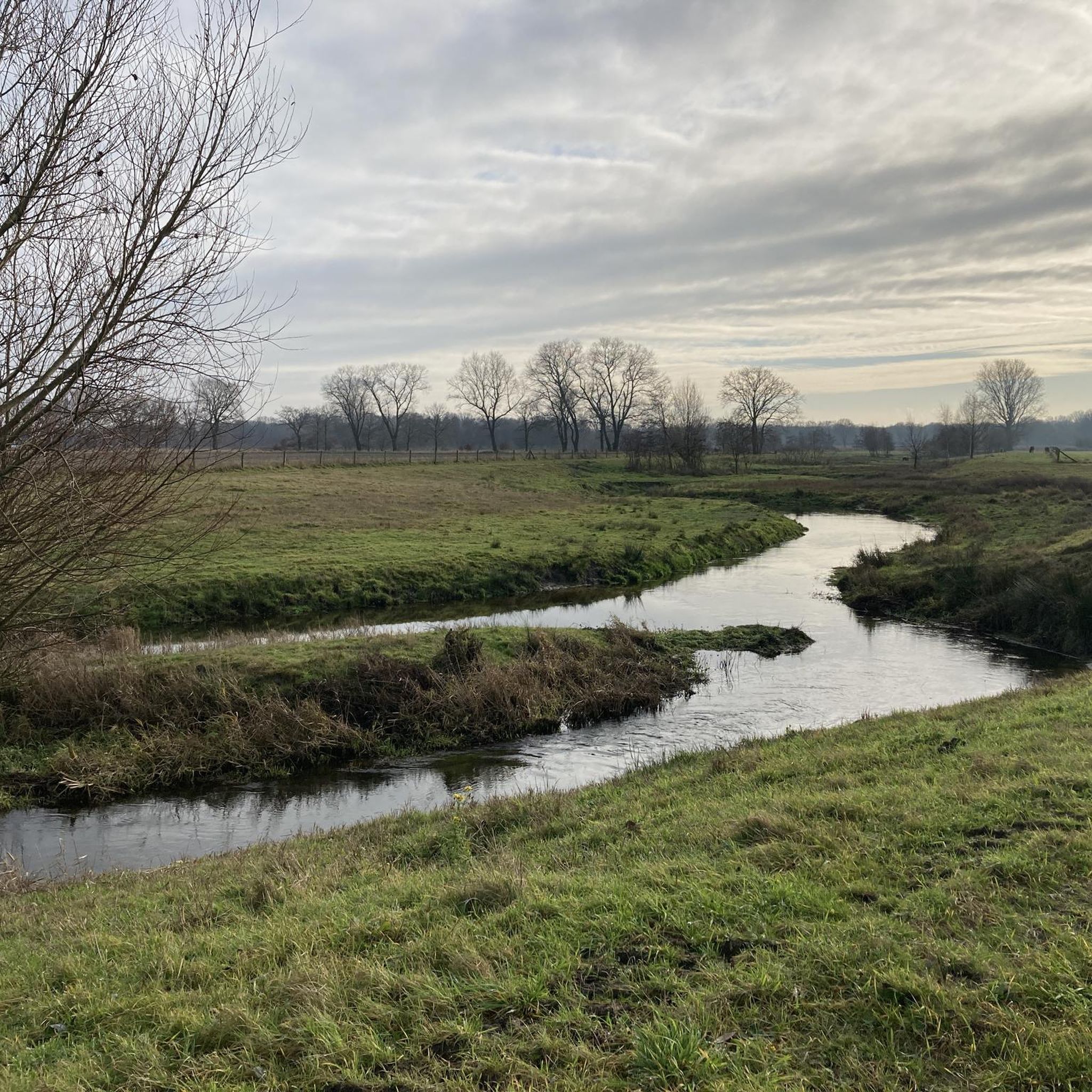
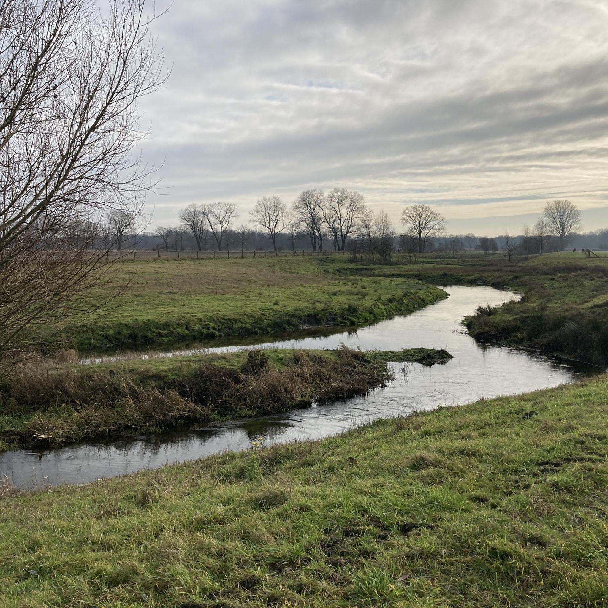
Weert 주변의 산악자전거 코스는 네덜란드 림뷔르흐 지역의 숲, 황야, 습지 및 계곡으로 이루어진 다양한 풍경을 가로지릅니다. 이 지역은 KempenBroek 국경 공원의 일부와 Weerterbos와 같은 자연 보호 구역을 포함한 자연적 특징이 혼합되어 있습니다. 고도 변화는 일반적으로 낮지만, 다양한 지형은 포장 및 비포장 도로, 모래길, 싱글트랙의 조합으로 역동적인 산악자전거 환경을 제공합니다.
Weert 주변 최고의 산악자전거 코스
- 가장 인기 있는 산악자전거 코스는 3시간 41분이 소요되는 52.4km(32.6마일) 길이의 Little Blue Lake – Weert에서 시작하는 Laurabossen 루프를 통과하는 숲길입니다. 이 코스는 그림 같은 Laurabossen을…
마지막 업데이트: 10월 23, 2026
4.0
(4)
151
자전거 타는 사람
60.5km
04:10
60m
60m
보통 산악 자전거 타기. 좋은 체력 필요. 실력과 관계없이 누구나 갈 수 있음.
3.8
(19)
141
자전거 타는 사람
51.8km
03:47
80m
80m
보통 산악 자전거 타기. 좋은 체력 필요. 뛰어난 라이딩 실력이 필요함.

4.5
(23)
143
자전거 타는 사람
50.9km
03:28
60m
60m
어려운 산악 자전거 타기. 좋은 체력 필요. 뛰어난 라이딩 실력이 필요함. 투어 중 자전거를 끌고 가야 하는 구간이 있을 수 있음.
4.4
(12)
91
자전거 타는 사람
38.1km
02:37
40m
40m
어려운 산악 자전거 타기. 좋은 체력 필요. 뛰어난 라이딩 실력이 필요함. 투어 중 자전거를 끌고 가야 하는 구간이 있을 수 있음.
4.3
(12)
57
자전거 타는 사람
27.5km
01:52
40m
40m
초급용 산악자전거 라이딩. 모든 체력 수준에 적합. 실력과 관계없이 누구나 갈 수 있음.
더 다양한 경로와 다른 탐험가들의 추천을 살펴보세요.
이미 komoot 계정이 있나요?
투어 추천은 다른 사람들이 komoot에서 완료한 수천 개의 활동을 바탕으로 구성되어 있습니다.



커뮤니티 팁

엘크를 볼 수 있는 훌륭한 장소입니다. 잘 만들어졌습니다.
0
0


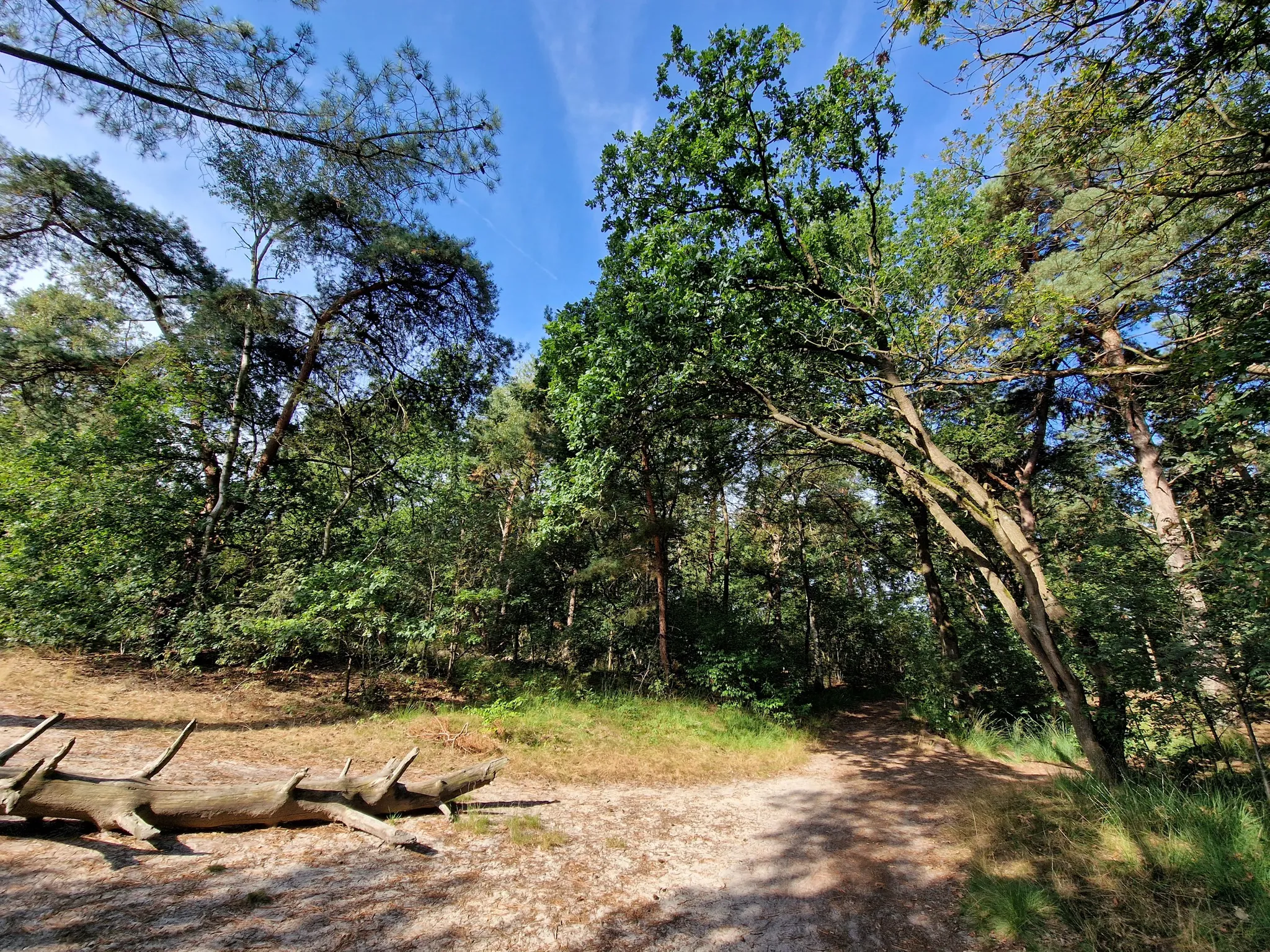
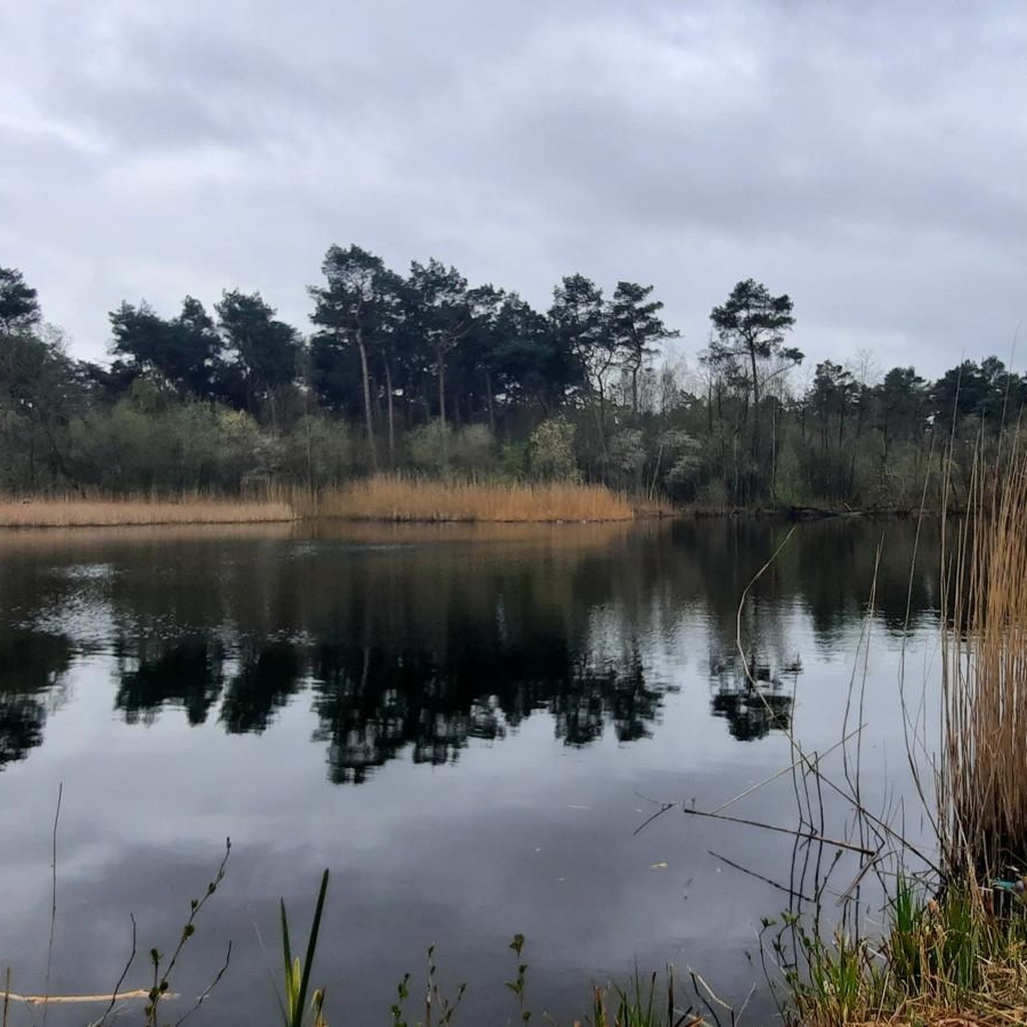
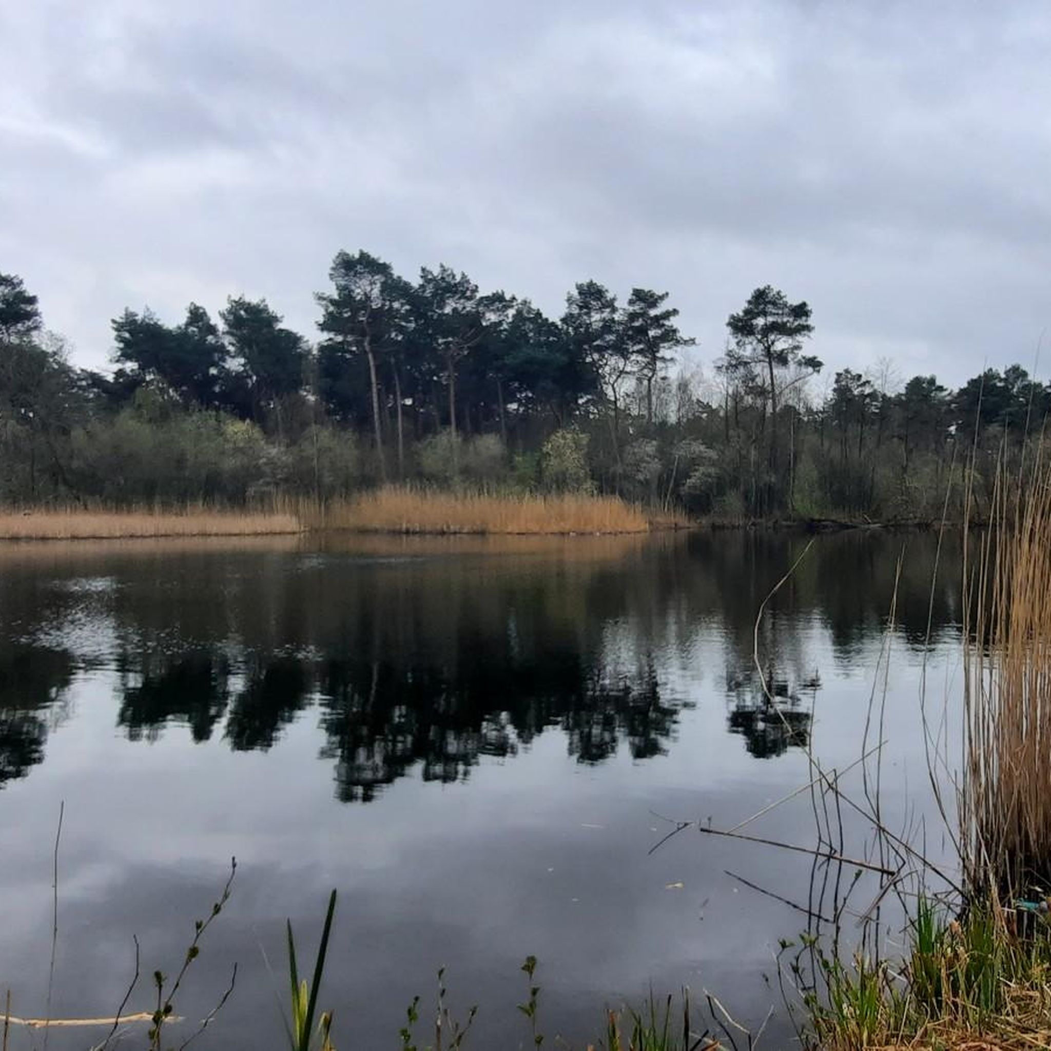
The formerly dull woodland area has undergone a metamorphosis and has consequently become very attractive for walking. The area has transformed into a beautiful landscape with forests, fens, and heathland. The area is grazed by various types of grazers such as horses, cows, sheep, and Scottish Highland cattle. In winter, crossbills can sometimes be found in the tops of the Norway spruces. They feast on the seeds from the cones. Various walking routes have been marked out in the area, ranging from 4 to 9 km. These are accessible from the parking lot near the Keelven on the Provincialeweg in Someren (address: Bosrandweg 6 Someren) and the De Vlerken parking lot on the road from Someren to Lierop. The area is included in the Someren walking, mountain bike, and equestrian route network.
1
0
On the edge of the Strabrechtse Heide lie the Somerense Bossen, including the area around the Keelven. The area features a beautiful fen landscape. The fens were formed by the wind blowing sand. Water remains in the fens thanks to the impermeable loam layer in the subsoil. The fens are fed exclusively by rainwater. From 1930 onwards, the heathland was reclaimed and turned into a production forest, primarily planted with Scots pine. Since the primary function for timber production (former mining) disappeared and the quality of the conifers is mediocre, the nature development project “Keelven and Surroundings” was started in 1998. The aim was to make the area more attractive for recreation and to restore the heathland landscape. To achieve this, 15 hectares of poorly growing conifers were cleared and several smaller fens were dredged.
1
0

monument also a resting place with a bench
1
0

Departure and arrival of our walk. Great terrace, fast service, and delicious food.
2
0

위르트 주변에서 가장 인기 있는 명소


더 살펴보기
다른 지역의 최고의 MTB 트레일를 살펴보세요.
