베르켄담 최고의 사이클링 경로
4.1
(277)
2,547
자전거 타는 사람
107
라이딩
베르켄담 최고의 사이클링 경로를 따라 지역을 둘러볼까요? 베르켄담에서 가장 멋진 자전거 라이딩 장소 중에서 가장 마음에 드는 라이딩을 선택해보세요.
마지막 업데이트: 10월 9, 2026
4.7
(69)
378
자전거 타는 사람
54.6km
03:09
60m
60m
보통 자전거 타기. 좋은 체력 필요. 대부분 포장된 지면. 실력과 관계없이 누구나 갈 수 있음.
4.9
(20)
137
자전거 타는 사람
11.4km
00:39
20m
20m
초급용 자전거 라이딩. 모든 체력 수준에 적합. 대부분 포장된 지면. 실력과 관계없이 누구나 갈 수 있음.

4.9
(28)
163
자전거 타는 사람
27.3km
01:34
30m
30m
초급용 자전거 라이딩. 모든 체력 수준에 적합. 대부분 포장된 지면. 실력과 관계없이 누구나 갈 수 있음.
4.8
(21)
147
자전거 타는 사람
11.0km
00:37
10m
10m
초급용 자전거 라이딩. 모든 체력 수준에 적합. 대부분 포장된 지면. 실력과 관계없이 누구나 갈 수 있음.
5.0
(11)
94
자전거 타는 사람
114km
06:28
140m
140m
어려운 자전거 타기. 우수한 체력 필요. 대부분 포장된 지면. 실력과 관계없이 누구나 갈 수 있음.
더 다양한 경로와 다른 탐험가들의 추천을 살펴보세요.
이미 komoot 계정이 있나요?
투어 추천은 다른 사람들이 komoot에서 완료한 수천 개의 활동을 바탕으로 구성되어 있습니다.
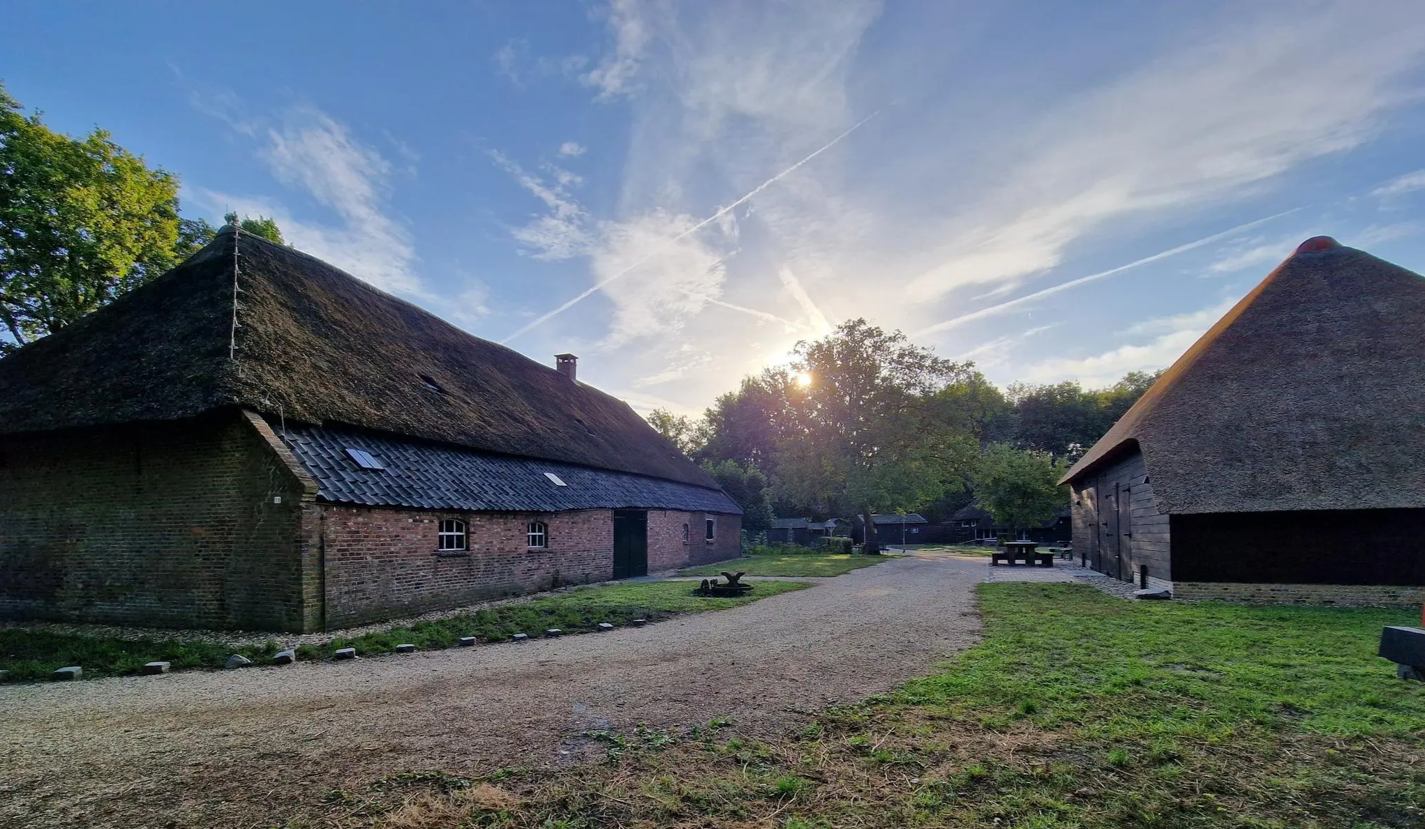
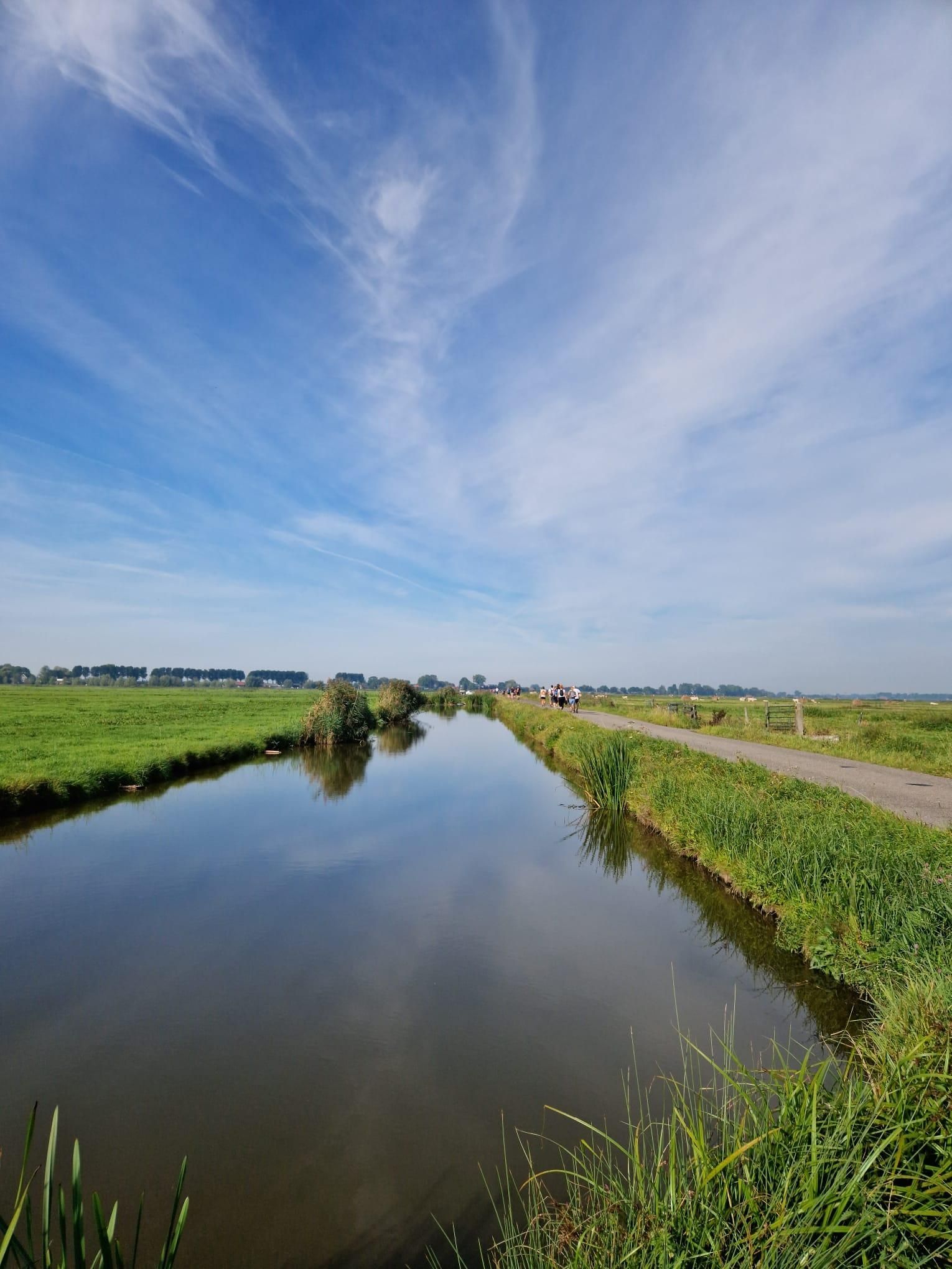
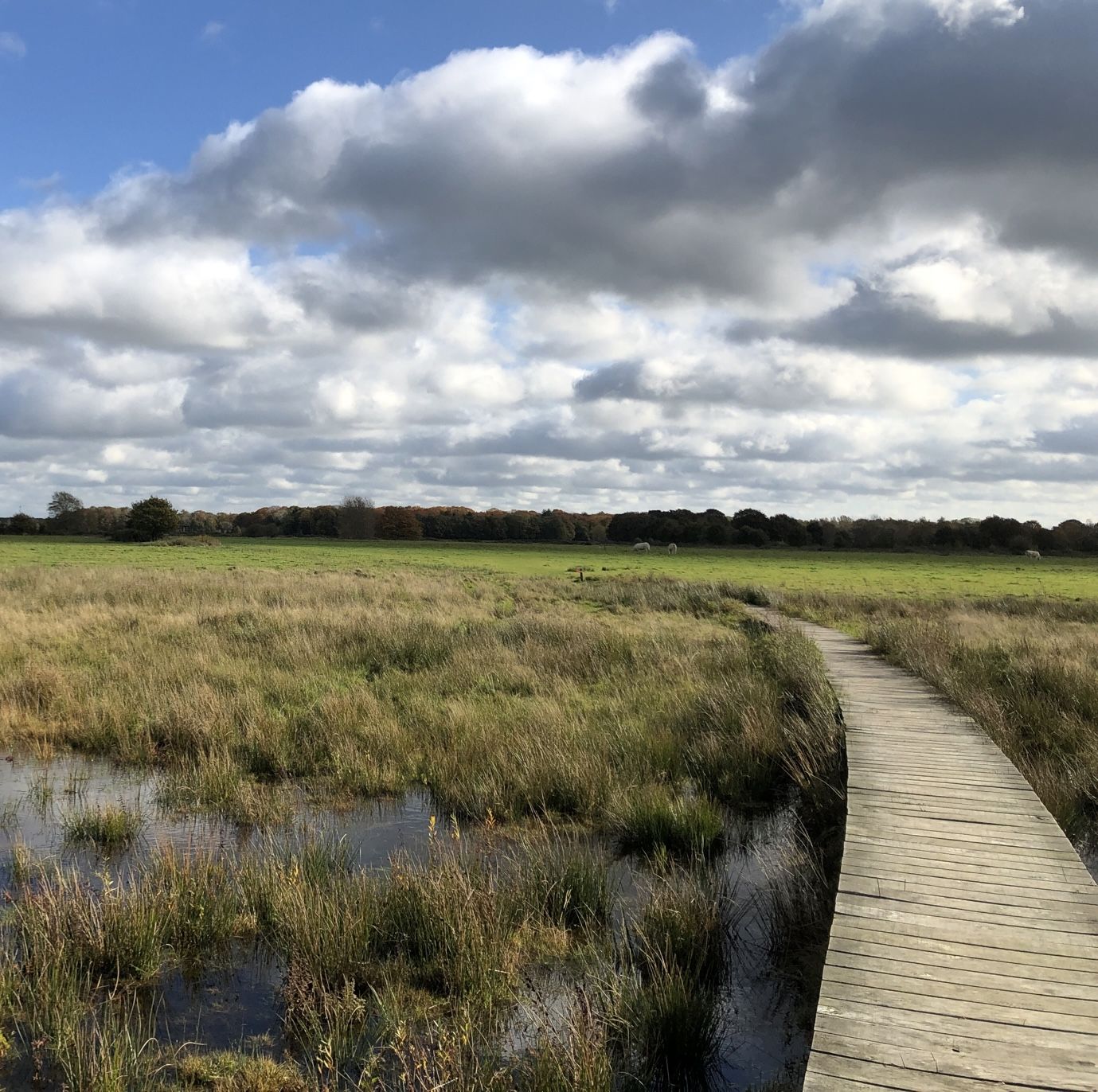
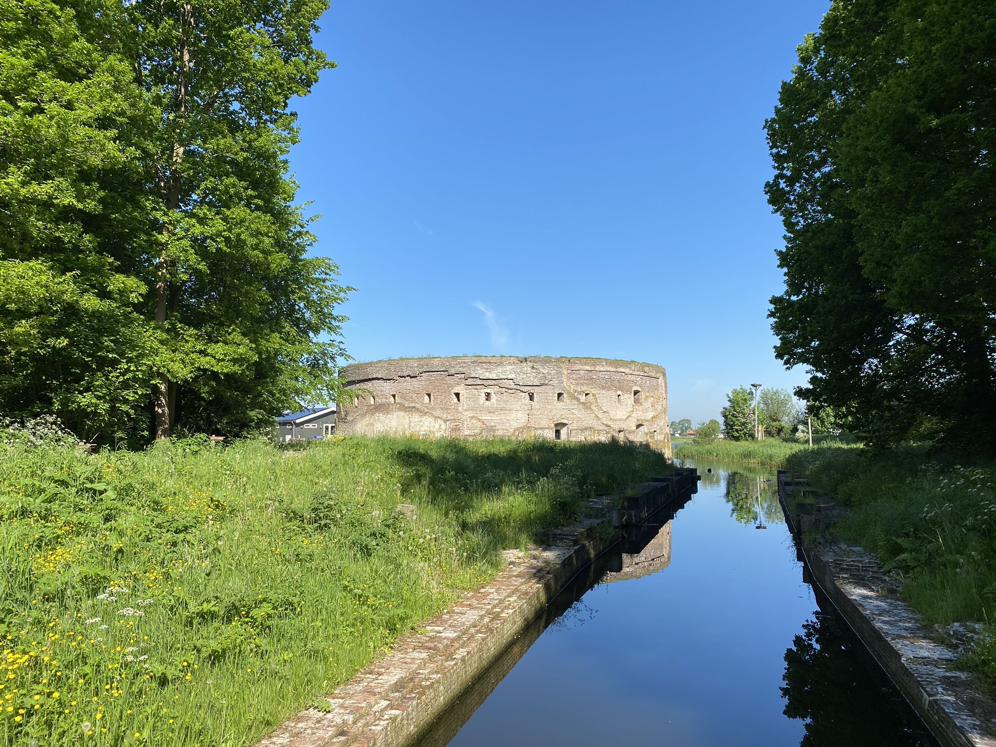
베르켄담 주변의 다른 모험


커뮤니티 팁

The Biesbosch was originally polder land, but after a storm surge, the area transformed into an inland sea. Water from the Maas and Waal rivers transformed it into a freshwater delta. Sand and river silt formed sandbanks, which were particularly suitable for rushes. Hence the name 'Biesbosch'. When the Haringvliet inlet was later closed off, the large differences between high and low tides disappeared. Nature was given free rein, and the area became wilder. Today, sea eagles and ospreys breed here again. A truly special sight!
1
0


Very beautiful nature reserve with many birds and wild horses.
2
0


There's plenty of flora and fauna to discover in the Biesbosch National Park. The park's museum and café are also a must-see. It's important to check the ferry service to Crezée in advance.
1
0

A very nice and relaxing route. How close can you cycle to a water kingdom? Stay here and enjoy life on and around the many waterfronts.
4
0
Fortified town Woudrichem, or Woerkum, as the residents call it, is the only town of the Biesboschlinie. In the 9th century, a market place was created on a riverbank. Today, this is where the Hoogstraat and the Molenstraat intersect. This place is still the heart of the fortified town. Historical context: History Woudrichem is strategically located at the confluence of the Maas and Waal, at the intersection of 3 provinces. The Land van Altena, to which Woudrichem belongs, belonged to the County of Holland from 1322. It was not until 1815 that it was incorporated into the new province of North Brabant. Woudrichem was granted city rights in 1356. In that year, the count's river toll from Niemandsvriend van Sliedrecht was also moved to Woudrichem. A few years later, the town also received fishing rights and flourished. The Martinuskerk and city walls date from this period. In 1420, the toll was moved to Gorinchem. This event, the St. Elizabeth's flood of 1421 and the many military conflicts in which the town was involved due to its location, caused the decline of the town. The many sieges have left their mark on Woerkum. In 1573, the Geuzen set fire to the town. They considered it indefensible. A new city wall was then built, which protected a smaller area than the old city wall had done. This city wall is the fortress wall that still encloses the center. In 1814, Woudrichem became part of the New Dutch Waterline. From that time on, no more building was allowed in the surrounding land. It was not until 1955 that the fortress was closed and new residential areas were built around the town. The historic city center is a protected cityscape. Source: https://biesboschlinie.com/zien-doen/bezichten/woudrichem/
5
0
Woudrichem is a tiny old fortified town in the northernmost point of North Brabant, where the rivers Maas and Waal meet. Pass through the city gates and you will be taken back in time by the charm of the town.
6
0
베르켄담 주변에서 가장 인기 있는 명소


더 살펴보기
다른 지역의 최고의 자전거 경로를 살펴보세요.
