로베타 최고의 워킹 & 하이킹 경로
4.6
(962)
5,397
등산객
72
하이킹
정확한 경로를 찾는 것이 때로는 어렵지만 로베타에서 하이킹을 하면 다양한 경치를 마음껏 감상할 수 있답니다. 로베타에서 가장 멋진 하이킹과 워킹 중에서 마음에 드는 활동을 시작해보세요.
마지막 업데이트: 10월 10, 2026
4.3
(20)
110
등산객
15.8km
05:58
960m
960m
어려운 하이킹. 우수한 체력 필요. 대부분 갈 수 있는 길. 미끄러지지 않게 조심해야 함.
4.8
(12)
96
등산객
9.42km
03:46
600m
600m
Stream-side forest trail through Valzurio leading to panoramic views of Presolana from historic Rifugio Rino Olmo.

13.4km
07:24
1,310m
1,310m
Alpine trail through working pastures and beech forests to a mountain pass connecting two pristine valleys.
10.0km
03:40
410m
410m
Hike the difficult Presolana Trek - Stage 5, a 6.2-mile route with 1350 feet of gain, offering diverse landscapes and a significant descent.
4.6
(48)
289
등산객
9.09km
03:21
580m
580m
보통 하이킹. 좋은 체력 필요. 대부분 갈 수 있는 길. 미끄러지지 않게 조심해야 함.
더 다양한 경로와 다른 탐험가들의 추천을 살펴보세요.
이미 komoot 계정이 있나요?
투어 추천은 다른 사람들이 komoot에서 완료한 수천 개의 활동을 바탕으로 구성되어 있습니다.
오늘 무료 계정으로 시작하세요
다음 모험이 기다리고 있어요.


커뮤니티 팁

Il Möschel은 역사에 따르면 774년에 롬바르드 공작 Alano의 군대와, 그를 Valle di Scalve 계곡을 따라 추격했던 카롤루스 대제의 군대의 일부 사이에 벌어진 전투의 장소였습니다. 이 오두막들(5)은 같은 이름의 평원에 있는 작은 마을을 이룹니다. 반세기 전에는 여름 목축을 위한 석조 오두막이었습니다. 이제는 모두 고지대의 시골집으로 개조되었습니다. Il Möschel은 Passo dello Scagnello와 Rif. Albani로 가는, 그리고 Ferrantino와 Ferrante로 오르는 등산의 출발점입니다. 조금 전에 숲 속에 귀여운 비박지가 있습니다.
11
0


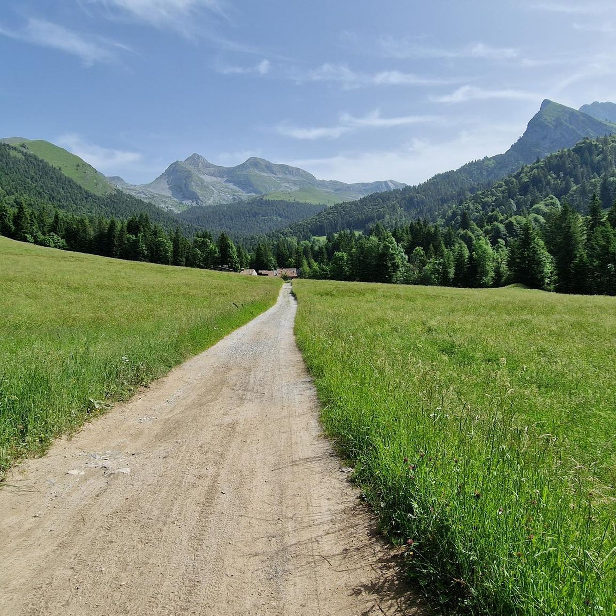
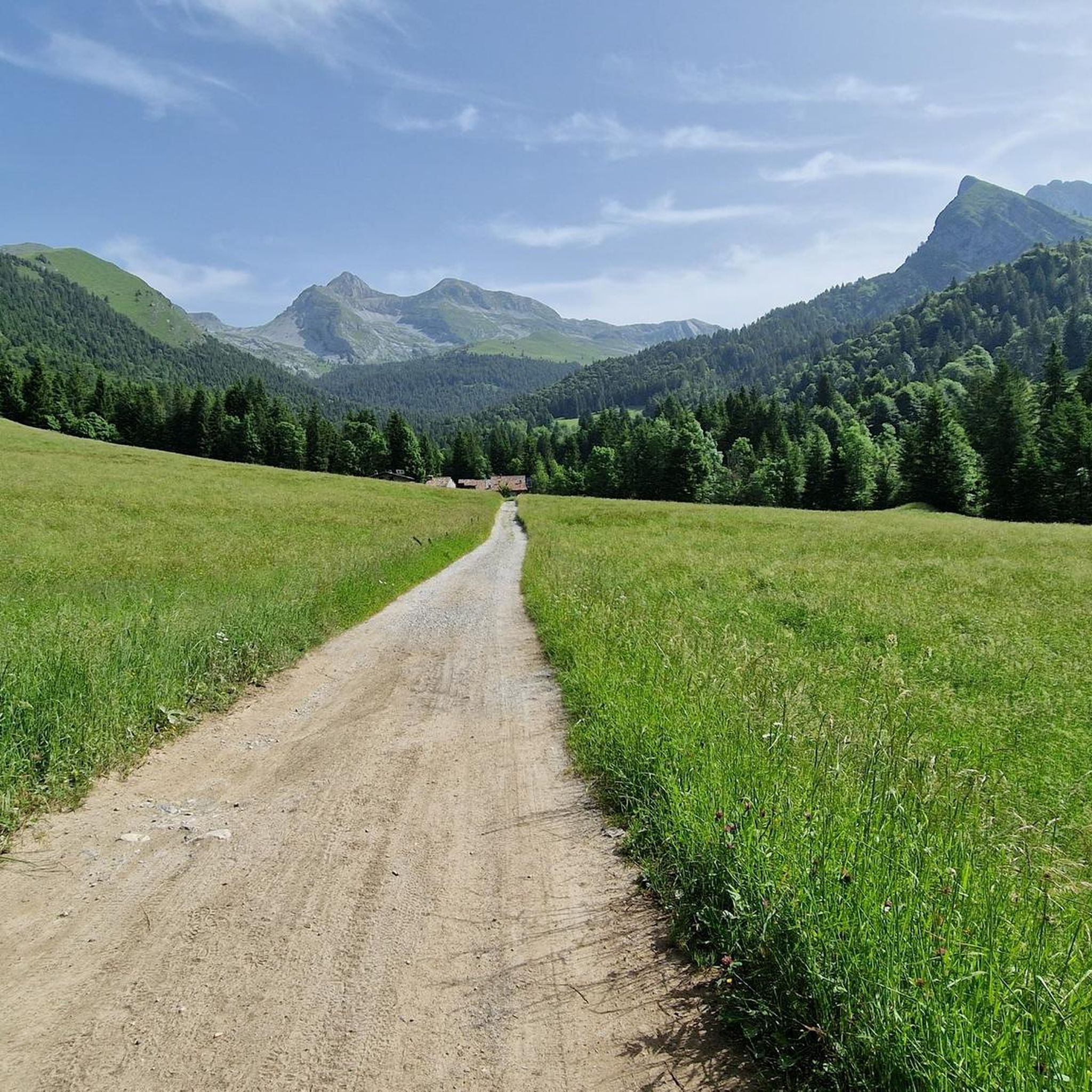
going up from the valley, arriving along the meadow that precedes the huts immersed in the greenery, it is all very impressive
1
0


Panoramic point. But I didn't find any more information online
0
0
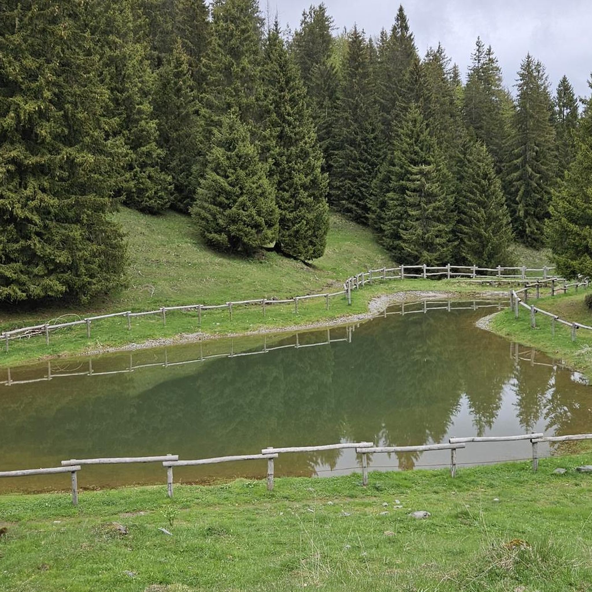
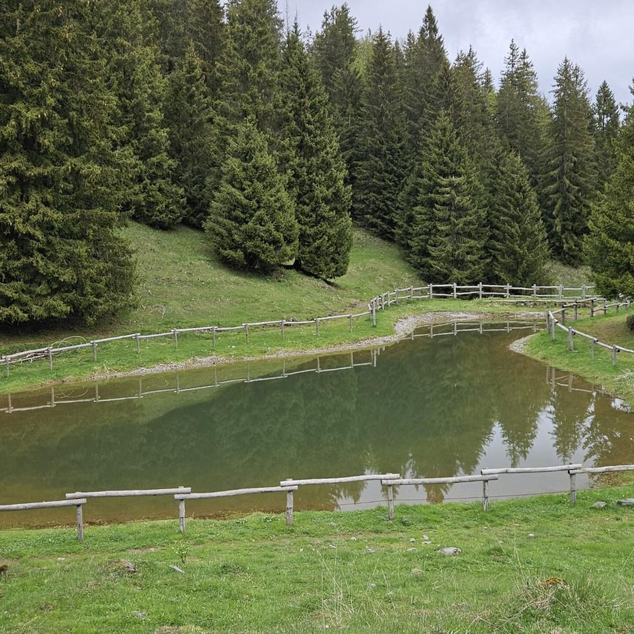
The Baite del Moschel are located in Valzurio, a splendid valley in the Val Seriana, in the province of Bergamo. They are a group of six huts located at 1265 meters above sea level, immersed in a natural amphitheater of meadows, woods and crystal-clear water springs2. The hike to reach them is easy and suitable for everyone, with a difference in altitude of about 315 meters and a travel time of about 2 hours. The simplest route starts from the Spinelli area, where you can leave your car and follow a comfortable dirt road. A more adventurous alternative is the CAI 340 trail, which goes up the Ogna stream through beech and maple woods. Along the way you will come across the Fopa Fosca, a curious source of cold air that was once used to preserve milk and cheese. Just before arriving at the huts, you can visit the Buco del Freddo, a stone construction that served as a natural refrigerator. Once you reach the huts, you can stop for a picnic and enjoy the tranquility of the place. In the past, this area was used for the extraction of barite, a precious mineral
1
0


더 살펴보기
다른 지역의 최고의 하이킹를 살펴보세요.
