로베타 최고의 등산 경로
4.5
(14)
75
등산객
9
하이킹
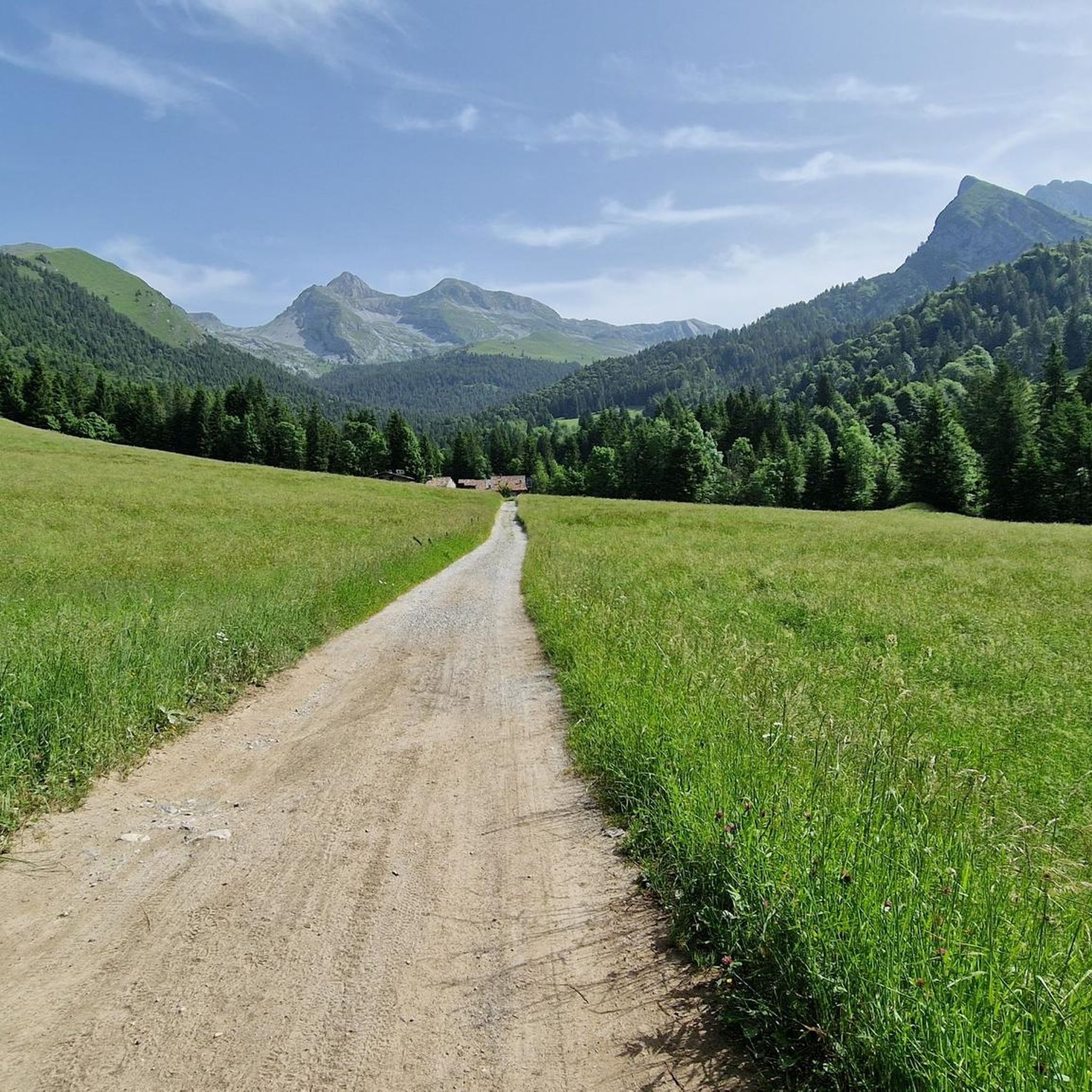
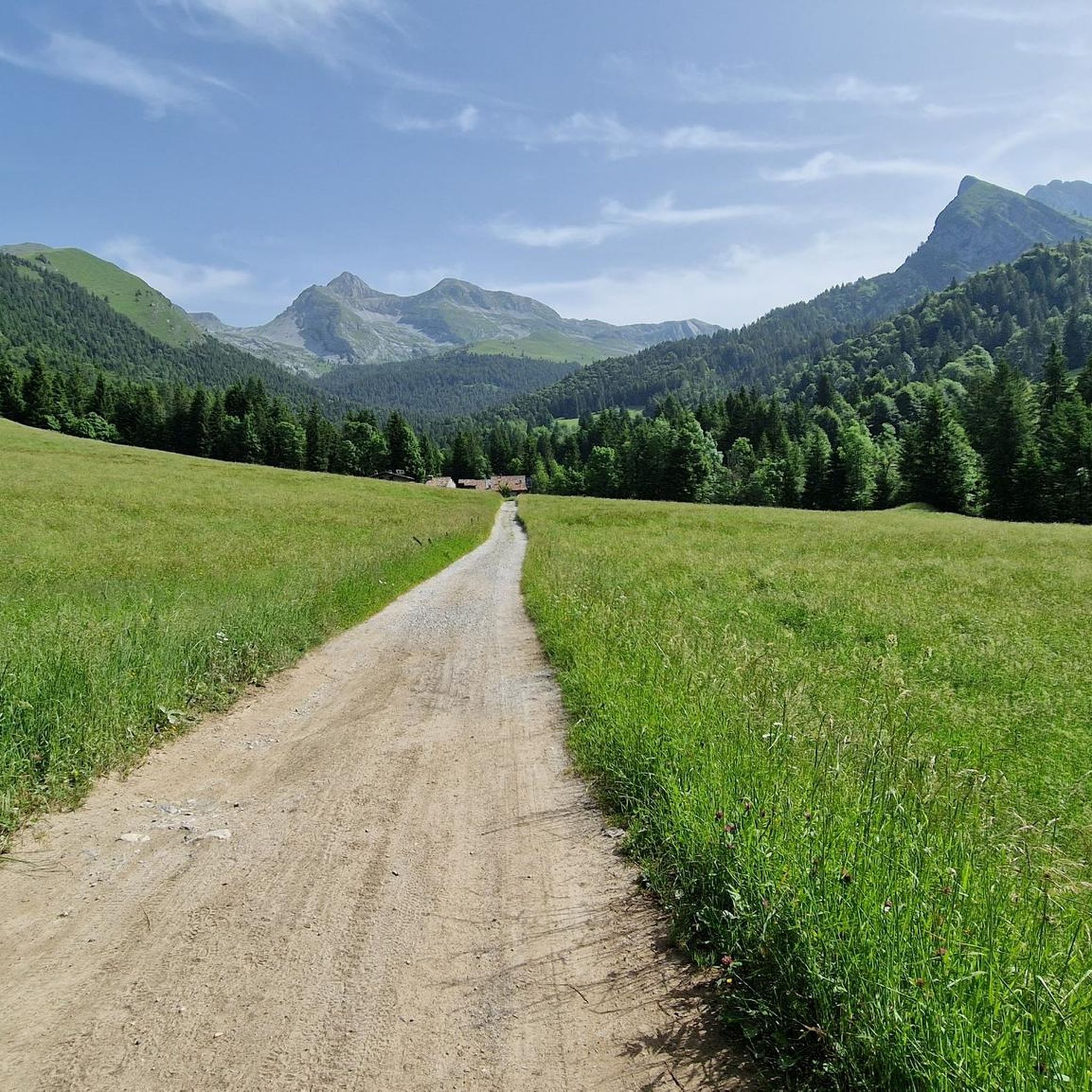
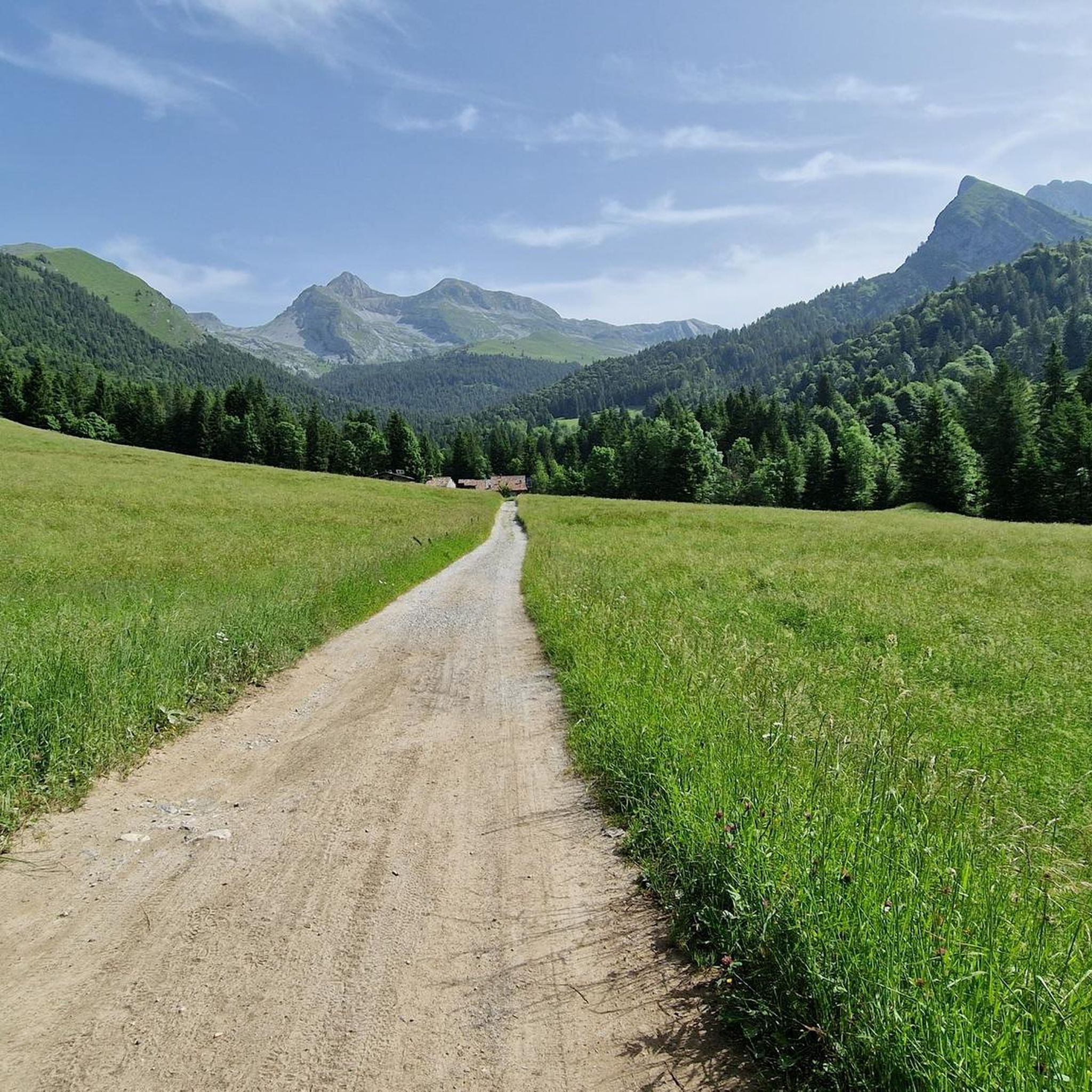
이탈리아 세리아나 계곡에 자리한 로베타 주변의 등반은 베르가모 알프스의 다양하고 도전적인 풍경을 제공합니다. 이 지역은 "오로비의 여왕"으로 자주 불리는 피초 델라 프레솔라나와 같은 유명한 석회암 봉우리와 광범위한 고산 트레일 네트워크가 특징입니다. 이 루트들은 험준한 지형, 울창한 숲, 탁 트인 고산 초원을 가로지르며 상당한 고도 상승과 파노라마 전망을 제공합니다. 돌로미틱 또는 컴팩트 석회암과 같은 이 지역의 지질은 등반가에게 훌륭한 홀드를 제공하고 등반가에게 다양한 도전을 선사합니다.
로베타 주변 최고의 등반 루트
- 가장 인기 있는 등반 루트는 발본디오네에서 출발하는 리푸르지오 마리오 메렐리 알…
마지막 업데이트: 10월 8, 2026
3.6
(5)
13
등산객
9.88km
04:48
920m
920m
어려운 등산 코스. 우수한 체력 필요. 튼튼한 신발을 신고 미끄러지지 않게 조심해야 하며, 높은 산을 오른 경험이 있어야 함.
6
등산객
11.5km
05:04
860m
860m
어려운 등산 코스. 우수한 체력 필요. 튼튼한 신발을 신고 미끄러지지 않게 조심해야 하며, 높은 산을 오른 경험이 있어야 함.

5.0
(1)
6
등산객
16.7km
07:42
1,280m
1,280m
어려운 등산 코스. 우수한 체력 필요. 튼튼한 신발을 신고 미끄러지지 않게 조심해야 하며, 높은 산을 오른 경험이 있어야 함.
4.3
(3)
9
등산객
20.9km
08:48
1,510m
1,510m
어려운 등산 코스. 우수한 체력 필요. 튼튼한 신발을 신고 미끄러지지 않게 조심해야 하며, 높은 산을 오른 경험이 있어야 함.
6
등산객
13.9km
07:58
1,470m
1,460m
어려운 등산 코스. 우수한 체력 필요. 튼튼한 신발을 신고 미끄러지지 않게 조심해야 하며, 높은 산을 오른 경험이 있어야 함.
더 다양한 경로와 다른 탐험가들의 추천을 살펴보세요.
이미 komoot 계정이 있나요?
투어 추천은 다른 사람들이 komoot에서 완료한 수천 개의 활동을 바탕으로 구성되어 있습니다.
오늘 무료 계정으로 시작하세요
다음 모험이 기다리고 있어요.
커뮤니티 팁

Coca 산장에 올라가는 길에 이 계단이 있습니다
0
0

커버 요금 1€ 추가 빵 1€ 보리 수프 9€ 크림, 스페크, 졸라 치즈 뇨키 13€ 라구 파스타 12€ 폴렌타와 굴라시 또는 스페짜티노 16€
0
0


A passage that may frighten the less experienced but is safe and without major difficulties
1
0
Merelli Refuge at Coca: a rugged and fascinating place in the Orobie Alps The Mario Merelli Refuge at Coca, at 1,891 meters, is one of the most iconic spots in the Coca Valley. Dedicated to the Bergamo mountaineer Mario Merelli, it retains his spirit: essential, authentic, deeply rooted in the mountains. Its location is what immediately strikes you: a natural balcony leading to the basin of the Orobie Giants, dominated by Pizzo Coca, Redorta, Scais, and Porola, a cluster of peaks that creates an imposing and almost solemn amphitheater. The ascent from Valbondione The classic access starts from Valbondione, near the village of Grumetti. The trail climbs steeply from the start, gaining altitude with regular switchbacks. It's a route that many describe as steep but safe, challenging enough to give you a sense of the mountain without ever becoming technical or exposed. Once out of the forest, the valley opens up and the dark walls of the Coca appear; The final, more challenging stretch leads to the refuge, which suddenly appears on a panoramic hill. The effort is always rewarded: those who arrive speak of its astonishing beauty and a setting that remains in their hearts. A refuge that tells a story The Merelli is a base for climbing Pizzo Coca and for crossings to the Brunone and Curò refuges, but it is also a place of memory. Inside, you can feel the legacy of Mario Merelli, and the atmosphere is that of the refuges of old: simple, welcoming, and sincere. It is a refuge that is not reached by chance: it is reached with commitment, and perhaps for this very reason, it leaves a profound impression.
0
0
간델리노의 테치 알티에서 발 세도르니아로 올라가는 길에 만나는 산 카를로의 작은 예배당은 롬바르디아 전역에서 숭배받는 산 카를로 보로메오에게 헌정된 작은 알프스 신앙의 장소입니다. 그 기원은 민속 전통과 베르가모 계곡, 특히 17세기와 18세기에 보로메오 숭배가 널리 퍼져 있었던 것과 관련이 있습니다. 당시 많은 농촌 공동체는 질병, 기근, 자연 재해로부터 보호를 구하기 위해 예배당과 투표용지를 세웠습니다. 이 예배당은 테치 마을과 세도르니아 목초지를 연결하는 오래된 길을 따라 위치해 있으며, 목동, 농부, 나그네들이 반드시 지나가는 지점입니다. 바로 이 때문에 지역 사회는 이곳에 단순하고 돌로 된 작은 신성한 건물을 세워 목초지로 올라가는 사람들을 보호하는 표시로 삼고자 했습니다. 길에서 약간 높고 세도르니아 개울이 내려다보이는 위치는 알프스 투표 예배당의 전형적인 기능을 연상시킵니다. 즉, 길을 축복하고 계곡을 지키는 것입니다. 시간이 지남에 따라 이 작은 예배당은 간델리노와 테치 주민들의 정체성의 상징이 되었습니다. 오늘날에도 여전히 소중히 관리되고 있으며, 지역 문화 경로에 포함되어 있으며, 지역의 역사적 관심 지점 중 하나로 포함하는 관광 경로에서도 이를 확인할 수 있습니다.
0
0
The Spiazzi dell'Acqua Picnic Area is one of the most peaceful and pleasant spots in the Gandellino area, surrounded by greenery and perfect for a relaxing break before or after a hike. Located in an easily accessible clearing, it offers tables, natural shade, and a cool atmosphere thanks to the proximity to the water. It's a simple yet meticulously maintained spot, ideal for families, groups, or anyone looking to enjoy a quiet moment in nature. Its secluded location and wooded setting make it a small haven of peace, convenient to reach yet far from the noise.
0
0
자주 묻는 질문
로베타 주변에는 몇 개의 산악 루트가 있나요?
로베타 주변에는 10개 이상의 산악 루트가 있습니다. 이 지역은 험준한 지형으로 유명하며, 이 중 8개 루트는 어려움으로, 2개는 보통으로 평가됩니다.
로베타 근처 산악 루트에서는 어떤 종류의 풍경을 기대할 수 있나요?
로베타 근처 산악 루트는 험준한 지형, 울창한 삼림, 탁 트인 고산 초원을 포함한 다양한 풍경을 가로지릅니다. 피초 델라 프레솔라나와 같은 유명한 석회암 봉우리를 만나고, 오로비 알프스 전역의 장엄한 파노라마와 로베타 및 클루소네의 전망을 즐길 수 있습니다.
로베타의 루트에 대해 다른 산악인들은 어떻게 말하나요?
로베타의 산악 루트는 komoot 커뮤니티에서 높은 평가를 받고 있으며, 20개 이상의 리뷰에서 평균 4.5점의 점수를 받았습니다. 140명 이상의 산악인이 komoot를 사용하여 로베타의 다양한 지형을 탐험했으며, 종종 도전적인 오르막과 숨 막히는 경치를 칭찬했습니다.
숙련된 등반가를 위한 도전적인 산악 루트가 있나요?
네, 로베타는 도전적인 루트로 유명합니다. 예를 들어, 프레솔라나 고개에서 프레솔라나 디 카스티오네와 프레솔라나 오치덴탈레까지의 오르막은 상당한 고도 상승을 포함합니다. 또 다른 힘든 선택지는 간델리노에서 출발하는 스피고렐 봉우리 – 피초 디 페토 루프로, 16km 이상을 상당한 고도와 함께 이동합니다.
로베타 주변에 순환 산악 루트가 있나요?
로베타 지역의 많은 산악 루트는 루프로 설계되어 있어, 왔던 길을 되돌아가지 않고도 다양한 풍경을 제공합니다. 한 예로 콜레레에서 출발하는 몬테 페란테 봉우리 – 코르나 젬엘레 루프는 18.5km의 도전적인 루트입니다.
로베타의 산악 루트에서 어떤 자연 지형이나 랜드마크를 볼 수 있나요?
산악 루트는 종종 멋진 자연 지형으로 이어집니다. 극적인 프레솔라나 지역, 코카 호수와 같은 아름다운 호수를 만나거나 다양한 봉우리에서 광활한 전망을 즐길 수 있습니다. 글레노 댐과 호수는 더 넓은 지역의 또 다른 주목할 만한 명소입니다.
루트 주변에 산장이나 대피소가 있나요?
네, 휴식 장소나 숙박 장소로 이용할 수 있는 산장이 있습니다. 카시넬리의 카를로 메디치 대피소는 프레솔라나 지역 루트와 자주 연관되는 그러한 산장 중 하나입니다. 산 루초 산장에서도 로베타와 클루소네의 전망을 제공합니다.
로베타에서 산악 등반하기 가장 좋은 시기는 언제인가요?
로베타에서 산악 등반하기 가장 좋은 시기는 일반적으로 늦봄부터 초가을(5월~10월)까지이며, 이때는 날씨가 일반적으로 더 안정적이고 등산로에 눈이 없습니다. 특히 고지대의 경우 항상 현지 날씨 조건과 등산로 상태를 확인하고 출발하십시오.
로베타에 초보자를 위한 쉬운 산악 옵션이 있나요?
로베타 주변의 대부분 루트는 어려움으로 평가되지만, 몇 가지 보통 난이도의 옵션이 있습니다. 이러한 루트는 여전히 좋은 체력을 요구하지만, 가장 어려운 오르막보다 기술적으로 덜 까다롭습니다. 루트를 선택하기 전에 항상 자신의 체력과 경험을 평가하는 것이 좋습니다.
로베타의 산악 루트에 개를 데려갈 수 있나요?
일반적으로 이탈리아 알프스의 많은 등산로에 개를 데려갈 수 있지만, 특히 보호 구역이나 가축 근처에서는 반드시 목줄을 착용해야 합니다. 개를 데려가기 전에 항상 특정 등산로 규정이나 공원 규칙을 확인하고, 험준한 지형에 충분히 적합한지 확인하십시오.
로베타에 가족 친화적인 산악 루트가 있나요?
로베타의 대부분 산악 루트는 도전적인 성격과 상당한 고도 상승 때문에 일반적으로 어린이나 경험이 없는 하이커에게는 가족 친화적이지 않습니다. 그러나 힘든 산악 하이킹에 익숙한 나이가 있고 경험이 있는 자녀가 있는 가족은 일부 보통 난이도의 루트가 적합하다고 생각할 수 있습니다.
로베타 지역에 장거리 산악 루트가 있나요?
네, 일부 루트는 더 긴 탐험에 적합한 장거리 및 장시간 코스를 제공합니다. 예를 들어, 콜레레에서 출발하는 몬테 페란테 봉우리 – 코르나 젬엘레 루프는 18.5km 이상이며 완료하는 데 거의 8시간이 걸려 상당한 도전을 제공합니다.


더 살펴보기
다른 지역의 최고의 산악 하이킹 & 경로를 살펴보세요.
