라니카 최고의 워킹 & 하이킹 경로
4.2
(331)
2,847
등산객
38
하이킹
정확한 경로를 찾는 것이 때로는 어렵지만 라니카에서 하이킹을 하면 다양한 경치를 마음껏 감상할 수 있답니다. 라니카에서 가장 멋진 하이킹과 워킹 중에서 마음에 드는 활동을 시작해보세요.
마지막 업데이트: 8월 30, 2026
3.5
(2)
7
등산객
21.5km
07:08
930m
930m
Hike the difficult Alta Via delle Grazie - Stage 1, a 13.4-mile route with 3041 feet of gain through the Orobic Prealps, taking 7 hours.
4.2
(17)
93
등산객
11.3km
03:35
450m
450m
보통 하이킹. 좋은 체력 필요. 실력과 관계없이 누구나 쉽게 갈 수 있는 길.

무료 회원 가입
4.4
(5)
34
등산객
13.0km
04:30
620m
620m
보통 하이킹. 좋은 체력 필요. 대부분 갈 수 있는 길. 미끄러지지 않게 조심해야 함.
4.6
(5)
26
등산객
7.68km
02:10
150m
170m
보통 하이킹. 좋은 체력 필요. 실력과 관계없이 누구나 쉽게 갈 수 있는 길.
4.0
(1)
20
등산객
13.1km
04:07
460m
460m
보통 하이킹. 좋은 체력 필요. 대부분 갈 수 있는 길. 미끄러지지 않게 조심해야 함.
더 다양한 경로와 다른 탐험가들의 추천을 살펴보세요.
무료 회원 가입
이미 komoot 계정이 있나요?
투어 추천은 다른 사람들이 komoot에서 완료한 수천 개의 활동을 바탕으로 구성되어 있습니다.
오늘 무료 계정으로 시작하세요
다음 모험이 기다리고 있어요.
로그인 또는 가입하기

커뮤니티 팁

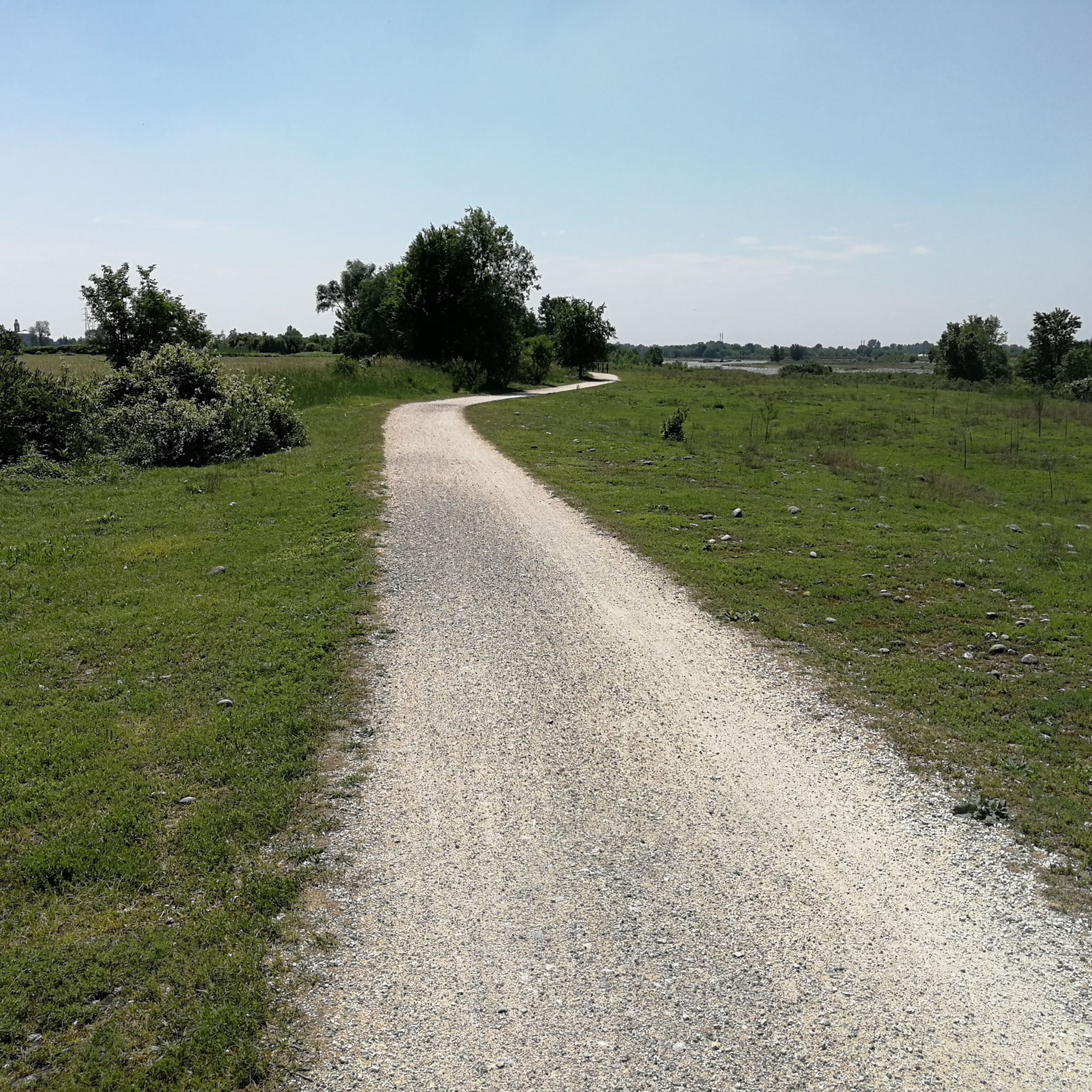
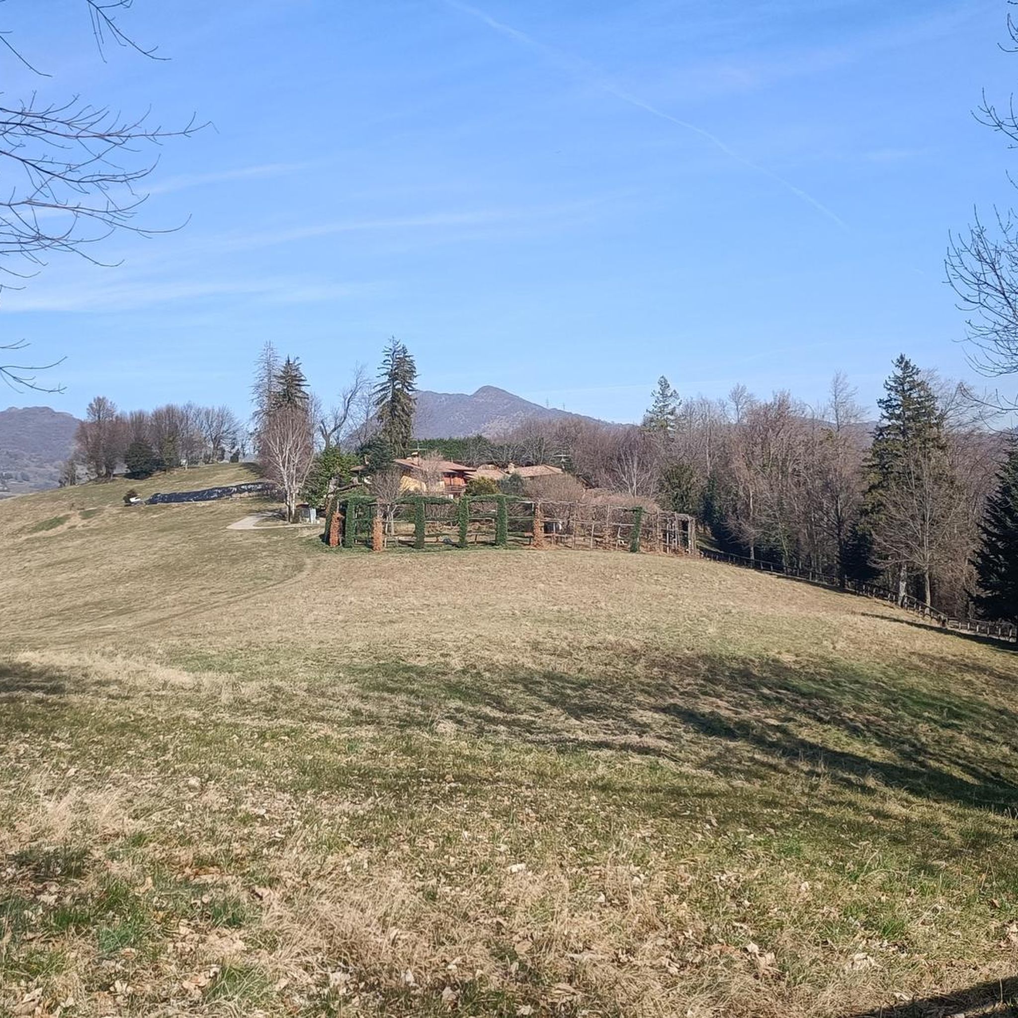
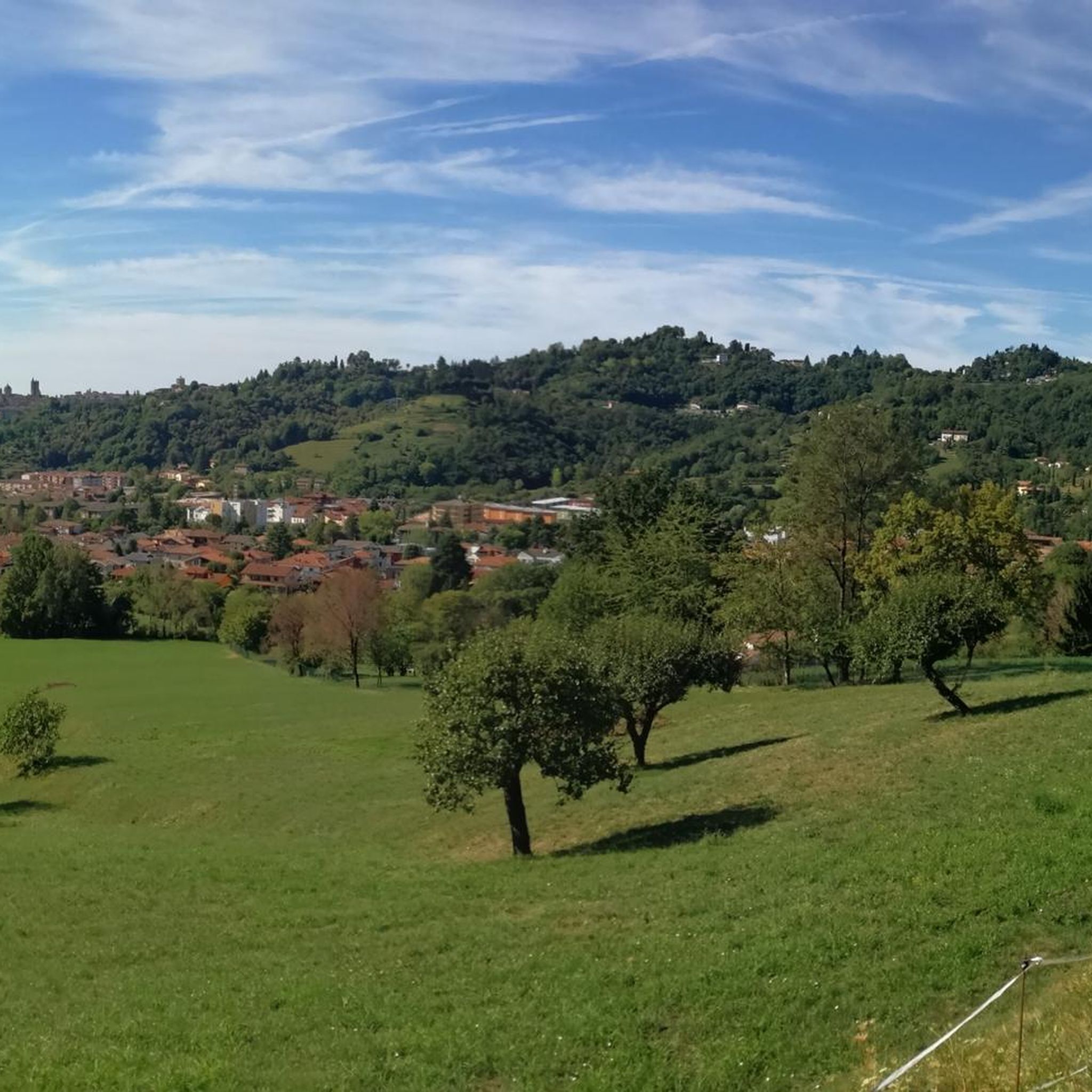
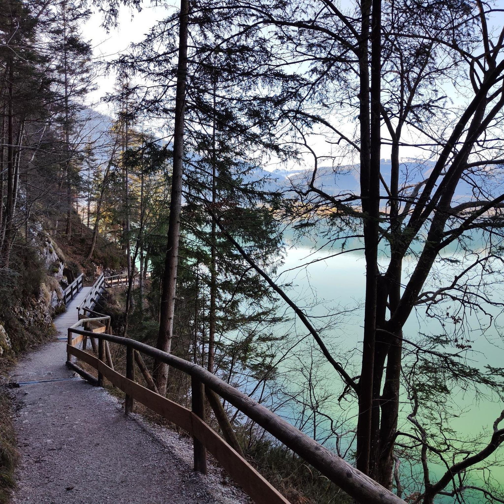
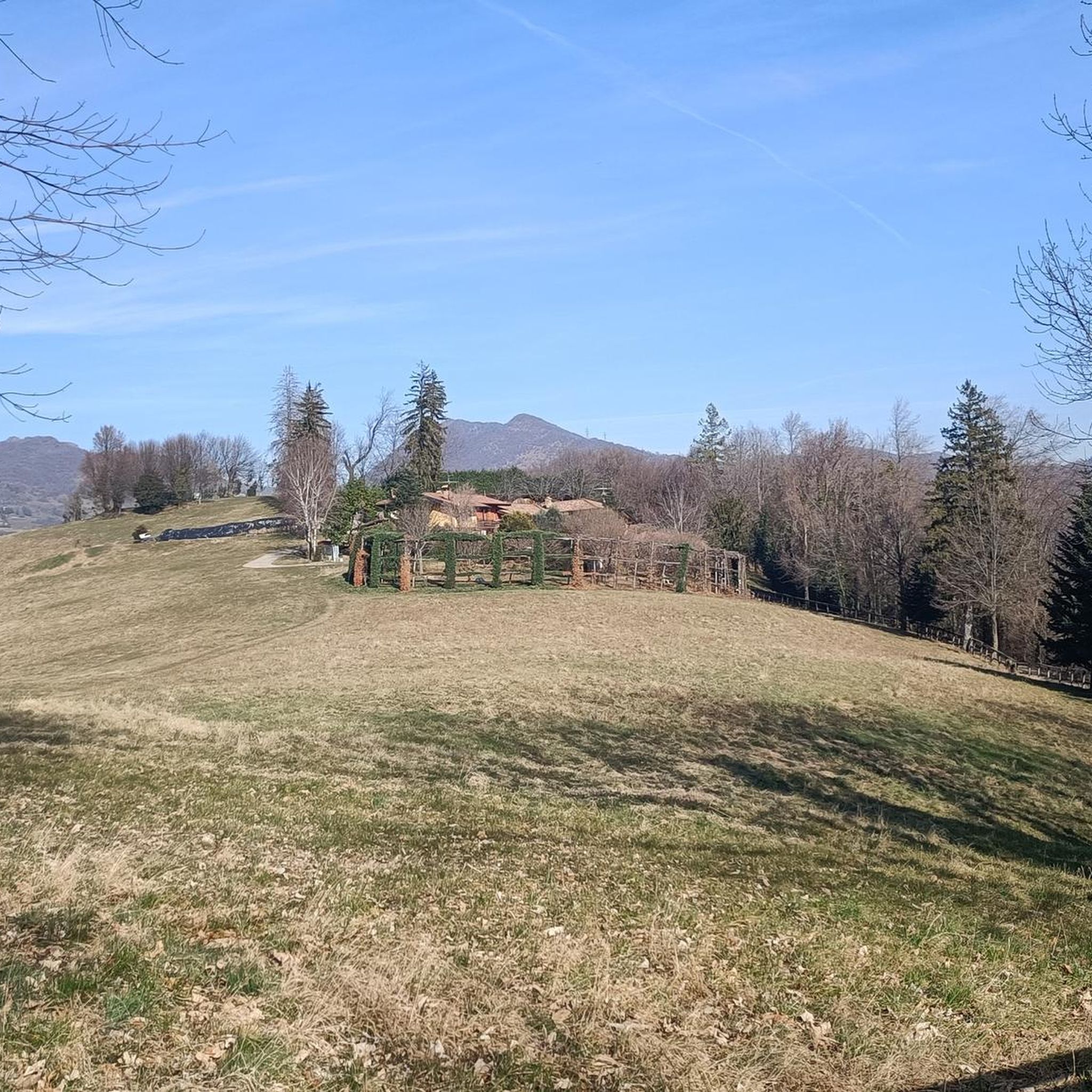
자동차로 편안하게 갈 수 있으며, 숲에는 다양한 간단하고 그늘진 산책로, 휴식을 위한 다양한 잔디밭과 테이블, 물 분수, 어린이를 위한 작은 놀이터, 베르가모의 멋진 전망, 훌륭한 레스토랑이 있습니다. 걷고 싶은 사람들을 위해 약 6km의 고도 300m의 고리 코스를 완료하여 4개의 십자가에 도달할 수 있습니다. 가족에게 완벽한 장소입니다. 더 이상 덧붙일 말이 필요 없을 것 같습니다. 좋은 하루 보내세요!
0
0


너무 힘들지 않고 매우 경치 좋은 즐거운 하이킹입니다.. 사냥을 위한 많은 새덫과 보스코네 산 십자가 앞에서 많은 등산객들과 함께하는 환영 미사가 있습니다.
0
0

Viewpoint overlooking Olera (BG) 674 meters above sea level
0
0

Today colle di ranica Colle di Ranica is a mountain located in the Parco dei Colli di Bergamo, in Lombardy. With an altitude of 726 meters, it is the highest peak of the Maresana group. It is a popular destination for hikers thanks to its trails immersed in the woods and the suggestive views of the Val Seriana and the Bergamo plain2. There are several routes to reach the summit, including the CAI trail 532, which starts from the small church of San Rocco in Ranica and winds through the woods. Another option is trail 606, which passes by the Croce del Boscone and offers a panoramic view of the area. If you are planning a hike, you can find more details on Komoot and other online guides1. Would you like to know more about a specific route? 😊 croce del boscone Croce del Boscone is a panoramic point located above Torre Boldone, in the province of Bergamo. It is easily accessible via hiking trails that start from various locations, including Maresana and Colle di Ranica. The cross dominates the valley and offers a spectacular view of the Bergamo plain. The route to reach it is suitable for everyone, including children, and is ideal for a relaxing walk immersed in nature. Furthermore, during Atalanta matches, you can even hear the stadium chants, making the experience even more unique2. If you want to plan a hike, you can find more details about the trails available on Komoot and other online guides. Would you like to know more about a specific route? 😊 pozza del colle Pozza del Colle is a reference point along trail 532, which connects San Rocco di Ranica to Lonno di Nembro. It is located in the woods of Colle di Ranica, and is a passage area for hikers and bikers. The trail that runs alongside Pozza del Colle is ideal for those looking for a quiet hike, with flat stretches and some panoramic points. If you want to explore the area, you can follow trail 532, which passes through chestnut and oak woods and leads to Cà del Latte, another point of interest along the route. If you are interested in a circular tour, you can start from Colle di Ranica, go down towards Pozza del Colle and then continue along the trail until you return to the starting point
0
0
Cà del Lacc is a hiking landmark located near Ponteranica, in the province of Bergamo. The name comes from the Bergamo dialect and means "House of Milk", probably linked to an ancient dairy production activity. It is a crossroads of paths that connect several locations, including Colle di Ranica, Canto Alto, Olera and Lonno. The route is immersed in the woods and offers beautiful views of the valley. It is a popular destination for hikers and nature lovers, with well-marked trails suitable for different levels of experience
0
0
Croce dei Morti is a landmark along trail 606, located in the Parco dei Colli di Bergamo. This trail connects several locations, including Torre Boldone and Colle di Ranica, offering splendid views of the Val Seriana and the Bergamo plain. The name "Croce dei Morti" may derive from historical events related to the area, but today it is mainly a point of passage for hikers and nature lovers. The trail is easy and accessible, with a length of about 2.9 km and a difference in altitude of 42 meters. If you want to explore the area, you can start from the trattoria in the Croce dei Morti area and follow the trail towards Colle di Ranica, passing by Croce del Boscone. It is a perfect excursion for a relaxing walk surrounded by greenery! 😊
0
0


더 살펴보기
다른 지역의 최고의 하이킹를 살펴보세요.
