쿨롱비에 최고의 라이딩 경로
4.4
(16)
556
자전거 타는 사람
29
라이딩
쿨롱비에르(Coulombiers) 주변의 로드 사이클링 코스는 누벨아키텐(Nouvelle-Aquitaine) 지역 비엔(Vienne) 현에 위치하며, 완만한 평원과 삼림 지역으로 특징지어지는 풍경을 가로지릅니다. 지형은 완만한 기복을 보이며, 고도는 127m에서 156m 사이로 다양한 숙련도 수준에 적합합니다. 이 지역에는 600헥타르 규모의 작은 연못들이 있는 에핀 숲(Forêt de l'Épine)이 있어 다양한 코스를 제공합니다. 푸아투(Poitou) 경계 지역의 고원에는 실트 토양이 널리 분포합니다.
쿨롱비에르 주변 최고의 로드 사이클링 코스
- 가장 인기 있는 로드 사이클링 코스는 콜 드 라 소스 – 생-세네리-르-제레 루프 (라 위트 - 쿨롱비에르 출발)로, 총 74.6마일(120.0km)이며 완료하는…
마지막 업데이트: 8월 28, 2026
5.0
(1)
19
자전거 타는 사람
120km
05:48
1,610m
1,610m
어려운 도로 자전거 타기. 우수한 체력 필요. 지면 대부분이 잘 포장되어 있고 라이딩하기 쉬움.
5.0
(1)
21
자전거 타는 사람
90.4km
04:13
830m
830m
보통 도로 자전거 타기. 좋은 체력 필요. 지면 대부분이 잘 포장되어 있고 라이딩하기 쉬움.

무료 회원 가입
10
자전거 타는 사람
71.6km
03:02
570m
570m
보통 도로 자전거 타기. 좋은 체력 필요. 지면 대부분이 잘 포장되어 있고 라이딩하기 쉬움.
7
자전거 타는 사람
93.1km
04:31
1,210m
1,210m
어려운 도로 자전거 타기. 우수한 체력 필요. 지면 대부분이 잘 포장되어 있고 라이딩하기 쉬움.
7
자전거 타는 사람
133km
06:44
1,830m
1,830m
어려운 도로 자전거 타기. 우수한 체력 필요. 지면 대부분이 잘 포장되어 있고 라이딩하기 쉬움.
더 다양한 경로와 다른 탐험가들의 추천을 살펴보세요.
무료 회원 가입
이미 komoot 계정이 있나요?
투어 추천은 다른 사람들이 komoot에서 완료한 수천 개의 활동을 바탕으로 구성되어 있습니다.
오늘 무료 계정으로 시작하세요
다음 모험이 기다리고 있어요.
로그인 또는 가입하기
쿨롱비에 주변 인기 장소
커뮤니티 팁

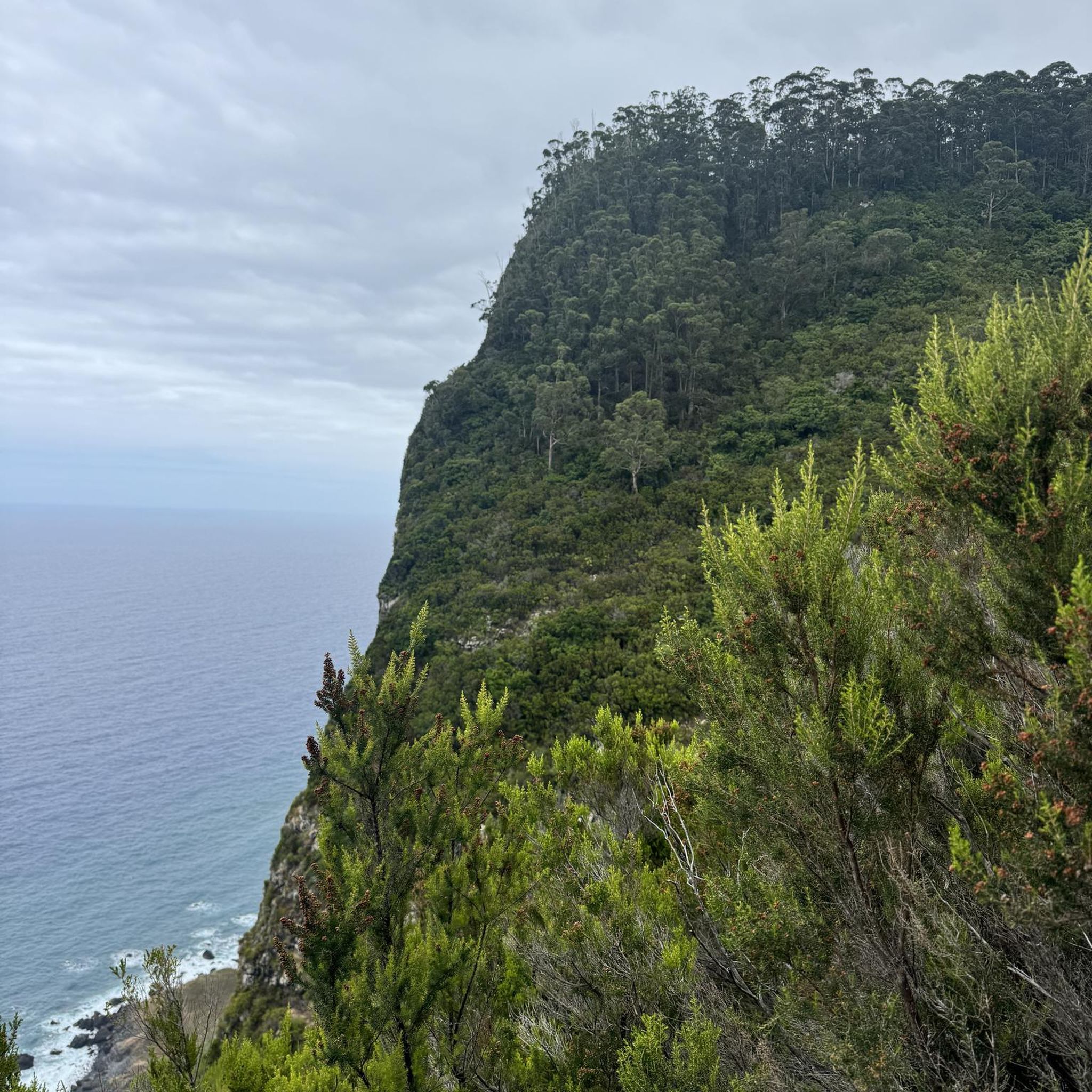
Riding up there by bike was quite strenuous, but the view from the top was worth the effort. It was well worth it.
0
0

very varied and pleasant hike
0
0

Far from the high Alpine passes, here is a small climb in the Sarthe countryside. On the program, 1.8 kilometers at an average of 4.5% coming from Montreuil-le-Chétif, or 2.1 kilometers at an average of 5.2% from Pezé-le-Robert.
3
0


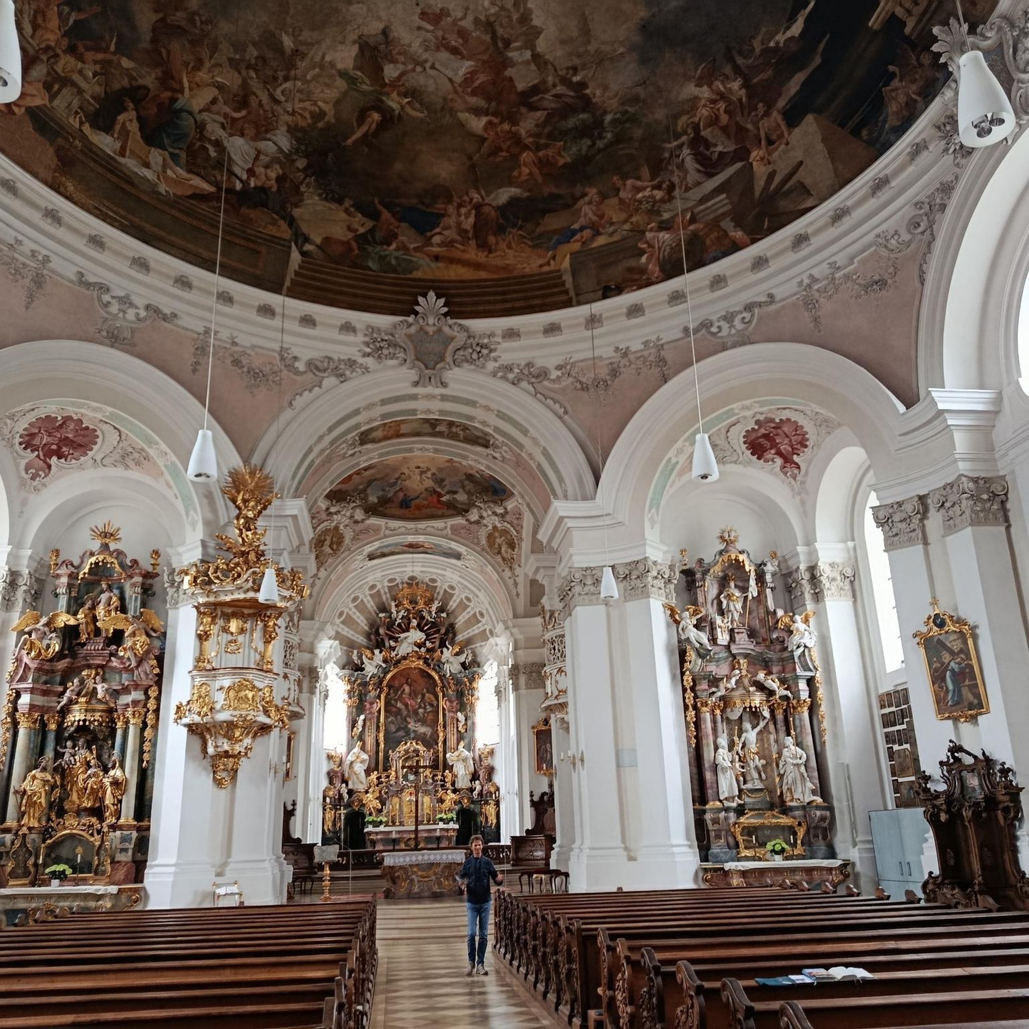
The Chapitrel is the name given to the entrance gate. The period door is in the Renaissance style. This construction had several functions: It was reserved for catechumens who were not allowed to enter the church and served as a warehouse for farmers who sold at the market on Sunday mornings. The saddleback tower dates from 1545. It is 28 m high. It is square and has four levels. Each floor is separated by an external Roussard belt called a "larmier" which overhangs quite widely, preventing water from running off. At the top of the roof are two granite crosses, each topped with a copper weather vane representing a crowned dragon's head.
0
0
Saint-Martin Chapel. It dates from the 12th or 13th century. It is made of granite, roussard sandstone and brick. This small chapel is lost in the middle of the fields. It is a simple rectangular nave which has a Romanesque window at its chevet.
0
0
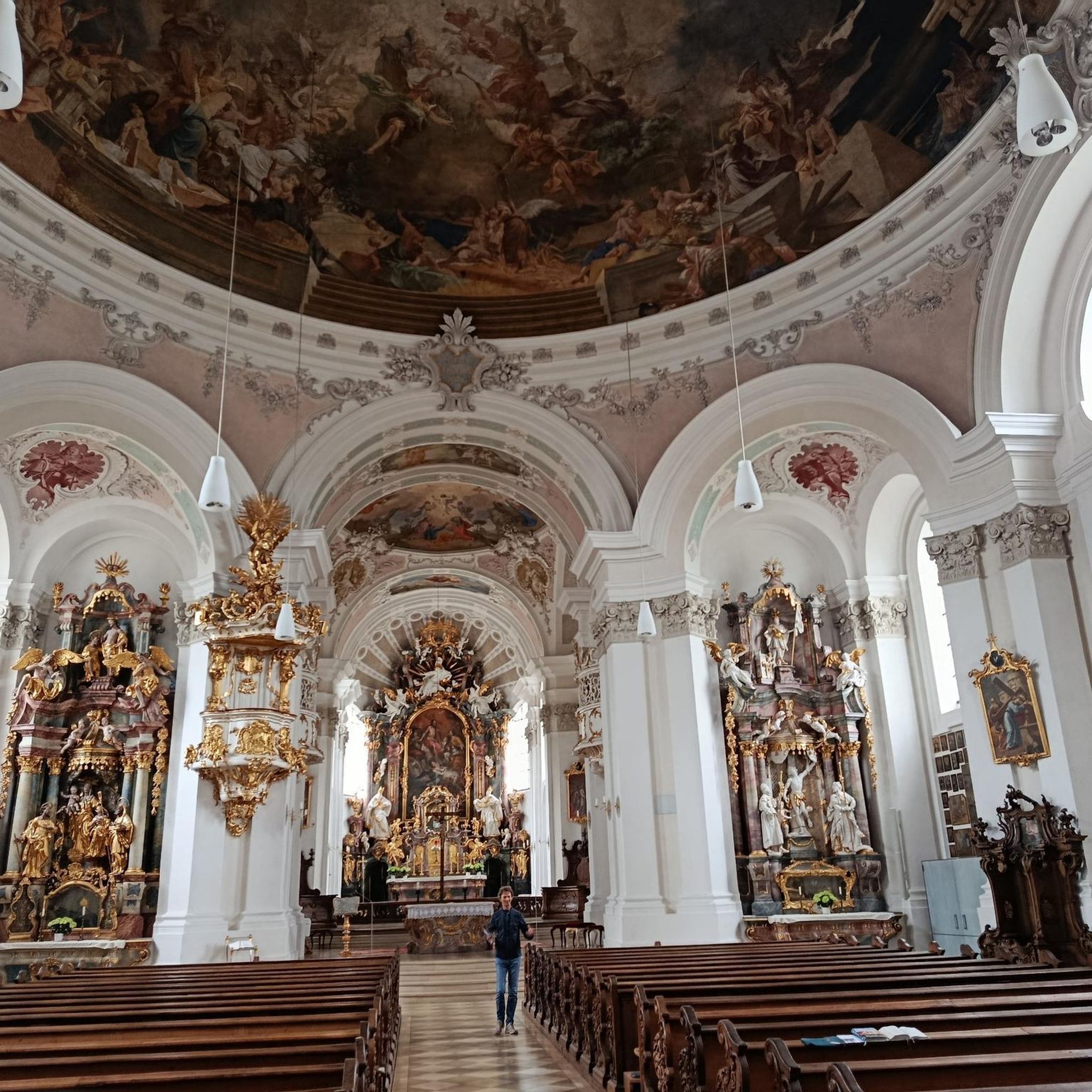
This neo-Gothic style church saw its first stone laid on July 6, 1880 and was consecrated in 1883. It replaced an old church which dated from the Middle Ages and which was considered too small for masses.
0
0
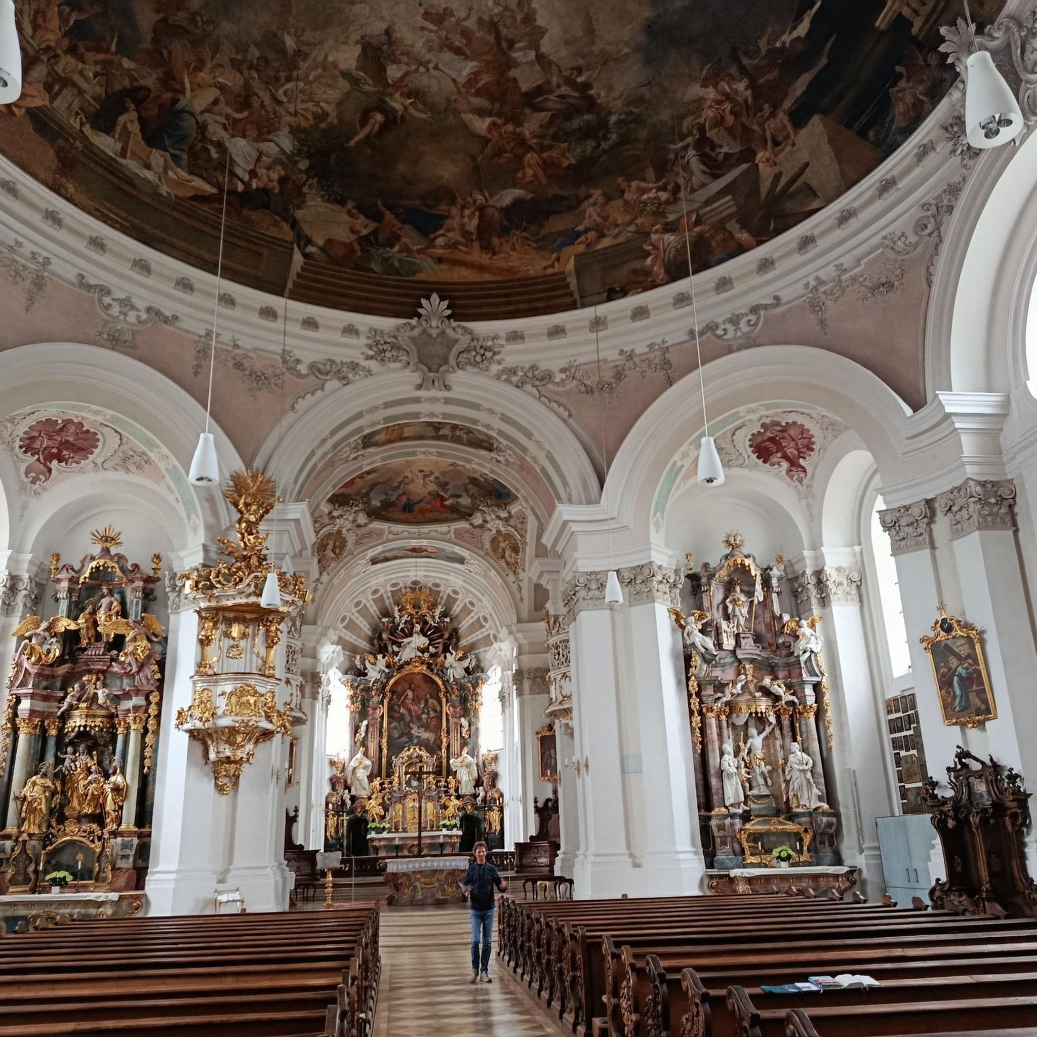
The Church of Our Lady of the Assumption: A Symbol of the Catholic Faith in Antananarivo The Church of Our Lady of the Assumption is a Catholic religious building located in the Avironimamo district of Antananarivo, the capital of Madagascar. It is dedicated to the Assumption of the Virgin Mary, an event that commemorates Mary's elevation to heaven after her death. Construction of the church began in 1872 and was completed in 1877. It was designed by French architect Émile Lafon, who also designed other important buildings in Antananarivo, such as the Church of Saint Peter and the Lycée Gallieni. The church was built on the site of an old chapel that had been built in the early 19th century. The Church of Our Lady of the Assumption is a remarkable example of neo-Gothic architecture in Madagascar. It is built of cut stone and has an imposing façade with two twin towers. The interior of the church is decorated with colorful stained glass windows and a pipe organ. The Church of Our Lady of the Assumption is an important tourist site in Antananarivo. It is open to the public and offers a breathtaking view of the city. In addition, the church is an important place of worship for the Catholic community of Madagascar. It regularly hosts masses and religious events. Here are some reasons why the Church of Our Lady of the Assumption is an interesting place to visit: Its neo-Gothic architecture is unique in Madagascar. The interior of the church is beautifully decorated. The church offers a breathtaking view of the city. It is an important place for the Catholic community of Madagascar. The Church of Our Lady of the Assumption is a symbol of the Catholic faith in Antananarivo. It is a must-see for all visitors to the Malagasy capital.
0
0
자주 묻는 질문
Coulombiers 주변 도로 사이클링 코스는 어떤 지형인가요?
비엔(Vienne) 데파르트망에 위치한 Coulombiers 주변의 도로 사이클링 코스는 완만한 평원과 숲이 우거진 지역의 풍경을 특징으로 합니다. 고도는 일반적으로 127m에서 156m 사이이며, 부드럽게 물결치는 지형을 만나게 됩니다. 이 지역에는 600헥타르 규모의 숲인 Forêt de l'Épine이 포함되어 있으며, 푸아투(Poitou) 경계 지역 고원의 실트 토양을 가로지르는 다양한 코스를 제공합니다.
Coulombiers에 초보자에게 적합한 도로 사이클링 코스가 있나요?
네, Coulombiers는 다양한 수준의 라이더에게 적합한 코스를 제공합니다. 약 30개의 도로 사이클링 코스 중 7개가 초급으로 분류되어 초보자나 편안한 라이딩을 원하는 분들에게 적합합니다. 또한, 조금 더 도전적인 라이딩을 원하시면 15개의 중급 코스도 있습니다.
다른 도로 사이클리스트들은 Coulombiers에서의 도로 사이클링에서 무엇을 가장 즐기나요?
Coulombiers에서의 도로 사이클링 경험은 komoot 커뮤니티에서 높은 평가를 받고 있으며, 22개 이상의 리뷰에서 평균 4.4점의 점수를 받았습니다. 사이클리스트들은 완만한 평원과 숲이 우거진 지역을 포함한 다양한 지형과 중급부터 고급 코스까지 다양한 난이도의 옵션을 자주 칭찬합니다.
숙련된 라이더를 위한 도전적인 도로 사이클링 코스가 있나요?
물론입니다. 도전을 추구하는 숙련된 도로 사이클리스트를 위해 Coulombiers는 8개의 고급 코스를 제공합니다. 주목할 만한 옵션 중 하나는 La Hutte - Coulombiers 출발 Col de la Source – Saint-Cénéri-le-Gérei 루프로, 상당한 고도 상승이 있는 120km 코스로 완료하는 데 거의 6시간이 소요됩니다. 또 다른 힘든 코스는 La Hutte - Coulombiers 출발 Fresnay-sur-Sarthe 성 – Saint-Cénéri-le-Gérei 루프로, 1700미터 이상의 상승을 포함하여 126km 이상을 달립니다.
도로 사이클링 코스를 따라 어떤 랜드마크나 명소를 볼 수 있나요?
Coulombiers 주변을 사이클링하면서 몇 가지 흥미로운 랜드마크를 탐험할 수 있습니다. 프레네-쉬르-사르트 성(Château de Fresnay-sur-Sarthe) 또는 생 마튀랭 문과 예배당(Saint Mathurin Gate and Chapel)과 같은 역사 유적지 근처를 지나는 코스를 고려해 보세요. 보몽-쉬르-사르트 로마 다리(Beaumont-sur-Sarthe Roman Bridge)도 만날 수 있으며, 라이딩에 역사적인 매력을 더해줄 것입니다.
Coulombiers 주변 도로 사이클링 코스의 길이는 얼마나 되나요?
Coulombiers 주변의 도로 사이클링 코스는 길이에 따라 크게 다릅니다. 더 짧고 접근하기 쉬운 라이딩부터 더 길고 도전적인 코스까지 찾을 수 있습니다. 예를 들어, La Hutte - Coulombiers 출발 알랑송 공작 성 – Saint-Cénéri-le-Gérei 루프는 약 72km이며, La Hutte - Coulombiers 출발 Col de la Source – Saint-Cénéri-le-Gérei 루프는 거의 120km까지 이어집니다.
Coulombiers에서 로드 바이크를 타기 가장 좋은 시기는 언제인가요?
이 지역은 일반적으로 온화한 기후를 가지고 있어 Coulombiers에서의 로드 바이크는 일년 내내 즐길 수 있습니다. 봄과 가을은 쾌적한 온도와 아름다운 풍경을 제공하여 이상적입니다. 여름도 좋을 수 있지만, 한낮의 더위를 피하기 위해 일찍 시작하는 것이 좋습니다. 겨울 라이딩도 가능하지만, 서늘한 기온과 습한 날씨에 대비해야 합니다.
Forêt de l'Épine을 통과하는 코스가 있나요?
네, Forêt de l'Épine은 이 지역의 중요한 자연 지형으로 600헥타르를 차지합니다. 많은 도로 사이클링 코스가 이 숲을 가로지르거나 근처를 지나도록 설계되어 있어, 사이클리스트들이 다양한 풍경과 작은 연못을 즐길 수 있습니다. 이러한 코스는 탁 트인 평원과는 다른 신선한 경치를 제공합니다.
Coulombiers에서 중간 난이도의 도로 사이클링 코스를 찾을 수 있나요?
네, 중간 난이도 코스가 가장 흔하게 이용 가능한 유형입니다. Coulombiers 주변에는 15개의 중간 난이도 도로 사이클링 코스가 있으며, 사이클링 경험이 있는 분들에게 균형 잡힌 도전을 제공합니다. 한 예로 La Hutte - Coulombiers 출발 Saint-Cénéri-le-Gérei – Saint-Léonard-des-Bois 루프는 약 90km이며 800미터 이상의 상승이 있습니다.
Coulombiers의 도로 사이클링 코스에서 일반적인 고도 상승량은 어느 정도인가요?
고도 상승량은 코스의 길이와 난이도에 따라 크게 달라집니다. 이 지역은 완만하게 물결치는 지형이지만, 일부 코스는 상당한 오르막이 있습니다. 예를 들어, La Hutte - Coulombiers 출발 Saint-Cénéri-le-Gérei – Saint-Léonard-des-Bois 루프와 같은 중간 난이도 코스는 800미터 이상의 상승이 있으며, La Hutte - Coulombiers 출발 Col de la Source – Saint-Cénéri-le-Gérei 루프와 같은 고급 코스는 1600미터 이상의 오르막이 포함될 수 있습니다.
지역 문화나 역사와 관련된 특별한 관심 지점이 있나요?
자연의 아름다움 외에도 이 지역은 역사적인 면모를 엿볼 수 있습니다. 사이클링을 하면서 르네(René)와 같은 매력적인 마을을 지나거나, 지역의 유산과 건축 양식을 느낄 수 있는 르네의 홀(Les Halles de René)과 같은 역사적인 구조물을 발견할 수 있습니다.
쿨롱비에 주변에서 가장 인기 있는 명소


더 살펴보기
다른 지역의 최고의 로드 사이클링 경로를 살펴보세요.
