スランゲンニス、スランマドク、シェリトンのおすすめランニングルート
4.4
(5)
941
ランナー
34
ランニング
スランゲンニス、スランマドク、シェリトンでランニングを楽しめば、このエリアをより深く知ることができます。ランニングに適した美しいルートが見つかるように、komootがスランゲンニス、スランマドク、シェリトンでのルートのコレクション全体を評価して選び抜いた、人気ランニングトレイルをご紹介します。ルートをクリックして詳細を表示し、他のユーザーがアップロードした役立つ情報や写真を閲覧しましょう。
最終更新日: 10月 10, 2026
3.0
(1)
10
ランナー
8.06km
00:57
60m
60m
中程度のジョギング. ある程度のフィットネスレベルが必要です。 全般的に進みやすいルートです。一部で、安定して歩行できる技術が必要です。
6
ランナー
8.37km
00:56
100m
100m
中程度のジョギング. ある程度のフィットネスレベルが必要です。 全般的に舗装された状態です。あらゆるスキルレベルに適しています。

5.0
(1)
4
ランナー
15.7km
01:49
260m
260m
難しいジョギング. 標準以上のフィットネスレベルが必要です。 全般的に進みやすいルートです。一部で、安定して歩行できる技術が必要です。
1
ランナー
5.22km
00:38
130m
130m
中程度のジョギング. ある程度のフィットネスレベルが必要です。 全般的に進みやすいルートです。一部で、安定して歩行できる技術が必要です。
352
ランナー
24.3km
03:09
760m
760m
難しいジョギング. 標準以上のフィットネスレベルが必要です。 全般的に舗装された状態です。あらゆるスキルレベルに適しています。
さらに多くのルートや他のユーザーのおすすめ情報を確認できます。
すでにアカウントをお持ちですか?
おすすめのツアーは他のkomootユーザーが実際に経験した何千ものアクティビティに基づいています。
無料アカウントで今日から始めよう
次の冒険が待っています。
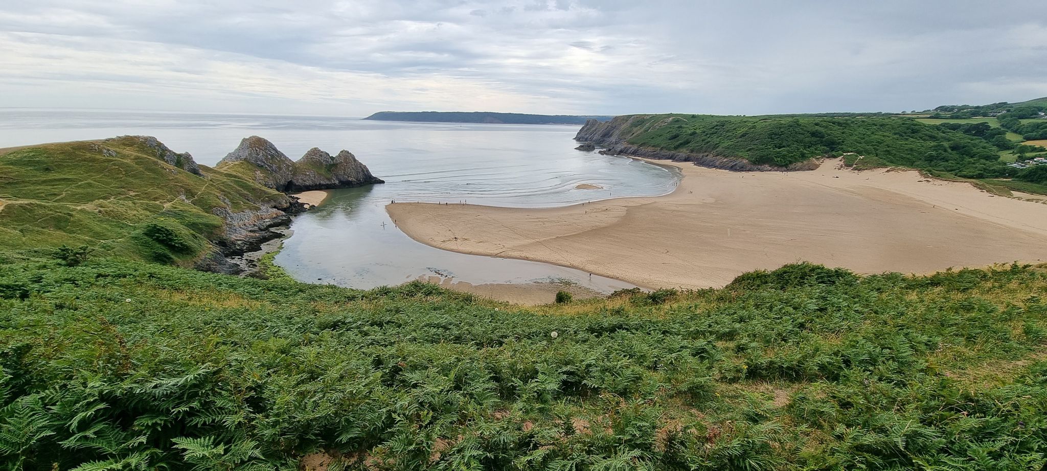
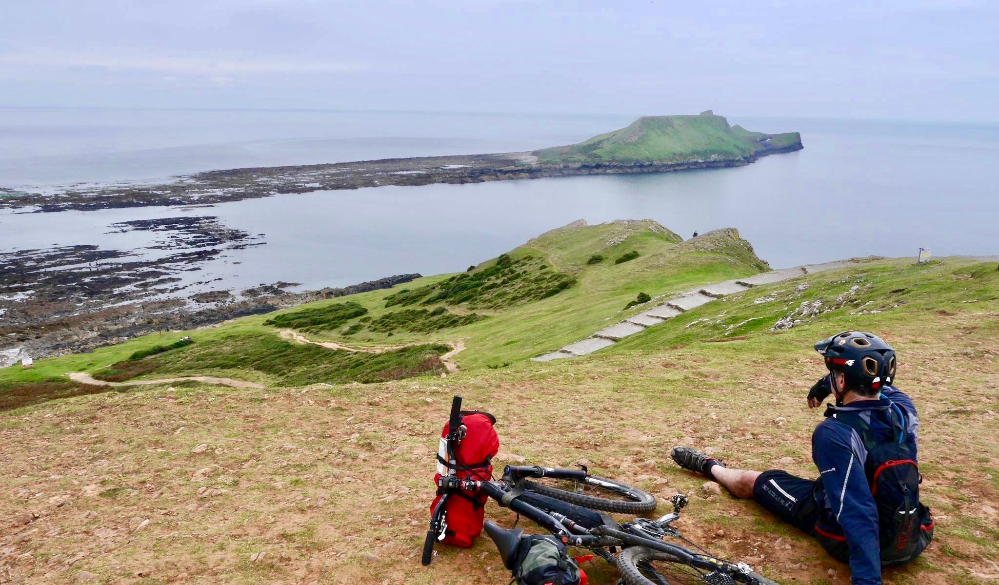
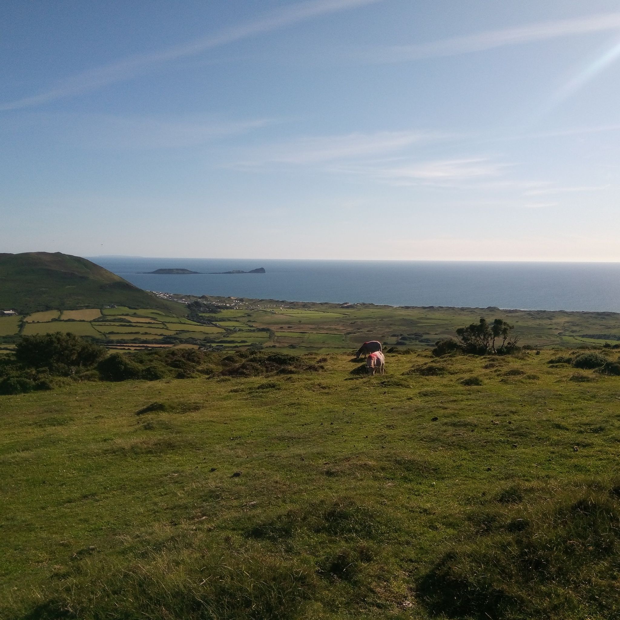
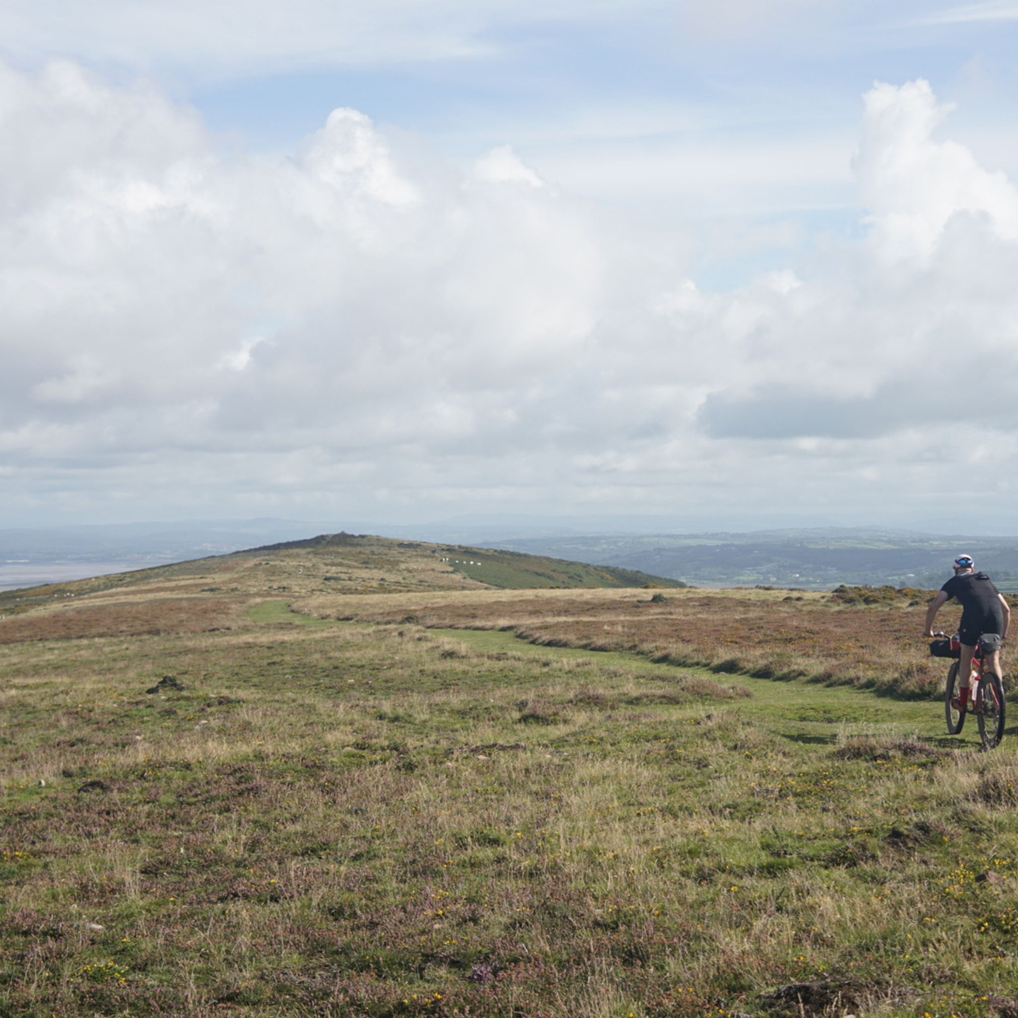



コミュニティからのヒント

Llanmadoc Hill Summitは、アワー半島北西の角にある標高186メートルの頂上です。広々とした開けた荒野の頂上には、三角点、石塚、方位盤が設置されており、Whiteford Sands、Burry Estuary、Rhossili Downのパノラマビューを楽しめます。
1
0

Amazing view across Rhossilli Bay and on to Llangenith Beach
1
0

Rhossili Down is a long ridge on the western tip of the Gower Penninsula. It stretches from Worms Head to Burry Holmes Island. It is a marvellous bit of high ground but only goes up to a height of 193-metres. Despite its diminuitive size, the views from its trig pointed summit are magnificent. The views down, over Worms Head, are simply world-class.
0
0
Llanmadoc Hill has fine views across towards Rhossili Down and nearby Harding's Down. With a trig point, a cairn, and an orientation table, it has a nice broad summit, which has few access paths to the the top. At 186 metres high, it is also a UK-designated P100 hill with 105 metres of prominence.
1
0
Rhossili Bay is the focal point of the Gower Peninsula. It is just such an iconic destination. In the immediate vicinity, you have views of the amazing rocky peninsula of Worms Head, the sweeping panoramic view across Rhossili Bay Beach, and the nearby ridge that forms Rhossili Down with its trig pointed summit. There is a National Trust car park here for parking, bars, and cafes. The path down to the beach is good but not accessible for wheelchairs, unfortunately. On the beach itself, there is the iconic wreck of the Norwegian barque Helvetia. The remains of the wreck at low tide are simply one of the most photographed locations on Gower, and its ribbed outline resembles something akin to a dinosaur ribcage poking its way out of the sand. On the far side of this glorious three-mile beach is Burry Holmes Island, but it is only accessible at low tide. This is equally so with nearby Worms Head, which is a great adventure but one that needs due care due to its rocky nature and tidal access. This iconic tidal penninsula is only available 2.5 hours either side of low tide, and the walk will take you a minimum of two hours. Ensure you are in good physical shape to do the journey and have checked the tide times before you depart. If in doubt or for further excellent information, see Chris Knight's webpage below. https://ohwhataknight.co.uk/blog/worms-head-hike-guide WARNING: Crossing to Worms Head has resulted in injuries and drowning fatalities in the past. If you have been caught out by the tide, do not attempt to swim ashore.
0
0

The tide times for the day are posted here. Be sure to pay attention
0
0
There are beautiful views out to Worms Head from here. At low tide you can even walk out to the headland but be sure to check with the nearby coastguard station (NCI) to see if the tide is right and only attempt it if it is within your ability.
1
0
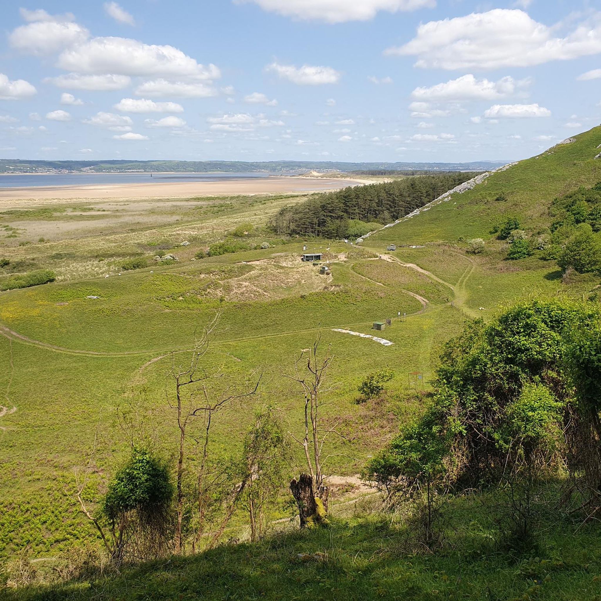
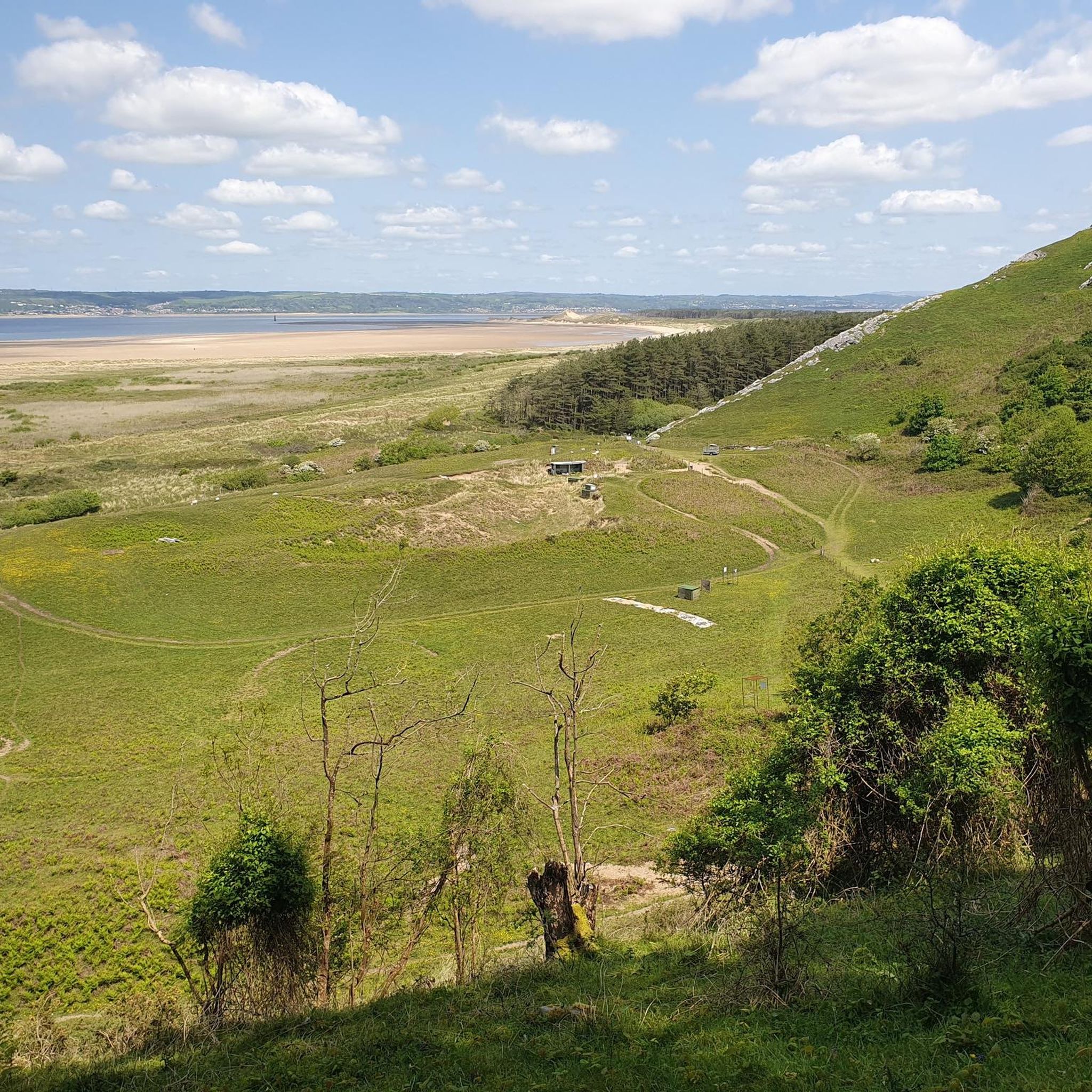
Out at the rugged end of Whiteford sands is Whiteford Point Lighthouse (also referred to as Whitford Point). It was built in 1865 to mark Whitford Point shoals, in the Burry estuary. This is a great place for a run with a nice flat but sandy sock filled route with great sea views.
1
0
スランゲンニス、スランマドク、シェリトンでのの人気ルート
スランゲンニス、スランマドク、シェリトンでのの人気観光スポット

komootモバイルアプリでインスピレーションを得よう


さらに探索
他の地域の最高のランニングトレイル & ルートを見てみましょう。
