4.4
(1181)
163,458
ランナー
8,949
ランニング
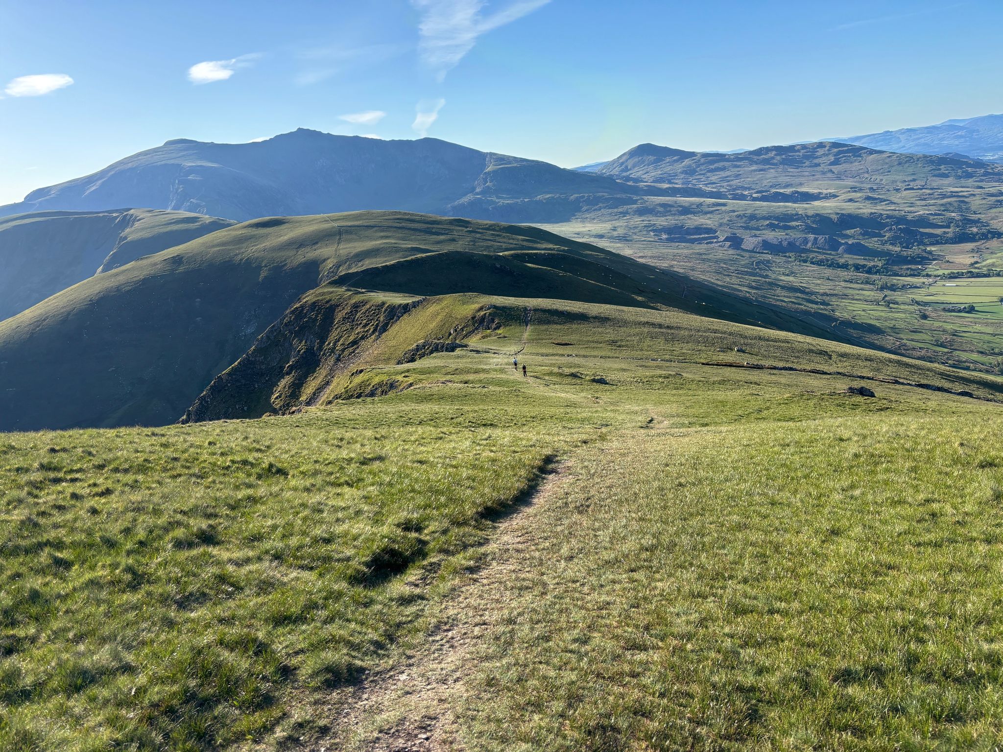
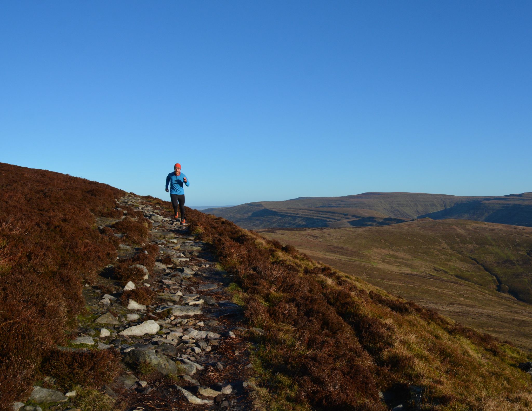
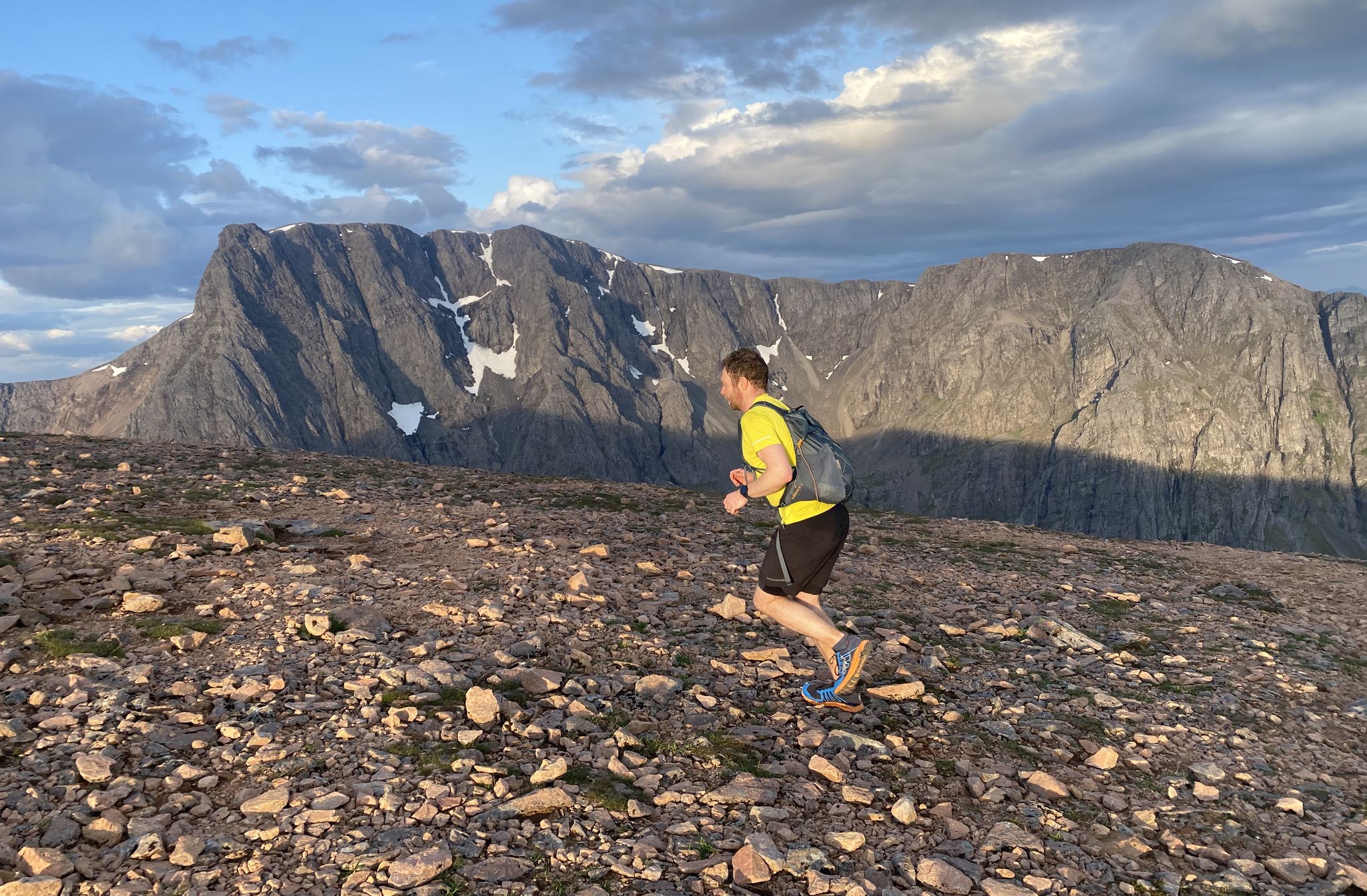
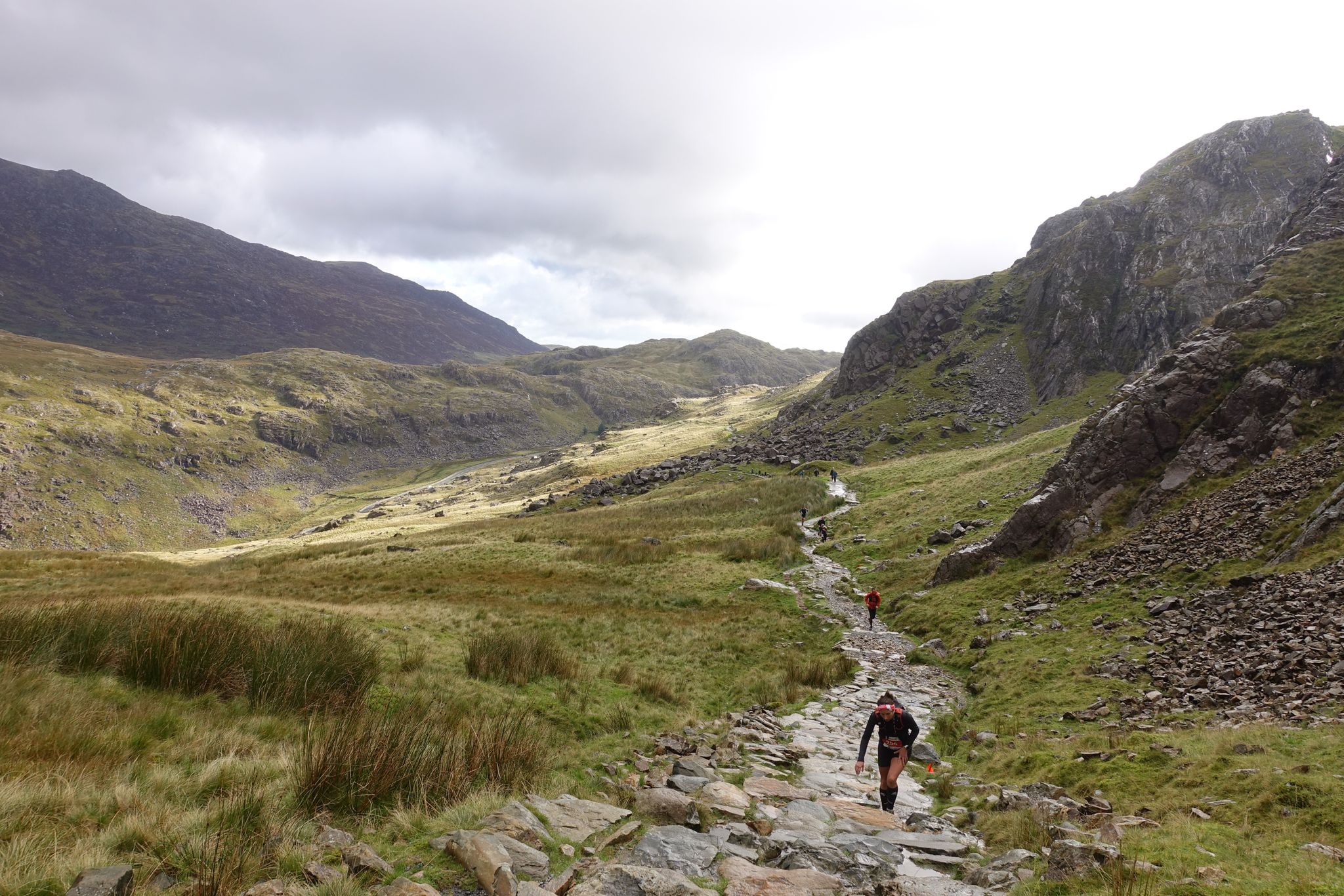
ウェールズでランニングを楽しめば、このエリアをより深く知ることができます。ランニングに適した美しいルートが見つかるように、komootがウェールズでのルートのコレクション全体を評価して選び抜いた、人気ランニングトレイルをご紹介します。ルートをクリックして詳細を表示し、他のユーザーがアップロードした役立つ情報や写真を閲覧しましょう。
最終更新日: 7月 7, 2026
5.0
(4)
1,317
ランナー
17.7km
01:51
120m
120m
Embark on a jogging adventure from Swansea Bay to Mumbles, a difficult 11.0-mile (17.7 km) route that typically takes 1 hour and 51 minutes to complete, featuring 385 feet (117 metres) of elevation gain. You'll experience diverse terrain, from winding gravel and dirt paths within Mumbles Hill Nature Reserve to paved promenades along the scenic coastline. Enjoy panoramic views over Swansea Bay, Mumbles Pier, and the iconic Mumbles Lighthouse as you jog. The trail also guides you through tranquil woodland sections, offering a shaded retreat. Be prepared for some uneven steps and potentially muddy sections, though much of the path is broad and firm.
While the route is generally accessible, be aware that some sections within Mumbles Hill Nature Reserve can be muddy, particularly if you visit in February. If you prefer to avoid the steep ascent to the summit of Mumbles Hill, a gentler alternative route is available from Thistleboon Drive. The trail is suitable for a range of fitness levels, despite its difficult rating, making it a rewarding option for many.
This trail is notable for its blend of natural beauty and historical significance. As you jog, you'll pass World War II archaeological sites and gun emplacements, which are part of a dedicated history trail. Mumbles Hill is a recognized nature reserve, offering glimpses of varied plant life, gorse bushes, and birds like skylarks and jays. Don't miss the
5.0
(4)
471
ランナー
12.2km
02:11
680m
690m
難しいジョギング. 標準以上のフィットネスレベルが必要です。 安定して歩行できる技術、丈夫な靴、高標高地での登山経験が必要です。

無料新規登録
4.6
(8)
508
ランナー
8.54km
01:01
120m
120m
Embark on a moderate jogging route around Llyn Padarn, a scenic loop that offers both a good workout and captivating views. This 5.3 miles (8.5 km) trail will have you gaining 403 feet (123 metres) in elevation, typically taking about 1 hour to complete. As you jog, you will pass through ancient oak woodlands and along the shores of the glacially formed lake, with glimpses of the majestic Yr Wyddfa (Snowdon) in the distance.
When planning your visit, you will find various parking options available in Llanberis, which serves as a convenient starting point for the route. The terrain is varied, combining smooth paths on former railway beds with unpaved sections and woodland trails. While generally accessible, be aware that some areas can have uneven surfaces. Consider an early morning or late afternoon jog to enjoy the tranquility and softer light around the lake.
The Llyn Padarn Loop Trail is notable for its blend of natural beauty and industrial heritage. You will encounter fascinating industrial archaeology, including remnants of the historic Dinorwig Quarry, which adds a unique historical layer to your run. The route also offers views of Dolbadarn Castle, providing a sense of the region's rich past as you complete your circuit.
4.8
(4)
451
ランナー
18.9km
02:55
1,100m
1,100m
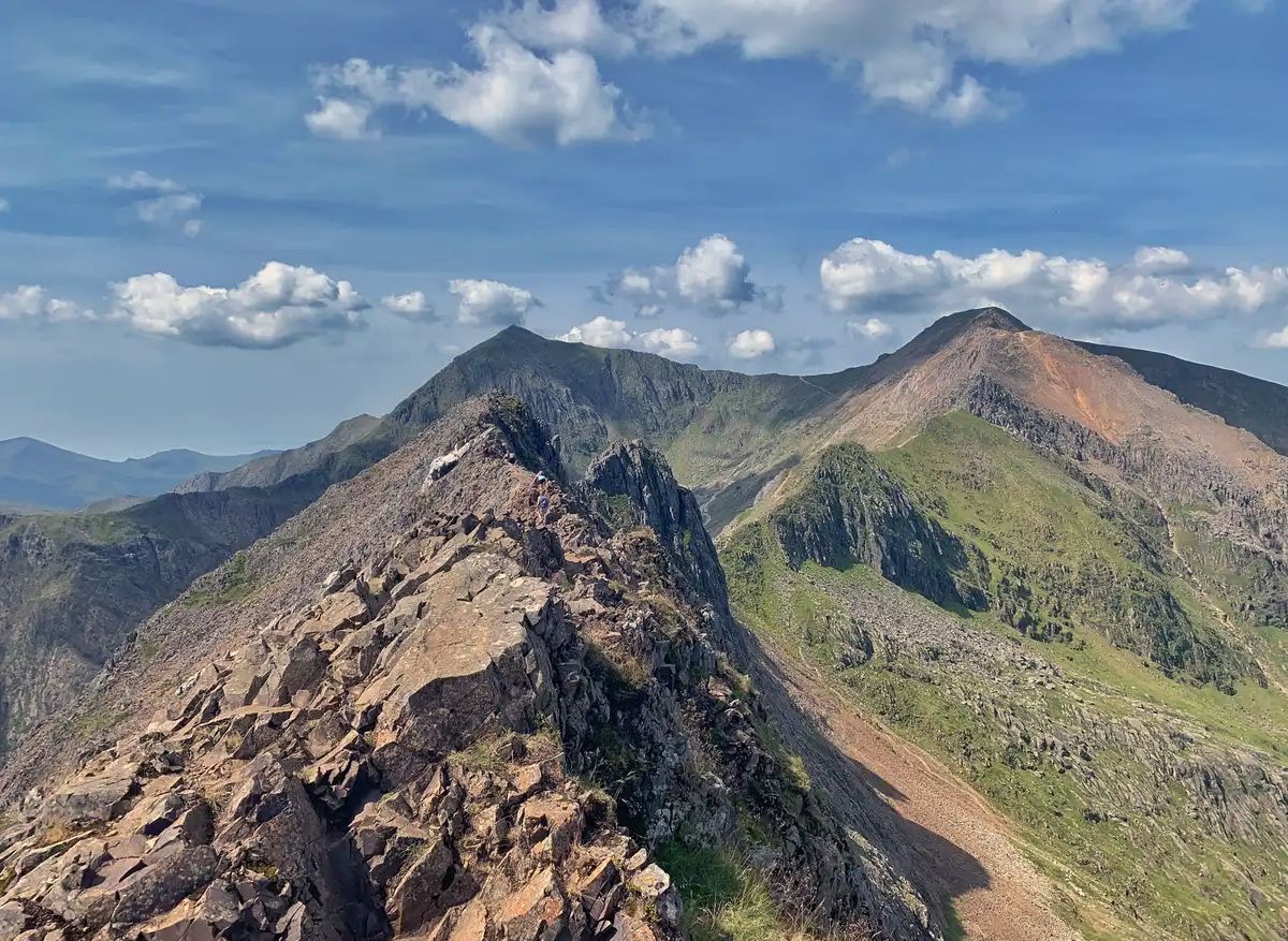
This difficult jogging route, the Snowdon Summit loop, Telegraph Valley & the Llanberis Path, offers a challenging yet rewarding experience through Snowdonia National Park. You will cover 11.8 miles (18.9 km) with a significant elevation gain of 3601 feet (1098 metres), typically taking around 2 hours and 55 minutes to complete. The diverse terrain includes initial steep tarmac sections on the Llanberis Path, transitioning to a generally gradual ascent with some looser, steeper parts towards the summit. Expect expansive views over Llanberis Pass, stretching to the Glyderau and Carneddau mountain ranges, with breathtaking vistas from the summit of Snowdon.
Planning your visit requires good fitness, sure-footedness, and sturdy shoes due to the varied and often steep terrain. While the Llanberis Path is considered the easiest route to the summit, it should not be underestimated. The route is open to the public, but you should always check local conditions before heading out, especially concerning weather in the mountains. Be prepared for a mix of unpaved, natural, and some asphalted surfaces throughout the loop. Always carry appropriate gear and water for this demanding mountain jog.
Snowdon (Yr Wyddfa) is the highest mountain in Wales and England, making this trail a notable achievement for many. The Llanberis Path is particularly popular as the longest and most gradual route to the summit, often chosen by first-time climbers. Uniquely, it runs alongside the Snowdon Mountain Railway for much of its length, offering a distinct visual element. Telegraph Valley provides a quieter alternative for gaining elevation from Llanberis, allowing you to avoid busier sections and enjoy a different perspective of the majestic mountains and glacial lakes.
3.9
(14)
507
ランナー
7.51km
00:47
40m
40m
Lace up for a moderate jogging experience on the Cardiff Bay Trail, a 4.7-mile (7.5 km) route that takes about 46 minutes to complete. You'll gain 128 feet (39 metres) in elevation as you navigate a varied terrain of concrete paths and bouncy boardwalks. The trail offers a dynamic blend of urban landscapes and serene waterside views. Keep an eye out for the striking architecture of the Wales Millennium Centre as you pass by. You'll also enjoy glimpses of beaches and bridges, with opportunities to spot birds in the natural wetlands.
The Cardiff Bay Trail is a circular route, giving you the flexibility to begin and end your jogging adventure at various points around the bay. It's a multi-use path, so you'll share it with walkers and cyclists, making it a lively and accessible option for your outing. The trail is generally well-maintained, ensuring a smooth run. Consider starting early in the morning or later in the afternoon to enjoy the best light and potentially fewer crowds. No specific permits or fees are mentioned for accessing this public path.
This trail stands out as an excellent way to immerse yourself in Cardiff's vibrant waterfront environment. Beyond the urban scenery, the route provides a unique opportunity to observe local wildlife within the Cardiff Bay Wetlands Reserve. It's a fantastic option for those looking to combine a refreshing jog with cultural sights and natural beauty, all within the city's reach.
5.0
(7)
410
ランナー
21.2km
02:38
740m
740m
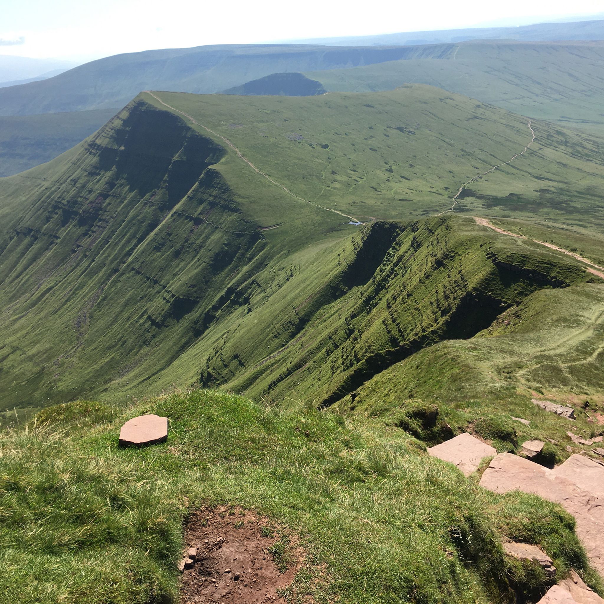
The Brecon Beacons Horseshoe Ridge Trail offers a challenging jogging experience through the dramatic landscapes of Bannau Brycheiniog National Park. This difficult route covers 13.2 miles (21.2 km) and involves a significant elevation gain of 2439 feet (743 metres), typically taking around 2 hours and 38 minutes to complete. As you jog, you'll be treated to expansive views of wild Welsh moorland, deep valleys, and surrounding hills. From prominent peaks like Pen y Fan, you can look down upon Llyn Cwm Llwch and the Cwm Sere valley, making every climb rewarding. The trail's distinctive horseshoe shape around the U-shaped Neuadd Valley adds to its unique visual appeal.
When planning your visit, be aware that weather conditions in the Brecon Beacons can change quickly and significantly impact the trail's difficulty. Always come prepared with waterproof clothing and sturdy jogging shoes to ensure your safety and comfort. While popular summits like Pen y Fan can attract many visitors, other sections of the route often provide a quieter experience. You have several options for starting the trail, with the Neuadd Car Park being a common and convenient choice for access. Consider an early start to make the most of the daylight and potentially avoid busier times on the more well-known sections.
The Brecon Beacons Horseshoe Ridge Trail is renowned for its continuous, spectacular panoramas that stretch for miles across the national park. The route's unique horseshoe formation, encircling the Neuadd Valley, is a defining geographical feature that enhances the visual journey. This area is a prime example of glacial landscape, with the U-shaped valleys and corrie lakes like Llyn Cwm Llwch showcasing the powerful forces that shaped the region. The trail provides an excellent opportunity to immerse yourself in the rugged beauty and geological history of the Welsh mountains. It stands out as a classic mountain jogging route, offering both a physical challenge and profound natural beauty.
5.0
(6)
389
ランナー
20.1km
02:32
740m
740m
Lace up for a difficult jogging adventure on the Brecon Beacons Horseshoe Ridge Trail, a demanding route that spans 12.5 miles (20.1 km). You will ascend a substantial 2440 feet (744 metres) over approximately 2 hours and 32 minutes, pushing your limits across exposed ridges. The trail offers expansive panoramic views, taking you over four prominent peaks, including Pen y Fan, the highest point in southern Britain. Look out for the distinctive 'diving board' on Fan y Big, which provides a unique photo opportunity.
Be ready for rapidly changing mountain weather; prepare for exposed conditions and potential low visibility, especially on the higher sections. Sure-footedness is essential, so wear sturdy shoes for the uneven and stony paths. While some starting points offer a quieter experience, expect crowds between Corn Du and Pen y Fan, particularly on busy days.
This route is widely considered one of southern Britain's premier ridge runs, offering a truly rewarding experience within the Bannau Brycheiniog (Brecon Beacons) National Park. From the summit of Corn Du, you can enjoy far-reaching views across Llyn Cwm Llwch and beyond into Wales. It is a notable challenge that showcases the rugged beauty of the region.
5.0
(1)
298
ランナー
17.7km
02:33
1,000m
1,000m
Embark on the Brecon Beacons Horseshoe Ridge Trail, a difficult jogging route that challenges you with 11.0 miles (17.7 km) and a significant 3279 feet (999 metres) of elevation gain. This demanding journey, estimated to take 2 hours and 33 minutes, winds through the dramatic U-shaped Neuadd Valley, offering expansive views. You will traverse several peaks, including Pen y Fan, the highest point in South Wales, providing a rewarding experience for those who enjoy tough climbs and panoramic vistas.
Planning your visit requires careful consideration due to the exposed nature of the route. Always check the weather forecast before you go, as conditions can change rapidly, bringing wind, rain, or low visibility. Be sure to wear appropriate footwear and clothing, and carry essential navigation tools to stay safe. While the initial ascent might see more people, the Horseshoe Ridge Trail generally offers a quieter experience compared to the main Pen y Fan paths.
This trail is a highlight within the Bannau Brycheiniog (Brecon Beacons) National Park, showcasing its rugged beauty. It provides a unique opportunity to experience the park's diverse landscape, from the high ridges to the serene Neuadd reservoir. The route is particularly notable for its comprehensive coverage of the area's prominent peaks, making it a classic choice for experienced joggers seeking a memorable outing in this iconic Welsh landscape.
4.8
(5)
259
ランナー
19.7km
02:19
510m
510m
難しいジョギング. 標準以上のフィットネスレベルが必要です。 全般的に進みやすいルートです。一部で、安定して歩行できる技術が必要です。
4.0
(1)
260
ランナー
13.5km
01:47
650m
650m
Start your jogging adventure on the Moel Eilio loop from Llanberis, a difficult route that promises a rewarding challenge. You'll cover 8.4 miles (13.5 km) and ascend 2139 feet (652 metres), with an estimated duration of 1 hour and 47 minutes. The initial climb from Llanberis is steep, but soon you'll find yourself on accessible paths and grassy ridges, often sharing the landscape with wild ponies. As you reach the Moel Eilio Summit, prepare for expansive views across the Snowdonia peaks, including Yr Wyddfa, the Glyderau, and the Carneddau, extending all the way to Anglesey and the Irish Sea. This loop is designed for experienced joggers seeking a robust workout amidst stunning Welsh scenery.
When planning your visit, remember that while this route is estimated for jogging in under two hours, walking the full circular route can take significantly longer, around four to five hours. The trail is generally accessible, but be aware that some sections on the descent can be steep and may lack a clear path. We recommend wearing sturdy shoes and ensuring you are sure-footed, especially on these trickier parts. Always check local conditions before you head out, as weather in Eryri (Snowdonia) National Park can change quickly.
This challenging loop offers more than just a workout; it provides a unique perspective on the dramatic landscape of Eryri National Park. You'll experience the varied terrain from steep ascents to open ridges, all while being immersed in the natural beauty of the region. The opportunity to spot wild ponies adds a special touch to your journey, making this route a memorable experience for those who appreciate both physical exertion and breathtaking natural surroundings.
さらに多くのルートや他のユーザーのおすすめ情報を確認できます。
無料新規登録
すでにアカウントをお持ちですか?
おすすめのツアーは他のkomootユーザーが実際に経験した何千ものアクティビティに基づいています。
無料アカウントで今日から始めよう
次の冒険が待っています。
ログインまたは登録
The Llanberis Path is considered the easiest path for climbing Yr Wyddfa (Snowdon), and it's particularly popular for first-timers. It has a very short steep climb in the beginning don't be put off by this, it then has a long, gradual ascent up to the summit, just over 9 miles up and down.
1
0
The Barrage connects Penarth to the Cardiff peninsula. It offers stunning views across the sea to one side, and the freshwater bay on the other. One of the highlights of the Cardiff Bay tour
0
0
Beautiful hike, too bad it was cloudy at the top. 12.3 km isn't the actual distance you'll be hiking: it's definitely 10 km more because you can't walk a straight line on this path. It's very busy on this trail; there's a queue to reach the top.
0
0
Incredible and unique building that stands proud as the Gateway to the Bay. The area is full of restaurants and life every day of the week!
1
0
The Giant's Cave is a small pass through cave with a great view of the River Wye and Landscape
0
0