スランゲンニス、スランマドク、シェリトンのおすすめウォーキング&ハイキングルート
4.7
(894)
7,060
ハイカー
46
ハイキング
スランゲンニス、スランマドク、シェリトン 周辺でおすすめのハイキングやウォーキングを楽しんでいただけるように、このエリアの小径やルートを集めたkomootコレクション全体を見直しました。 以下で各ルートの詳細をご覧になり、スランゲンニス、スランマドク、シェリトン周辺の大自然を満喫する際の参考にしてください。
最終更新日: 10月 10, 2026
4.6
(35)
197
ハイカー
8.06km
02:06
60m
60m
Embark on the Whiteford Sands loop from Llanmadoc, a moderate 5.0-mile (8.1 km) hike with 196 feet (60 metres) of elevation gain, typically taking around 2 hours and 6 minutes…
4.9
(7)
19
ハイカー
8.41km
02:15
100m
100m
Embark on a moderate hike along the stunning Welsh coastline with the Blue Pool Bay near Llangennith loop. This 5.2-mile (8.4 km) route, featuring 335 feet (102 metres) of elevation…

4.8
(4)
29
ハイカー
13.5km
03:36
150m
150m
中程度のハイキング. ある程度のフィットネスレベルが必要です。 進みやすいルートです。あらゆるスキルレベルに適しています。
4.6
(5)
19
ハイカー
10.4km
02:59
250m
250m
中程度のハイキング. ある程度のフィットネスレベルが必要です。 全般的に進みやすいルートです。安定して歩行できる技術が必要です。
4.8
(5)
13
ハイカー
21.8km
06:00
350m
350m
Hike the difficult 13.6-mile Whiteford Sands & Burry Holmes Island loop from Llanmadoc, featuring coastal views and tidal island access.
さらに多くのルートや他のユーザーのおすすめ情報を確認できます。
すでにアカウントをお持ちですか?
おすすめのツアーは他のkomootユーザーが実際に経験した何千ものアクティビティに基づいています。
無料アカウントで今日から始めよう
次の冒険が待っています。



コミュニティからのヒント

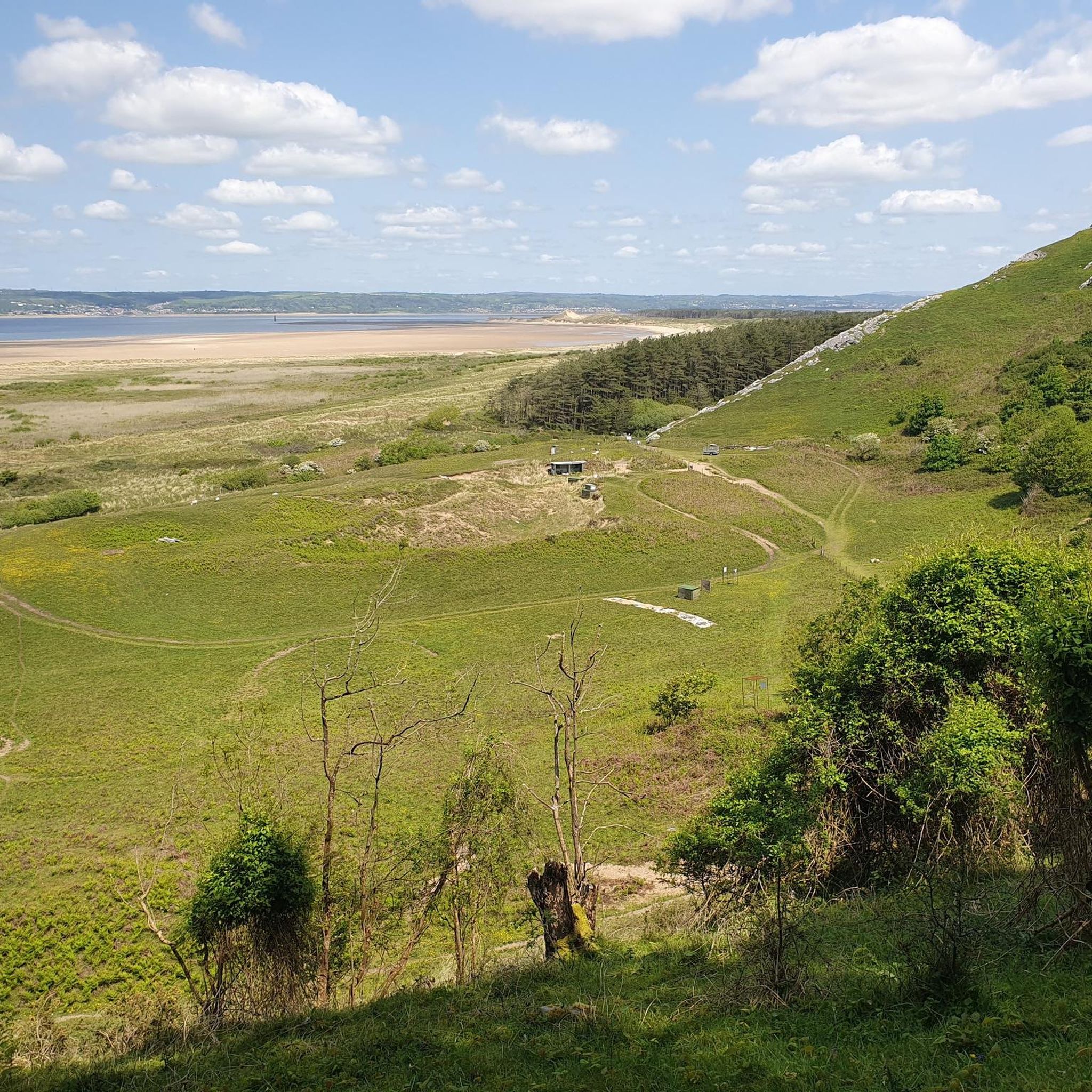
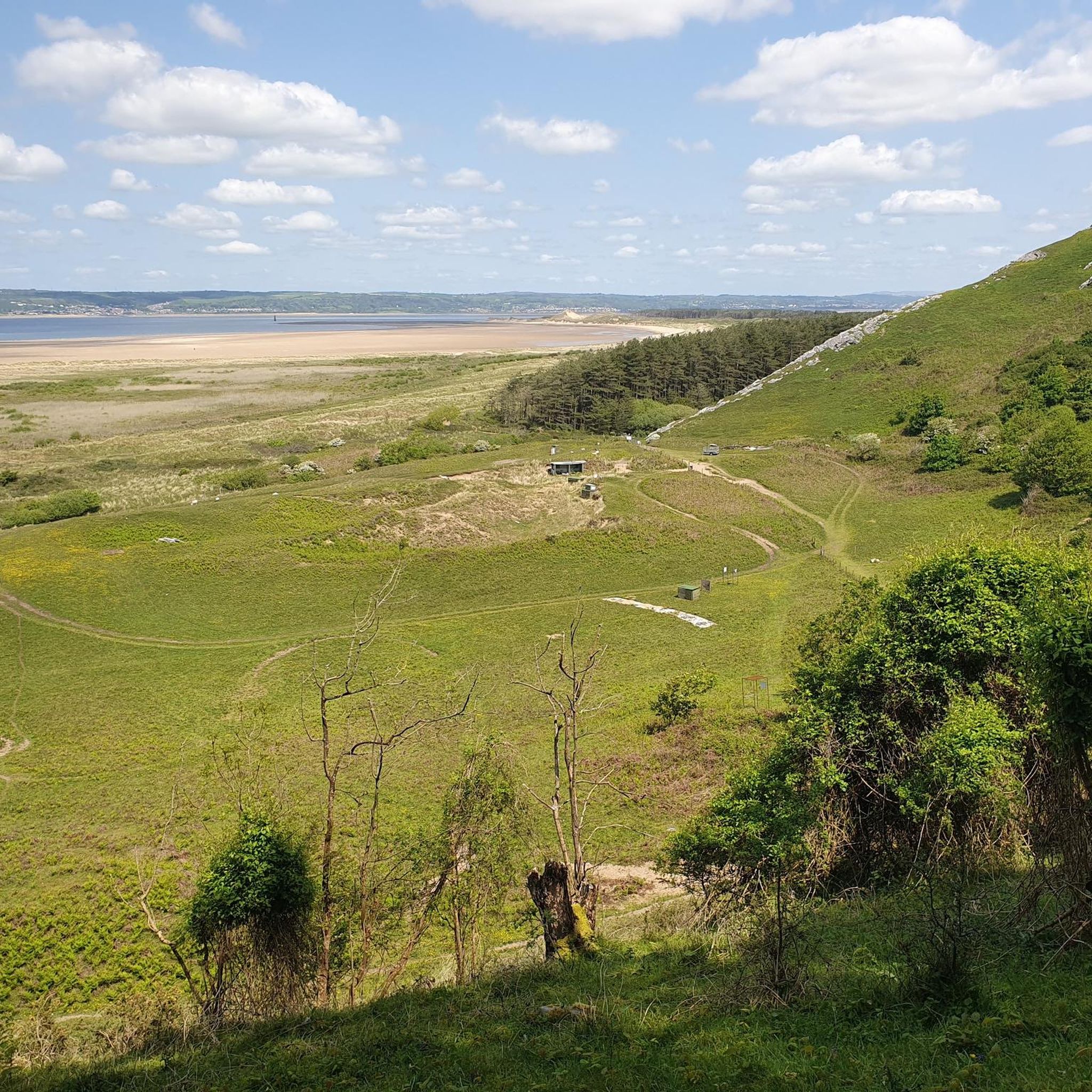
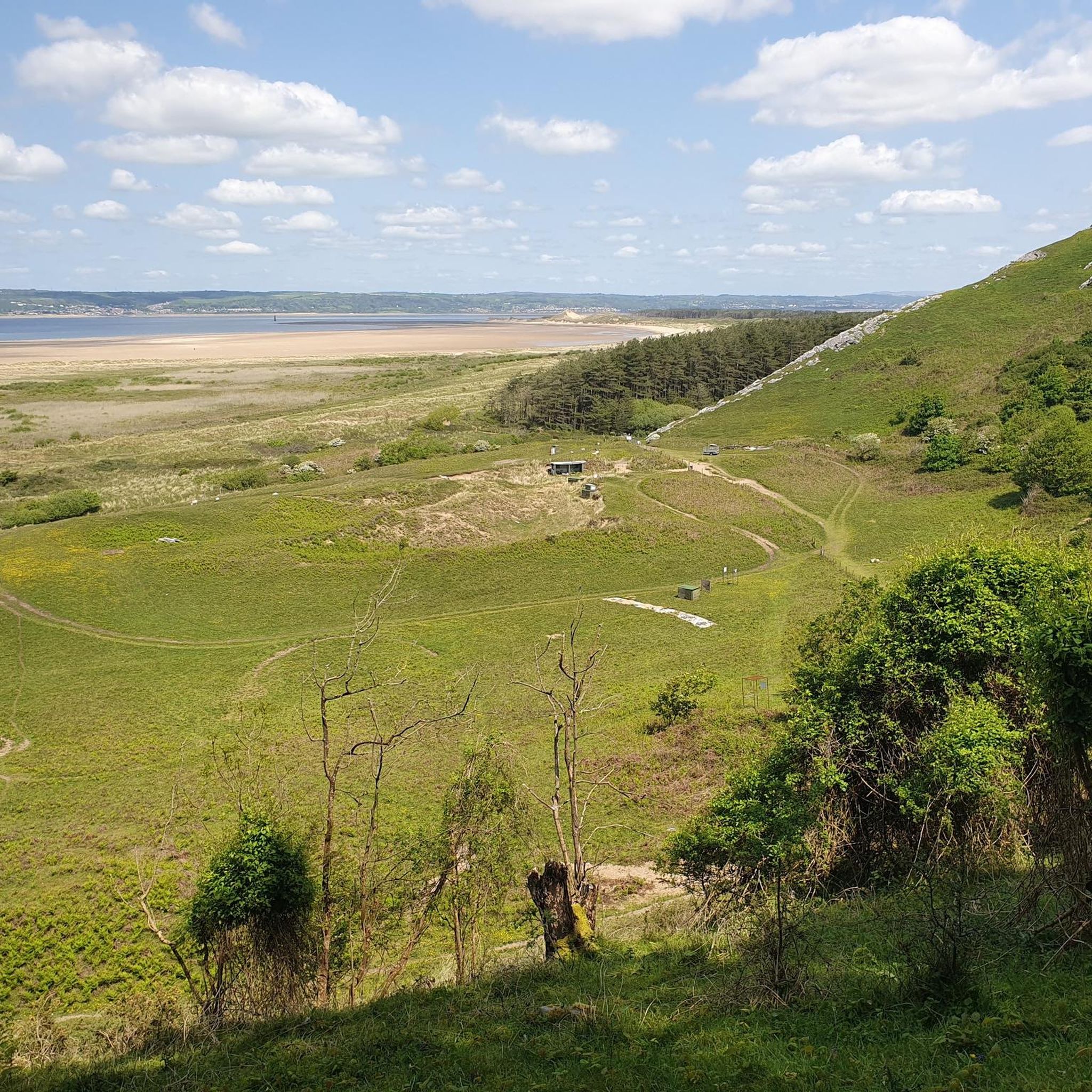
Llanmadoc Hill Summitは、アワー半島北西の角にある標高186メートルの頂上です。広々とした開けた荒野の頂上には、三角点、石塚、方位盤が設置されており、Whiteford Sands、Burry Estuary、Rhossili Downのパノラマビューを楽しめます。
1
0

美しく、静かで、涼しい内部。ハイキング中の休憩や教会探訪に最適な場所で、天井は必見です。外に水道があり、内部では寄付で紅茶とコーヒーが利用できます。
0
0

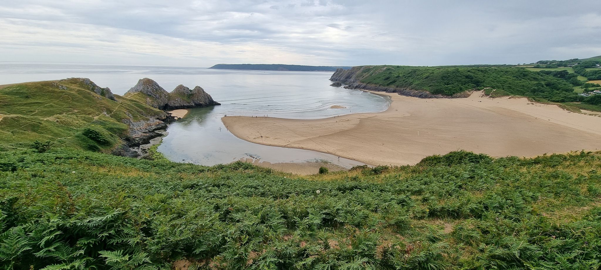
ブロートン湾は、有名なロングサンドビーチであるロスリ湾の北部に位置します。ロスリ湾と比較して、河口により面しており、人里離れた感じがするため、通常はより静かです。河口周辺の離岸流のため、他のガワーのビーチよりも遊泳には適さないと考えられています。
0
0


St. Cenydd’s Church is a beautiful church set in the heart of Llangennith. It was built around the 12th century on the site of a 6th-century llan, or churchyard. If a Welsh village has a 'Llan' in the name, it contains a church. The church has a long chancel, but it is the large, impressive square saddleback roofed tower with lancet windows that is a striking sight. The church was originally built on the site of a priory originally established by St. Ceyndd, who was born in the local area.
0
0
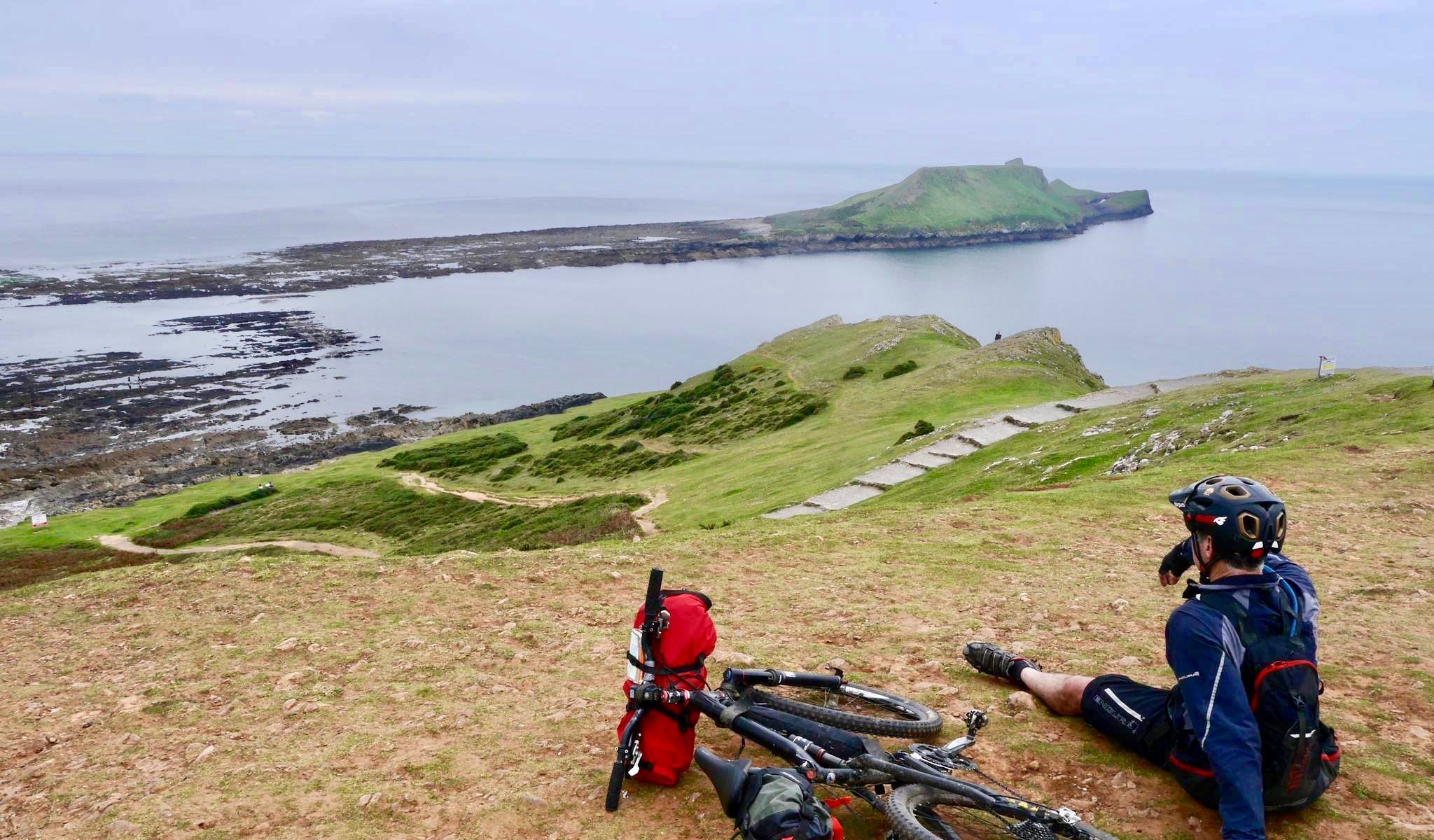
On the western tip of the Gower Peninsula is the long, sweeping bay of Rhossili. It is bordered with Worms Head on the one side and Burry Holmes Island on the other. In between are golden sands, replete with a shipwreck, that are overlooked with the long ridgeline of Rhossili Down, which culminates at its 193-metre high trig point. It is a stunning place punctuated with beautiful pink gorse bushes in the summer, along good-quality footpaths with wide panoramic views down onto the sands below and out to sea.
0
0
Llangennith village is a charming village in the Gower Penninsula set between the rolling coastal hills of Llanmadoc Hill, Rhossili Down, and Hardings Down. Beautiful St.Cenydd church is the central and focal point of the village, with the pub coming in a close second. The village is a very popular location with families and surfers.
0
0
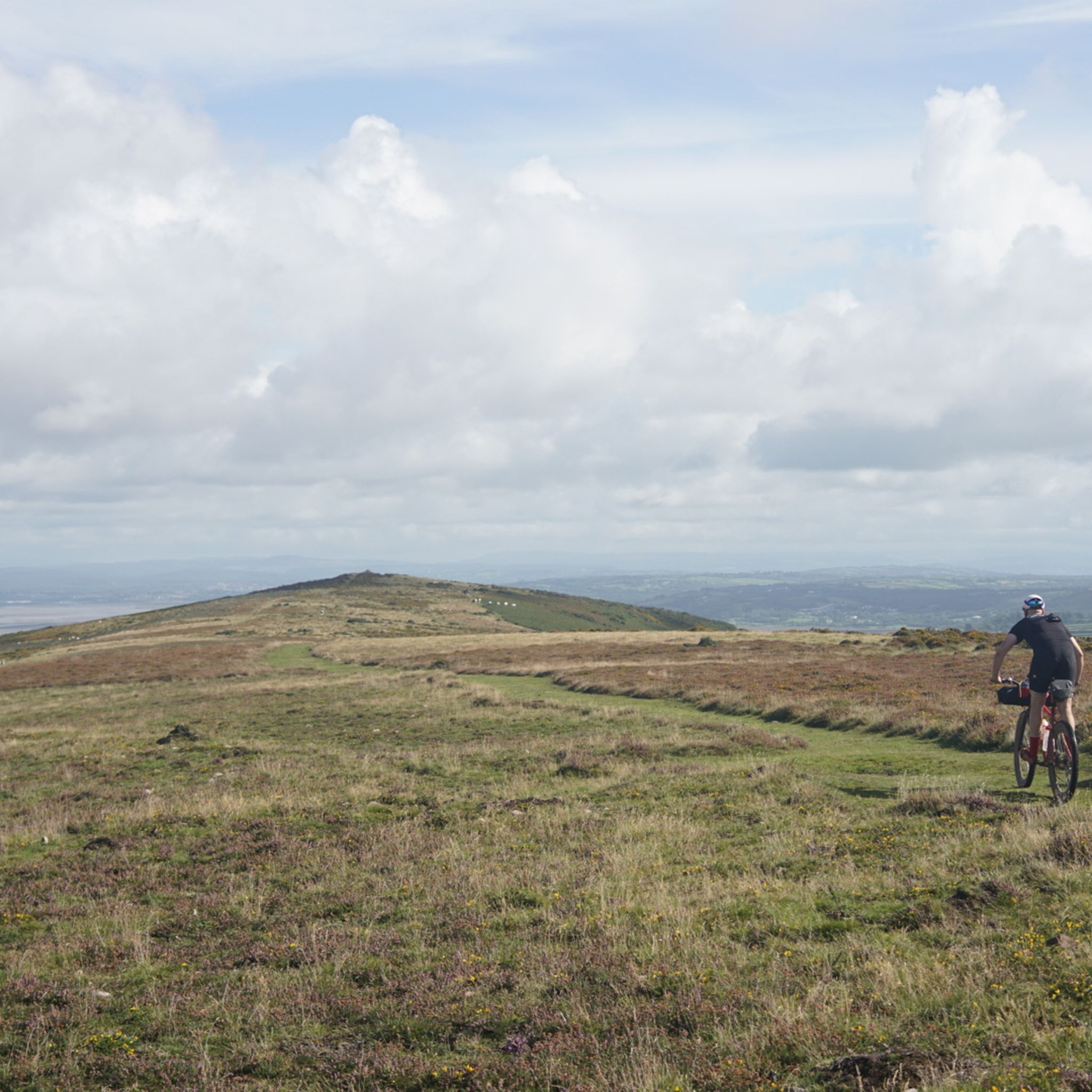
Llanmadoc Hill has fine views across towards Rhossili Down and nearby Harding's Down. With a trig point, a cairn, and an orientation table, it has a nice broad summit, which has few access paths to the the top. At 186 metres high, it is also a UK-designated P100 hill with 105 metres of prominence.
1
0
スランゲンニス、スランマドク、シェリトンでのの人気ルート
スランゲンニス、スランマドク、シェリトンでのの人気観光スポット

komootモバイルアプリでインスピレーションを得よう


さらに探索
他の地域の最高のハイキングを見てみましょう。
