イギリスのおすすめランニングルート
4.3
(653)
27,966
ランナー
157,939
ランニング
イギリスでランニングを楽しめば、このエリアをより深く知ることができます。ランニングに適した美しいルートが見つかるように、komootがイギリスでのルートのコレクション全体を評価して選び抜いた、人気ランニングトレイルをご紹介します。ルートをクリックして詳細を表示し、他のユーザーがアップロードした役立つ情報や写真を閲覧しましょう。
最終更新日: 10月 24, 2026
4.6
(69)
4,312
ランナー
8.43km
00:53
60m
60m
中程度のジョギング. ある程度のフィットネスレベルが必要です。 ほとんどが舗装路です。
4.7
(23)
2,791
ランナー
14.5km
01:42
120m
120m
中程度のジョギング. ある程度のフィットネスレベルが必要です。 ほとんどが舗装路です。

4.8
(17)
2,381
ランナー
11.7km
01:25
80m
80m
Embark on a moderate 7.2-mile (11.7 km) jogging loop around Richmond Park, offering 277 feet (84 metres) of elevation gain and typically completed in about 1 hour and 24 minutes. The Tamsin Trail features a mixed surface of crushed limestone, gravel, and dirt paths, winding through woodlands, expansive meadows, and ancient grasslands. You will enjoy diverse scenery, including views of the London skyline from points like Broomfield Hill and distant protected views of St Paul's Cathedral from King Henry's Mound.
This popular route connects all the gated entrances of Richmond Park and is well-marked with blue arrows. You can access amenities like cafes, toilets, and water fountains conveniently located along the route, particularly at Richmond Gate, Pembroke Lodge, and Roehampton Gate. The park opens for vehicles at 7:00 am in summer and 7:30 am in winter, with pedestrian gates generally open 24 hours.
As a celebrated running destination and a National Nature Reserve, the Tamsin Trail offers a unique opportunity to experience abundant wildlife. Keep an eye out for the park's renowned herds of red and fallow deer, which have roamed here since 1637, as well as parakeets. This shared path is used by runners, walkers, and cyclists, providing a vibrant outdoor experience.
4.6
(12)
1,770
ランナー
40.6km
05:15
1,420m
1,410m
Embark on the Three Peaks Challenge in Yorkshire Dales National Park, a truly difficult jogging route that spans 25.2 miles (40.6 km) and climbs a significant 4649 feet (1417 metres) of elevation. This demanding journey, which you can aim to complete in around 5 hours and 14 minutes, takes you over the iconic peaks of Pen-y-ghent, Whernside, and Ingleborough. Expect varied and challenging terrain, from rough moorland to rocky scrambles on Pen-y-ghent, and steep descents from Whernside. Along the way, you'll be rewarded with magnificent panoramic views across the Dales, potentially seeing Morecambe Bay and the Lakeland hills on clear days, with the impressive Ribblehead Viaduct as a notable landmark. The route offers a rigorous test of endurance and sure-footedness over its diverse surfaces.
To successfully jog the Three Peaks Challenge, you will need very good fitness and significant training, including long runs with steep hills. The route is seriously tough, so prepare for substantial climbing and often steep descents over uneven ground. Given the likelihood of damp and muddy conditions across the moorland sections, especially on Pen-y-ghent's rocky terrain and Whernside's long ridge, waterproof footwear is highly recommended. This challenge is typically undertaken within 12 hours, even for hikers, so your jogging pace will require excellent physical condition and careful navigation.
The Three Peaks Challenge is notable for its demanding goal of summiting all three iconic peaks within a single effort, making it a popular choice for individuals and groups, often undertaken for charity. The route traverses a designated National Park, showcasing the stunning natural beauty and unique geological landscape of the Yorkshire Dales, shaped by Carboniferous limestone and glacial activity. Each peak, Pen-y-ghent, Whernside, and Ingleborough, offers its own distinctive character and views, contributing to the historical and geological intrigue of this renowned endurance test.
5.0
(4)
1,336
ランナー
17.7km
01:51
120m
120m
Embark on a jogging adventure from Swansea Bay to Mumbles, a difficult 11.0-mile (17.7 km) route that typically takes 1 hour and 51 minutes to complete, featuring 385 feet (117 metres) of elevation gain. You'll experience diverse terrain, from winding gravel and dirt paths within Mumbles Hill Nature Reserve to paved promenades along the scenic coastline. Enjoy panoramic views over Swansea Bay, Mumbles Pier, and the iconic Mumbles Lighthouse as you jog. The trail also guides you through tranquil woodland sections, offering a shaded retreat. Be prepared for some uneven steps and potentially muddy sections, though much of the path is broad and firm.
While the route is generally accessible, be aware that some sections within Mumbles Hill Nature Reserve can be muddy, particularly if you visit in February. If you prefer to avoid the steep ascent to the summit of Mumbles Hill, a gentler alternative route is available from Thistleboon Drive. The trail is suitable for a range of fitness levels, despite its difficult rating, making it a rewarding option for many.
This trail is notable for its blend of natural beauty and historical significance. As you jog, you'll pass World War II archaeological sites and gun emplacements, which are part of a dedicated history trail. Mumbles Hill is a recognized nature reserve, offering glimpses of varied plant life, gorse bushes, and birds like skylarks and jays. Don't miss the
4.5
(6)
1,272
ランナー
12.3km
01:26
90m
90m
The Carsington Water circular run offers a diverse jogging experience with continuous scenic views across the expansive reservoir. You will navigate a mixed surface of paved, gravel, and unpaved paths, encountering hard-packed sections and some muddy areas. The route is a moderate 7.6 miles (12.3 km) loop, featuring an undulating course with 292 feet (89 metres) of elevation gain, which you can complete in about 1 hours and 25 minutes. As you jog, you will pass through peaceful lakeside areas, native woodlands, and open fields, with the rolling Derbyshire hills as a constant backdrop. Keep an eye out for the historic Bombing Tower and various distinctive wooden sculptures along the way.
This popular trail is generally accessible, though some inclines and steep downhill sections require good foot placement, especially in wet weather. While mostly traffic-free, be aware that some portions may include country lanes and require crossing busier roads. The Carsington Water visitor center provides amenities, shops, and an exhibition, making it a well-supported location for your outdoor activity. Given its popularity, you might encounter a high volume of visitors, particularly on weekends.
Carsington Water is a designated nature reserve, offering excellent opportunities for wildlife spotting, with several hides available for birdwatching. The trail's unique blend of natural beauty and cultural elements, like the historic Bombing Tower, sets it apart. It is a major center for outdoor and watersport enthusiasts, making it a vibrant hub in the Derbyshire Dales on the edge of the Peak District.
4.5
(28)
1,130
ランナー
16.8km
01:56
290m
290m
難しいジョギング. 標準以上のフィットネスレベルが必要です。 ほとんどが舗装路です。
4.3
(3)
1,238
ランナー
6.25km
00:41
30m
30m
Embark on the Blakemere Moss loop for a refreshing jogging experience through Delamere Forest. This moderate route spans 3.9 miles (6.3 km) and involves a gentle elevation gain of 86 feet (26 metres), making it achievable in about 40 minutes. As you jog, you will pass through varied woodlands, enjoying the sight of towering pines and ancient oaks. The highlight is Blakemere Moss, a large wetland area where you can observe tranquil waters and perhaps spot herons or ducks. You might also discover a charming pink blossom tree and a bench offering peaceful views over Blakemere Lake.
To begin your jogging adventure, head to the Delamere Forest Visitor Centre, which serves as a convenient starting point for the Blakemere Moss loop. The visitor centre provides facilities that are useful for trail users before and after your activity. The paths around Blakemere Moss are typically wide and well-maintained, often featuring paved surfaces or forest roads, which are ideal for jogging. This makes the route accessible and enjoyable for a quick workout. Consider starting your jog in the morning for cooler temperatures and fewer people on the trail.
The Blakemere Moss area is a significant wetland within Delamere Forest, known for its ecological value and as a habitat for various bird species. This natural feature contributes to the diverse ecosystem you will experience along the route. The forest itself offers a rich tapestry of natural beauty and recreational opportunities beyond this specific loop. Its well-preserved environment makes it a popular destination for outdoor enthusiasts seeking a connection with nature.
4.0
(6)
921
ランナー
17.7km
02:36
870m
870m
The Fairfield Horseshoe from Ambleside offers a challenging jogging experience across varied terrain, covering 11.0 miles (17.7 km) with a significant elevation gain of 2856 feet (870 metres). You can expect continuous ascent and descent throughout this difficult route, which typically takes around 2 hours and 36 minutes to complete. As you climb, you will be treated to expansive views across much of Lakeland, including the entirety of Lake Windermere and the surrounding fells, making the effort worthwhile.
Planning your visit requires careful consideration, especially regarding navigation. The flat summit plateau of Fairfield can be particularly tricky in poor visibility or mist, so a compass and strong navigational skills are essential to avoid getting disoriented. While listed for jogging, many find the challenging terrain better suited for hiking, and sturdy hiking boots are highly recommended due to the often unstable surfaces you will encounter.
This classic route is notable for its stunning vistas and historical connections within the Lake District National Park. From the Fairfield Summit, you can look north towards the dramatic Helvellyn range and Dollywagon Pike. The trail also passes by significant cultural landmarks like Rydal Mount, once home to the renowned poet William Wordsworth, and Rydal Hall, known for its beautiful gardens and waterfall.
4.6
(7)
858
ランナー
15.0km
03:15
1,310m
1,310m
Embark on a difficult jogging adventure up the Ben Nevis Mountain Path, a challenging route spanning 9.3 miles (15.0 km) with an impressive elevation gain of 4293 feet (1308 metres). You can expect to complete this demanding ascent in approximately 3 hours and 14 minutes. As you climb, the scenery unfolds, revealing grand vistas up Glen Nevis towards the striking peaks of the Mamores and Stob Ban. The trail itself is characterized by wide zigzags, a testament to its history as a pony track. On clear days, reaching the summit rewards you with incredible 360-degree panoramic views that can stretch as far as Northern Ireland.
Planning your visit requires careful consideration due to the mountain's rapidly changing and often severe weather conditions. The summit is significantly colder than sea level, and snow can persist well into late spring or early summer. Winter ascents are strictly recommended only for very experienced mountaineers equipped with appropriate gear. Be aware that the route can become very busy, especially during the summer months and holiday periods, so plan your start time accordingly.
This iconic path leads you to the highest peak in the United Kingdom, making it a significant achievement for any jogger. The trail's wide zigzags are a unique feature, reflecting its origins as a practical route for ponies carrying supplies. Beyond the physical challenge, the journey offers a deep connection to the rugged landscape of the Ben Nevis and Glen Coe National Scenic Area.
さらに多くのルートや他のユーザーのおすすめ情報を確認できます。
すでにアカウントをお持ちですか?
おすすめのツアーは他のkomootユーザーが実際に経験した何千ものアクティビティに基づいています。
無料アカウントで今日から始めよう
次の冒険が待っています。
イギリス周辺で人気


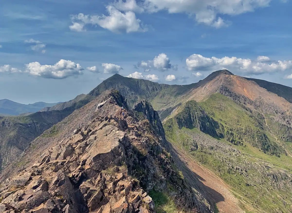
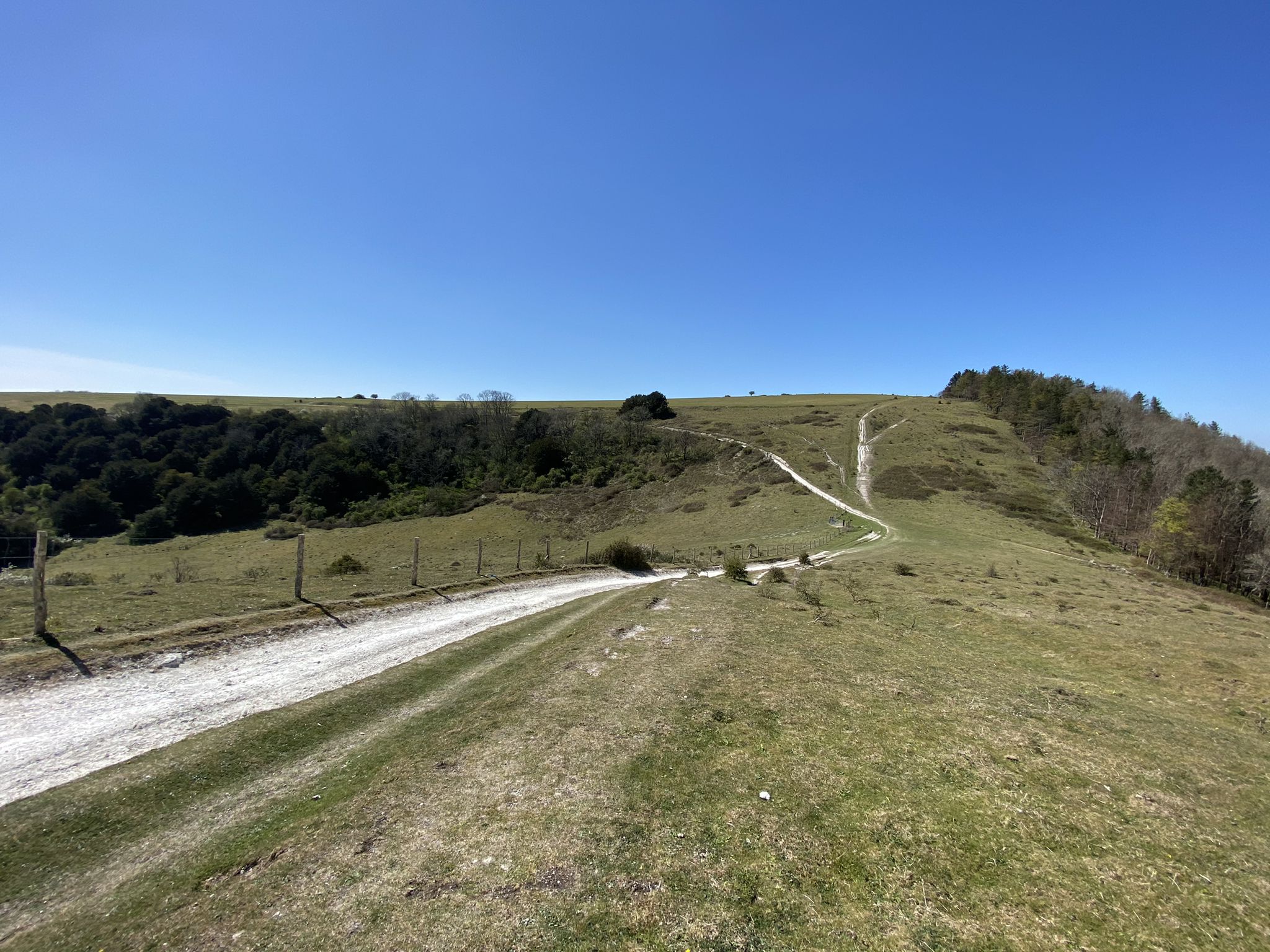
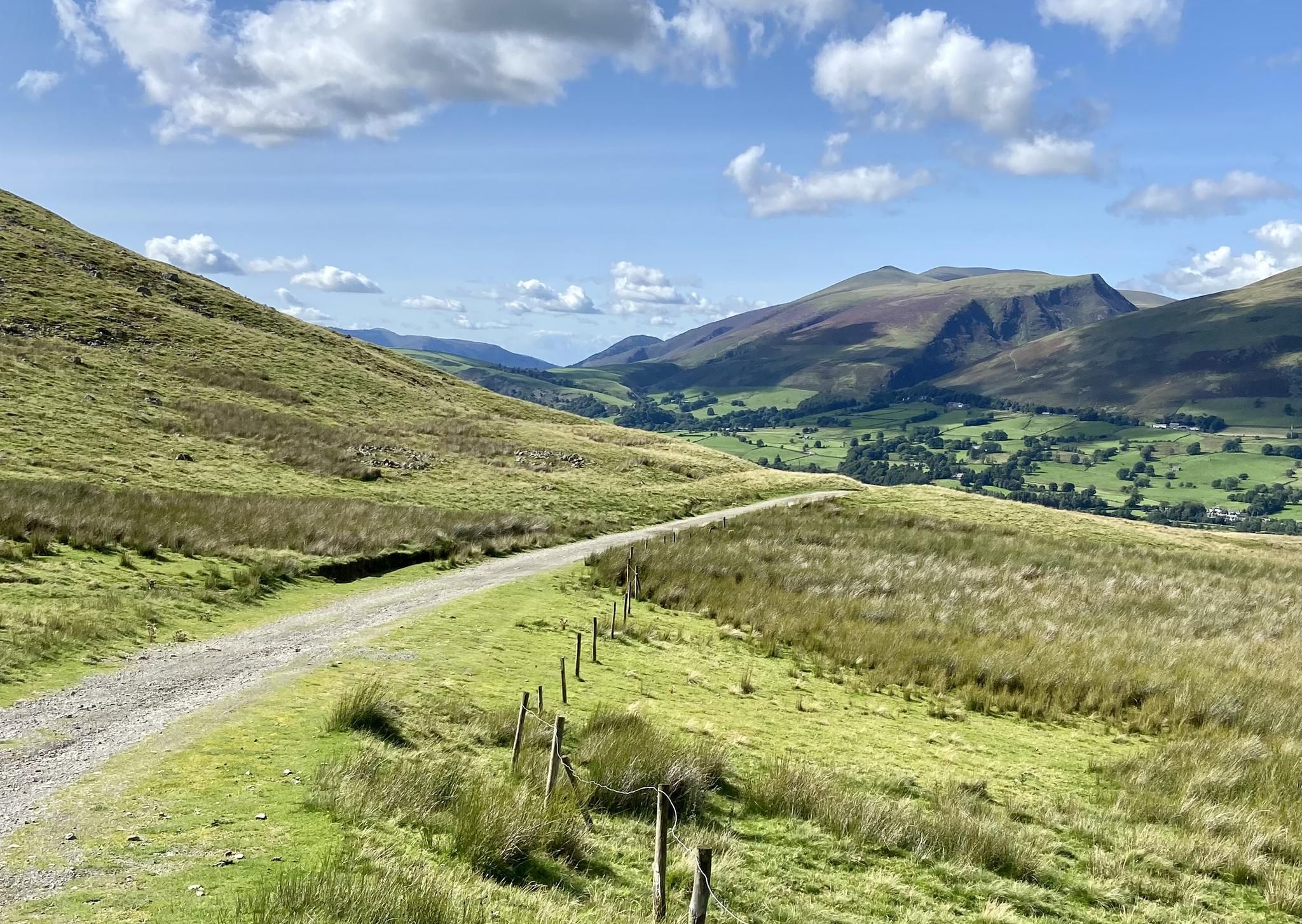
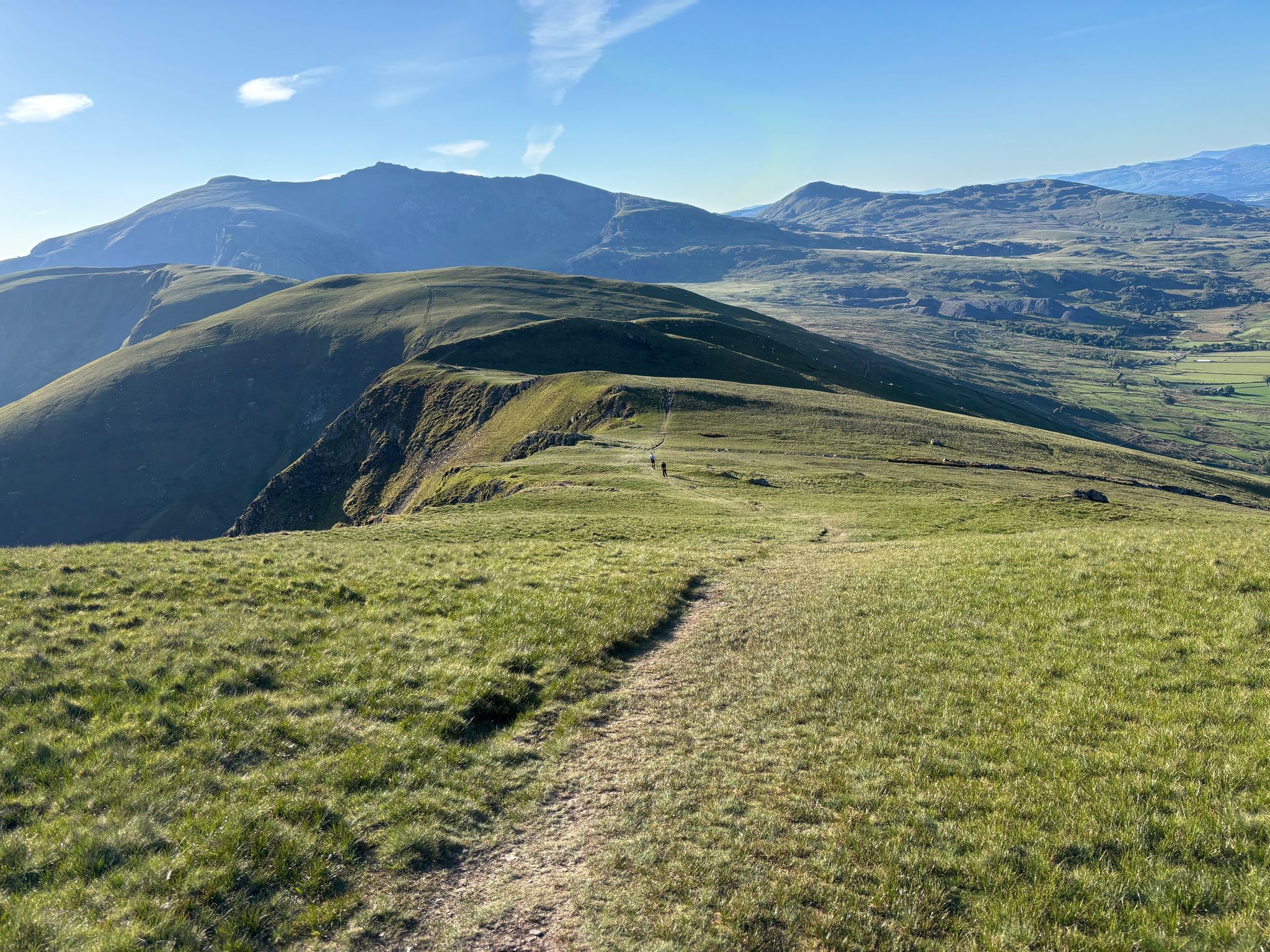
イギリスでのの他の冒険


コミュニティからのヒント

子供から大人まで楽しめる素晴らしいロケーションです。食事や飲み物のオプションがたくさんあります。桟橋の端がまだ閉鎖されているのは残念ですが、もっと多くの人が訪れることで、必要な修理のための資金が生成されることを願っています。
1
0

頂上は岩場です。ヨークシャーの3つのピークの最初の場合は、時間をかけてください。 nice steady walk down which is a nice grade
0
0

ヨークシャー3ピークスの一部で、素晴らしい景色が楽しめます。頂上まで少し険しい道のりですが、それだけの価値はあります。
0
0

植生の間から見えるセント・ポール大聖堂の絶対的なクールな眺め!!!! 絶対的なハイライト!
0
0

グレート・リッグ(標高766メートル、2,513フィート)は、フェアフィールド・ホースシューのサミットピークの1つです。フェアフィールドへストーン・アーサーから登ってくる場合の連絡サミットとしても機能します。いずれにしても、ストーン・アーサーへの尾根と、ヘロン・パイク、そして遠くのウィンダミア湖へと続く尾根を見下ろす眺めの良い快適な場所です。
0
0
High Pike、アンブルサイド側の標高656メートルの山で、通常アンブルサイドからのクラシックなフェアフィールドルートを登ってアクセスする人気のワイントライトの頂上です。これは急な尾根歩きで、Low Pikeも含まれます。石垣が尾根筋に沿って伸び、ウィンダミア湖を背景にした尾根沿いの眺めは非常に美しいです。頂上は石積みのケルンでマークされています。
0
0


komootモバイルアプリでインスピレーションを得よう


さらに探索
他の地域の最高のランニングトレイル & ルートを見てみましょう。
