カヴァレーノのおすすめウォーキング&ハイキングルート
4.3
(4563)
18,942
ハイカー
62
ハイキング
カヴァレーノ周辺でのハイキングは、景色を満喫するのに最適な手段のひとつですが、適切なハイキングルートを見つけることは簡単ではありません。 カヴァレーノ周辺の人気ハイキング&ウォーキングコースを参考にすれば、行きたいルートをすぐに見つけられます。
最終更新日: 10月 24, 2026
4.7
(549)
2,720
ハイカー
16.5km
05:47
740m
740m
難しいハイキング. 標準以上のフィットネスレベルが必要です。 ほとんどが歩ける道です。足元への注意が必要です。
4.7
(572)
1,825
ハイカー
中程度のハイキング. ある程度のフィットネスレベルが必要です。 ほとんどが歩ける道です。足元への注意が必要です。

4.8
(10)
65
ハイカー
5.75km
01:48
230m
220m
Hike the easy Sentiero delle Cime (Trail 500) for 3.6 miles (5.8 km), gaining 747 feet (228 metres) with great Dolomite views.
4.6
(246)
1,402
ハイカー
7.12km
02:10
240m
240m
中程度のハイキング. ある程度のフィットネスレベルが必要です。 ほとんどが歩ける道です。足元への注意が必要です。
4.6
(8)
22
ハイカー
12.4km
03:38
350m
350m
Hike from Ronzone to Passo della Mendola via Route 527, a moderate 7.7-mile (12.4 km) route with 1150 feet (350 metres) elevation gain.
さらに多くのルートや他のユーザーのおすすめ情報を確認できます。
すでにアカウントをお持ちですか?
おすすめのツアーは他のkomootユーザーが実際に経験した何千ものアクティビティに基づいています。





コミュニティからのヒント


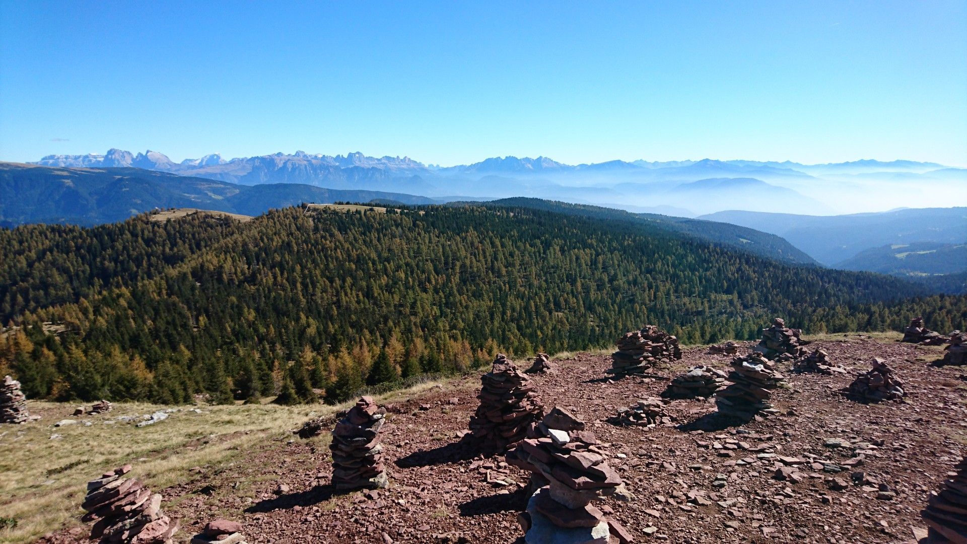
From the terrace while enjoying an espresso, you have a fantastic view of the Dolomites, such as the Rosengarten and the Peitlerkofel.
6
0
Beautiful old hut right after the Mendel Pass (approx. 20 min)... So it's more of a stop on the way back from Monte Roen.
5
0
Here the hiker is fenced in and not the cattle😄.
4
0
A very nice Malga (a mountain inn) with three rooms and 14 beds. Bookings can be made in advance. The Kaiserschmarrn (sweet pancakes) is highly recommended.
5
0

komootモバイルアプリでインスピレーションを得よう


さらに探索
他の地域の最高のハイキングを見てみましょう。
