カルツァーノのおすすめウォーキング&ハイキングルート
4.5
(2252)
15,091
ハイカー
275
ハイキング
カルツァーノ周辺でのハイキングは、景色を満喫するのに最適な手段のひとつですが、適切なハイキングルートを見つけることは簡単ではありません。 カルツァーノ周辺の人気ハイキング&ウォーキングコースを参考にすれば、行きたいルートをすぐに見つけられます。
最終更新日: 8月 19, 2026
5.0
(3)
13
ハイカー
11.1km
04:43
980m
980m
Hike the difficult Trodo dei Salti Trail, a 6.9-mile route with 3209 feet of elevation gain, taking about 4 hours and 42 minutes.
9
ハイカー
8.12km
02:29
260m
260m
中程度のハイキング. ある程度のフィットネスレベルが必要です。 進みやすいルートです。あらゆるスキルレベルに適しています。

無料新規登録
15
ハイカー
6.95km
01:49
50m
50m
初級者向けハイキング. あらゆるフィットネスレベルに適しています。 進みやすいルートです。あらゆるスキルレベルに適しています。
5
ハイカー
5.52km
01:41
190m
180m
初級者向けハイキング. あらゆるフィットネスレベルに適しています。 進みやすいルートです。あらゆるスキルレベルに適しています。
8
ハイカー
8.71km
02:16
50m
50m
中程度のハイキング. ある程度のフィットネスレベルが必要です。 進みやすいルートです。あらゆるスキルレベルに適しています。
さらに多くのルートや他のユーザーのおすすめ情報を確認できます。
無料新規登録
すでにアカウントをお持ちですか?
おすすめのツアーは他のkomootユーザーが実際に経験した何千ものアクティビティに基づいています。
無料アカウントで今日から始めよう
次の冒険が待っています。
ログインまたは登録
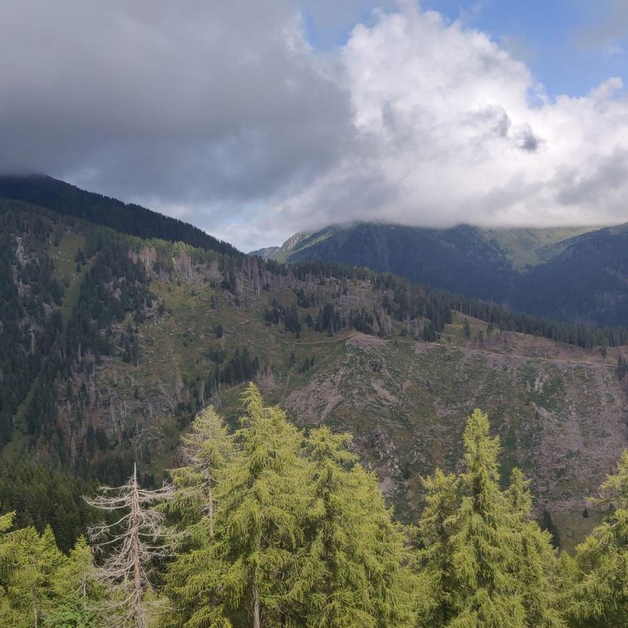
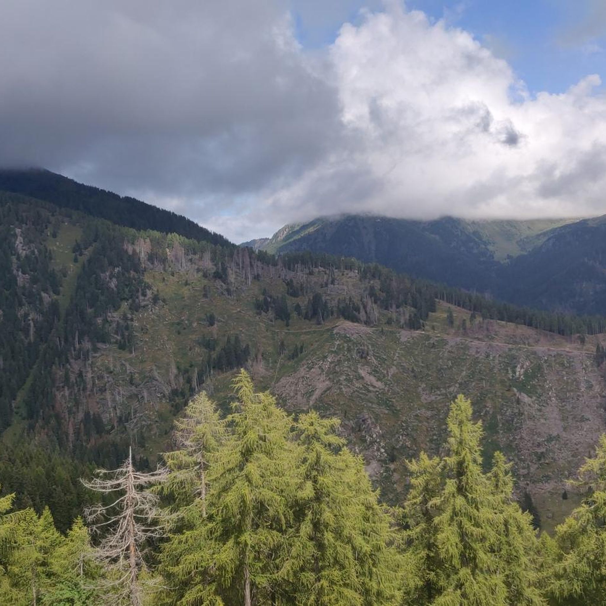
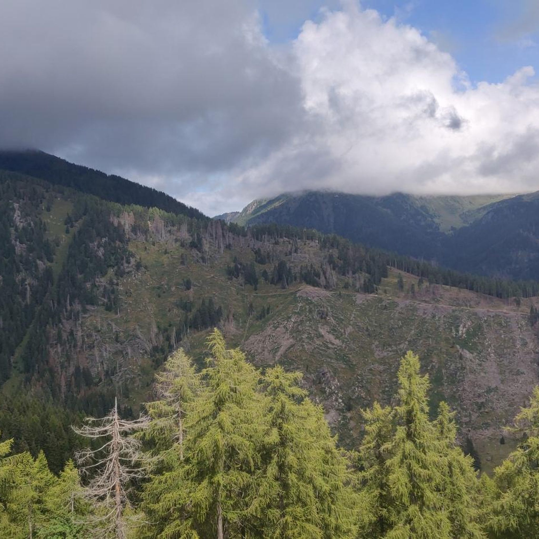
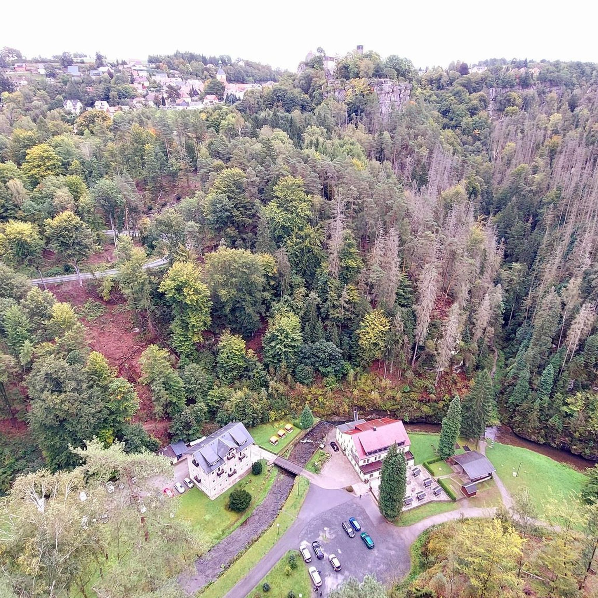
コミュニティからのヒント

興味深い旧市街がある小さな村で、多くの奉納品があり、キリストの受難の道に捧げられたルートがあります。
0
0
Manghen峠への登りの通過地点。歴史的中心部には多くの votive edicole があります。
0
0

On the Venetian bridge, built in 1498, two Baroque shrines were added in 1659 during its expansion, embellished with graffiti by Jacopo Fiorentini. The bridge, a symbol of the "Little Venice of Trentino," connects the old part of Borgo with the new part built after the last conflicts.
0
0
In December 1825, a catastrophic flood invaded Borgo and destroyed the reclamation work on the Brenta River, begun in 1811 between Caldonazzo, Pergine, and Calceranica. The work was abandoned and the project remained incomplete.
0
0

Short, steep and mostly rocky hiking trail to the Castello.
0
0

A very nice rest area with a place to charge our batteries. Apart from us, however, there were only other drivers there.
0
0

Open-air museum on the Valsugana cycle path
0
0

komootモバイルアプリでインスピレーションを得よう


さらに探索
他の地域の最高のハイキングを見てみましょう。
