チェンブラリジニャゴのおすすめウォーキング&ハイキングルート
4.6
(626)
3,141
ハイカー
29
ハイキング
チェンブラリジニャゴ周辺でのハイキングは、景色を満喫するのに最適な手段のひとつですが、適切なハイキングルートを見つけることは簡単ではありません。 チェンブラリジニャゴ周辺の人気ハイキング&ウォーキングコースを参考にすれば、行きたいルートをすぐに見つけられます。
最終更新日: 10月 10, 2026
4.5
(22)
63
ハイカー
11.1km
03:23
390m
390m
Hike the Dürerweg: Lago Santo and Rifugio Sauch Loop, a moderate 6.9-mile trail through forests, past Lago Santo, and historical Dürer Path.
4.3
(8)
33
ハイカー
14.4km
04:23
460m
460m
中程度のハイキング. ある程度のフィットネスレベルが必要です。 進みやすいルートです。あらゆるスキルレベルに適しています。

5.0
(4)
26
ハイカー
7.08km
02:48
530m
530m
Hike the Historic cobblestone trail to Lago Santo (via Route 410), a moderate 4.4-mile route through vineyards and alpine forest to a pictur
4.3
(3)
5
ハイカー
9.97km
03:08
350m
350m
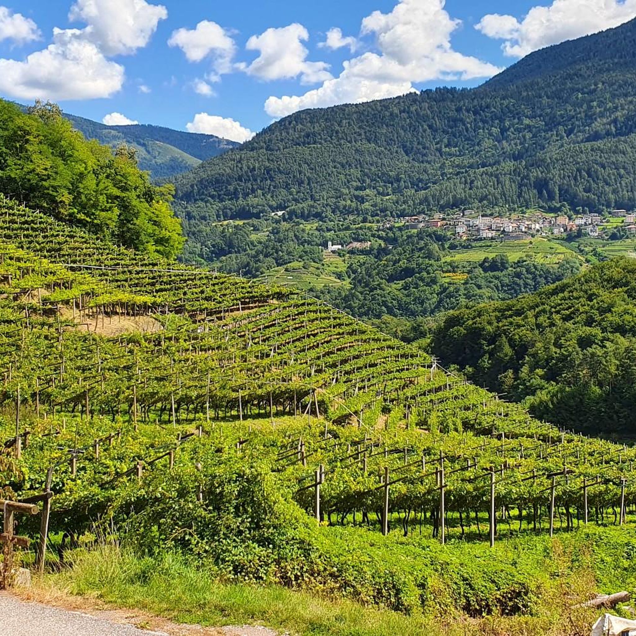
Trail through Trentino's vineyards and porphyry-roofed mountain huts to peaceful Lago Santo.
1
ハイカー
11.0km
04:00
550m
550m
Hike the moderate Piz dele Agole Trail, a 6.8-mile route with 1,808 feet of elevation gain, offering panoramic views of Cembra Valley.
さらに多くのルートや他のユーザーのおすすめ情報を確認できます。
すでにアカウントをお持ちですか?
おすすめのツアーは他のkomootユーザーが実際に経験した何千ものアクティビティに基づいています。
無料アカウントで今日から始めよう
次の冒険が待っています。

コミュニティからのヒント

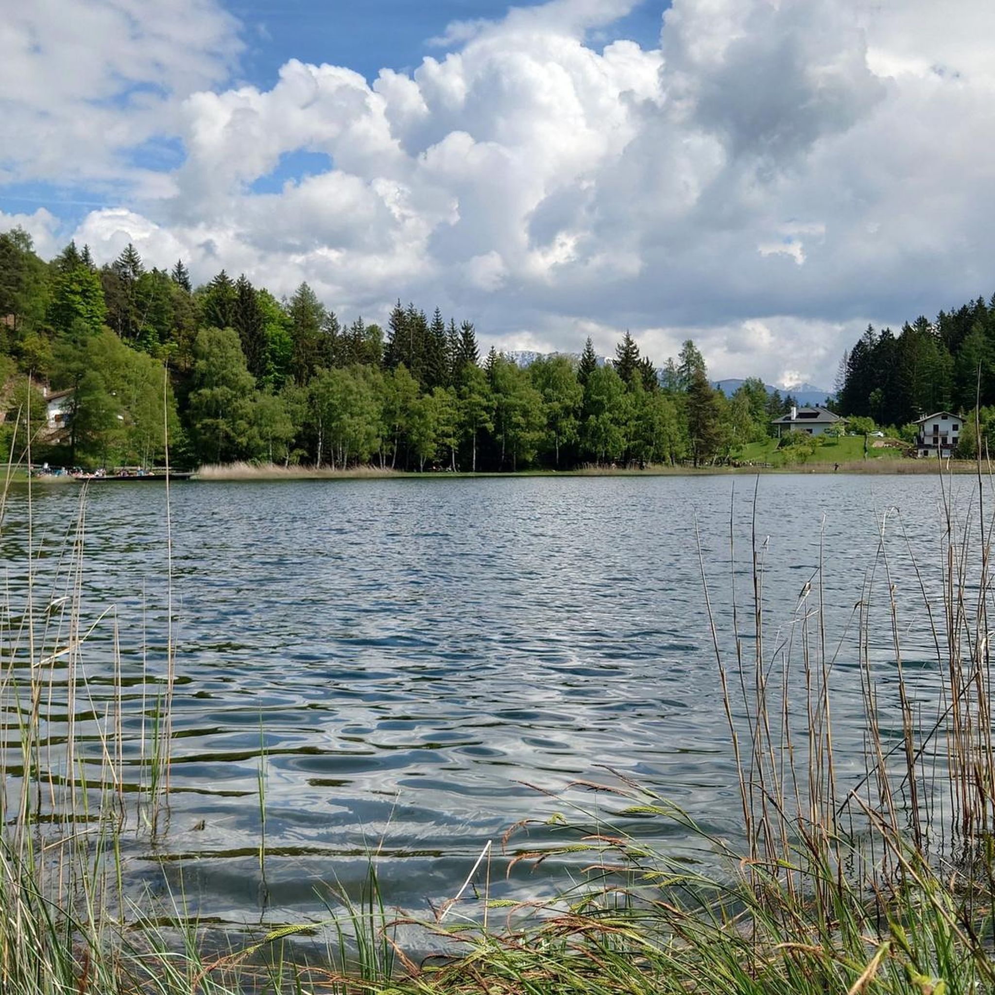
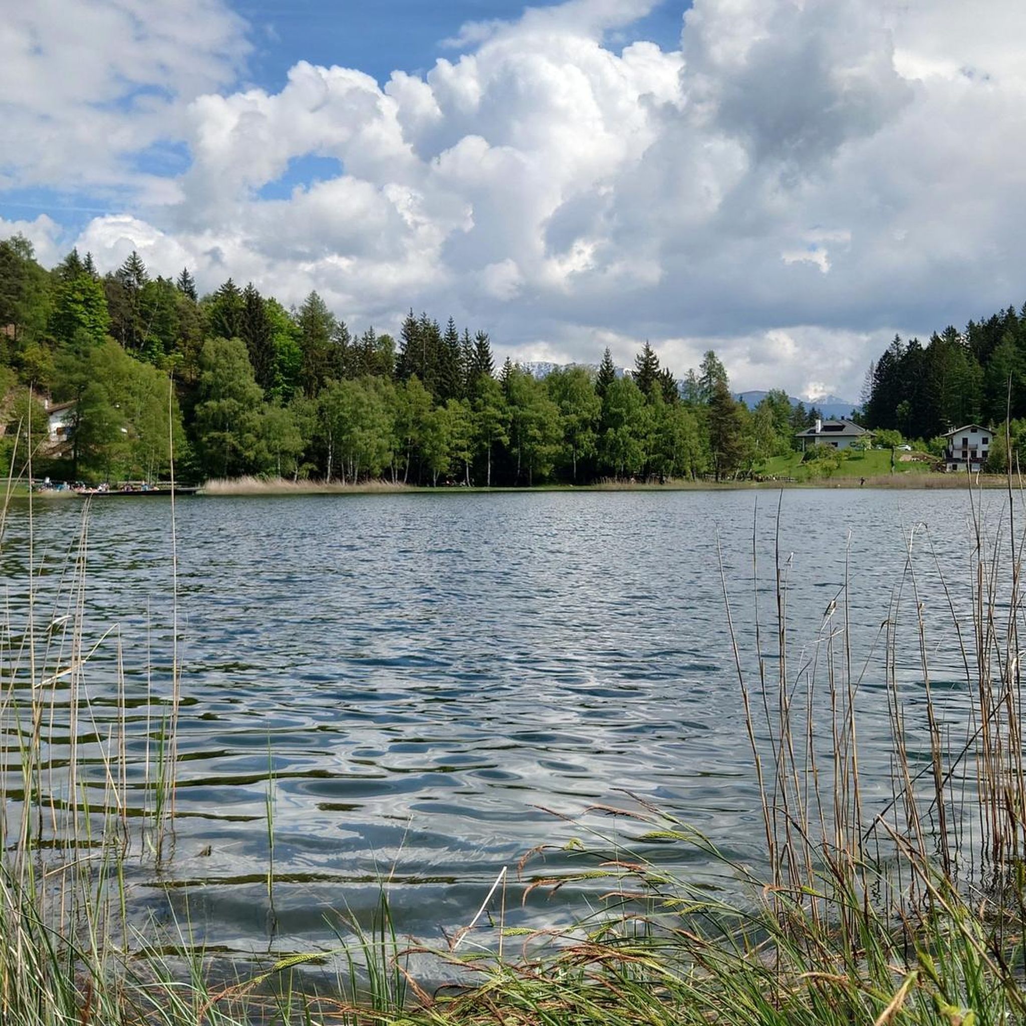
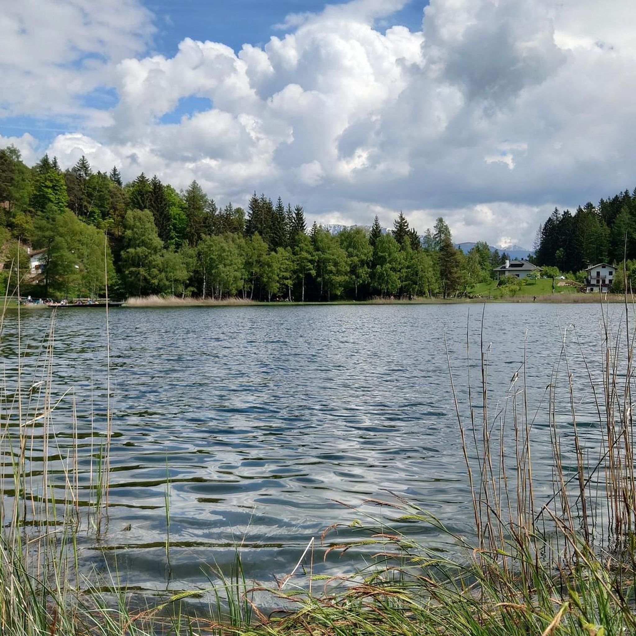
Holy Lake to visit in summer and winter. If you have legs from Holy Lake you can take the European path E5
0
0
With snow, with rain, day or night, a beautiful trail to ride.
0
0

Stunning view of the Adige Valley
0
0

Bikes to carry for some stretches, path that goes down towards the two huts, sometimes cycleable, others not at all
0
0

Cima Castion, nestled in the Trodena park at an altitude of 1530 m.
0
0

A spectacular panorama of the Adige Valley, surrounded by nature. A nearby sign details the view. A place of peace, truly wonderful.
1
0

komootモバイルアプリでインスピレーションを得よう


さらに探索
他の地域の最高のハイキングを見てみましょう。
