ロンチェーニョテルメのおすすめウォーキング&ハイキングルート
4.4
(713)
4,607
ハイカー
66
ハイキング
ロンチェーニョテルメ周辺でのハイキングは、景色を満喫するのに最適な手段のひとつですが、適切なハイキングルートを見つけることは簡単ではありません。 ロンチェーニョテルメ周辺の人気ハイキング&ウォーキングコースを参考にすれば、行きたいルートをすぐに見つけられます。
最終更新日: 9月 26, 2026
4.6
(43)
244
ハイカー
12.2km
05:22
750m
750m
Alpine loop through Trentino peaks, connecting serene mountain lakes with summit views of the Lagorai chain.
4.6
(13)
54
ハイカー
13.6km
04:37
620m
620m
Hike 8.5 miles (13.6 km) from La Bassa Pass to Rifugio Serot, gaining 2038 feet (621 metres) through scenic Lagorai meadows.

5.0
(2)
33
ハイカー
10.3km
02:52
190m
190m
Hike the moderate 6.4-mile Alta Via del Porfido: Stage 4 Malga Prese - Val Portela Variant in Lagorai, taking 2h 51m.
5.0
(2)
6
ハイカー
15.0km
06:42
1,070m
1,070m
Alpine trail through Lagorai peaks ending at a WWI chapel overlooking Val dei Mocheni.
4.8
(25)
99
ハイカー
12.1km
05:33
880m
880m
難しいハイキング. 標準以上のフィットネスレベルが必要です。 全般的に進みやすいルートです。安定して歩行できる技術が必要です。
さらに多くのルートや他のユーザーのおすすめ情報を確認できます。
すでにアカウントをお持ちですか?
おすすめのツアーは他のkomootユーザーが実際に経験した何千ものアクティビティに基づいています。
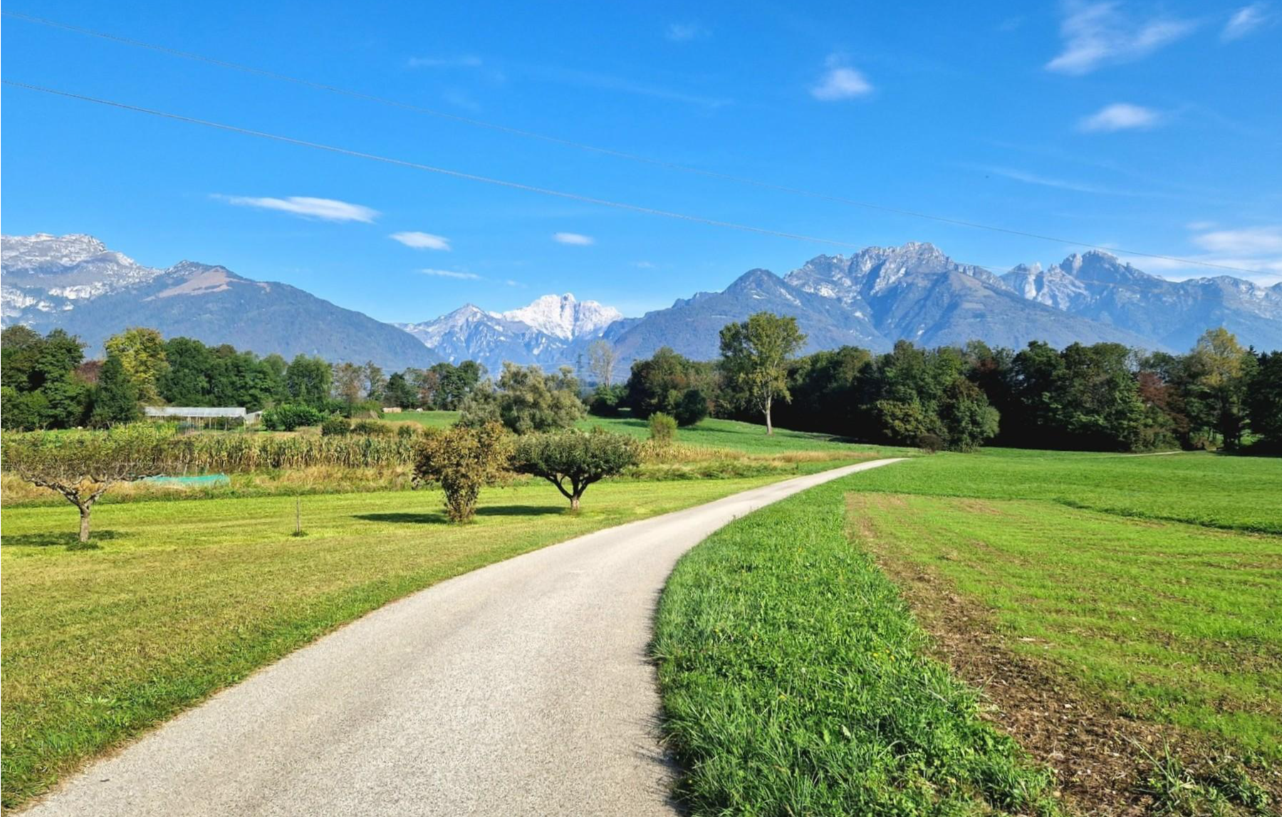
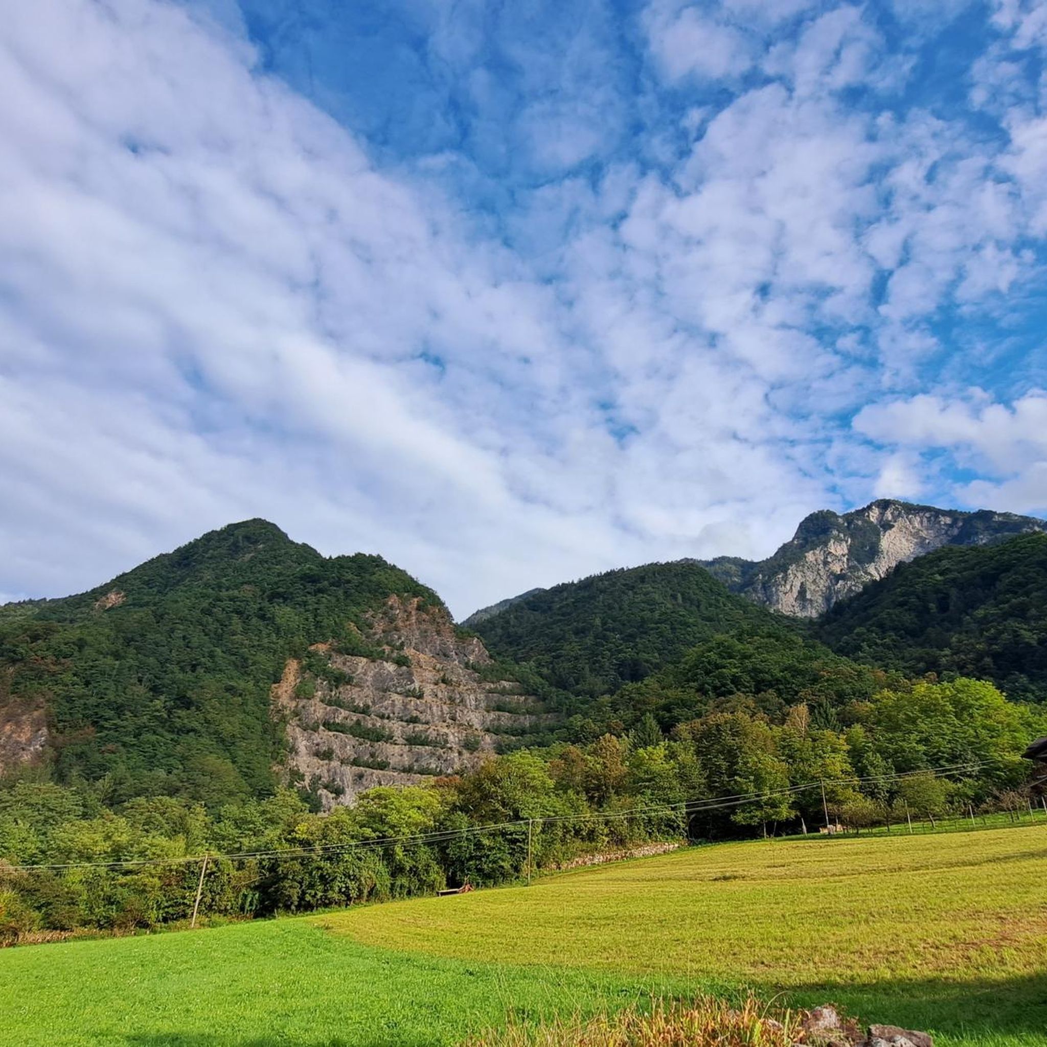
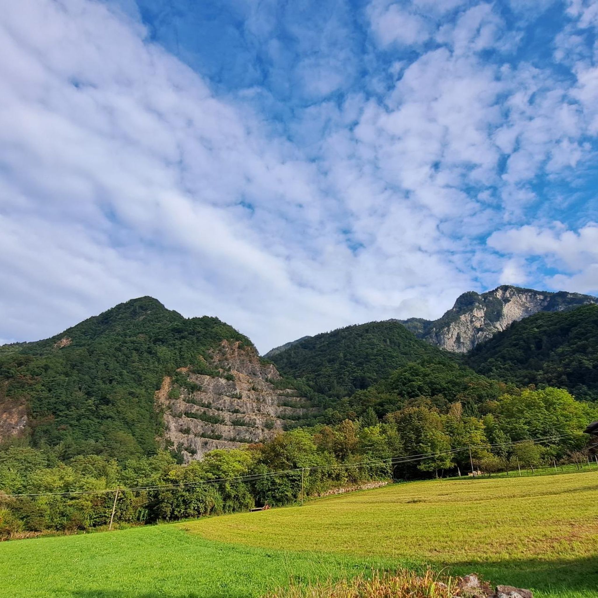
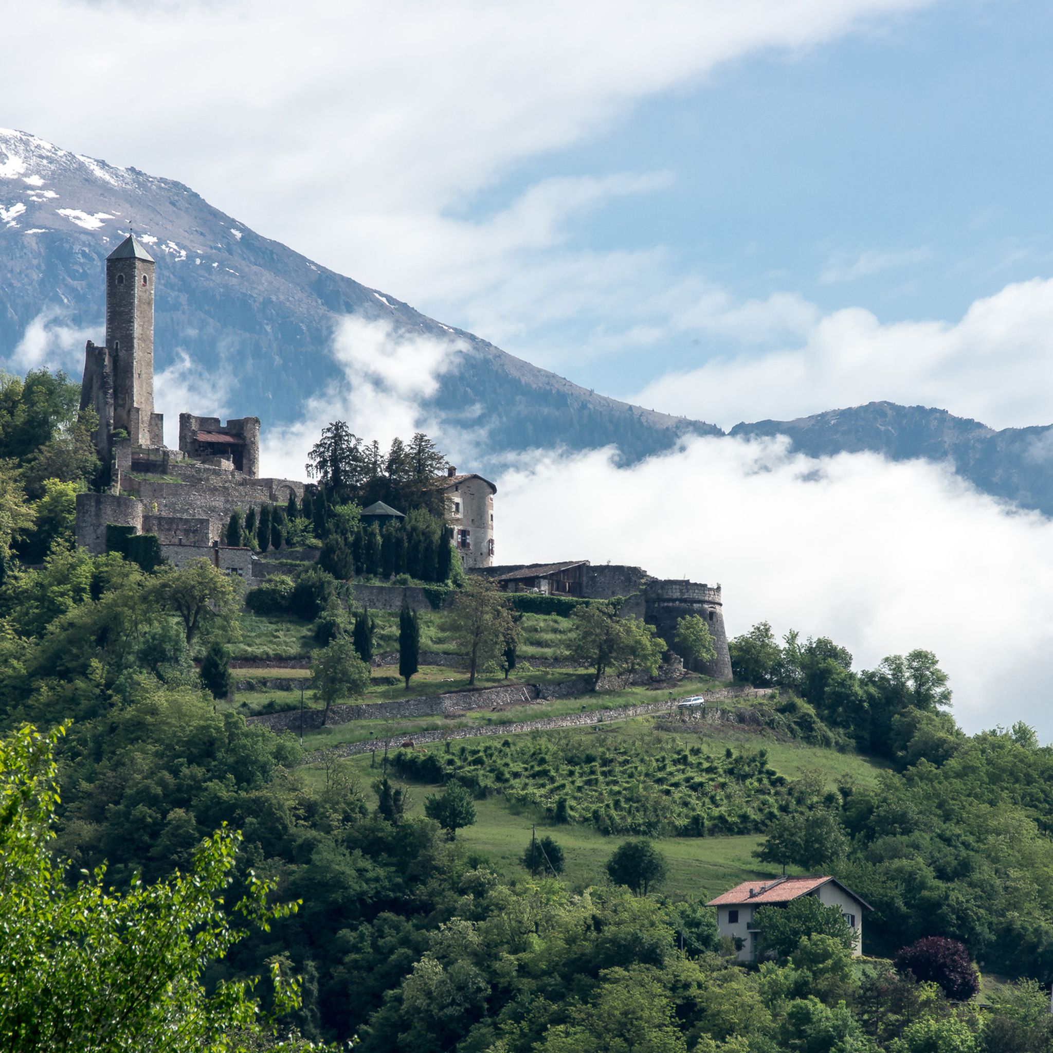


コミュニティからのヒント


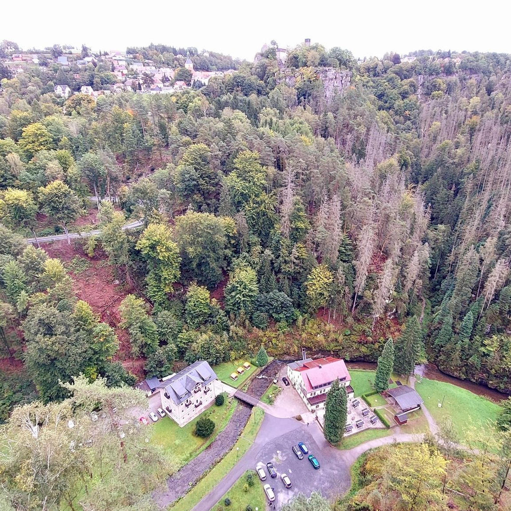
地元の人々によって手入れされ管理されている山岳環境における生物多様性のコーナー
0
0
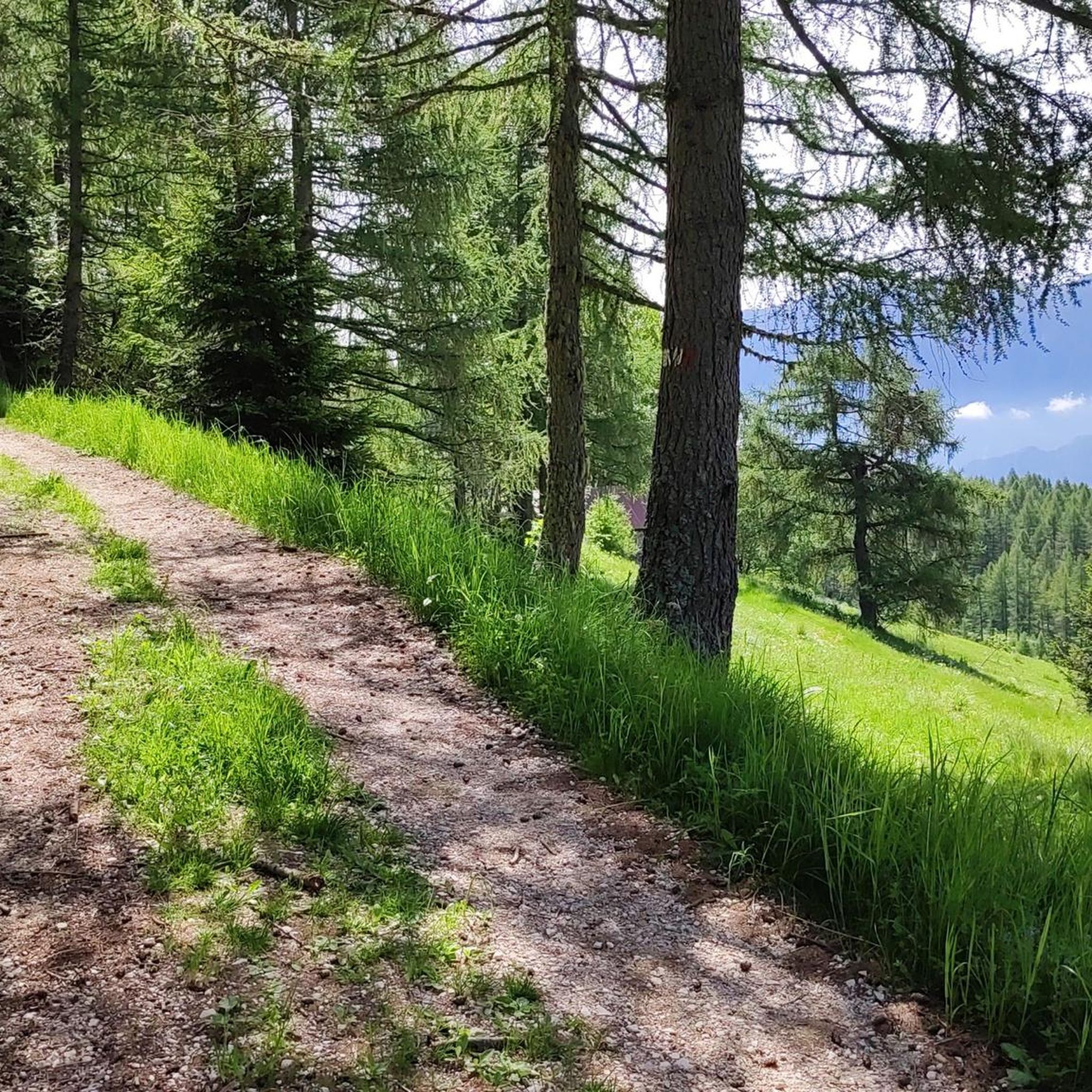
Le Preseの牧草地と山小屋は、山の活性化のために完璧に手入れされています
0
0

Superb view from the top. Easy to get to.
1
0


komootモバイルアプリでインスピレーションを得よう


さらに探索
他の地域の最高のハイキングを見てみましょう。
