ボンドーネのおすすめウォーキング&ハイキングルート
4.3
(578)
2,689
ハイカー
40
ハイキング
ボンドーネ周辺でのハイキングは、景色を満喫するのに最適な手段のひとつですが、適切なハイキングルートを見つけることは簡単ではありません。 ボンドーネ周辺の人気ハイキング&ウォーキングコースを参考にすれば、行きたいルートをすぐに見つけられます。
最終更新日: 8月 31, 2026
3.5
(8)
21
ハイカー
17.9km
05:58
780m
780m
Embark on a difficult 11.1-mile (17.9 km) hike that connects the serene Lake Toblino with the expansive Lake Idro, a journey that typically takes around 5 hours and 57 minutes…
2
ハイカー
15.1km
05:17
720m
720m
This difficult 9.4-mile hike in Parco Alto Garda Bresciano offers panoramic views of Lake Idro and historic WWI sites, leading to Monte Stin

無料新規登録
2
ハイカー
8.29km
03:32
640m
640m
Hike the moderate 5.2 miles (8.3 km) Strada di Valle Trail in Parco Alto Garda Bresciano, gaining 2098 feet (639 metres).
8.27km
03:11
590m
590m
Hike the moderate 5.1-mile Armo - Bocca di Valle Trail in Parco Alto Garda Bresciano, gaining 1946 feet over 3 hours and 10 minutes.
4.7
(78)
485
ハイカー
8.18km
03:28
430m
430m
難しいハイキング. ある程度のフィットネスレベルが必要です。 安定して歩行できる技術、丈夫な靴、高標高地での登山経験が必要です。
さらに多くのルートや他のユーザーのおすすめ情報を確認できます。
無料新規登録
すでにアカウントをお持ちですか?
おすすめのツアーは他のkomootユーザーが実際に経験した何千ものアクティビティに基づいています。
無料アカウントで今日から始めよう
次の冒険が待っています。
ログインまたは登録


コミュニティからのヒント


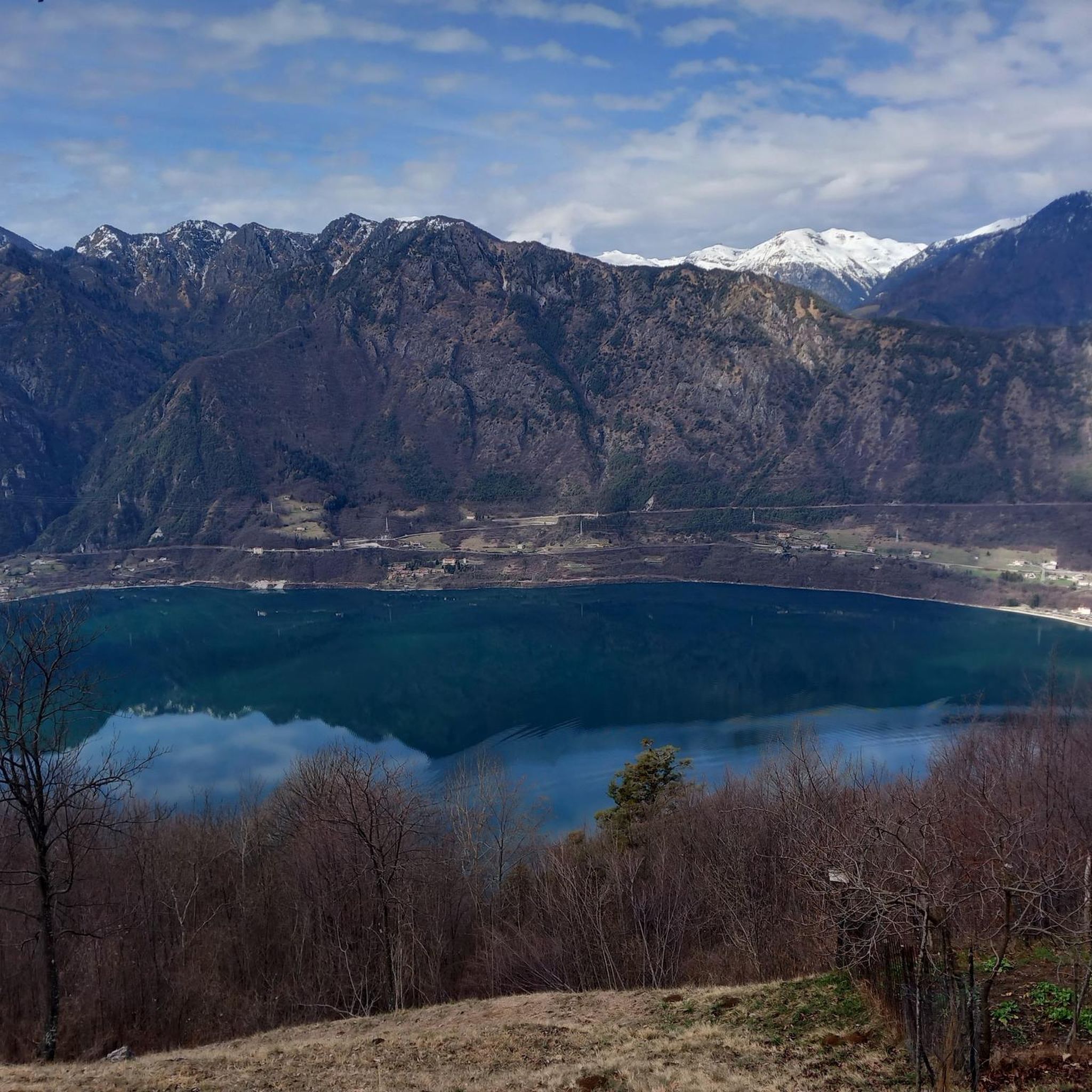
It's a beautiful area where flora and fauna are protected. There are bird observation points that allow you to observe the environment without disturbing others, with raised walkways that allow you to cross marshy areas. The area is absolutely quiet and peaceful, with ample parking.
0
0


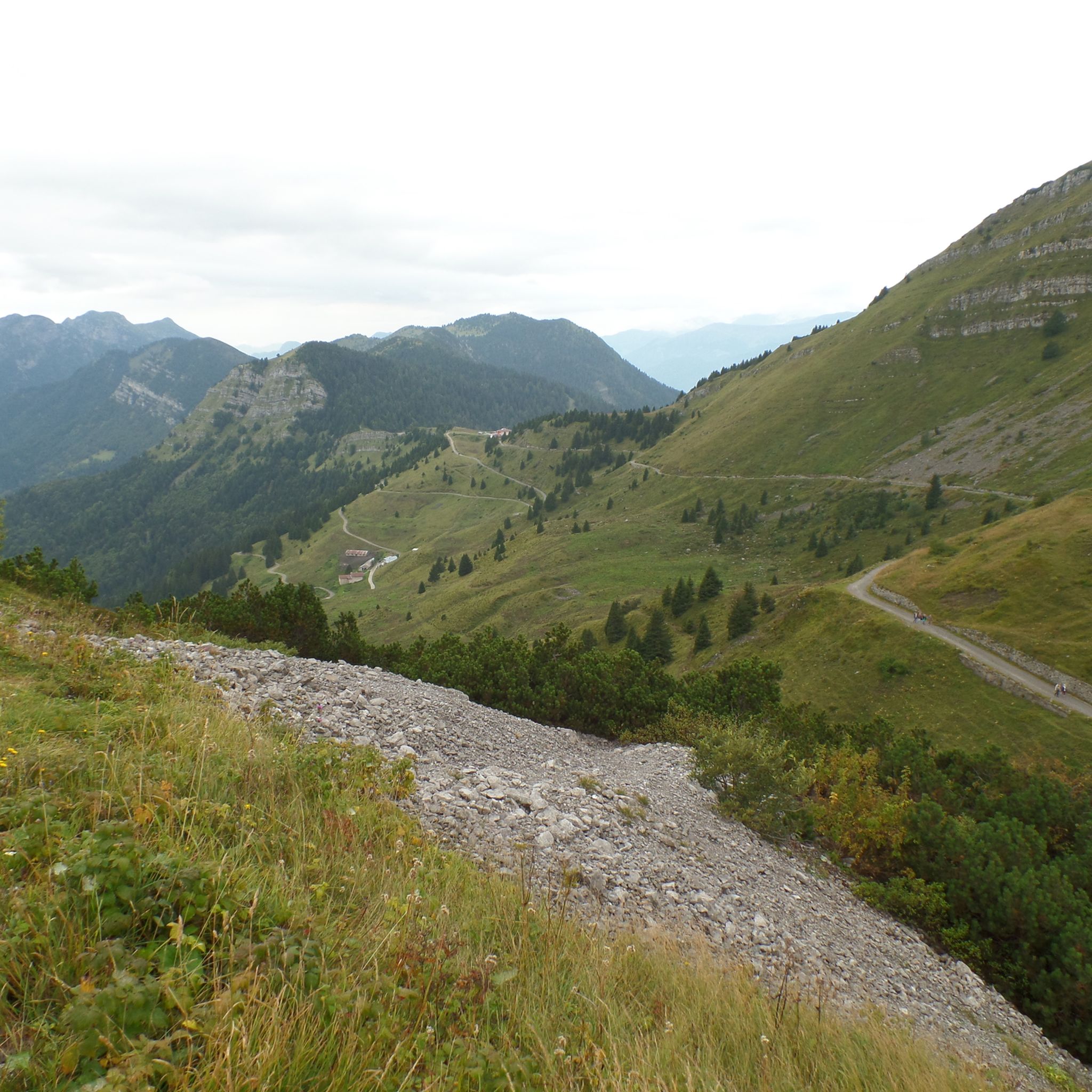
The Rifugio Monte Stino, at 1,437 m, is nestled in the Val Sabbia, between Lake Idro and Lake Garda. Opened in 2014, it offers typical local cuisine and large outdoor spaces. There is no possibility of overnight stay. Next to the refuge is the Chiesetta degli Alpini. It is open all year round, but to book and check openings I recommend visiting the refuge website: https://www.facebook.com/people/Rifugio-Monte-Stino
1
0

the path of the pylons (at the junction with the path of the smugglers) has collapsed and, as a warning sign indicates, it is very difficult and has equipped, slippery parts etc. not recommended for those who suffer from vertigo or carry a very heavy backpack. 🍀 (February 2025)
0
0


Second point to observe the species of birds that reside here
0
0


komootモバイルアプリでインスピレーションを得よう


さらに探索
他の地域の最高のハイキングを見てみましょう。
