オルトレッセンダアルタのおすすめウォーキング&ハイキングルート
4.5
(575)
3,303
ハイカー
22
ハイキング
オルトレッセンダアルタ周辺でのハイキングは、景色を満喫するのに最適な手段のひとつですが、適切なハイキングルートを見つけることは簡単ではありません。 オルトレッセンダアルタ周辺の人気ハイキング&ウォーキングコースを参考にすれば、行きたいルートをすぐに見つけられます。
最終更新日: 9月 15, 2026
4.8
(12)
99
ハイカー
9.42km
03:46
600m
600m
Stream-side forest trail through Valzurio leading to panoramic views of Presolana from historic Rifugio Rino Olmo.
13.4km
07:24
1,310m
1,310m
Alpine trail through working pastures and beech forests to a mountain pass connecting two pristine valleys.

4.5
(87)
435
ハイカー
12.1km
03:53
490m
490m
中程度のハイキング. ある程度のフィットネスレベルが必要です。 全般的に進みやすいルートです。安定して歩行できる技術が必要です。
4.7
(72)
399
ハイカー
19.8km
08:25
1,200m
1,200m
難しいハイキング. 標準以上のフィットネスレベルが必要です。 安定して歩行できる技術、丈夫な靴、高標高地での登山経験が必要です。
4.8
(27)
183
ハイカー
26.5km
10:53
1,570m
1,570m
難しいハイキング. 標準以上のフィットネスレベルが必要です。 全般的に進みやすいルートです。安定して歩行できる技術が必要です。
さらに多くのルートや他のユーザーのおすすめ情報を確認できます。
すでにアカウントをお持ちですか?
おすすめのツアーは他のkomootユーザーが実際に経験した何千ものアクティビティに基づいています。
無料アカウントで今日から始めよう
次の冒険が待っています。

コミュニティからのヒント

標高の高い場所で生産された乳製品の熟成・保存に使用されていた、ベルガモ地方で見られる数少ない古代建築物のひとつです。 RuìのSelterは、石造りの特徴的な構造と、土で覆われたヴォールト屋根を持ち、より有名なトスカーナのBurraieの近縁種です。ただし、それらは内部の水槽に流れる水の流れを特徴としています。ここでは、小さな建物を通過する冷たい空気の流れに置き換えられています。
8
0
歴史によれば、イル・モシェルは774年に、ランゴバルド公アラーノの軍隊と、ヴァッレ・ディ・スカルヴェに沿って彼を追跡したカール大帝の軍隊の一部との間の戦いの舞台となりました。 小屋(5)は、同名の平原にある小さな村を形成しています。 半世紀前はまだ夏の放牧に使われる石造りの小屋でした。今ではすべて、高地の田舎の住居に改装されています。 イル・モシェルは、パッソ・デッロ・スカニェッロとリフ・アルバーニへの、そしてフェランティーノとフェランテへの登山の出発点です。 少し手前の森の中には、可愛らしいビバークがあります。
8
0

カバー付き 1ユーロ 追加パン 1ユーロ 大麦スープ 9ユーロ クリームとスペックとゴルゴンゾーラを添えたニョッキ 13ユーロ ラグーパスタ 12ユーロ ポレンタとグーラッシュまたはポトフ 16ユーロ
0
0


Snow-covered Giants' Cauldrons!
1
0

A very characteristic refuge at the foot of the Presolana at 1,940 meters. It can be climbed from Teveno or Colere (in approximately 1 hour 45 and 2 hours 30 minutes). Several peaks can be reached from the refuge; the Curò refuge can be reached via the Giro delle Orobie trail.
0
0

natural masonry which has the characteristic of maintaining a cool and constant temperature inside
0
0
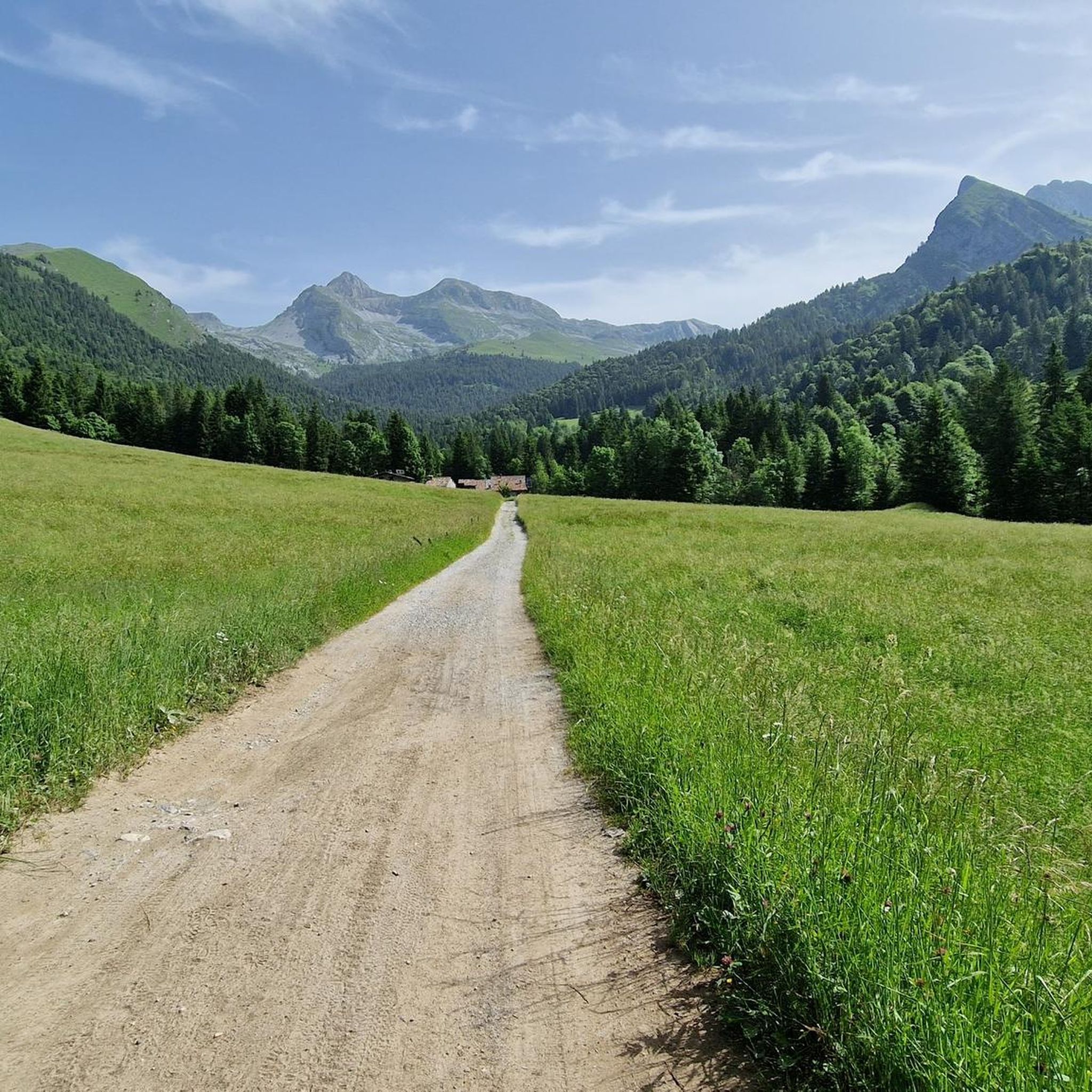
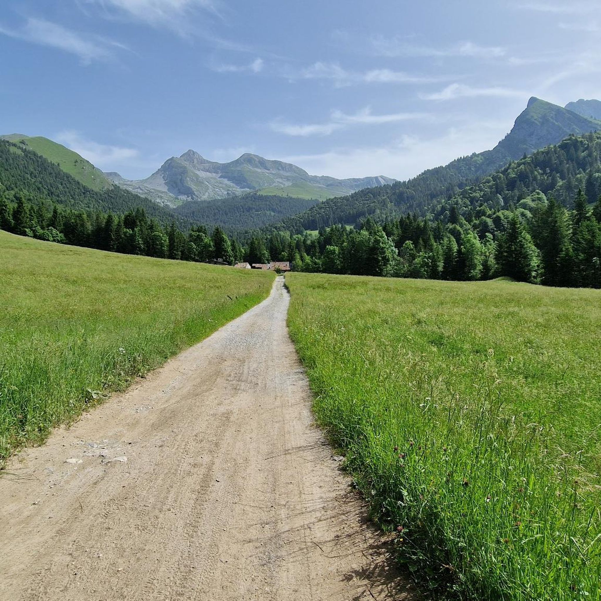
going up from the valley, arriving along the meadow that precedes the huts immersed in the greenery, it is all very impressive
1
0

komootモバイルアプリでインスピレーションを得よう


さらに探索
他の地域の最高のハイキングを見てみましょう。
