ヴェデゼータのおすすめウォーキング&ハイキングルート
4.4
(7546)
42,620
ハイカー
26
ハイキング
ヴェデゼータ周辺でのハイキングは、景色を満喫するのに最適な手段のひとつですが、適切なハイキングルートを見つけることは簡単ではありません。 ヴェデゼータ周辺の人気ハイキング&ウォーキングコースを参考にすれば、行きたいルートをすぐに見つけられます。
最終更新日: 10月 10, 2026
4.4
(41)
122
ハイカー
13.2km
04:26
460m
450m
中程度のハイキング. ある程度のフィットネスレベルが必要です。 全般的に進みやすいルートです。安定して歩行できる技術が必要です。
4.3
(29)
98
ハイカー
11.5km
04:10
450m
450m
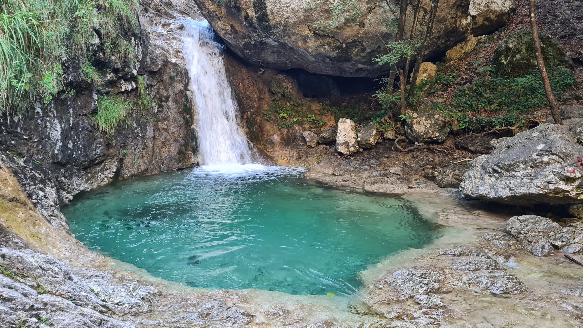
Hike the moderate 7.1-mile Enna River Sources Trail to discover waterfalls, gorges, and natural springs in the Bergamo region.

4.6
(30)
148
ハイカー
14.9km
04:45
610m
610m
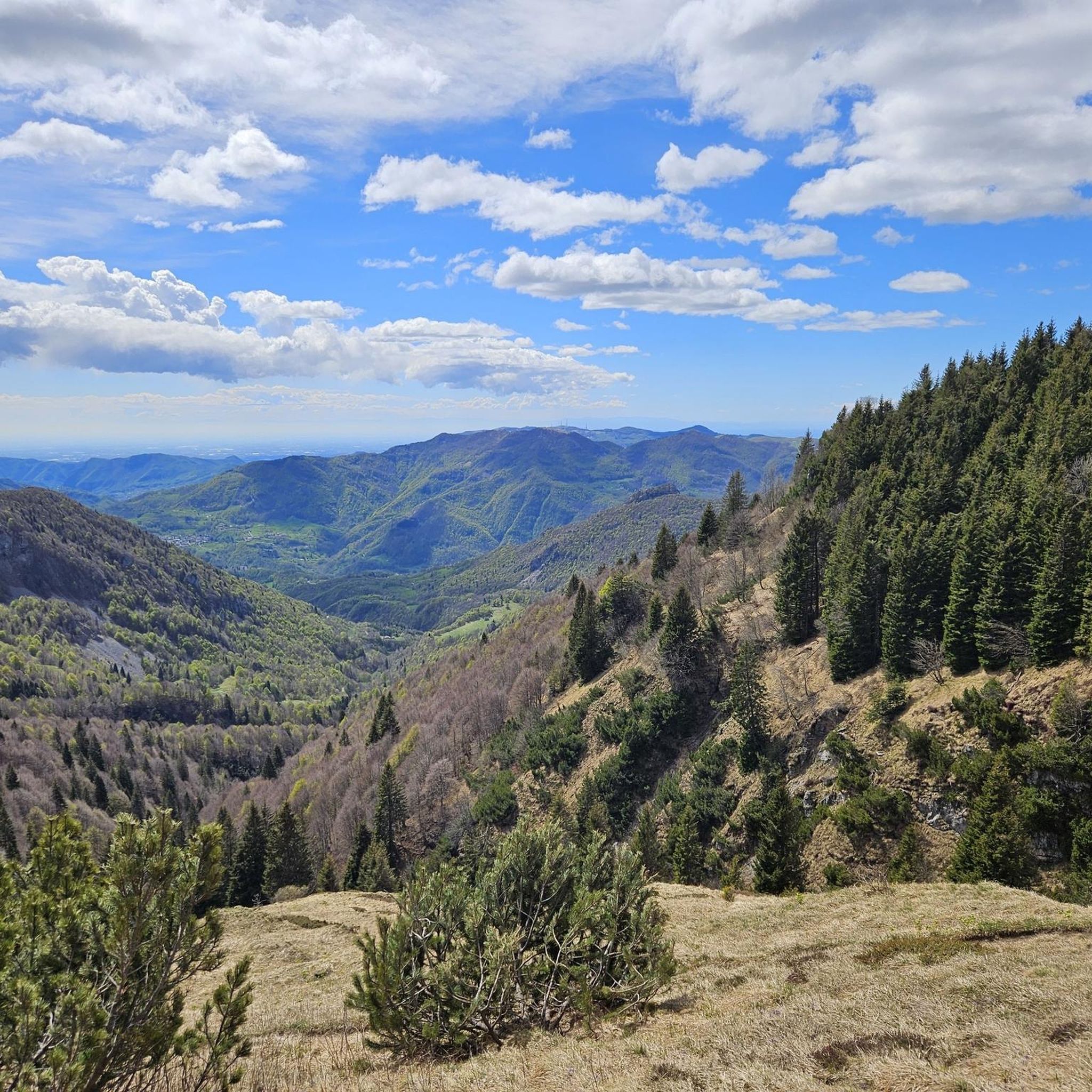
Historic mountain trail through abandoned villages to Piani di Artavaggio's alpine lakes and panoramic views.
4.3
(21)
72
ハイカー
11.3km
03:49
400m
400m
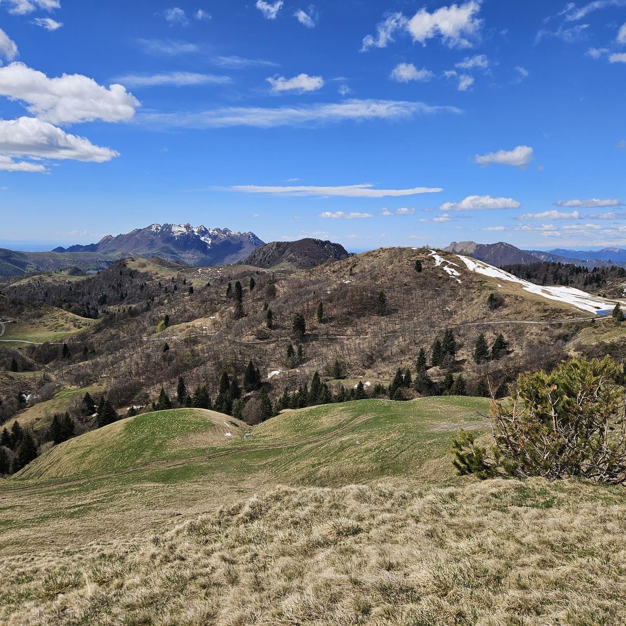
Alpine trail through Val Taleggio's gorges to Italy's tiniest village via moss-covered bridges and waterfalls.
3.7
(3)
24
ハイカー
11.1km
04:39
670m
680m
Hike the moderate 6.9-mile Trail 150 from Reggetto to Piani di Artavaggio, gaining 2203 feet with stunning alpine views.
さらに多くのルートや他のユーザーのおすすめ情報を確認できます。
すでにアカウントをお持ちですか?
おすすめのツアーは他のkomootユーザーが実際に経験した何千ものアクティビティに基づいています。
無料アカウントで今日から始めよう
次の冒険が待っています。


ヴェデゼータでのの他の冒険

コミュニティからのヒント

ハイキング中に給水器に遭遇しました
0
0


A small lake created by the plateau's reservoir. During dry periods, it can transform into a small swamp, while in winter it becomes covered in snow.
0
0

Nice trail with a good part in the woods
0
0
Tree made in 1975, today it is in a state of degradation and abandoned for about fifteen years. It remains a sign of the past, of when the Artavaggio plains were marked by ski slopes, of an era now far from today's.
0
1
Water point useful for quenching thirst and filling water bottles
0
0

komootモバイルアプリでインスピレーションを得よう


さらに探索
他の地域の最高のハイキングを見てみましょう。
