ロヴェッタのおすすめ登山&山歩きルート
4.5
(14)
75
ハイカー
9
ハイキング
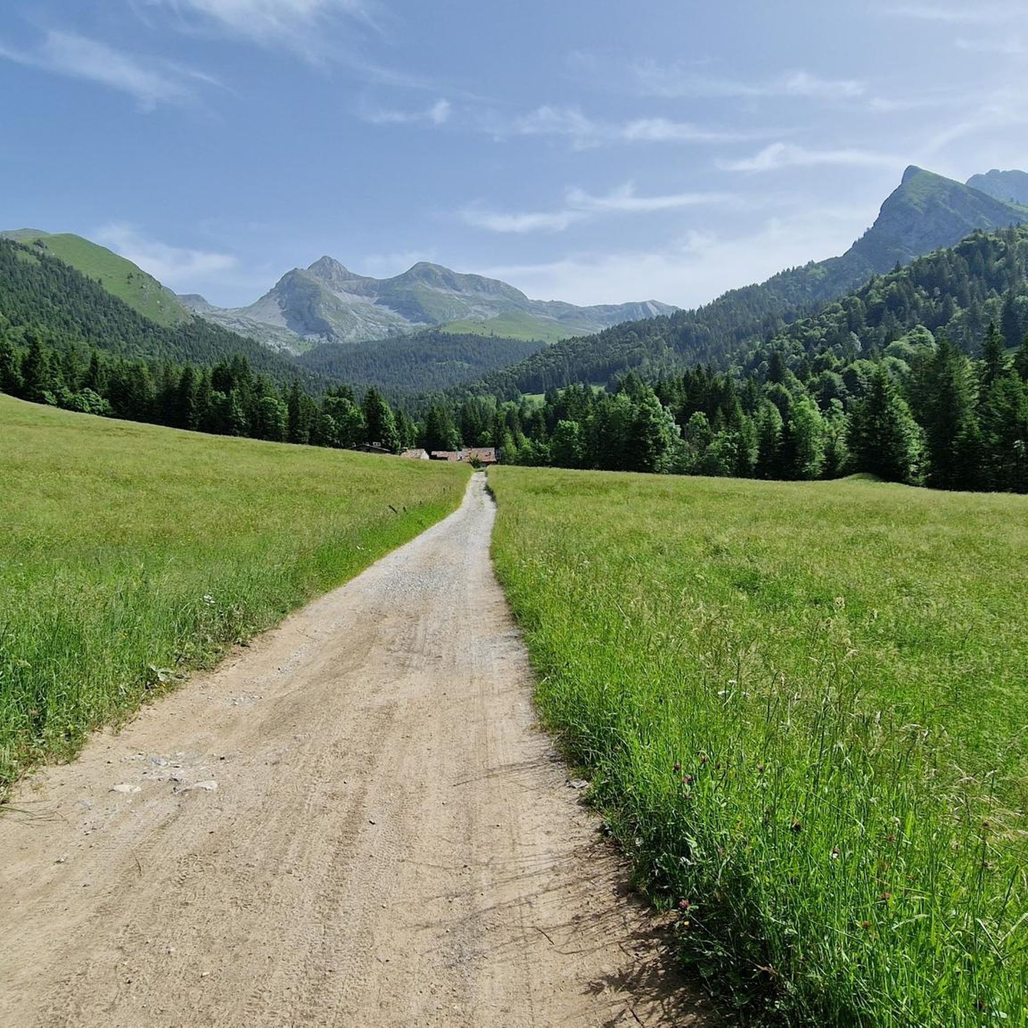
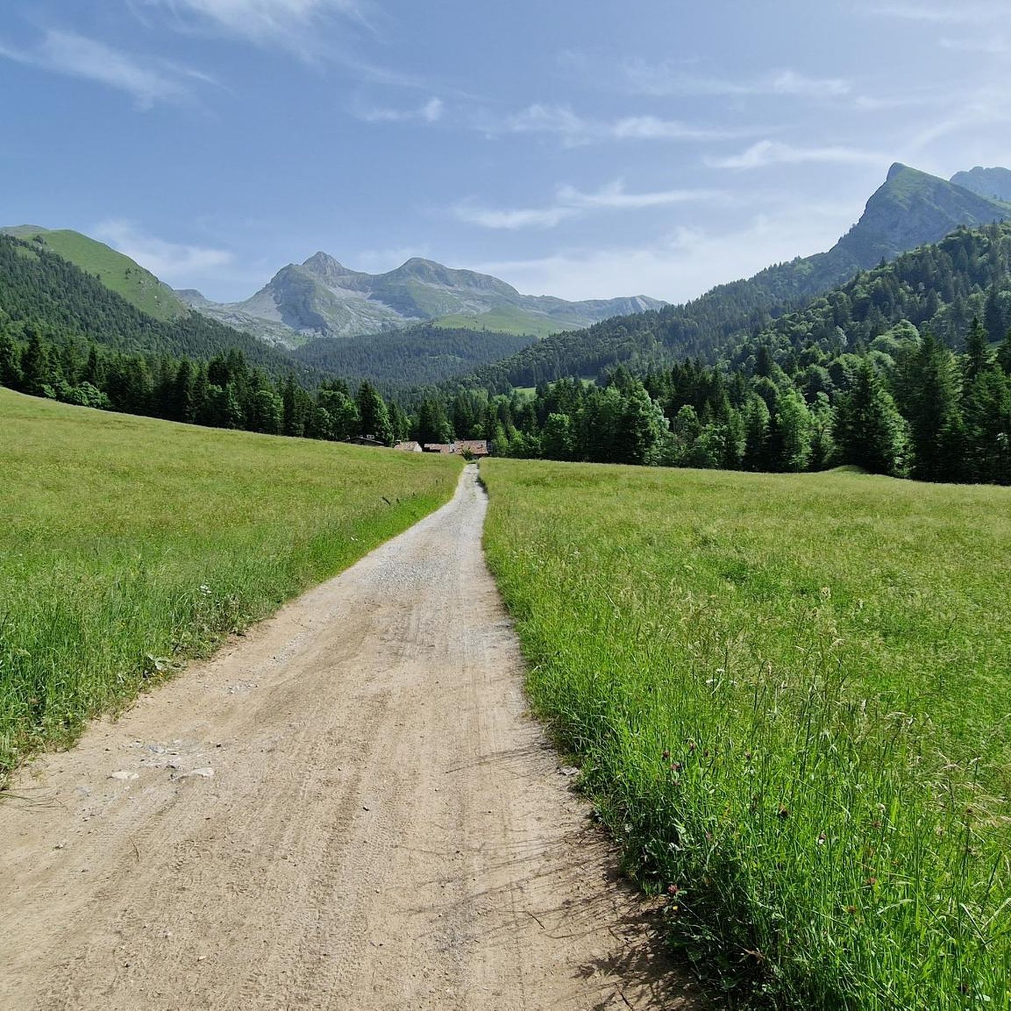
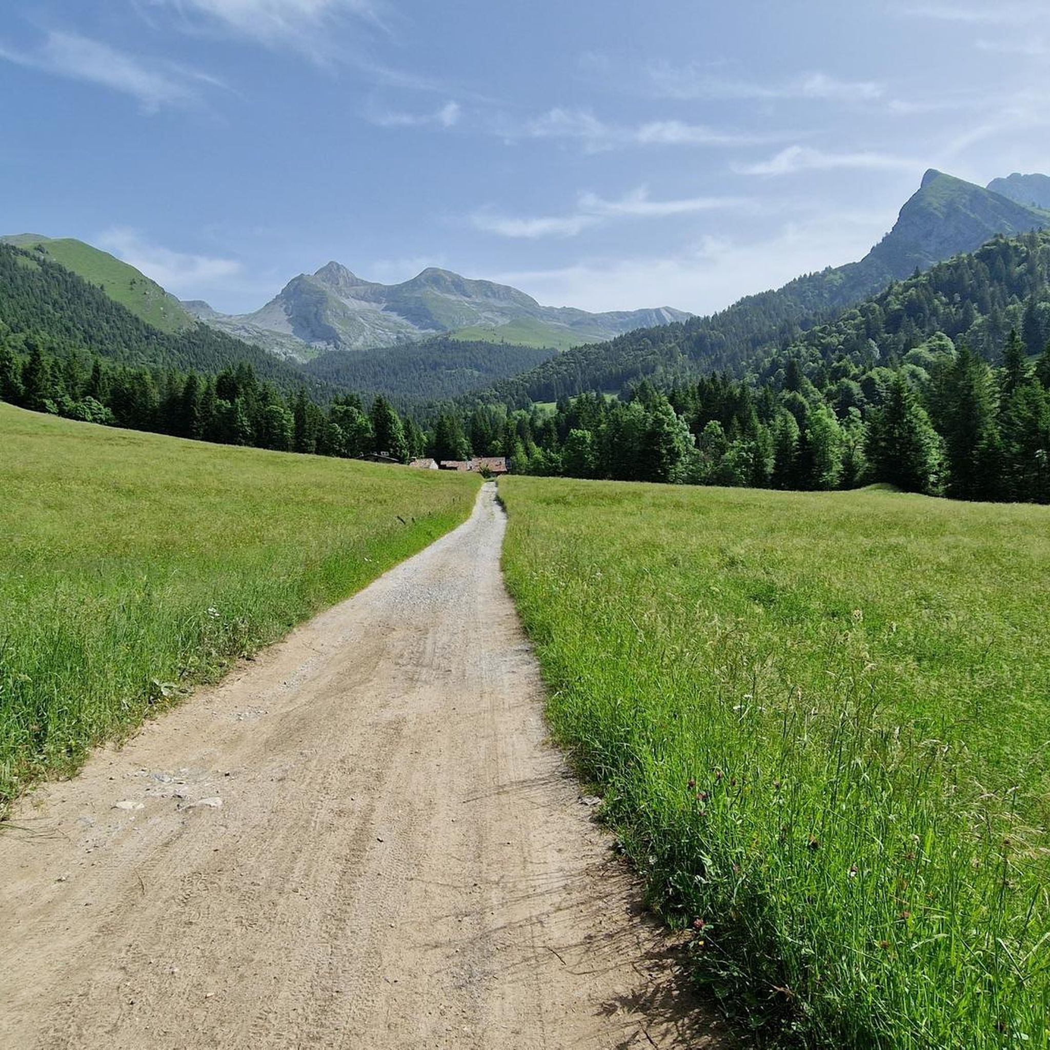
イタリアのセリアーナ渓谷に位置するロヴェッタ周辺の登山は、ベルガモ・アルプスの多様で挑戦的な景観を提供します。この地域は、「オロビエの女王」と称されるピッツォ・デッラ・プレソラーナのような顕著な石灰岩の峰々と、広大な高山トレイルネットワークが特徴です。これらのルートは、険しい地形、鬱蒼とした森林、開けた高山の牧草地を横切り、かなりの標高上昇とパノラマビューを提供します。この地域の地質は、ドルミティックまたはコンパクトな石灰岩で、クライマーにとって優れたホールドを提供し、登山家にとって多様な挑戦をもたらします。
ロヴェッタ周辺の最高の登山ルート
- 最も人気のある登山ルートは、ヴァルボンドイオーネからのリフージョ・マリオ・メレッリ・アル・コカ – コカ湖ループで、距離は6.3マイル(10.2 km)、所要時間は5時間27分です。この難易度の高いルートは、景色の良いコカ湖へと続くかなりの標高上昇を特徴としています。
- 地元の登山者の間で次に人気のあるのは、ボアーリオからのリフージョ・ヴォダーラ – 息をのむような眺めのループで、距離は6.1マイル(9.8 km)の難易度の高いコースです。このルートは、オロビエ・アルプス全域の広大なパノラマビューを提供します。
- 地元の登山者はまた、プレソラーナ峠からのカッシネッリ・ハット – ポッツェーラ峠ループも気に入っています。これは、ドラマチックなプレソラーナ地域を通り抜ける7.2マイル(11.6 km)のトレイルで、所要時間は約5時間3分です。
- ロヴェッタ周辺の登山は、挑戦的な石灰岩の峰々、広範な高山トレイルネットワーク、そしてオロビエ・アルプスの険しい地形によって特徴づけられます。このネットワークは、困難な登攀や数日間の遠征のオプションを提供します。
- ロヴェッタのルートは、komootコミュニティから高く評価されており、20件以上のレビューで平均4.5つ星を獲得しています。140人以上の登山者がkomootを利用して、ロヴェッタの多様な地形を探索しました。
最終更新日: 10月 8, 2026
3.6
(5)
13
ハイカー
9.88km
04:48
920m
920m
難しい登山ルート. 標準以上のフィットネスレベルが必要です。 安定して歩行できる技術、丈夫な靴、高標高地での登山経験が必要です。
6
ハイカー
11.5km
05:04
860m
860m
難しい登山ルート. 標準以上のフィットネスレベルが必要です。 安定して歩行できる技術、丈夫な靴、高標高地での登山経験が必要です。

5.0
(1)
6
ハイカー
16.7km
07:42
1,280m
1,280m
難しい登山ルート. 標準以上のフィットネスレベルが必要です。 安定して歩行できる技術、丈夫な靴、高標高地での登山経験が必要です。
4.3
(3)
9
ハイカー
20.9km
08:48
1,510m
1,510m
難しい登山ルート. 標準以上のフィットネスレベルが必要です。 安定して歩行できる技術、丈夫な靴、高標高地での登山経験が必要です。
6
ハイカー
13.9km
07:58
1,470m
1,460m
難しい登山ルート. 標準以上のフィットネスレベルが必要です。 安定して歩行できる技術、丈夫な靴、高標高地での登山経験が必要です。
さらに多くのルートや他のユーザーのおすすめ情報を確認できます。
すでにアカウントをお持ちですか?
おすすめのツアーは他のkomootユーザーが実際に経験した何千ものアクティビティに基づいています。
無料アカウントで今日から始めよう
次の冒険が待っています。
コミュニティからのヒント

コカ小屋へ向かう途中、この階段があります
0
0

カバー付き 1ユーロ 追加パン 1ユーロ 大麦スープ 9ユーロ クリームとスペックとゴルゴンゾーラを添えたニョッキ 13ユーロ ラグーパスタ 12ユーロ ポレンタとグーラッシュまたはポトフ 16ユーロ
0
0


A passage that may frighten the less experienced but is safe and without major difficulties
1
0
Merelli Refuge at Coca: a rugged and fascinating place in the Orobie Alps The Mario Merelli Refuge at Coca, at 1,891 meters, is one of the most iconic spots in the Coca Valley. Dedicated to the Bergamo mountaineer Mario Merelli, it retains his spirit: essential, authentic, deeply rooted in the mountains. Its location is what immediately strikes you: a natural balcony leading to the basin of the Orobie Giants, dominated by Pizzo Coca, Redorta, Scais, and Porola, a cluster of peaks that creates an imposing and almost solemn amphitheater. The ascent from Valbondione The classic access starts from Valbondione, near the village of Grumetti. The trail climbs steeply from the start, gaining altitude with regular switchbacks. It's a route that many describe as steep but safe, challenging enough to give you a sense of the mountain without ever becoming technical or exposed. Once out of the forest, the valley opens up and the dark walls of the Coca appear; The final, more challenging stretch leads to the refuge, which suddenly appears on a panoramic hill. The effort is always rewarded: those who arrive speak of its astonishing beauty and a setting that remains in their hearts. A refuge that tells a story The Merelli is a base for climbing Pizzo Coca and for crossings to the Brunone and Curò refuges, but it is also a place of memory. Inside, you can feel the legacy of Mario Merelli, and the atmosphere is that of the refuges of old: simple, welcoming, and sincere. It is a refuge that is not reached by chance: it is reached with commitment, and perhaps for this very reason, it leaves a profound impression.
0
0
Val Sedorniaに向かってTezzi Alti di Gandellinoから登る途中にあるLa Cappelletta di San Carloは、ロンバルディア全土で非常に崇敬されている聖人、サン・カルロ・ボロメオに捧げられた小さなアルプスの崇拝の場です。その起源は、民衆の伝統と、特に17世紀から18世紀にかけて多くの農村共同体が病気、飢饉、自然災害からの保護を求めて礼拝堂や奉納石碑を建てた、ベルガモの谷におけるボロメオ崇拝の広範な存在に関連しています。 この小さな礼拝堂は、Tezziの集落とSedorniaの牧草地を結ぶ古い連絡路沿いに位置しており、羊飼い、農民、旅人にとって必須の通過点です。まさにこのため、地元のコミュニティは、夏場の牧草地への登りを進む人々への保護の印として、ここにシンプルで石造りの小さな聖なる建物を設置することを望みました。小道からわずかに高くなった位置にあり、Sedorniaの渓流を見下ろすその場所は、アルプスの奉納礼拝堂の典型的な機能、すなわち道を祝福し谷を守ることを想起させます。 時が経つにつれて、この小さな礼拝堂はGandellinoとTezziの住民にとってアイデンティティの拠り所となりました。今日でも大切に維持されており、地域の歴史的関心事の一つとして観光ルートに含まれていることからも、地元の文化的なコースの一部となっています。
0
0
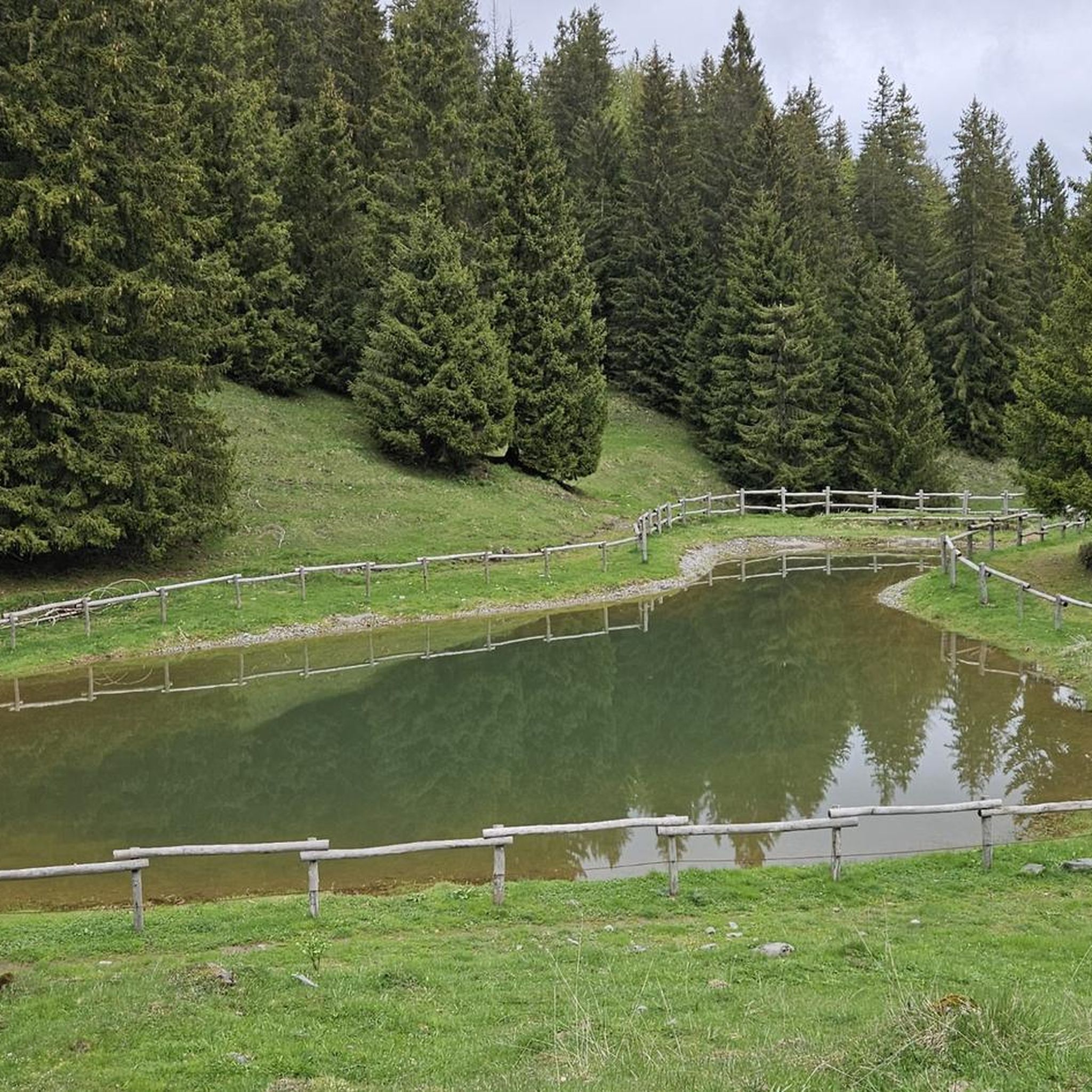
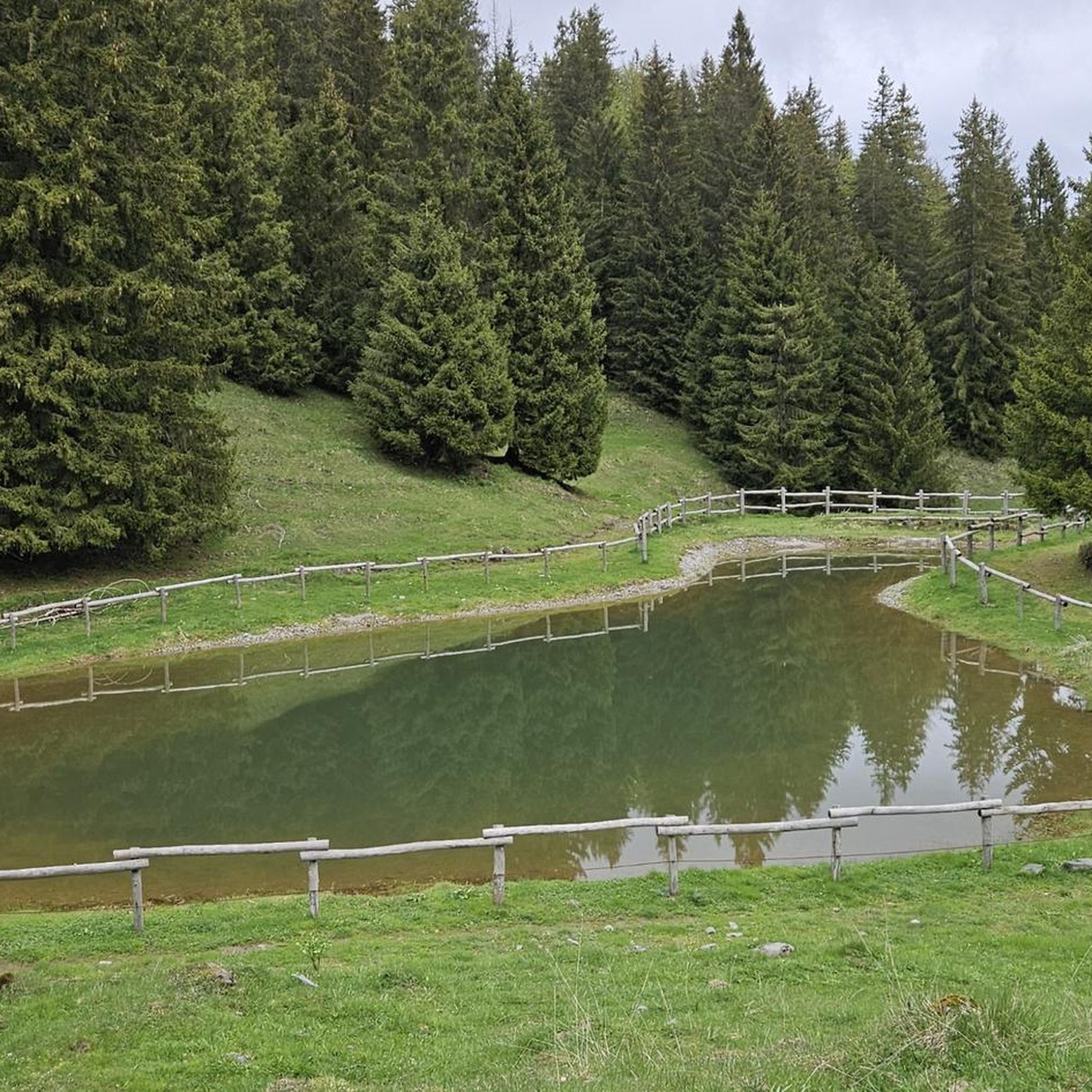
The Spiazzi dell'Acqua Picnic Area is one of the most peaceful and pleasant spots in the Gandellino area, surrounded by greenery and perfect for a relaxing break before or after a hike. Located in an easily accessible clearing, it offers tables, natural shade, and a cool atmosphere thanks to the proximity to the water. It's a simple yet meticulously maintained spot, ideal for families, groups, or anyone looking to enjoy a quiet moment in nature. Its secluded location and wooded setting make it a small haven of peace, convenient to reach yet far from the noise.
0
0
よくある質問
ロヴェッタ周辺には、いくつの登山ルートがありますか?
ロヴェッタ周辺には10以上の登山ルートがあります。この地域は険しい地形で知られており、これらのルートのうち8つが難易度高、2つが中程度に分類されています。
ロヴェッタ近郊の登山ルートでは、どのような景観が期待できますか?
ロヴェッタ近郊の登山ルートは、険しい地形、鬱蒼とした森林、開けた高山の草原など、多様な景観を traverses します。ピッツォ・デッラ・プレゾラーナのような顕著な石灰岩の峰に遭遇し、オロビエ・アルプスの壮大なパノラマとロヴェッタおよびクルゾーネの景色を楽しむことができます。
ロヴェッタのルートについて、他の登山者はどのように評価していますか?
ロヴェッタの登山ルートは、komootコミュニティから高く評価されており、20件以上のレビューで平均4.5つ星を獲得しています。140人以上の登山者がkomootを使用してロヴェッタの多様な地形を探検しており、しばしば挑戦的な登りと息をのむような景色を称賛しています。
経験豊富な登山者向けの挑戦的な登山ルートはありますか?
はい、ロヴェッタは挑戦的なルートで知られています。例えば、パッソ・デッラ・プレゾラーナからプレゾラーナ・ディ・カスティオーネとプレゾラーナ・オッチデンターレへの登りは、かなりの標高差があります。もう一つの厳しい選択肢は、ガンドゥッリーノからのスピゴレル・ピーク – ピッツォ・ディ・ペット ループで、16km以上にわたりかなりの標高差があります。
ロヴェッタ周辺には、周回型の登山ルートはありますか?
ロヴェッタ地域の多くの登山ルートはループ型に設計されており、同じ道を戻ることなく多様な景色を提供します。例として、コレーレからのモンテ・フェッランテ・サミット – コルナ・ジェメル・ループがあり、これは挑戦的な18.5kmのルートです。
ロヴェッタの登山ルートで、どのような自然の特徴やランドマークを見ることができますか?
登山ルートはしばしば素晴らしい自然の特徴へと続いています。ドラマチックなプレゾラーナ地域、コカ湖のような景色の良い湖、または様々な頂上からの広大な景色を楽しむことができます。この地域全体では、グレンノ・ダムと湖も注目すべき名所です。
ルート沿いに山小屋や避難小屋はありますか?
はい、休憩所や宿泊施設として利用できる山小屋があります。カッシネッリのカルロ・メディチ・レフュージは、プレゾラーナ地域でのルートによく関連付けられる山小屋の一つです。サン・ルチオ山小屋からは、ロヴェッタとクルゾーネの景色も楽しめます。
ロヴェッタでの登山に最適な時期はいつですか?
ロヴェッタでの登山に最適な時期は、通常、晩春から初秋(5月から10月)にかけてです。この時期は一般的に天候が安定しており、トレイルには雪がありません。特に高地では、出発前に必ず現地の気象条件とトレイルの状況を確認してください。
ロヴェッタには初心者のための簡単な登山ルートはありますか?
ロヴェッタ周辺のほとんどのルートは難易度が高いと評価されていますが、中程度に分類されるルートがいくつかあります。これらのルートは依然として良好な体力が必要ですが、最も困難な登りほど技術的には要求されません。ルートを選択する前に、ご自身の体力と経験を評価することを常にお勧めします。
ロヴェッタの登山ルートに犬を連れて行っても良いですか?
一般的に、イタリアアルプスの多くのトレイルでは犬の同伴が許可されていますが、特に保護区域や家畜の近くでは、必ずリードにつないでおくことが重要です。犬を連れて行く前に、必ず特定のトレイル規制や公園の規則を確認し、犬が険しい地形に対応できる体力があることを確認してください。
ロヴェッタには家族向けの登山ルートはありますか?
ロヴェッタのほとんどの登山ルートは、その挑戦的な性質とかなりの標高差のため、一般的に幼い子供や経験の浅いハイカー向けの家族向けとは見なされていません。しかし、激しい山歩きに慣れた、経験豊富な年長の子供を持つ家族であれば、中程度のルートの一部が適しているかもしれません。
ロヴェッタ地域には、長距離の登山ルートはありますか?
はい、より長距離で長時間の遠征に適したルートがいくつかあります。例えば、コレーレからのモンテ・フェッランテ・サミット – コルナ・ジェメル・ループは18.5km以上あり、完了までに約8時間かかり、かなりの挑戦を提供します。

komootモバイルアプリでインスピレーションを得よう


さらに探索
他の地域の最高の登山ハイキング & ルートを見てみましょう。
