アルビノのおすすめ登山&山歩きルート
4.5
(2)
38
ハイカー
1
ハイキング
アルビーノ周辺の登山ルートはセリアーナ渓谷に位置し、オロビエ・ベルガマスケ公園へのアクセスを提供しています。この地域は、印象的な山の起伏、多様な植物相、そして広範なトレイルネットワークを特徴としています。この景観は、緑豊かな緑地、川沿いの道、石灰岩のスポーツクライミングエリアによって特徴づけられ、アウトドアアクティビティに多様な地形を提供しています。
アルビーノ周辺の最高の登山ルート
- 最も人気のある登山ルートは、コルナルバからのモンテ・アルベン・サミット – リフュージョ・モンテ・アルベン・ループ(Monte Alben Summit – Rifugio Monte Alben loop from Cornalba)で、距離7.8マイル(12.5 km)、所要時間6時間9分です。この挑戦的なルートは、著名な山頂に向かってかなりの標高差があります。
- 地元の登山者の間でもう一つのお気に入りは、サン・ペッレグリーノ・テルメからのフェラータ・サン・ニコラ・ループの開始点(Start of Ferrata San Nicolò loop from San Pellegrino Terme)で、難易度が高い3.4マイル(5.4 km)のルートです。このルートは、周囲の山々で顕著な標高変化を伴う、厳しい体験を提供します。
- 地元の登山者は、ソリソーレからのカント・アルト – ピスジュー・ループ(Canto Alto – Pisgiù loop from Sorisole)も気に入っています。これは6.2マイル(10.0 km)のトレイルで、変化に富んだ山の地形を通り抜け、所要時間は約4時間30分です。
- アルビーノ周辺の登山は、景色の良いセリアーナ渓谷、広大なオロビエ・ベルガマスケ公園、そしてアクセスしやすい石灰岩のスポーツクライミングエリアによって特徴づけられます。このネットワークは、挑戦的な登りやテクニカルなセクションを求める経験豊富な登山者にオプションを提供します。
- アルビーノのルートは、komootコミュニティから高く評価されており、5件以上のレビューから平均4.8つ星を獲得しています。60人以上の登山者がkomootを利用して、アルビーノの多様な地形を探検しました。
最終更新日: 8月 28, 2026
4.5
(2)
29
ハイカー
5.42km
02:25
290m
290m
難しい登山ルート. ある程度のフィットネスレベルが必要です。 安定して歩行できる技術、丈夫な靴、高標高地での登山経験が必要です。
5
ハイカー
17.4km
06:09
830m
830m
難しい登山ルート. 標準以上のフィットネスレベルが必要です。 安定して歩行できる技術、丈夫な靴、高標高地での登山経験が必要です。

無料新規登録
4
ハイカー
7.51km
03:03
480m
480m
難しい登山ルート. ある程度のフィットネスレベルが必要です。 安定して歩行できる技術、丈夫な靴、高標高地での登山経験が必要です。
おすすめのツアーは他のkomootユーザーが実際に経験した何千ものアクティビティに基づいています。
無料アカウントで今日から始めよう
次の冒険が待っています。
ログインまたは登録
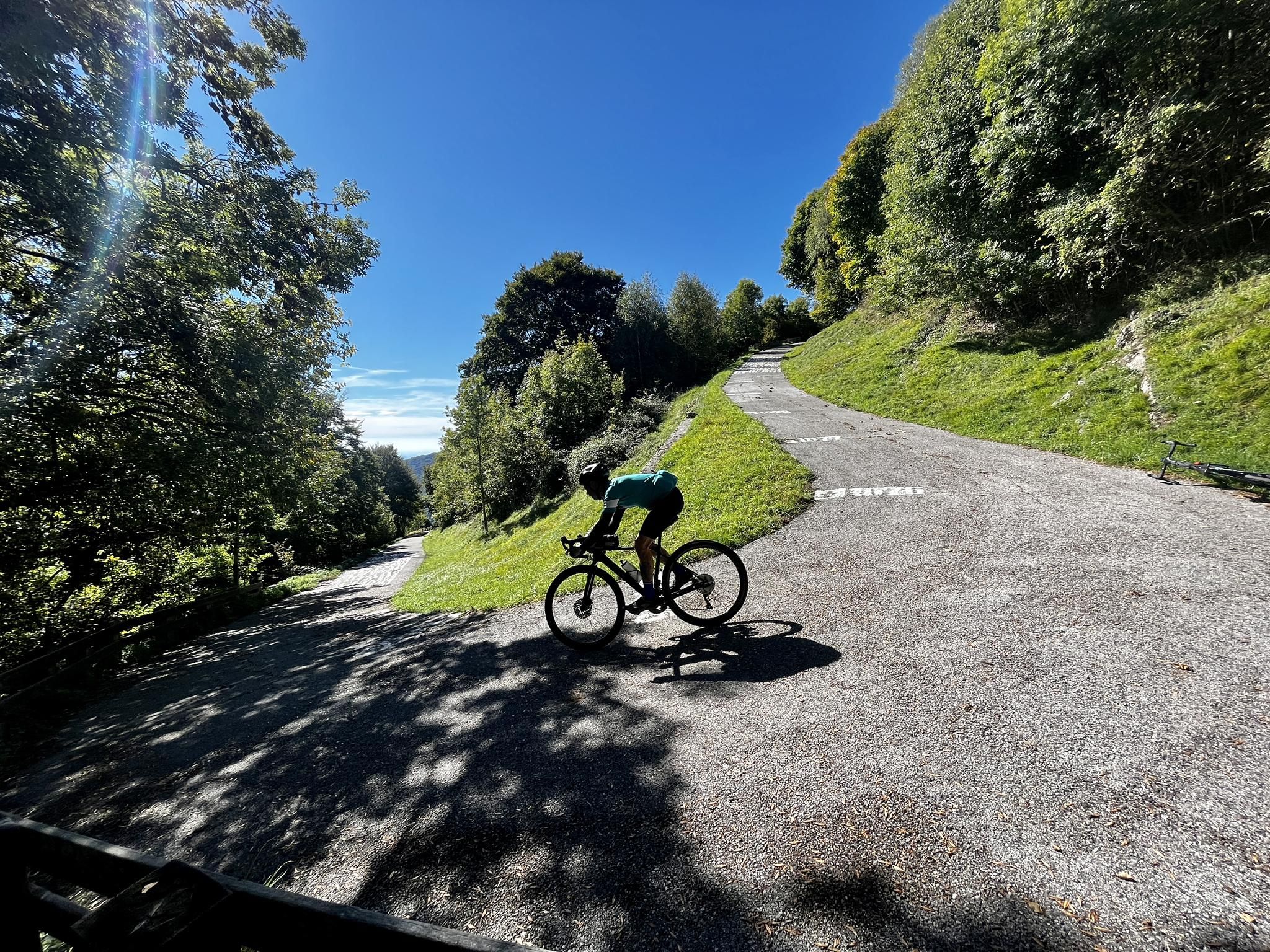
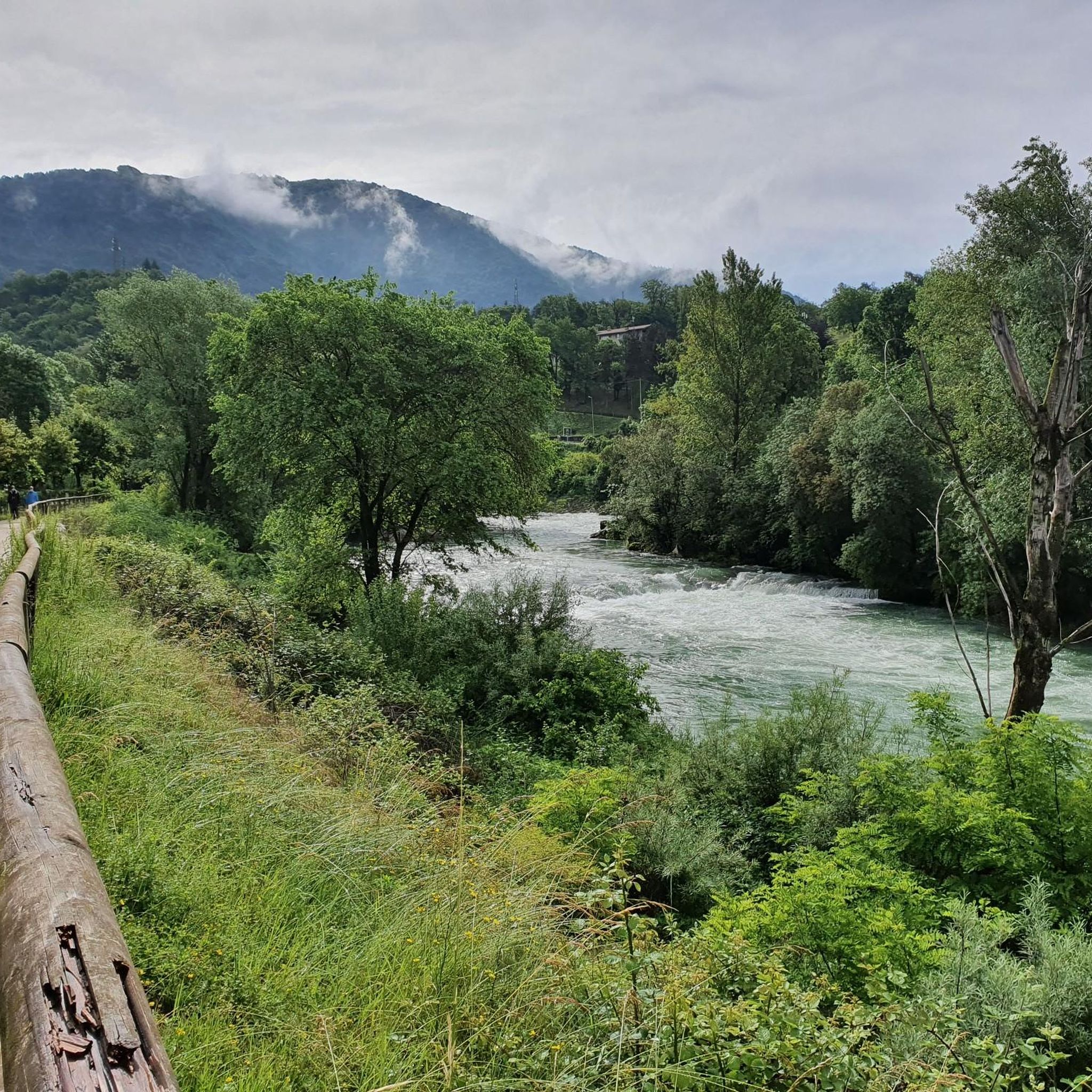
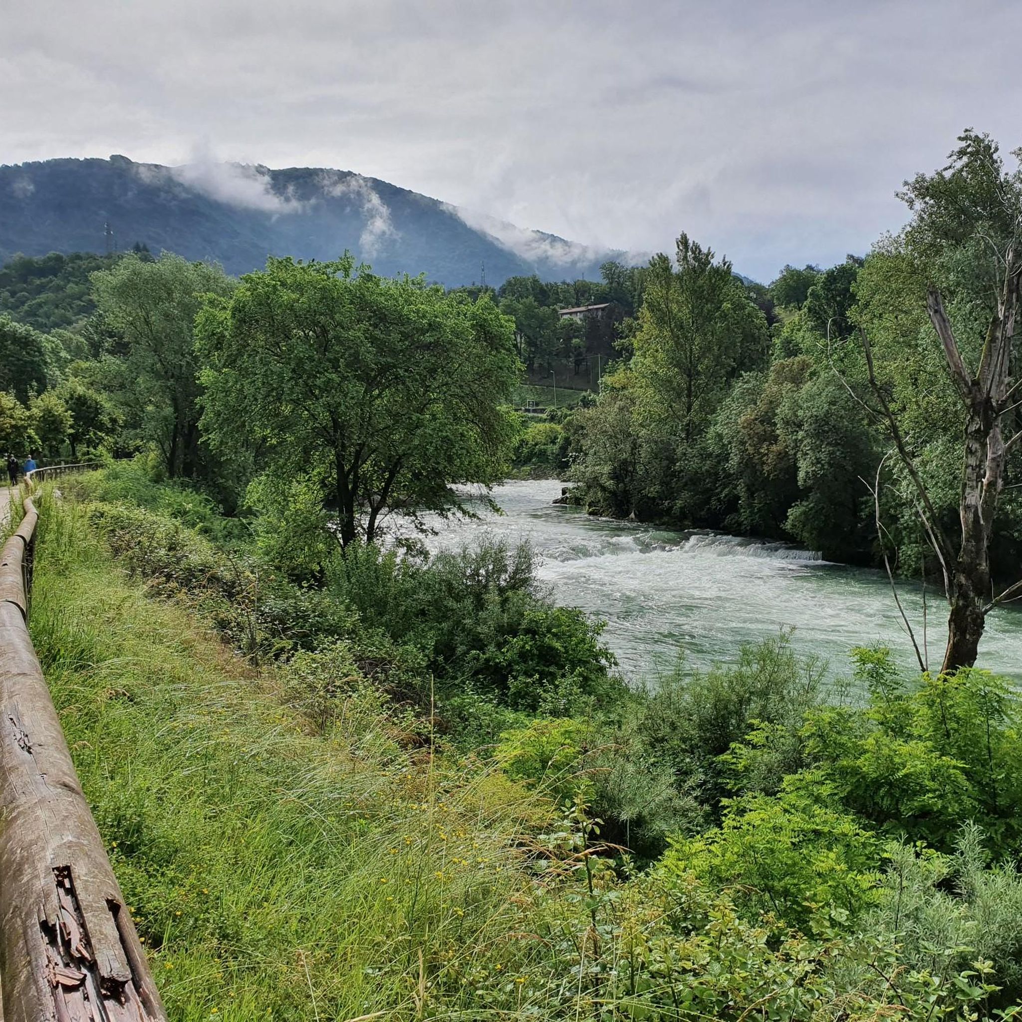
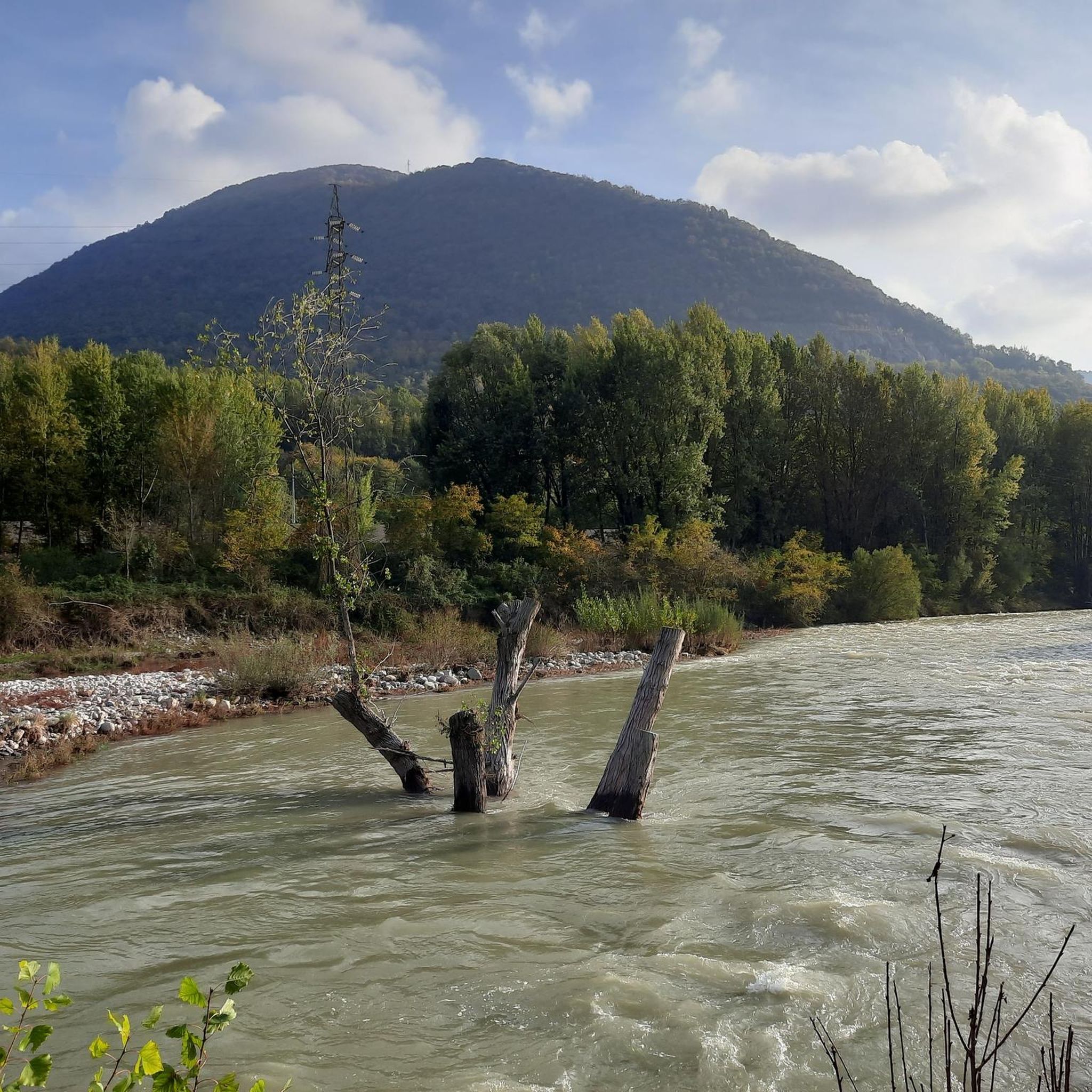

コミュニティからのヒント


From the ice cream shop/restaurant, you can access one of the most fun (and technical) trails in the area, the Agostini. It takes its name from the Bergamo motorcyclist champion, as at the end of the trail, on the right, you can see the racer's villa.
0
0
Salmezza path increasingly eroded and ruined
1
0

Cà del Lacc is a hiking landmark located near Ponteranica, in the province of Bergamo. The name comes from the Bergamo dialect and means "House of Milk", probably linked to an ancient dairy production activity. It is a crossroads of paths that connect several locations, including Colle di Ranica, Canto Alto, Olera and Lonno. The route is immersed in the woods and offers beautiful views of the valley. It is a popular destination for hikers and nature lovers, with well-marked trails suitable for different levels of experience
0
0
Croce dei Morti is a landmark along trail 606, located in the Parco dei Colli di Bergamo. This trail connects several locations, including Torre Boldone and Colle di Ranica, offering splendid views of the Val Seriana and the Bergamo plain. The name "Croce dei Morti" may derive from historical events related to the area, but today it is mainly a point of passage for hikers and nature lovers. The trail is easy and accessible, with a length of about 2.9 km and a difference in altitude of 42 meters. If you want to explore the area, you can start from the trattoria in the Croce dei Morti area and follow the trail towards Colle di Ranica, passing by Croce del Boscone. It is a perfect excursion for a relaxing walk surrounded by greenery! 😊
0
0

via ferrata not too difficult but not too obvious either, certainly have the equipment before tackling it.
0
0

Perhaps in front of this small sacred monument, which the hiker encounters here in the form of a cross, a few short sentences from Pope Francis are of interest (address of April 5, 2024): "Feel called (...) to bring into the Church and into the world a little of that immense love that compelled Jesus to die on the cross for us. May the familiar closeness to Him make you, as it was with Francis [of Assisi], ever more humble, united, joyful and essential, in love for the cross and in attention to the poor, witnesses of peace and prophets of hope in this time of ours, which has so much difficulty in recognizing the presence of the Lord." (Pope Francis)
0
0
よくある質問
アルビーノ周辺にはどのくらいの登山ルートがありますか?
アルビーノ周辺には、難易度が高いとされる挑戦的な登山ルートがいくつかあります。これらのルートは、大幅な標高差と変化に富んだ地形を提供し、登山者にとってやりがいのある体験となります。
アルビーノの近くに周回できる登山ルートはありますか?
はい、アルビーノ周辺の登山ルートの多くは周回型です。例えば、コルナルバからのモンテ・アルベン・サミット – リフュージョ・モンテ・アルベン周回ルートは12.5kmの挑戦的なルートで、ソリソーレからのカント・アルト – ピスジュー周回ルートは変化に富んだ山岳地帯を10.0kmにわたって進みます。
アルビーノ地域の登山ルートの典型的な距離と標高差はどのくらいですか?
アルビーノ周辺の登山ルートは、距離と標高差が様々です。例えば、サン・ペッレグリーノ・テルメからのフェラータ・サン・ニコロ周回ルート開始地点のような約5.4kmのルートで標高差285メートルから、トッレ・ボルドーネからのカンパヌア – カント・アルト周回ルートのような17.3kmで835メートルの登りがあるルートまであります。コルナルバからのモンテ・アルベン・サミット – リフュージョ・モンテ・アルベン周回ルートでは、例えば1000メートル以上の標高差があります。
アルビーノ周辺の登山ルート沿いでは、どのような自然の特徴が見られますか?
アルビーノ周辺のルートは、風光明媚なセリアーナ渓谷とオロビエ・ベルガマスケ公園内にあり、緑豊かな植生と印象的な山の起伏を楽しめます。多様な植物相、川沿いの道、石灰岩のスポーツクライミングエリアなどがあります。特にカント・アルト・サミットやモンテ・ミスマ・サミットのような山頂からは、パノラマビューが楽しめます。
登山ルート沿いには、特に眺めの良い場所はありますか?
はい、この地域はパノラマビューの良さで知られています。カント・アルト・サミットやモンテ・ミスマ・サミットのような山頂からは、ベルガモやセリアーナ渓谷を含む周囲の景観の広大な眺めが楽しめます。コルナルバからのモンテ・アルベン・サミット – リフュージョ・モンテ・アルベン周回ルートも、眺望で知られる著名なモンテ・アルベン・サミットへと続いています。
アルビーノ周辺のルートについて、他の登山者はどのように評価していますか?
アルビーノ周辺の登山ルートは、komootコミュニティから高く評価されており、5件以上のレビューで平均4.8つ星を獲得しています。登山者は、挑戦的な登り、変化に富んだ地形、そしてセリアーナ渓谷とオロビエ・ベルガマスケ公園の美しい景観をしばしば称賛しています。
アルビーノでの登山に最適な季節はいつですか?
春と夏は、アルビーノ周辺の自然の魅力や登山トレイルを探索するのに最も適した季節です。気象条件が一般的に安定しており、山岳地帯での体験がより楽しく、安全になります。
登山トレイルの近くに歴史的なランドマークやアトラクションはありますか?
自然の美しさだけでなく、より広い地域には歴史的なランドマークも見られます。例えば、近くにはテルツィ城やカステッロ・カモッツィ・ヴェルトヴァのような城がいくつかあります。また、この地域にはクロチェ・デイ・モルティ礼拝堂のような宗教的建造物も存在します。
上級登山者にとって特に挑戦的なルートはありますか?
アルビーノ周辺の記載されている登山ルートはすべて難易度が高いと評価されており、経験豊富な登山者向けです。コルナルバからのモンテ・アルベン・サミット – リフュージョ・モンテ・アルベン周回ルートは、12.5kmで1077メートルの標高差があり、かなりの挑戦となります。同様に、サン・ペッレグリーノ・テルメからのフェラータ・サン・ニコロ周回ルート開始地点も、顕著な標高変化を伴う厳しい体験を提供します。
アルビーノ周辺の登山ルートでは、どのような種類の地形が予想されますか?
アルビーノ周辺の地形は多様で、印象的な山の起伏、緑豊かな植生、そして広範なトレイルネットワークが特徴です。風光明媚なセリアーナ渓谷内で、岩の多い道、森のトレイル、石灰岩のスポーツクライミングエリアの近くの区間など、様々な路面に出会うでしょう。

komootモバイルアプリでインスピレーションを得よう


さらに探索
他の地域の最高の登山ハイキング & ルートを見てみましょう。
