ロヴェッタのおすすめMTBライド
4.4
(1484)
7,421
ライダー
22
ライド
ロヴェッタ周辺には魅力的なマウンテンバイクルートがいくつもありますが、冒険を始めるにはその場所とルートを把握する必要があります。ここでは、komootが提供するロヴェッタ周辺でのマウンテンバイクルートのコレクション全体を評価して選び抜いた、人気ルートをご紹介します。各ライドの詳細をぜひご覧ください。
最終更新日: 8月 29, 2026
4.7
(26)
190
ライダー
39.8km
02:28
470m
470m
中程度のマウンテンバイクライド. ある程度のフィットネスレベルが必要です。 あらゆるスキルレベルに適しています。
4.6
(28)
151
ライダー
47.7km
04:12
1,300m
1,300m
難しいマウンテンバイクライド. 標準以上のフィットネスレベルが必要です。 高度なライディングスキルが必要です。ツアーの一部で自転車を押して歩く必要があるかもしれません。

無料新規登録
4.7
(18)
86
ライダー
48.8km
05:32
2,110m
2,110m
難しいマウンテンバイクライド. 標準以上のフィットネスレベルが必要です。 高度なライディングスキルが必要です。
4.4
(61)
393
ライダー
50.1km
04:37
1,370m
1,370m
難しいマウンテンバイクライド. 標準以上のフィットネスレベルが必要です。 高度なライディングスキルが必要です。ツアーの一部で自転車を押して歩く必要があるかもしれません。
4.8
(5)
50
ライダー
68.8km
06:03
2,190m
2,190m
難しいマウンテンバイクライド. 標準以上のフィットネスレベルが必要です。 高度なライディングスキルが必要です。ツアーの一部で自転車を押して歩く必要があるかもしれません。
さらに多くのルートや他のユーザーのおすすめ情報を確認できます。
無料新規登録
すでにアカウントをお持ちですか?
おすすめのツアーは他のkomootユーザーが実際に経験した何千ものアクティビティに基づいています。
無料アカウントで今日から始めよう
次の冒険が待っています。
ログインまたは登録

コミュニティからのヒント

自動販売機で飲み物や軽食を買うことができます。ちょっとした休憩に最適です。ヒント:必ず小銭を持参してください。
0
0

Pozza Crusは、標高約1,280〜1,300mにある牧草地で景色の良いエリアで、特にBarzizza → Monte Farno → Campo d’Avene → Monte di Sovereを結ぶCAI 545などの様々なハイキングトレイルからアクセスできます。 Val GandinoとVal Serianaのハイカーにとって非常に有名な通過地点です。
0
0

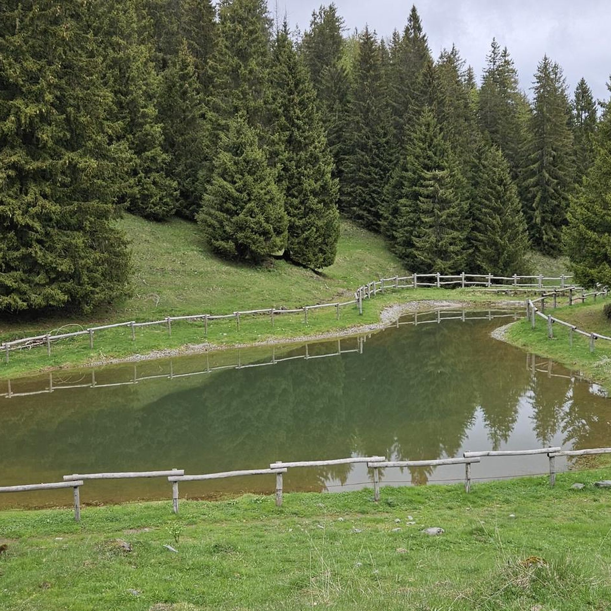
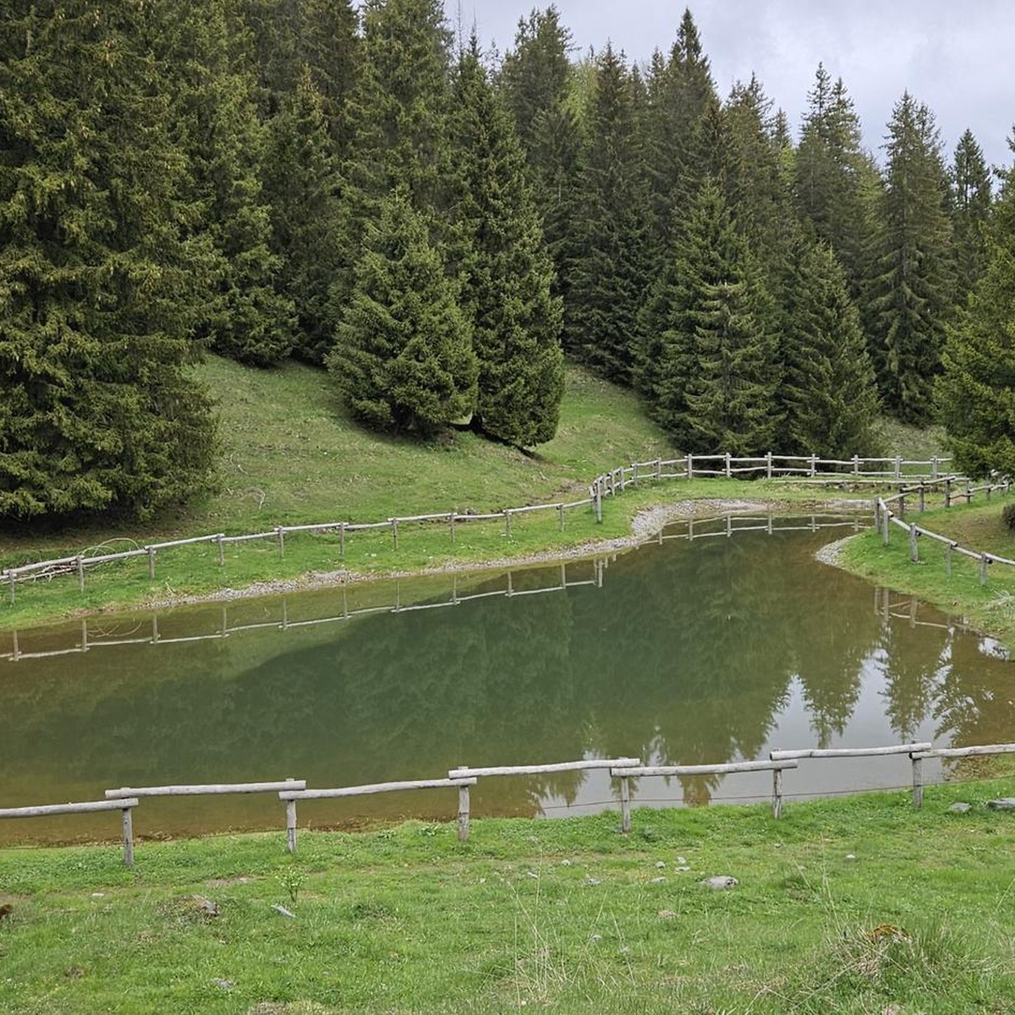
Sparaveraの頂上まで行く必要はありません。この場所からでも湖の眺めは素晴らしいです。点在する花咲く草原と木々の濃い葉は、立ち止まって、もしかしたら軽食をとったり、昼寝をしたりするよう誘います!常に礼儀正しく、ゴミは持ち帰ってくださいね!
0
0

Fourth stanza of a poetic composition dating back to the first half of the 17th century, dedicated to Saint Albert of Villa d'Ogna: "A hundred years or so after that glorious Death of the blessed Albert the Abbot Another arose, equally famous If not for status, at least for pleasing deeds. He was humble, devout and generous, In his holy and honored actions That he deserved to be called by Christ In his Kingdom of heaven holy and blessed."
6
0
Picnic area about halfway through the Val di Scalve Forest, which goes from the Passo della Presolana to Colle Vareno. From this location, several hiking trails wind through the Val di Scalve Forest, also heading to Angolo, and the Carbonai trail that goes up to Scanapà.
6
0
Baita Cornei is a hiking reference point located in the Conca del Farno, in the Val Gandino, province of Bergamo. It is a structure used by hikers as a rest point along the paths that lead to Pizzo Formico and Rifugio Parafulmine. Characteristics of Baita Cornei: Location: Gandino, Bergamo, Lombardy. Altitude: About 1200 meters. Trails: Connections with Pizzo Formico, Monte Farno and Piana della Montagnina. Services: Vending machine for drinks and toilets available. Access: Reachable with an excursion from Cirano di Gandino or from Conca del Farno
0
0

Beautiful as a path even if I don't understand what sense there is in putting pieces of Dante's Inferno...
0
0

komootモバイルアプリでインスピレーションを得よう


さらに探索
他の地域の最高のMTBトレイルを見てみましょう。
