ルート

プランナー

機能

アップデート

App

ログインまたはサインアップ

アプリを入手

ログインまたはサインアップ

ルート
登山・山歩き
ロンバルディア
ベルガモ

ヴィルミノーレディスカルブ

ヴィルミノーレディスカルブのおすすめ登山&山歩きルート

4.4

(11)

59

ハイカー

10

ハイキング

ベルガモの山々をもっと探索しませんか?このガイドでご紹介するのは、komootがヴィルミノーレディスカルブでの登山&山歩きのコレクション全体を評価して選び抜いた、このエリアの人気ルートです。あなたに合ったルートを見つけるには、他のユーザーがアップロードした役立つ情報や写真を閲覧し、クリック操作で簡単に表示できる詳細なデータを参考にしましょう。ヴィルミノーレディスカルブでの次の冒険にぴったりの登山&山歩きルートが見つかるはずです。

最終更新日: 7月 18, 2026

4.0

(1)

10

ハイカー

#1.

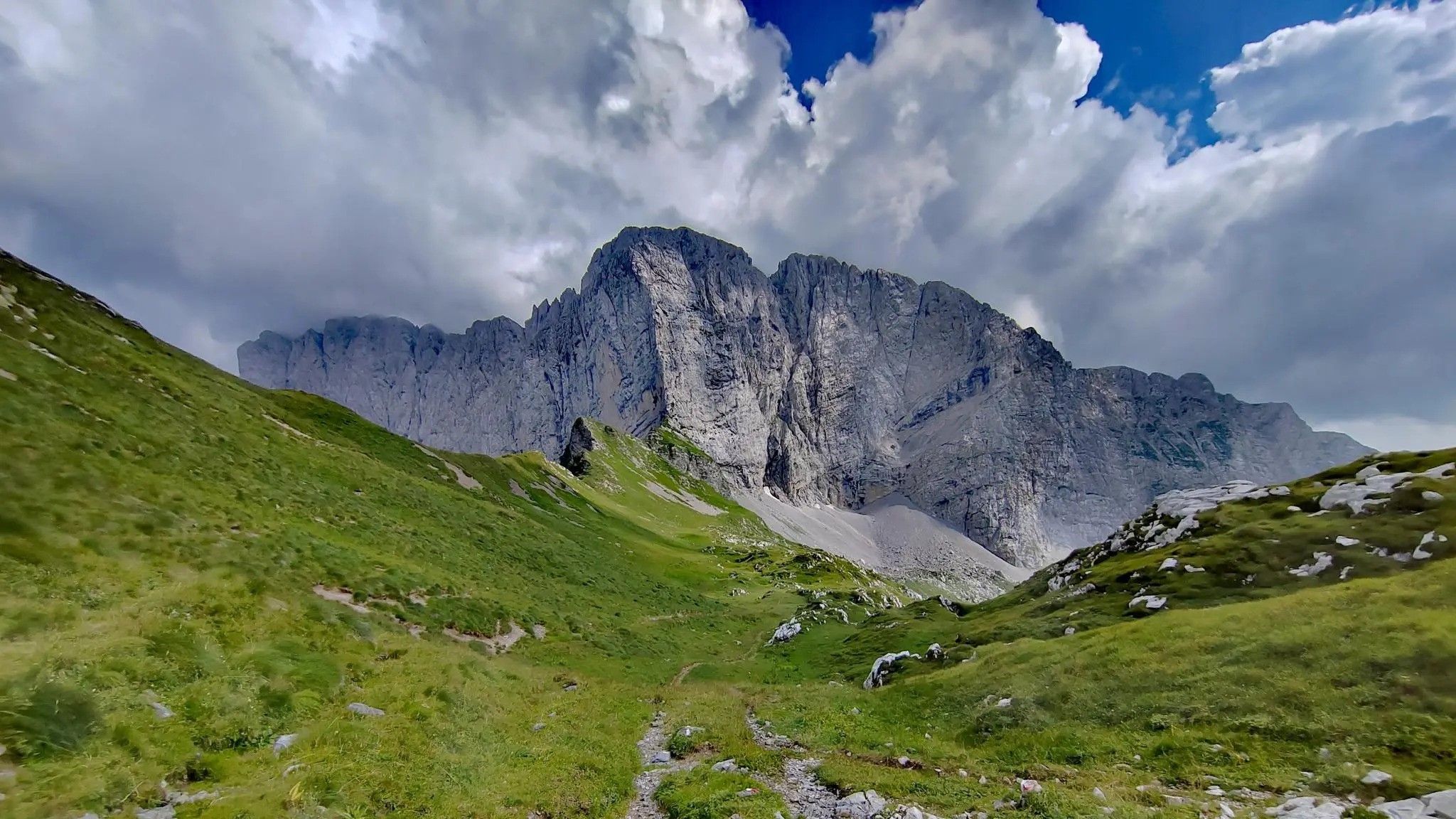
Schilparioから出発する コンカ・デイ・カンペッリ – カンペッリ湖 ループコース

9.07km

03:05

460m

460m

中程度の登山ルート. ある程度のフィットネスレベルが必要です。 全般的に進みやすいルートです。安定して歩行できる技術が必要です。

デバイスでナビ

スマートフォンに送信

保存

中程度

難しい登山ルート. 標準以上のフィットネスレベルが必要です。 安定して歩行できる技術、丈夫な靴、高標高地での登山経験が必要です。

難しい
guide_signup
私たちがkomootモバイルアプリで道を示します
無料の komoot アカウントがあれば、無限のアウトドアコースを簡単に見つけてカスタマイズし、ナビで案内できます。

無料新規登録

難しい登山ルート. 標準以上のフィットネスレベルが必要です。 安定して歩行できる技術、丈夫な靴、高標高地での登山経験が必要です。

難しい

難しい登山ルート. 標準以上のフィットネスレベルが必要です。 安定して歩行できる技術、丈夫な靴、高標高地での登山経験が必要です。

難しい

難しい登山ルート. 標準以上のフィットネスレベルが必要です。 安定して歩行できる技術、丈夫な靴、高標高地での登山経験が必要です。

難しい
無料新規登録すると、ヴィルミノーレディスカルブでのでのハイキングをさらに6件ご覧いただけます。

さらに多くのルートや他のユーザーのおすすめ情報を確認できます。

無料新規登録

すでにアカウントをお持ちですか?

おすすめのツアーは他のkomootユーザーが実際に経験した何千ものアクティビティに基づいています。

無料アカウントで今日から始めよう

次の冒険が待っています。

ログインまたは登録

ヴィルミノーレディスカルブ周辺で人気

北イタリアの鉄の森の路 – Via Decia

バル・ディ・スカルベ – ピッコロ・ドロミティ・ベルガマスケの中でのトレッキング

ヴィルミノーレディスカルブでのハイキング

ヴィルミノーレディスカルブのロードバイクルート

ヴィルミノーレディスカルブでのサイクリング

ヴィルミノーレディスカルブのMTBトレイル

ヴィルミノーレディスカルブのランニングコース

ヴィルミノーレディスカルブでののグラベルライド

ヴィルミノーレディスカルブでのの他の冒険

北イタリアの鉄の森の路 – Via Decia

ハイキングのコレクション によって

Davide Inverardi

コミュニティからのヒント

Lorenzo
7月 2, 2026, Rifugio Albani

ステージ5 - Rifugio Albani

Google翻訳による翻訳

0

0

The Chapel of San Carlo, located as you ascend from the Tezzi Alti of Gandellino toward the Sedornia Valley, is a small Alpine place of devotion dedicated to Saint Charles Borromeo, a saint widely venerated throughout Lombardy. Its origins are linked to popular tradition and the widespread presence of the Borromean cult in the Bergamo valleys, especially between the 17th and 18th centuries, when many rural communities erected chapels and votive stones to ask for protection from disease, famine, and natural disasters. The chapel is located along an ancient path connecting the Tezzi hamlets and the Sedornia pastures: a necessary passageway for shepherds, farmers, and travelers. For this reason, the local community chose to erect a small, simple, stone sacred building here as a sign of protection for those tackling the climb to the mountain pastures. Its location, slightly raised from the trail and overlooking the Sedornia stream, recalls the typical function of Alpine votive chapels: to bless the path and protect the valley. Over time, the chapel has become a symbol of identity for the residents of Gandellino and Tezzi. It is still carefully maintained today and is part of local cultural itineraries, as evidenced by tourist itineraries that include it among the area's historical points of interest.

Google翻訳による翻訳

0

0

The Spiazzi dell'Acqua Picnic Area is one of the most peaceful and pleasant spots in the Gandellino area, surrounded by greenery and perfect for a relaxing break before or after a hike. Located in an easily accessible clearing, it offers tables, natural shade, and a cool atmosphere thanks to the proximity to the water. It's a simple yet meticulously maintained spot, ideal for families, groups, or anyone looking to enjoy a quiet moment in nature. Its secluded location and wooded setting make it a small haven of peace, convenient to reach yet far from the noise.

Google翻訳による翻訳

0

0

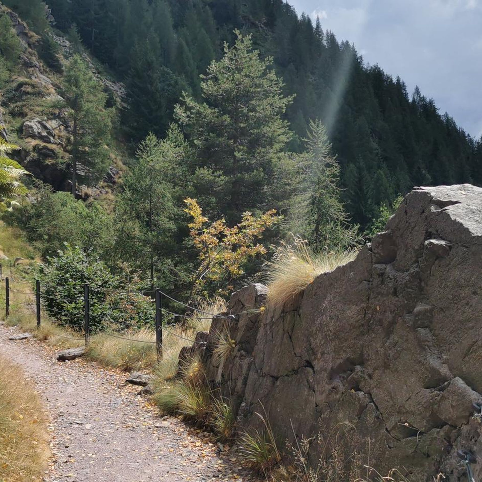
The erratic boulder, a reddish-purple Verrucano parallelepiped, has a volume of approximately 20 m3 and protrudes approximately 130 cm from the ground. The east and west walls have detached from the boulder due to weathering, rotating slightly outward and reveal the outline of steps carved to facilitate access to the boulder. The upper part, slightly concave and sloping toward the valley, features several incisions, cup marks, and channels, roughly crafted but arranged with a certain symmetry: they are distributed mainly along three parallel lines. The north-facing face also displays a series of cup-marked incisions arranged in an oblique line. The shape and distribution of these incisions are such that they cannot be considered natural in origin. This altar boulder was presumably a sacred place of the ancient priests, the Celtic Druids. Perhaps a place of sacrifice. According to studies conducted here and elsewhere in the Alps, it is believed that the altar stone was used for sacred rites between the third and first millennium BC. In reality, the sacredness of this place extends beyond prehistory. The name "Sedornia" is a transformation of the Roman name "Sáturnia," thus another religious element, the god Saturn, god of nature, prosperity, and abundance.

Google翻訳による翻訳

0

0

Lake Spigorel is a small alpine lake in the Sedornia Valley, accessible from Tezzi Alti (Gandellino) via CAI trail 309. It is a popular destination for its wild location between Monte Barbarossa and Vigna Vaga. 🚶‍♂️ Route from Tezzi Alti Key details Start: Tezzi Alti (969 m) Arrival: Lake Spigorel (approximately 1,800 m) Difficulty: Hiking (E) Duration: Outward journey: ~3 hours Return journey: ~2 hours Elevation gain: ~830 m General route outline Take the forest road of the Sedornia Valley. Pass by the Chapel of San Carlo (1,163 m). Continue through woods and pastures to the Vigna Vaga huts. The final stretch climbs steeply toward the lake basin. ⭐ Why go there Wild and untouched environment. Excellent viewpoint over the Sedornia Valley. Option to continue toward Sponda Vaga or Rifugio Mirtillo for longer itineraries.

Google翻訳による翻訳

0

0

The trail is suitable for everyone and takes about an hour to reach the refuge. You can either hike along a cobblestone road or through the woods (not recommended if it's snowing in winter because it freezes, and in summer, some sections are very muddy). Be sure to pay extra attention.

Google翻訳による翻訳

0

0

The Cimon della Bagozza Refuge is located at 1,600 meters above sea level in the beautiful Conca dei Campelli, in the municipality of Schilpario (BG), in the Scalve Valley. It is an ideal destination for hikers, families, and snowshoers, nestled in the so-called "Little Bergamo Dolomites." 🏡 Main Information Management: Cimon della Bagozza Alpine Group – Manager Silvio Visini Phone: 0346 56300 Email: rifugiobagozza@hotmail.it Altitude: 1,600 m Beds: approximately 50 (35 indoors) Cuisine: Traditional Bergamo cuisine – the "Polenta e quel che c'è" menu is famous Open all year round Pets allowed 🥾 How to get there From Fondi di Schilpario: approximately 1 hour on foot, elevation gain +350 m By car: In summer, you can get very close to the refuge by parking in Cimalbosco Trails: CAI 419 and 428, also ideal for families and beginners ❄️ In winter The refuge is open even in the snow and is a perfect destination For: Snowshoeing Hiking with crampons Family weekend in the snow Always check the avalanche bulletin (ARPA Lombardia) before leaving 🌄 What to see nearby Lake Campelli Madonnina dei Campelli Mount Campioncino Don Giulio Corini Bivouac Cimon della Bagozza (2,407 m) – for experienced hikers

Google翻訳による翻訳

0

0

The Madonnina dei Campelli is a small votive statue nestled in the beautiful Conca dei Campelli, in the Schilpario area (Bergamo). It's a popular spot among hikers, not only for its spiritual significance but also for its scenic and evocative location. The Madonnina dei Campelli is a bronze sculpture in the round, created by 🙏 Characteristics and meaning Type: votive statue dedicated to the Madonna Location: along CAI trail 428, near Malga Campelli Bassa, at approximately 1,680 m above sea level Context: located in a clearing between woods and pastures, overlooking Cimon della Bagozza and Pizzo Camino Function: a resting and reflection point for hikers, often associated with moments of meditation or prayer 🥾 How to get there Starting point: from Fondi di Schilpario Route: follow the forest road to the small church of Maria Ausiliatrice and Santa Barbara, then continue on trail 428 Duration: approximately 1.5 hours on foot Difficulty: hiking (E), also suitable for families

Google翻訳による翻訳

0

0

ヴィルミノーレディスカルブでのの人気ルート

ヴィルミノーレディスカルブでのハイキング

ヴィルミノーレディスカルブでのの人気観光スポット

Places to see

Store rating

komootモバイルアプリでインスピレーションを得よう

無料のkomootアカウントがあれば、無限のアウトドアコースを簡単に見つけてカスタマイズし、ナビで案内できます。

または

今すぐkomootに参加しよう

Store rating

さらに探索

他の地域の最高の登山ハイキング & ルートを見てみましょう。

dell'AddaNord自然公園ロータ・ディマーニャブルマノサントモボーノテルメヴェデゼータタレッジョコスタヴァッレイマーニャコルナ・イマーニャロカテッロリーヴァ・ディ・ソルトパルツァーニカタヴェルノラ・ベルガマスカイゼーオ湖グロモオルトレッセンダアルタフイピアーノヴァッレイマーニャヴィーゴロコスタ・ヴォルピーノヴァルゴーリオアルデージオヴィラドグナオルトレ・イル・コレパッレフォンテーノレナサンジョヴァンニビアンコドッセーナコルツァーテヴェルトヴァコルナルバスキルパーリオコレレロヴェッタゴルノイーゾラ・ディ・フォンドラポンテノッサロベレソルト・コッリーナカストロヴァルボンディオーネヴァルブレンビッラブレッロラーギ・ジェメッリオネタセリーナボッシコロンコベッロブランツィプレーモロガンデッリーノアッツォーネヴァルトルタソブレプレドーレPiàガザニーガコスタセリーナカロナネロ湖アルグアカスティオーネデラプレソラナエンディネガイアーノコッリディベルガモソリーゾレセドリーナパルコナチュラルデイコッリディベルガモピアーニコゾーニョベルベンノカピッツォーネローニョオルニーカカッシーリオRiserva Naturale Boschi Del Giovetto Di Palineウビアーレ・クラネッツォガイアーノ湖サンペッレグリーノテルメクルゾネフィーノデルモンテセレテソンガヴァッツォストロッツァアルメンノサンバルトロメオアドラーラサンロッコアドラーラサンマルティーノヴィアダーニカアルツァーノロンバルドパラディーナポンテラーニカヴィラダルメアルメピアノカセレ湖Moio De'Calviヴァルネグラカズニーゴポンティーダカプリーノ・ベルガマスコパラッツァーゴロンコラベドゥリータオノレチザーノベルガマスコポンテサンピエトロモッツォクルノブレンバーテディソプラプレゼッツォボナーテソプラアルメンノサンサルヴァトーレバルザーナヴァルブレンボセルヴィーノアルビノネンブロアンビーヴェレマペッロバルベッリーノ湖ラーニカトッレ・ボルドーネ

近くのアドベンチャーガイド

コレレでやるべきこと

background

新しいピークを征服する準備をしよう

無料でサインアップ

探検する
ルートルートプランナー機能ハイキングMTBトレイルロードバイクルートバイクパッキングサイトマップ
アプリをダウンロード
SNSでフォローする

© komoot GmbH

プライバシーポリシー