アルビノの湖・トップ18
次の冒険でアルビノの素晴らしい湖を訪れてみませんか?湖畔の穏やかな雰囲気や、天気が良い日のひと泳ぎは格別です。komootコミュニティがおすすめするアルビノの素晴らしい湖の一覧を参考にして、次の冒険では湖をもっと満喫しましょう。
最終更新日: 10月 4, 2026
エンディネ湖
ハイライト • 湖
翻訳者 Google •
役立つ情報 は

Monte Sparavera
ハイライト • 山頂
翻訳者 Google •
役立つ情報 は

今すぐサインアップして、こんな場所を発見しよう
最高のシングルトラック、ピーク、その他のエキサイティングなアウトドアスポットのおすすめを受け取ろう。
ポッツァ・デイ・セッテ・テルミニ
ハイライト • 湖
ecodibergamo.it/stories/eppen/outdoor/lungo-lantica-via-della-lana-fino-alla-cima-del-monte-sparavera_1422748_11
翻訳者 Google •
役立つ情報 は

モナステローロ・デル・カステッロのエンディネ湖
ハイライト • 湖
翻訳者 Google •
役立つ情報 は


無料アカウントで今日から始めよう
次の冒険が待っています。


コミュニティからのヒント

Biali Park, in the municipality of Monasterolo del Castello, is one of the most popular tourist destinations on Lake Endine. This public park is ideal for families because, in addition to convenient nearby parking (for a fee), it offers a beautiful lawn for relaxing, a picnic area with wooden tables, and a BBQ. There is also a café and public restrooms. In summer, you can rent pedal boats at the café or swim along the shore. The park is quite large and, even on weekends, offers space for everyone.
2
0
A walk here is synonymous with 360-degree well-being, offering a variety of opportunities for relaxation and physical activity. This enchanting body of water nestled among the hills of Val Cavallina, immersed in pristine nature, offers, among other things, an 18-kilometer walking trail. During a complete tour of the lake, which is entirely flat and therefore easily accessible to anyone, you can enjoy its wonders, including villages, museums, and castles.
0
0

from here you enter the pasture on the obvious ramp to climb to the top of the sparavera
0
0

The Pozza dei Sette Termini is a hiking point of interest located at 1309 meters above sea level in Val Gandino, in the province of Bergamo. It can be reached via the CAI 544B trail, which starts from the Church of Santa Maria degli Angeli in Valpiana. Characteristics of the Pozza dei Sette Termini: Altitude: 1309 m Route: CAI 544B trail Difficulty: Hiking (E) Travel time: About 50 minutes there and 35 minutes back History: Near the pool there is a monument in memory of General Raffaele Cadorna, who made a parachute landing in this area in 1944 Panorama: View of Mount Barzena and the possibility of continuing towards Mount Sparavera The pool is surrounded by a fence and is located along a path that connects Malga Lunga and Monticelli. It is an ideal place for a break during an excursion in the area.
1
0
Monte Sparavera is a peak in the Bergamo Prealps, located at 1369 meters above sea level. It offers a spectacular view of Lake Endine and Val Cavallina. Recommended route Start: Gandino or Peia Trail: CAI 547 Difference in altitude: About 800 meters Duration: 4 hours (round trip) Difficulty: Hiking (E) The route passes through woods, panoramic meadows and a forest road that leads to the summit. From the summit you can admire Monte Guglielmo, Pizzo Arera, Monte Alben and Lake Iseo
1
0

Beautiful walk of about 14.5 km if you go all the way around the lake. I always start from Spinone al lago where it is easy to park freely. Today I did the tour counterclockwise. Unfortunately for about 2 km you walk on the road... Very cold areas in the shade with ice on the ground, and the lake also partially frozen. Various benches and picnic tables in the sun. Lots of dogs on leashes 🐶
1
0

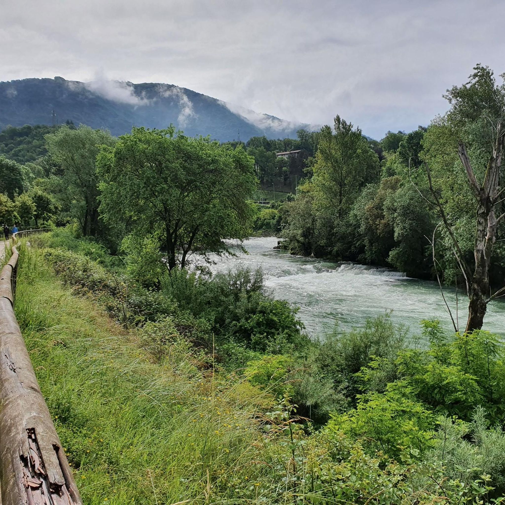
Simple walk with great views. During the journey, two lakes come into view. I would happily stay here again.
3
0

nice quiet walk around the lake. the only flaw is the two and a half km you have to stay on the road
2
0

komootモバイルアプリでインスピレーションを得よう


さらに探索
まだ完璧な湖が見つかりませんかアルビノでの?これらの地域のガイドをチェックして、さらに美しい場所を見てみましょう。
