プロンスフェルトのおすすめウォーキング&ハイキングルート
4.1
(185)
684
ハイカー
41
ハイキング
プロンスフェルト周辺でのハイキングは、景色を満喫するのに最適な手段のひとつですが、適切なハイキングルートを見つけることは簡単ではありません。 プロンスフェルト周辺の人気ハイキング&ウォーキングコースを参考にすれば、行きたいルートをすぐに見つけられます。
最終更新日: 10月 14, 2026
4.4
(14)
49
ハイカー
3.93km
01:03
40m
40m
初級者向けハイキング. あらゆるフィットネスレベルに適しています。 進みやすいルートです。あらゆるスキルレベルに適しています。
4.6
(7)
37
ハイカー
9.24km
02:31
140m
140m
中程度のハイキング. ある程度のフィットネスレベルが必要です。 進みやすいルートです。あらゆるスキルレベルに適しています。

4.6
(11)
50
ハイカー
4.90km
01:20
70m
70m
初級者向けハイキング. あらゆるフィットネスレベルに適しています。 進みやすいルートです。あらゆるスキルレベルに適しています。
4.5
(10)
31
ハイカー
16.8km
04:33
210m
210m
中程度のハイキング. ある程度のフィットネスレベルが必要です。 進みやすいルートです。あらゆるスキルレベルに適しています。
4.5
(11)
35
ハイカー
9.23km
02:35
180m
180m
中程度のハイキング. ある程度のフィットネスレベルが必要です。 進みやすいルートです。あらゆるスキルレベルに適しています。
さらに多くのルートや他のユーザーのおすすめ情報を確認できます。
すでにアカウントをお持ちですか?
おすすめのツアーは他のkomootユーザーが実際に経験した何千ものアクティビティに基づいています。
無料アカウントで今日から始めよう
次の冒険が待っています。
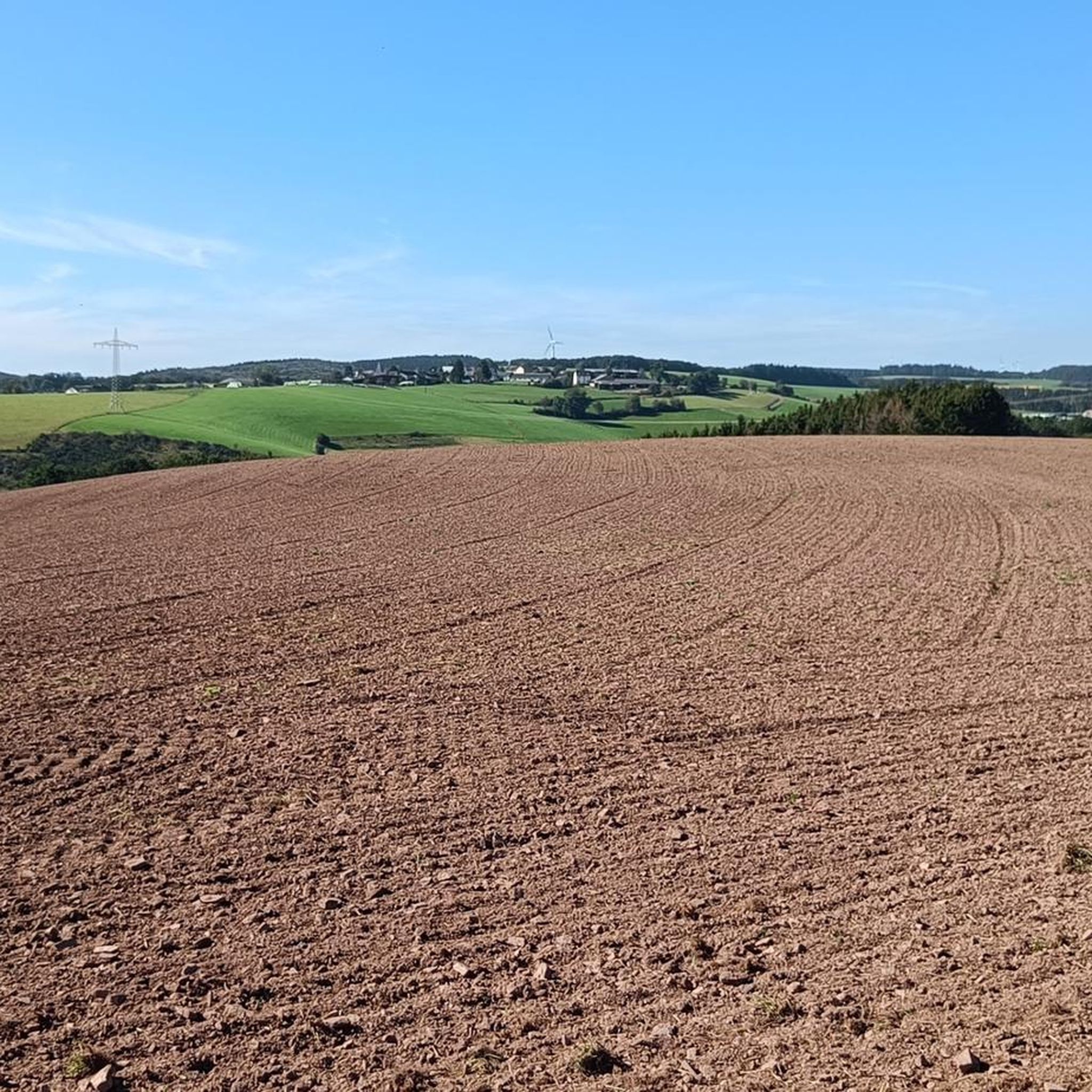
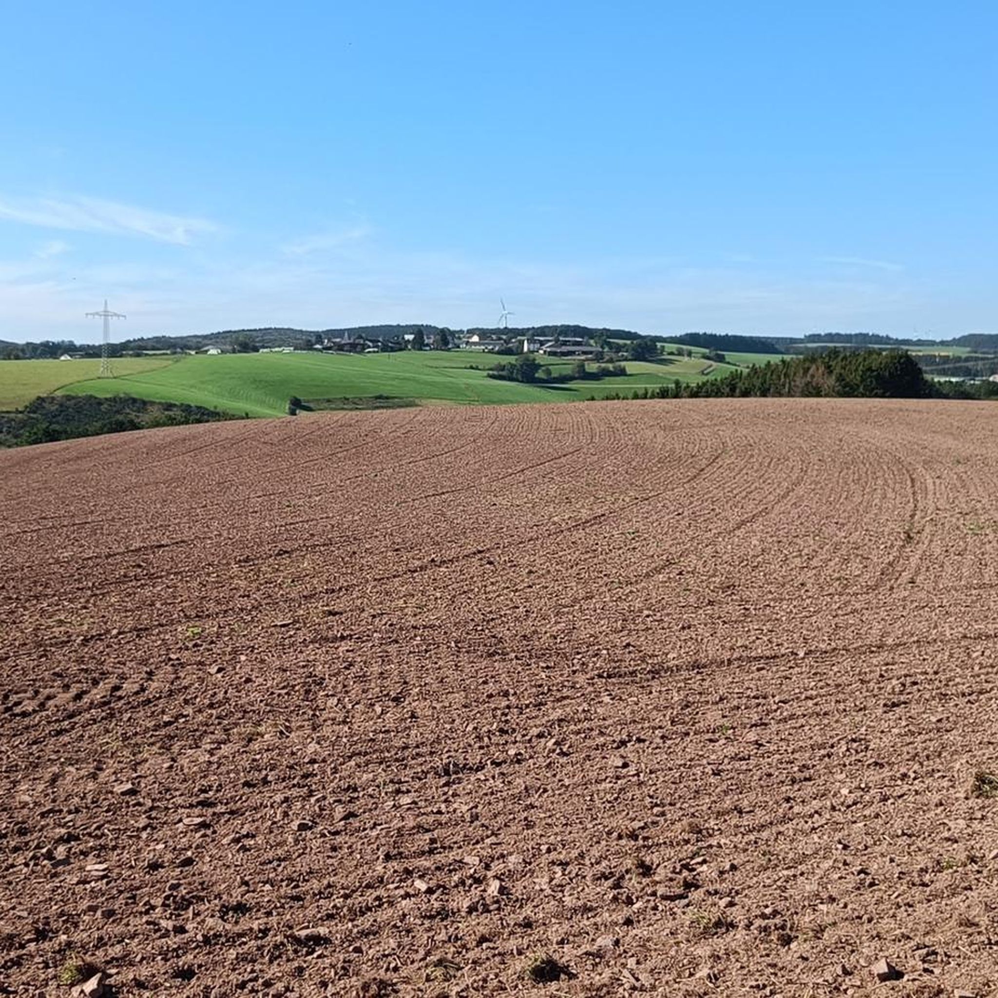
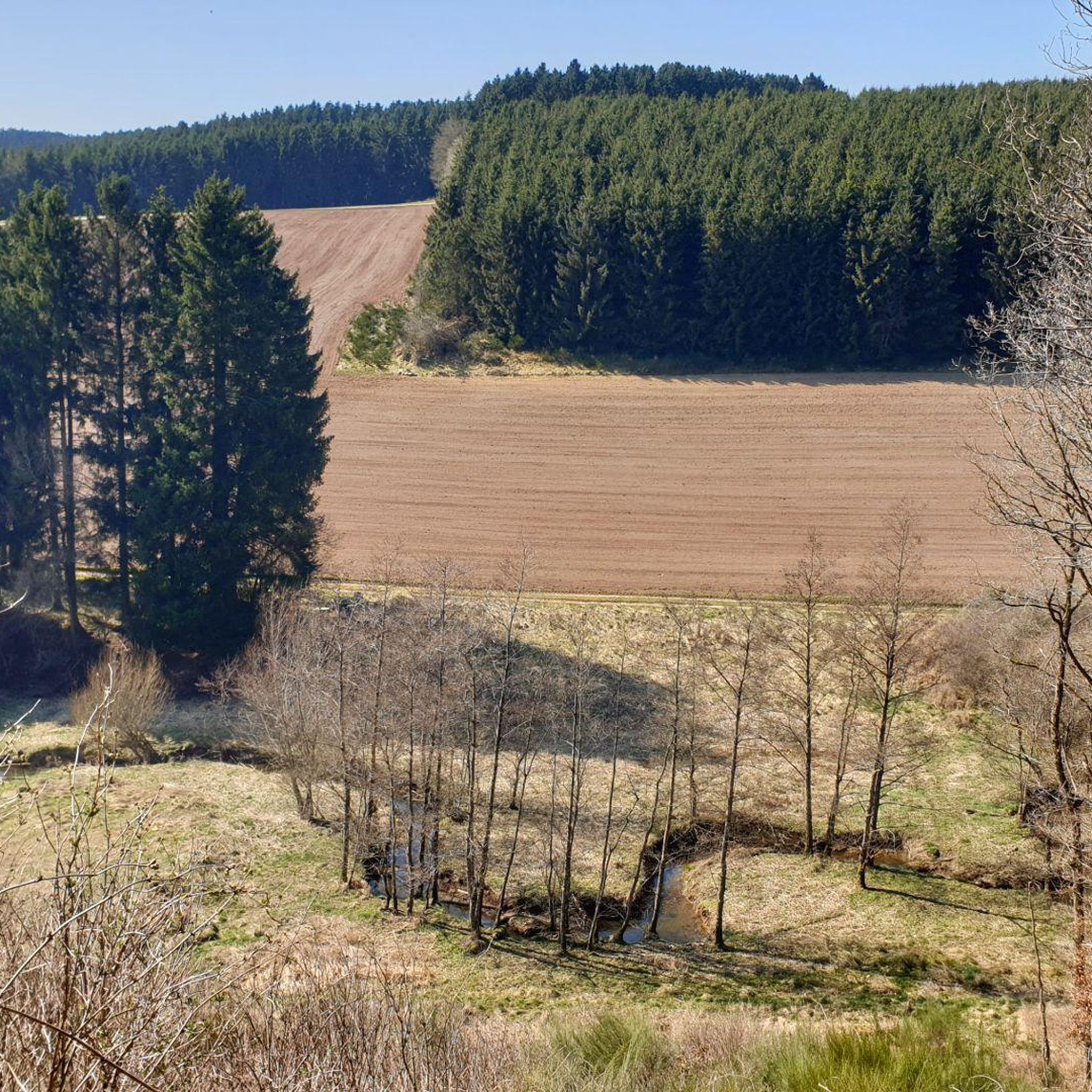
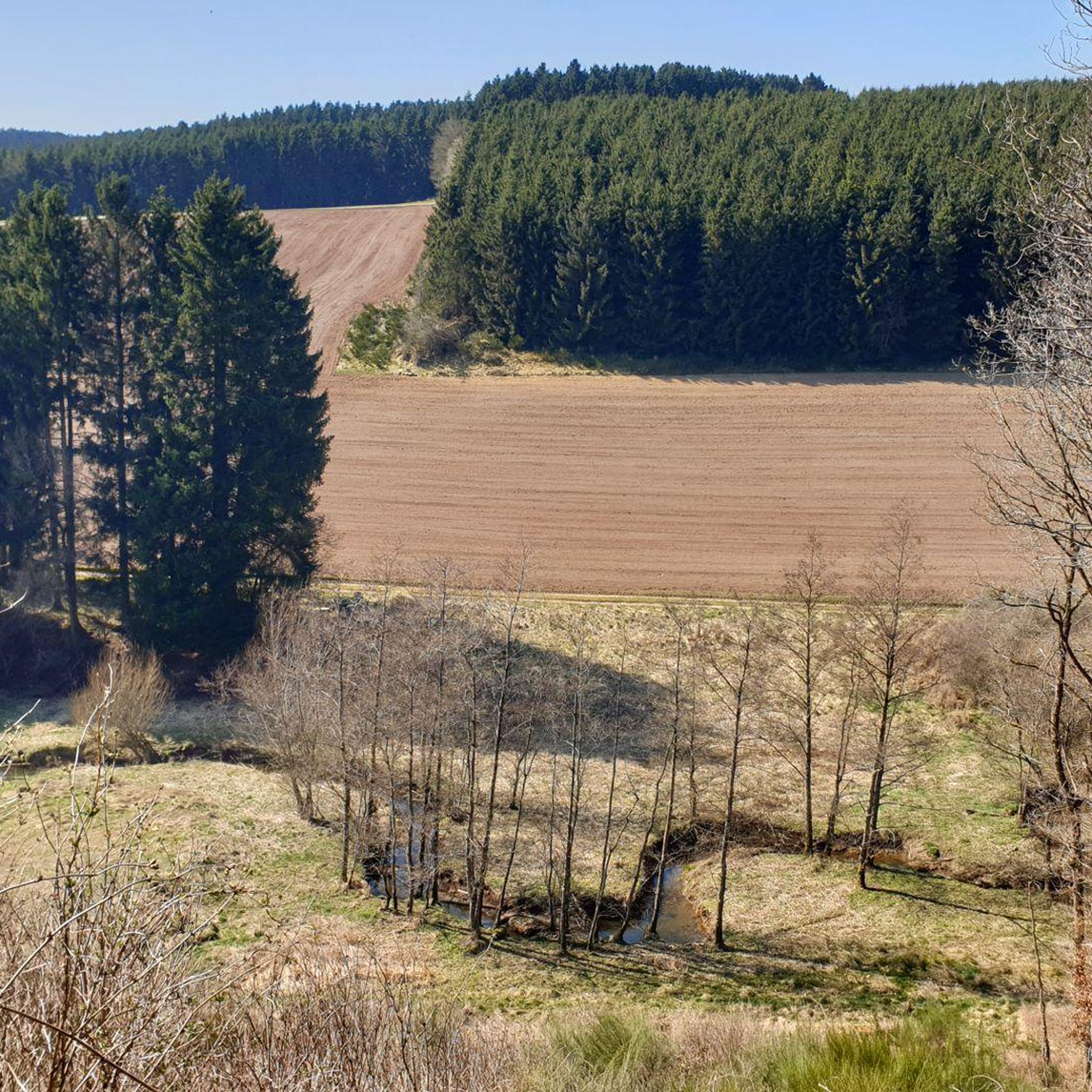

コミュニティからのヒント


Nice café in an old railway carriage
1
1

Beautifully landscaped campsite. Ideal for hiking and cycling.
0
0

Delicious cocoa, cake, friendly service and interesting atmosphere!!!
1
0

Very cozy café in the wagon at the old train station museum. Seating outside and inside. Parking for cyclists possible. Easy to navigate hiking and cycling path.
0
0

Very nice place to take a break. Located right on the cycle route. There is also a small railway museum next to it.
1
0

Here you cross the Bierbach, which flows into the Prüm shortly afterwards. I tried it. It tastes even more watery than Kölsch... :D
2
0

Great café in a nice atmosphere with very tasty cakes...
0
0
プロンスフェルトでのの人気観光スポット

komootモバイルアプリでインスピレーションを得よう


さらに探索
他の地域の最高のハイキングを見てみましょう。
