ケスフェルトのおすすめウォーキング&ハイキングルート
4.5
(3396)
12,149
ハイカー
467
ハイキング
ケスフェルト周辺でのハイキングは、景色を満喫するのに最適な手段のひとつですが、適切なハイキングルートを見つけることは簡単ではありません。 ケスフェルト周辺の人気ハイキング&ウォーキングコースを参考にすれば、行きたいルートをすぐに見つけられます。
最終更新日: 7月 24, 2026
4.8
(12)
79
ハイカー
初級者向けハイキング. あらゆるフィットネスレベルに適しています。 進みやすいルートです。あらゆるスキルレベルに適しています。
3.8
(6)
41
ハイカー
11.8km
03:13
170m
170m
中程度のハイキング. ある程度のフィットネスレベルが必要です。 進みやすいルートです。あらゆるスキルレベルに適しています。

無料新規登録
4.3
(11)
36
ハイカー
9.44km
02:35
130m
130m
中程度のハイキング. ある程度のフィットネスレベルが必要です。 進みやすいルートです。あらゆるスキルレベルに適しています。
4.6
(7)
24
ハイカー
6.06km
01:42
120m
120m
初級者向けハイキング. あらゆるフィットネスレベルに適しています。 進みやすいルートです。あらゆるスキルレベルに適しています。
4.4
(7)
26
ハイカー
17.4km
04:46
240m
240m
中程度のハイキング. ある程度のフィットネスレベルが必要です。 進みやすいルートです。あらゆるスキルレベルに適しています。
さらに多くのルートや他のユーザーのおすすめ情報を確認できます。
無料新規登録
すでにアカウントをお持ちですか?
おすすめのツアーは他のkomootユーザーが実際に経験した何千ものアクティビティに基づいています。
無料アカウントで今日から始めよう
次の冒険が待っています。
ログインまたは登録
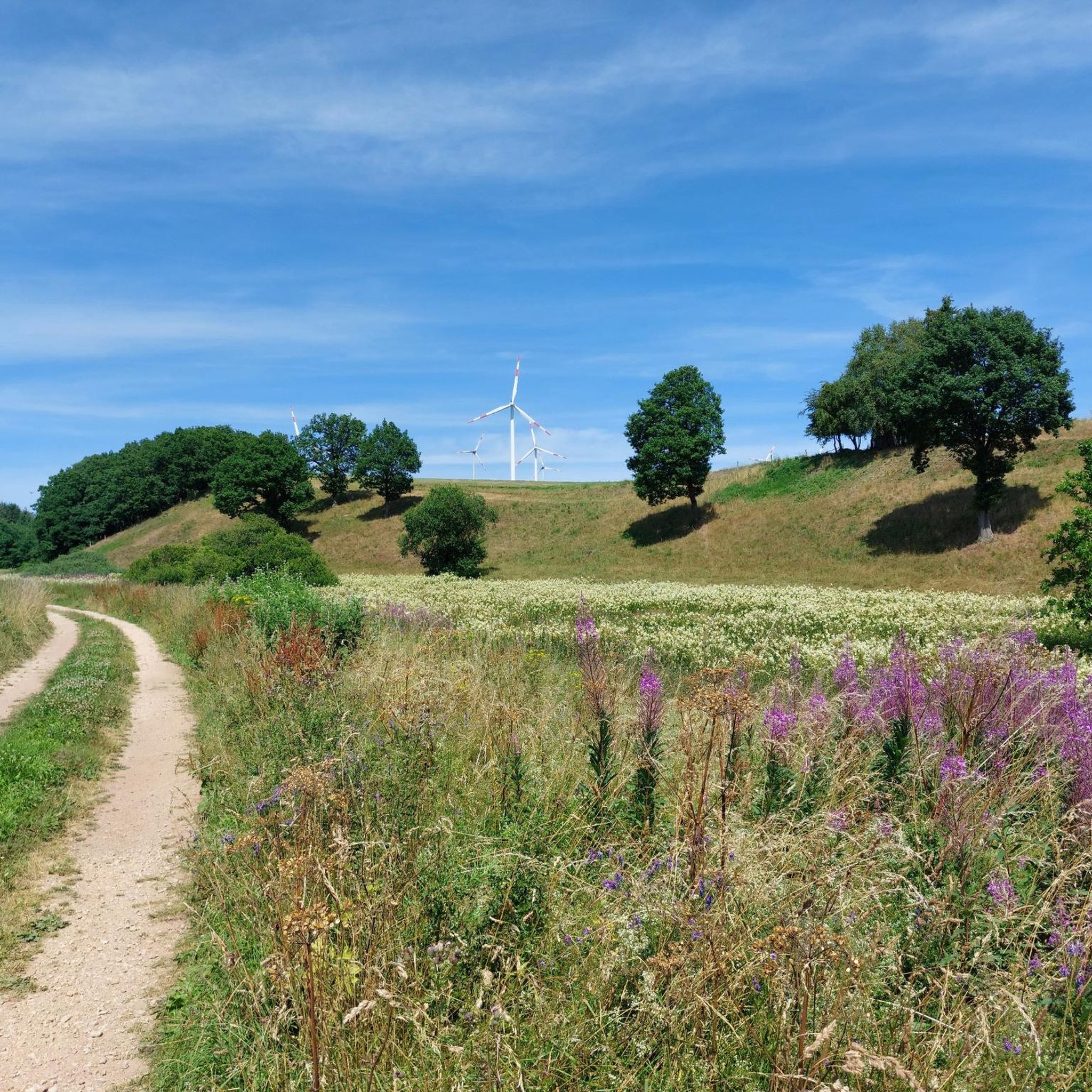
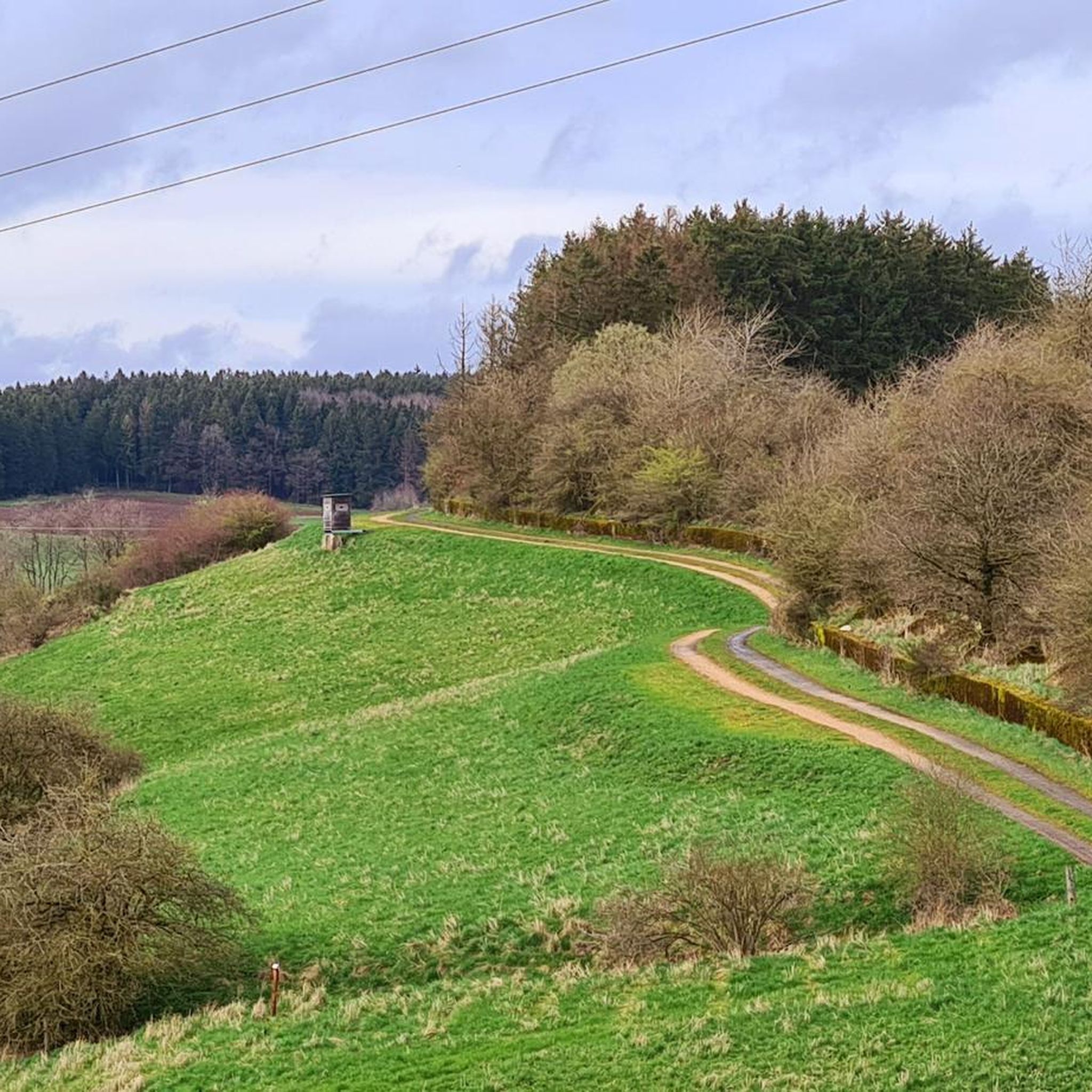
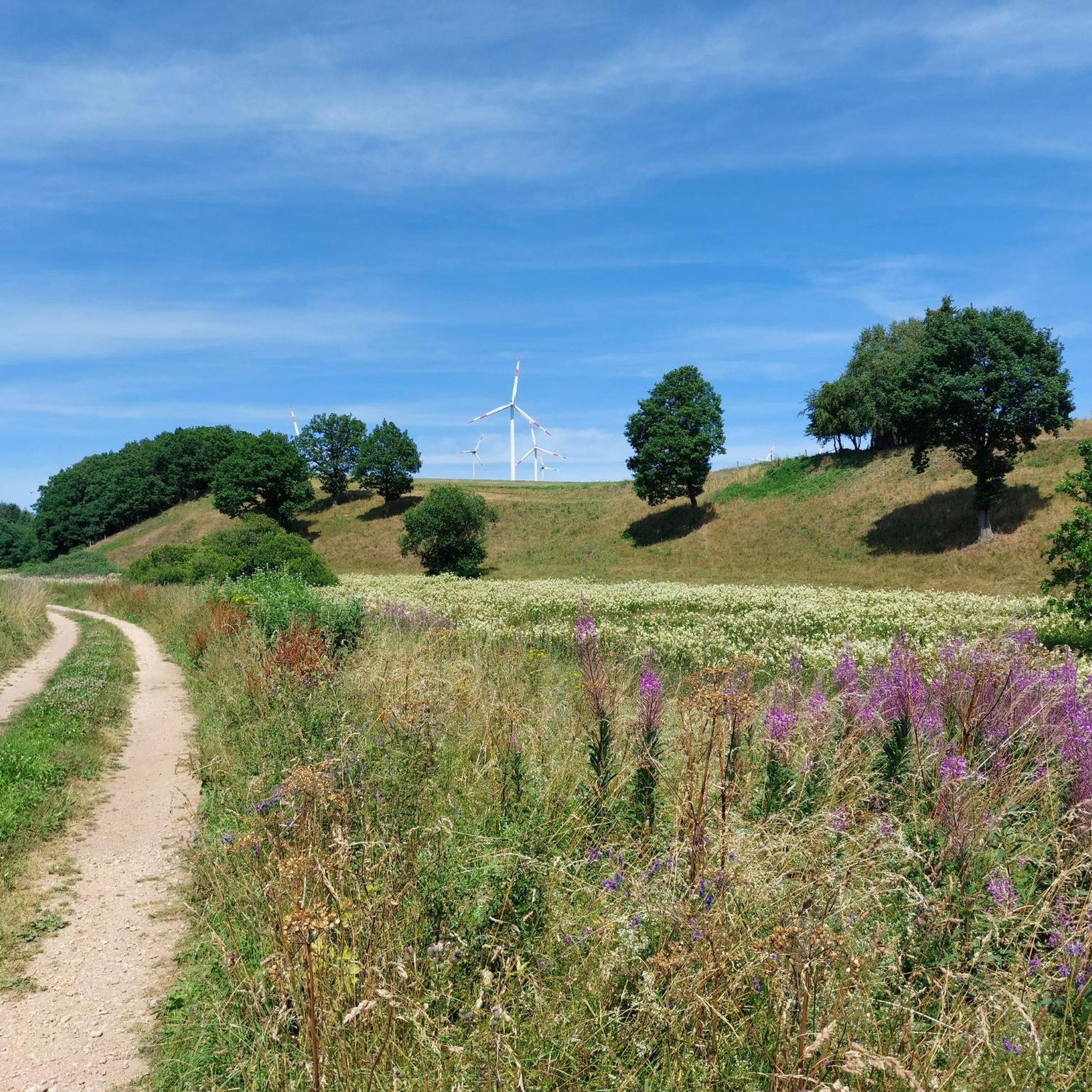
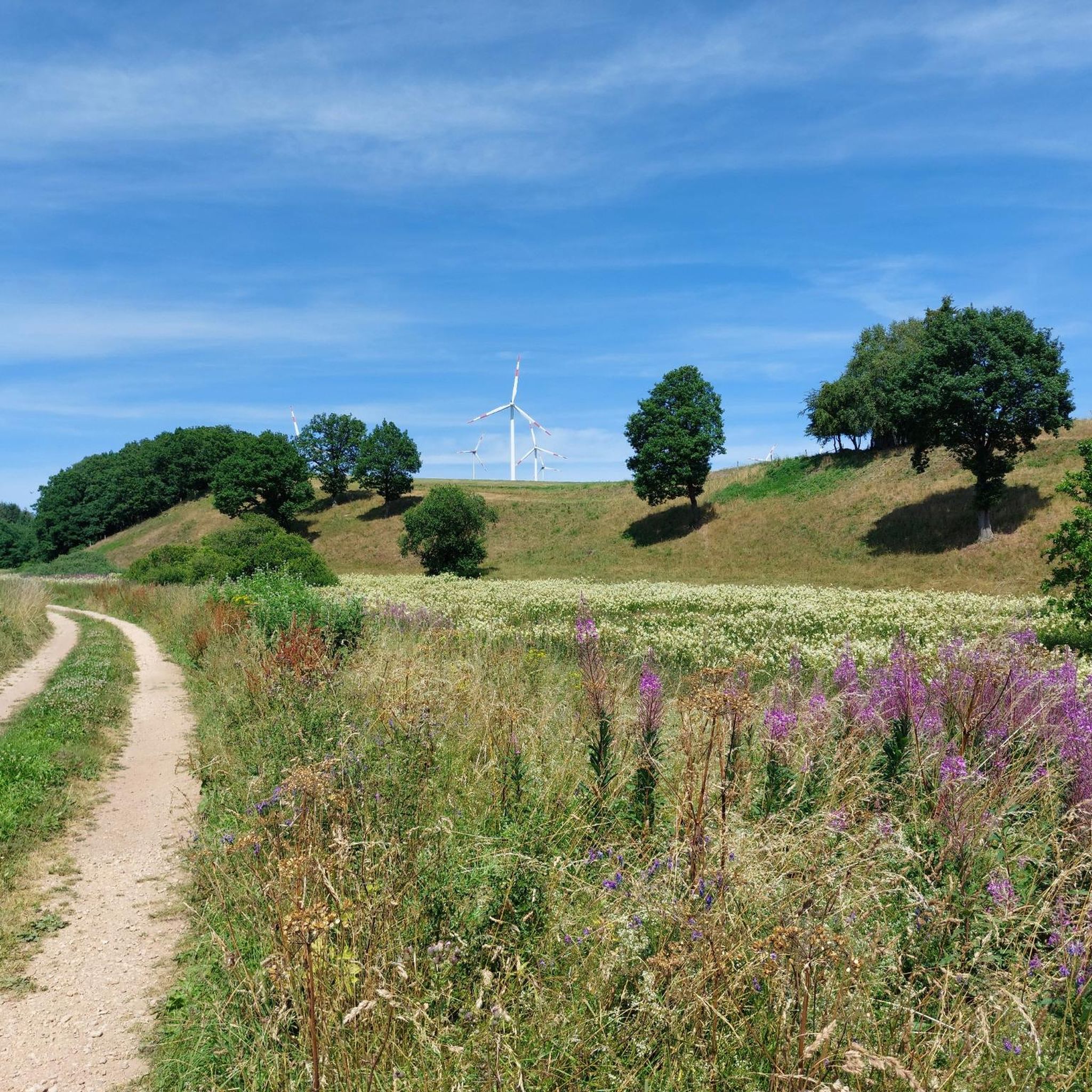

コミュニティからのヒント


Many windmills in the area that make disturbing noises.
0
3
Actually, this west wall should be made a hundred meters more visible.
0
0

One of the many West Wall bunkers that were blown up. You can still see a little bit of what it was originally built like.
1
0

Ideal conditions for the friendly rodents
5
0
The Alfbach rises in the Schneifel at an altitude of 631 m above sea level. NHN. The source is on the northern slope of the Schwarzen Mann (697.8 m above sea level, about three kilometers northeast of Halenfeld in the area of the local community of Buchet. The stream initially flows in a southwesterly direction towards Halenfeld, where it takes in its main tributary, the Donsbach, then turns south to Buchet and then continues its course to the southwest through Bleialf. At Großlangenfeld it changes direction again to the south and crosses under the A 60 at the Habscheider Mühle. Flowing mainly further to the southeast, the Alfbach flows west of Pronsfeld at 365 m above sea level. NHN into Prüm coming from the north.
5
0

Very nice vantage point with a view over Pronsfeld. The vantage point can be easily reached on foot, but sturdy shoes are recommended.
0
0
Here you can treat yourself to a delicious cup of coffee after a hike or walk. But delicious homemade cakes are also available. There is also an e-bike charging station on site.
2
0
ケスフェルトでのの人気観光スポット

komootモバイルアプリでインスピレーションを得よう


さらに探索
他の地域の最高のハイキングを見てみましょう。
