モンシャウのおすすめウォーキング&ハイキングルート
4.6
(24789)
84,934
ハイカー
617
ハイキング
モンシャウ 周辺でおすすめのハイキングやウォーキングを楽しんでいただけるように、このエリアの小径やルートを集めたkomootコレクション全体を見直しました。 以下で各ルートの詳細をご覧になり、モンシャウ周辺の大自然を満喫する際の参考にしてください。
最終更新日: 10月 10, 2026
4.7
(1590)
4,828
ハイカー
14.7km
04:03
210m
210m
中程度のハイキング. ある程度のフィットネスレベルが必要です。 全般的に進みやすいルートです。安定して歩行できる技術が必要です。
4.7
(1583)
4,818
ハイカー
15.3km
04:15
240m
240m
中程度のハイキング. ある程度のフィットネスレベルが必要です。 全般的に進みやすいルートです。安定して歩行できる技術が必要です。

4.7
(524)
2,015
ハイカー
22.4km
06:15
430m
440m
難しいハイキング. 標準以上のフィットネスレベルが必要です。 進みやすいルートです。あらゆるスキルレベルに適しています。
4.7
(358)
1,278
ハイカー
23.9km
06:50
450m
700m
難しいハイキング. 標準以上のフィットネスレベルが必要です。 全般的に進みやすいルートです。安定して歩行できる技術が必要です。
4.3
(78)
269
ハイカー
8.73km
02:24
140m
140m
中程度のハイキング. ある程度のフィットネスレベルが必要です。 全般的に進みやすいルートです。安定して歩行できる技術が必要です。
さらに多くのルートや他のユーザーのおすすめ情報を確認できます。
すでにアカウントをお持ちですか?
おすすめのツアーは他のkomootユーザーが実際に経験した何千ものアクティビティに基づいています。
無料アカウントで今日から始めよう
次の冒険が待っています。
モンシャウ周辺で人気
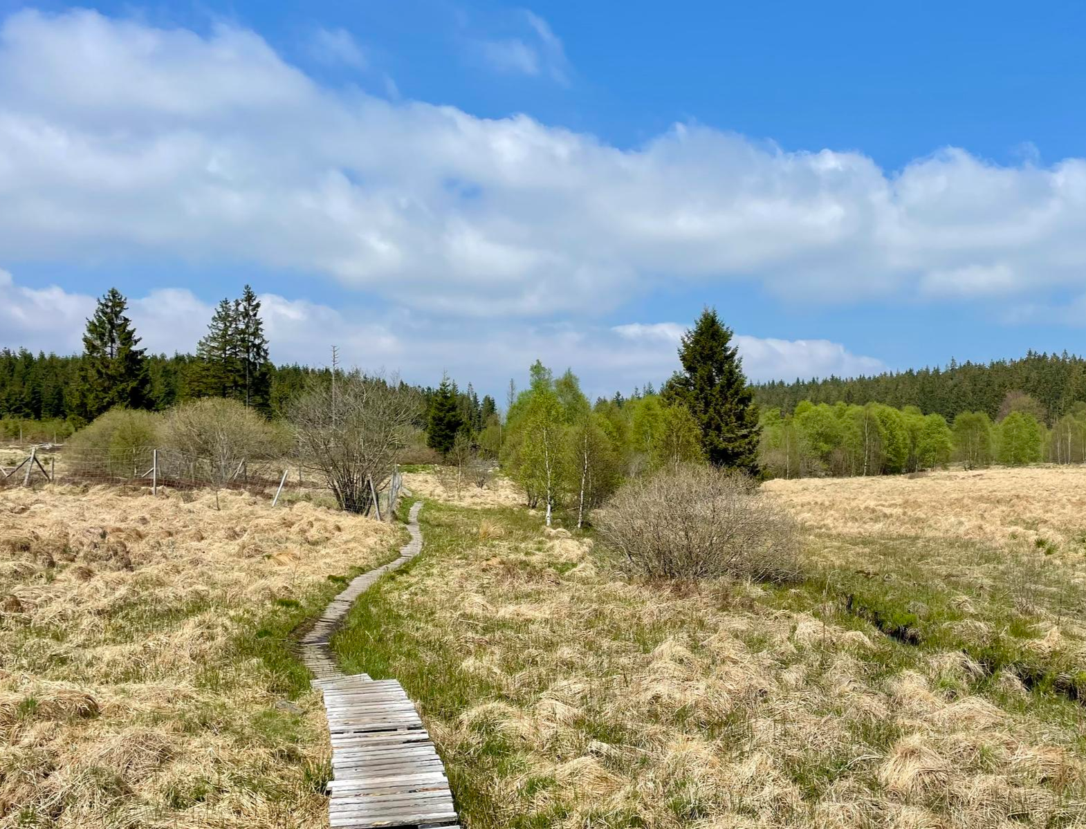
自然と歴史をドイツ=ベルギー国境で-思い出の道
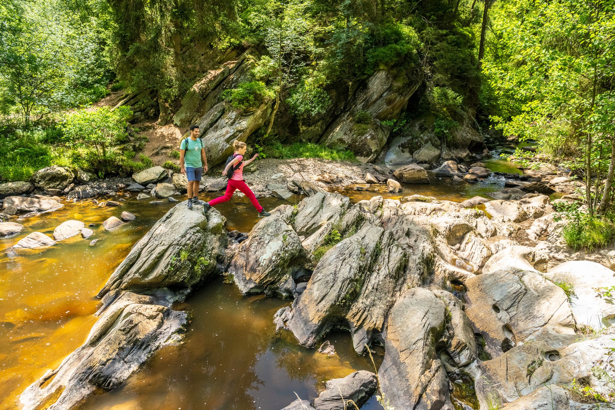
Shaped by rock and water – hikes in the Rureifel region
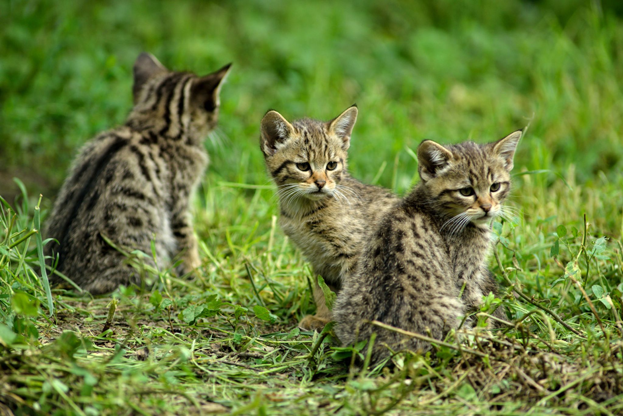
Hike with BUND on the trail of the European wildcat
The Eifelsteig's 8 partner trails in Aachen region
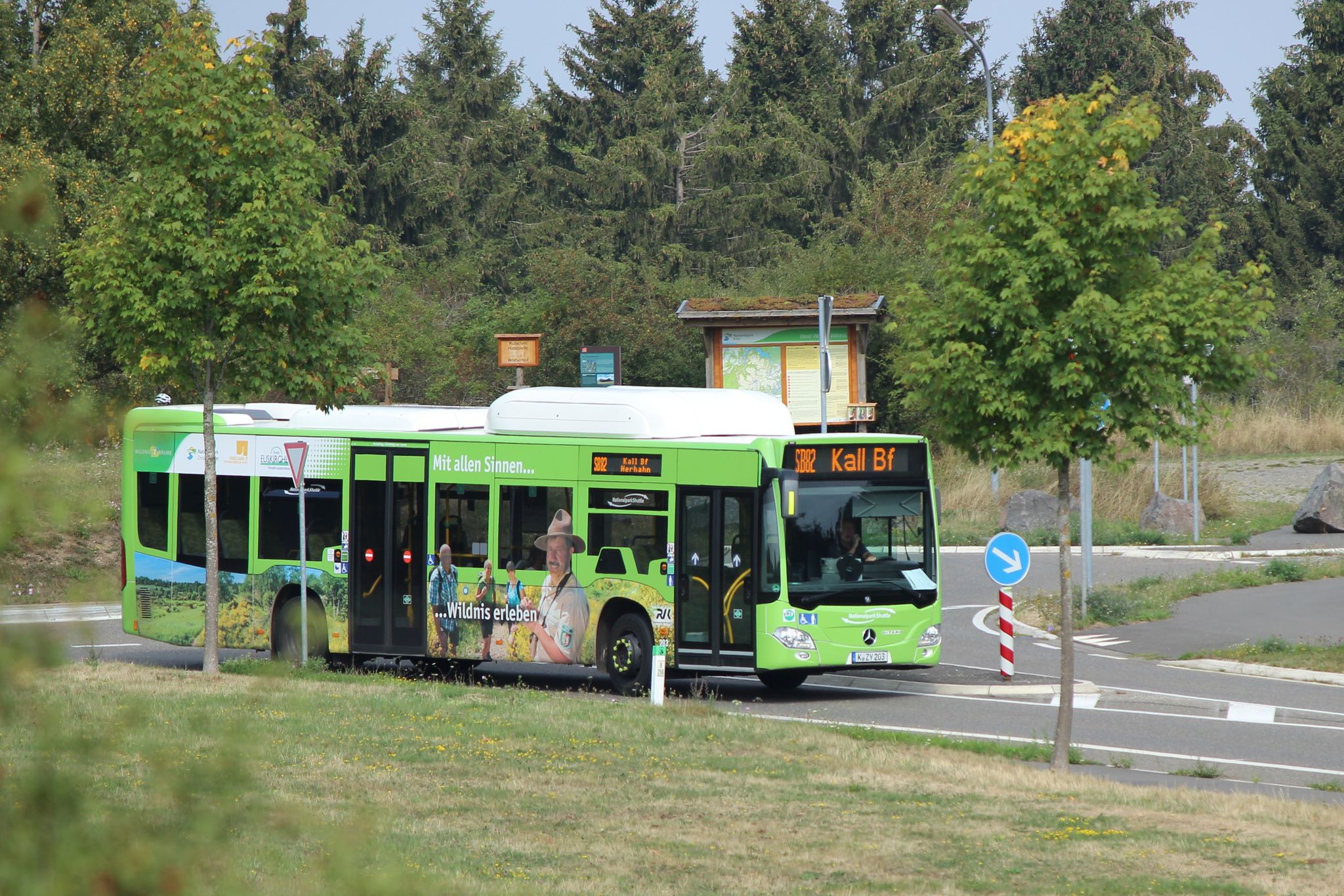
Next stop:アリストングー、ジェール国のEifel共和国プロジランドを有限ないます
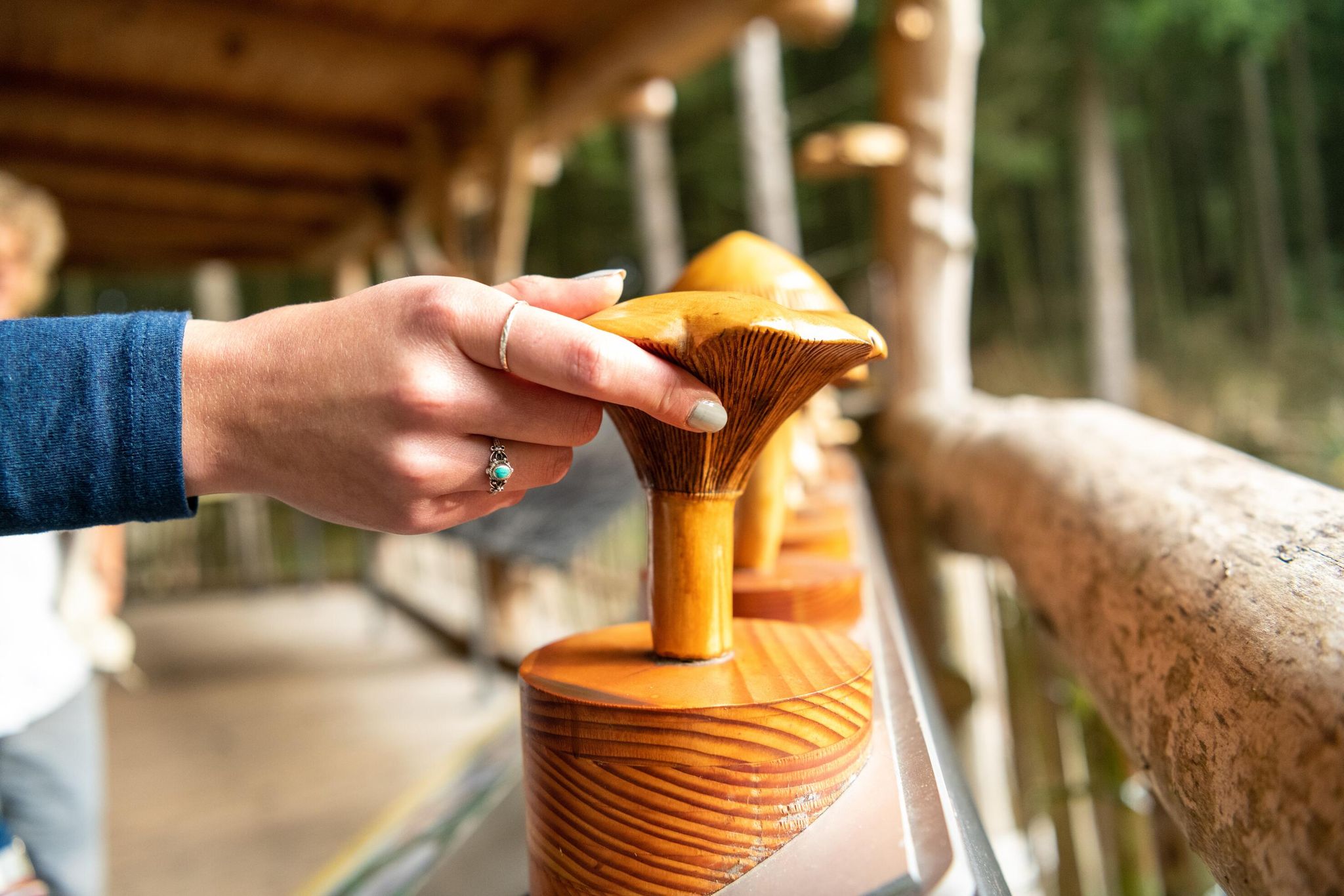
ブランドのエイフォ国気のログラード
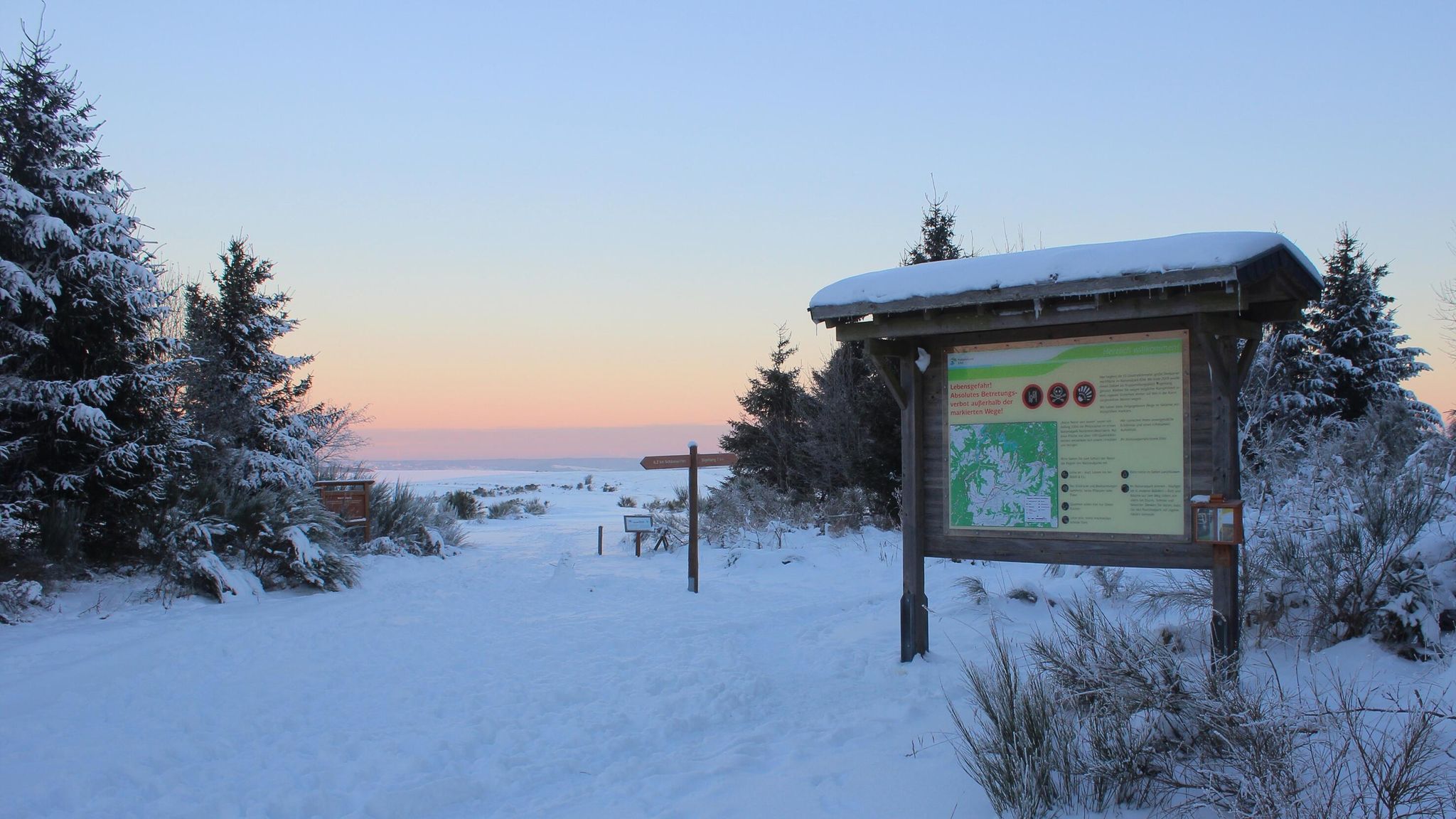
アイフェル国立公園の冬のハイキングコース
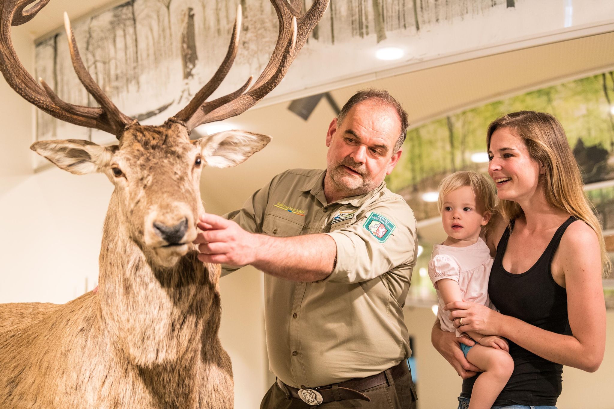
アイフェル国立公園の情報センターと施設
ワイルダネス・トレイル - アイフェル国立公園を通じて四段階

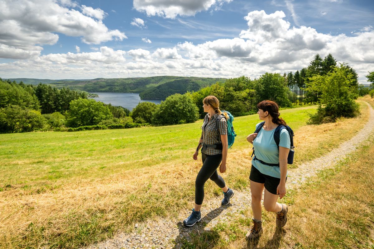
Volcanoes, water, forest – the partner trails of the Eifelsteig
モンシャウでのの他の冒険


コミュニティからのヒント

ノアベルトゥス礼拝堂は、カルターヘルベルクとミュッツェニヒの間にあるライヒェンシュタイナー橋の近く、道端に絵のように美しい場所にあります。地元の砕石で建てられた八角形の礼拝堂は、1926年春にプレモントレ会修道会の創設者である聖ノアベルトゥス・フォン・ザンテンを称えて建てられ、1926年6月6日に奉献されました。 内部には聖ユダ・タデウスの像があります。数多くの奉納板、花、ろうそくは、この礼拝堂が今日まで祈りと個人的な崇拝の場所として訪れられていることを物語っています。聖ノアベルトゥスと聖ヘルマン・ヨーゼフ・フォン・シュタインフェルトの肖像も、かつてのライヒェンシュタイン修道院とのつながりを思い出させます。
25
1

非常に美しい、清潔な休憩所であり、さらにいくつかの展示パネルと情報があります。 Perlenbachの東にあるサイクリングロードは(9/26現在)新しく砂利が敷かれ、走行するのがひどいです。
8
0

Daverkaulは大きな空き地です。時間をかけて静けさをお楽しみください。景色をお楽しみください。素晴らしい。
1
0

A small cabin, a picnic table and some information are available to welcome you in complete peace and quiet.
6
0
According to local tradition, an old legend explains the origin of the Teufelsley (Devil's Rock). The devil was said to have been enraged because a monastery was to be built in the region. In his anger, he dislodged a massive boulder from the heights to destroy the structure. However, as he approached with the stone, an angel intervened, thwarting the devil's plan and stopping his attack. The rock brought by the devil then remained in its present location and has been called Teufelsley ever since.
46
0

Take a break and learn about the protection of the endangered freshwater pearl mussel: This is possible here.
4
0

"The Perlenbach Dam impounds the river of the same name - the Perlenbach. The water from the dam is used for drinking water supply and hydroelectric power generation. The need to improve the drinking water supply in the Monschau district became particularly clear in the post-war years. With the cooperation of the District President of Aachen, the project was approved in 1953. The dam was completed and put into operation in 1956. The dam is designed for a storage capacity of 800,000 cubic meters. The dam is constructed as a rockfill dam and is 120 meters long and 18 meters high. The catchment area of the Perlenbach Dam covers 64.4 square kilometers and lies predominantly on Belgian territory. In addition to the Perlenbach, the Hasselbach, the Königsbach, the Römerbach, and the Höfener Bach streams feed the dam." (Dana Pfeiffer and Matthias Wirtz-Amling, LVR Department of Cultural Landscape Management, 2023) https://www.kuladig.de/Objektansicht/KLD-343561
0
0

Nice reservoir. Heavily covered. Only visible from one side (from the side of the busy road)
0
0

komootモバイルアプリでインスピレーションを得よう


さらに探索
他の地域の最高のハイキングを見てみましょう。
