ノルトラインヴェストファーレン州のおすすめウォーキング&ハイキングルート
4.5
(69895)
287,170
ハイカー
134,176
ハイキング
ノルトラインヴェストファーレン州でのハイキングに出かけて、ドイツのこのエリアを探索してみませんか?このガイドでご紹介するのは、komootがノルトラインヴェストファーレン州でのハイキング・ウォーキングルートのコレクション全体を評価して選び抜いた、このエリアの人気ハイキングルートです。あなたに合った でのハイキングを見つけるには、他のユーザーがアップロードした役立つ情報や写真を閲覧し、各ルートに関するみんなの意見やコメントを参考にしましょう。
最終更新日: 9月 30, 2026
4.7
(2355)
7,819
ハイカー
12.7km
03:41
330m
330m
中程度のハイキング. ある程度のフィットネスレベルが必要です。 進みやすいルートです。あらゆるスキルレベルに適しています。
4.7
(2122)
6,407
ハイカー
9.89km
02:46
180m
180m
中程度のハイキング. ある程度のフィットネスレベルが必要です。 全般的に進みやすいルートです。安定して歩行できる技術が必要です。

4.8
(2323)
7,338
ハイカー
10.5km
02:58
210m
210m
難しいハイキング. ある程度のフィットネスレベルが必要です。 安定して歩行できる技術、丈夫な靴、高標高地での登山経験が必要です。
4.8
(1985)
6,167
ハイカー
27.5km
07:44
520m
520m
難しいハイキング. 標準以上のフィットネスレベルが必要です。 安定して歩行できる技術、丈夫な靴、高標高地での登山経験が必要です。
4.8
(2312)
7,331
ハイカー
10.5km
02:56
210m
210m
中程度のハイキング. ある程度のフィットネスレベルが必要です。 進みやすいルートです。あらゆるスキルレベルに適しています。
4.8
(1806)
5,216
ハイカー
10.5km
02:41
30m
30m
中程度のハイキング. ある程度のフィットネスレベルが必要です。 全般的に進みやすいルートです。安定して歩行できる技術が必要です。
4.8
(1751)
5,448
ハイカー
12.1km
03:20
200m
200m
中程度のハイキング. ある程度のフィットネスレベルが必要です。 進みやすいルートです。あらゆるスキルレベルに適しています。
4.7
(1590)
4,828
ハイカー
14.7km
04:03
210m
210m
中程度のハイキング. ある程度のフィットネスレベルが必要です。 全般的に進みやすいルートです。安定して歩行できる技術が必要です。
4.7
(1583)
4,818
ハイカー
15.3km
04:15
240m
240m
中程度のハイキング. ある程度のフィットネスレベルが必要です。 全般的に進みやすいルートです。安定して歩行できる技術が必要です。
4.7
(1316)
4,495
ハイカー
10.2km
02:47
150m
160m
中程度のハイキング. ある程度のフィットネスレベルが必要です。 進みやすいルートです。あらゆるスキルレベルに適しています。
さらに多くのルートや他のユーザーのおすすめ情報を確認できます。
すでにアカウントをお持ちですか?
おすすめのツアーは他のkomootユーザーが実際に経験した何千ものアクティビティに基づいています。
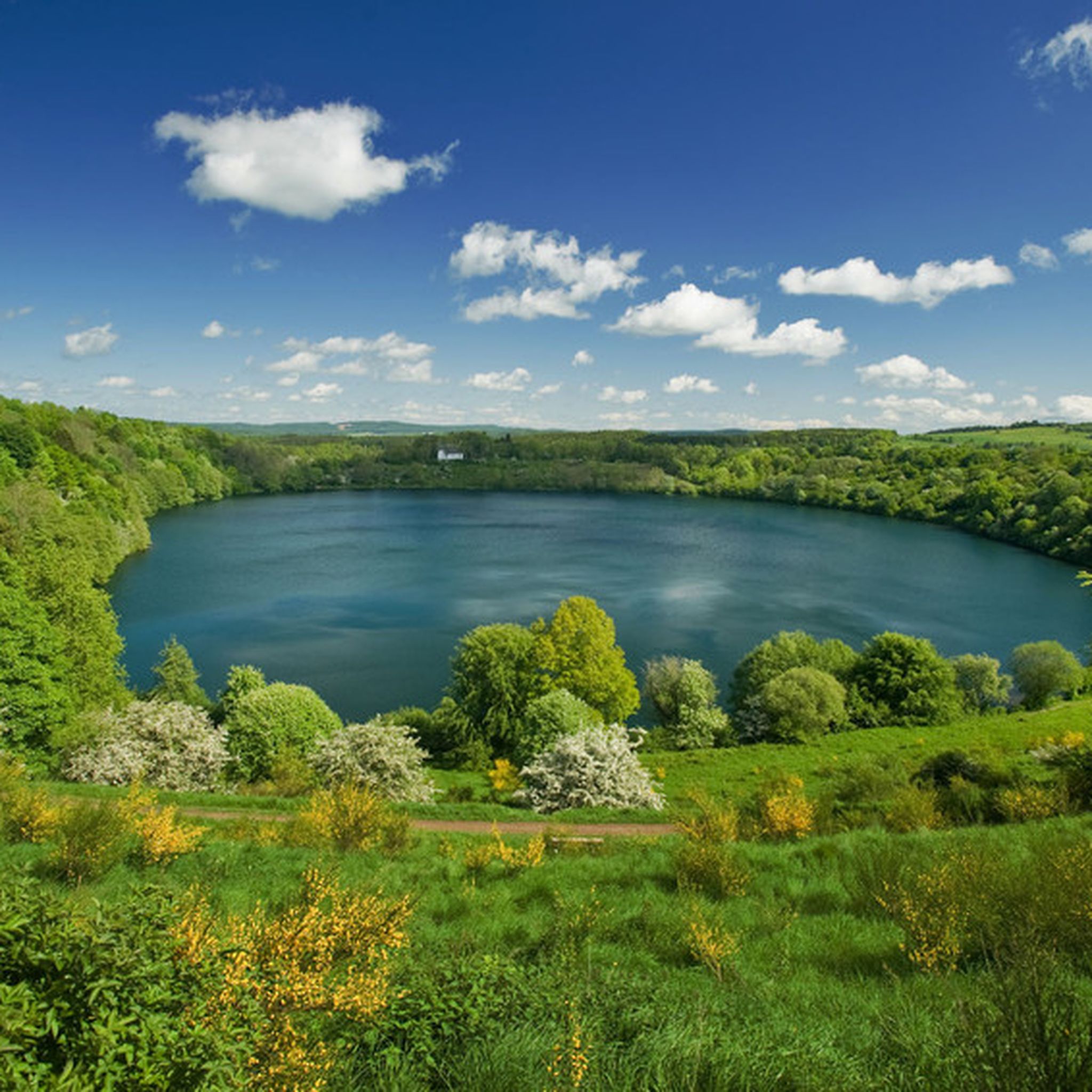
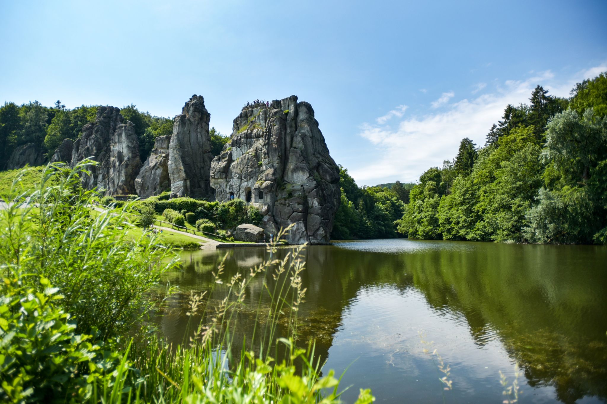
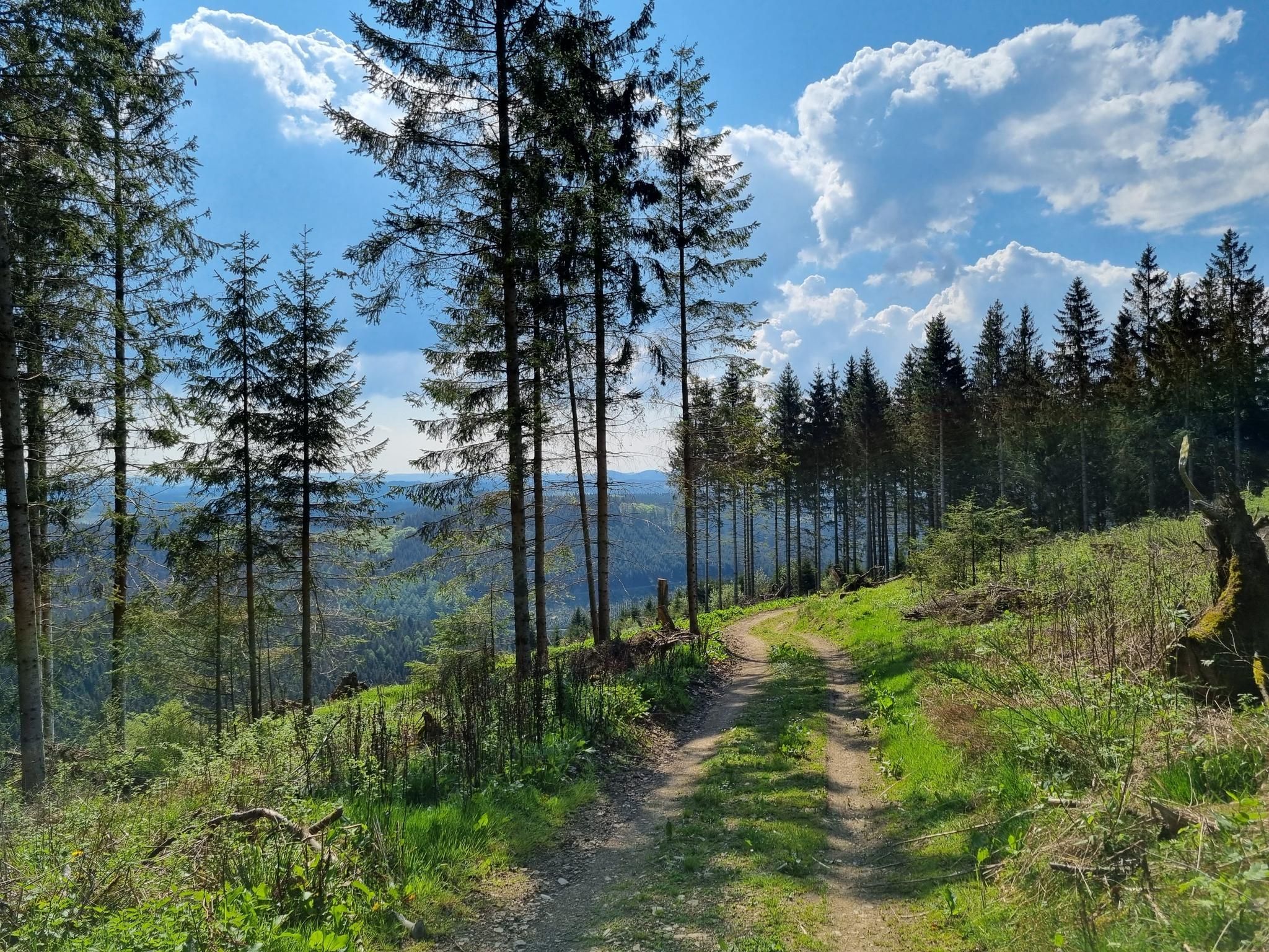

ノルトラインヴェストファーレン州でのの他の冒険


コミュニティからのヒント

非常に美しい、清潔な休憩所であり、さらにいくつかの展示パネルと情報があります。 Perlenbachの東にあるサイクリングロードは(9/26現在)新しく砂利が敷かれ、走行するのがひどいです。
7
0

Daverkaulは大きな空き地です。時間をかけて静けさをお楽しみください。景色をお楽しみください。素晴らしい。
1
0

A small cabin, a picnic table and some information are available to welcome you in complete peace and quiet.
5
0

Take a break and learn about the protection of the endangered freshwater pearl mussel: This is possible here.
4
0

"But perhaps the time is not yet ripe for it (...) lest one day they bring disaster upon one another and their peoples. And if they should do so nevertheless, may the good Lord in his counsel decree that at least afterwards, when the disaster has already befallen them all, they will find their way back to one another and make peace in this world once and for all." Thus writes Otfried Preußler (born 1923 in Reichenberg, Bohemia), best known as a children's book author, in his work "The Flight to Egypt. Royal Bohemian Part." While his lines are about the German and Czech inhabitants of the Kingdom of Bohemia in the context of the story, his statement is actually universally and timelessly valid.
9
0
"The hiker is immersed in the history of the old castle [Bensberg Castle] during the Franco-Prussian Wars when visiting the French and Prussian-Austrian military cemeteries in the neighboring Hardt Forest," reads the description of this section of the Bergisches Land Trail No. 13, which covers 10 kilometers and also includes the two military cemeteries (though the graves themselves are no longer preserved). For the complete route description, see =>> https://www.bergisches-wanderland.de/bergische-streifzuege/alle-streifzuege/13-bensberger-schlossweg-bergisch-gladbach-101-km
9
0
Already available as a hiking highlight, see https://www.komoot.com/de-de/highlight/776126
9
0
ノルトラインヴェストファーレン州でのの人気ルート
ノルトラインヴェストファーレン州でのの人気観光スポット

komootモバイルアプリでインスピレーションを得よう


さらに探索
他の地域の最高のハイキングを見てみましょう。
