ヒュルトゲンヴァルトのおすすめウォーキング&ハイキングルート
4.5
(11633)
39,346
ハイカー
399
ハイキング
ヒュルトゲンヴァルト周辺で人気のウォーキングやハイキングをお探しですか?ヒュルトゲンヴァルトが誇るこの美しい森周辺のルートを集めたkomootコレクションを参考にしてください。 ここでは、ヒュルトゲンヴァルト周辺の人気ハイキングコース&ウォーキングコースを紹介しています。魅力的なルートが見つかったら、さっそく冒険に出かけましょう。
最終更新日: 9月 12, 2026
4.7
(2123)
6,418
ハイカー
9.89km
02:46
180m
180m
中程度のハイキング. ある程度のフィットネスレベルが必要です。 全般的に進みやすいルートです。安定して歩行できる技術が必要です。
4.7
(449)
1,387
ハイカー
9.30km
02:42
250m
250m
中程度のハイキング. ある程度のフィットネスレベルが必要です。 進みやすいルートです。あらゆるスキルレベルに適しています。

4.6
(354)
1,153
ハイカー
7.10km
01:59
140m
140m
初級者向けハイキング. あらゆるフィットネスレベルに適しています。 進みやすいルートです。あらゆるスキルレベルに適しています。
4.6
(302)
992
ハイカー
6.95km
01:55
120m
120m
初級者向けハイキング. あらゆるフィットネスレベルに適しています。 進みやすいルートです。あらゆるスキルレベルに適しています。
4.7
(324)
1,028
ハイカー
7.42km
02:01
100m
100m
中程度のハイキング. ある程度のフィットネスレベルが必要です。 進みやすいルートです。あらゆるスキルレベルに適しています。
さらに多くのルートや他のユーザーのおすすめ情報を確認できます。
すでにアカウントをお持ちですか?
おすすめのツアーは他のkomootユーザーが実際に経験した何千ものアクティビティに基づいています。
無料アカウントで今日から始めよう
次の冒険が待っています。
ヒュルトゲンヴァルト周辺で人気
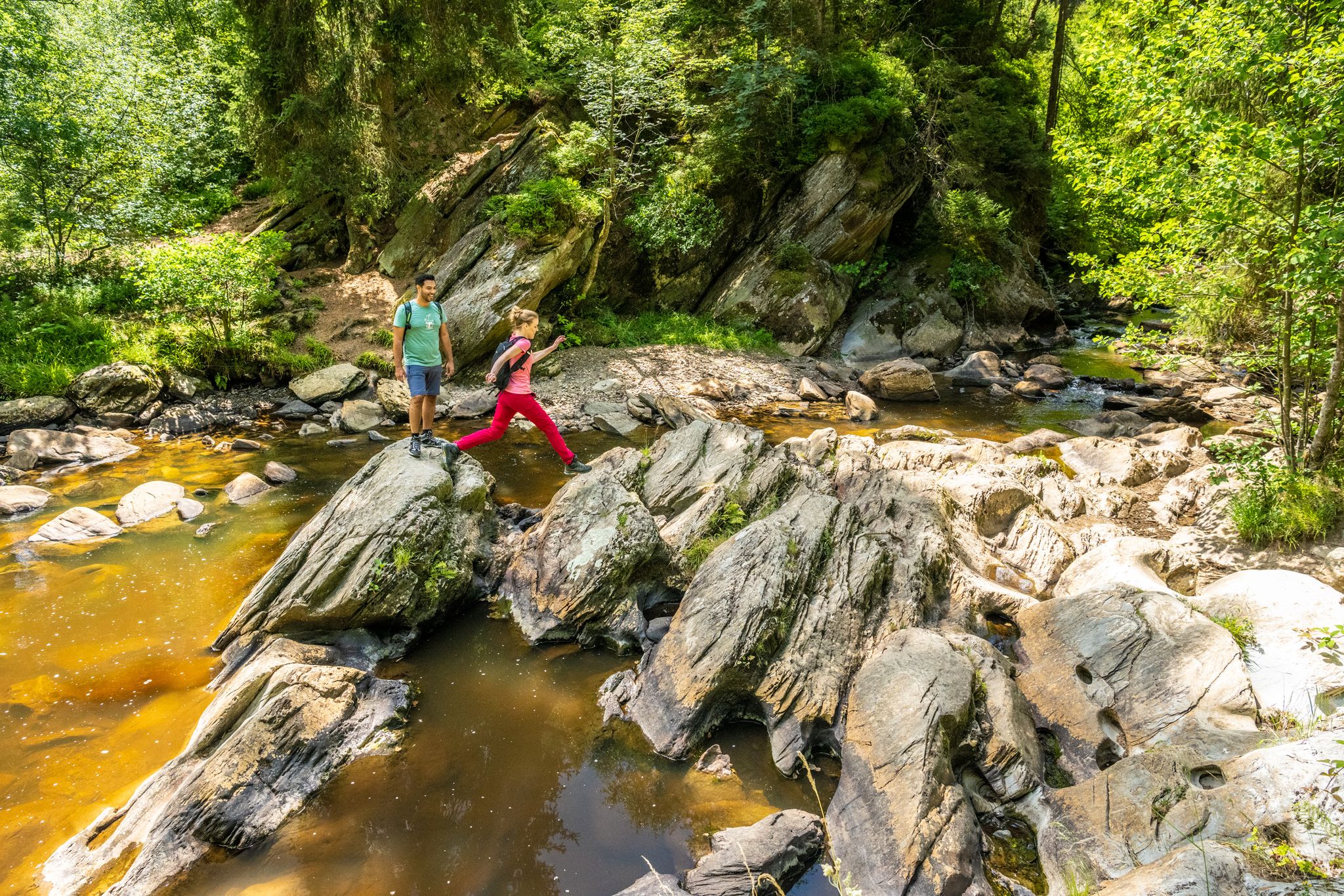
The Eifelsteig's 8 partner trails in Aachen region

Volcanoes, water, forest – the partner trails of the Eifelsteig
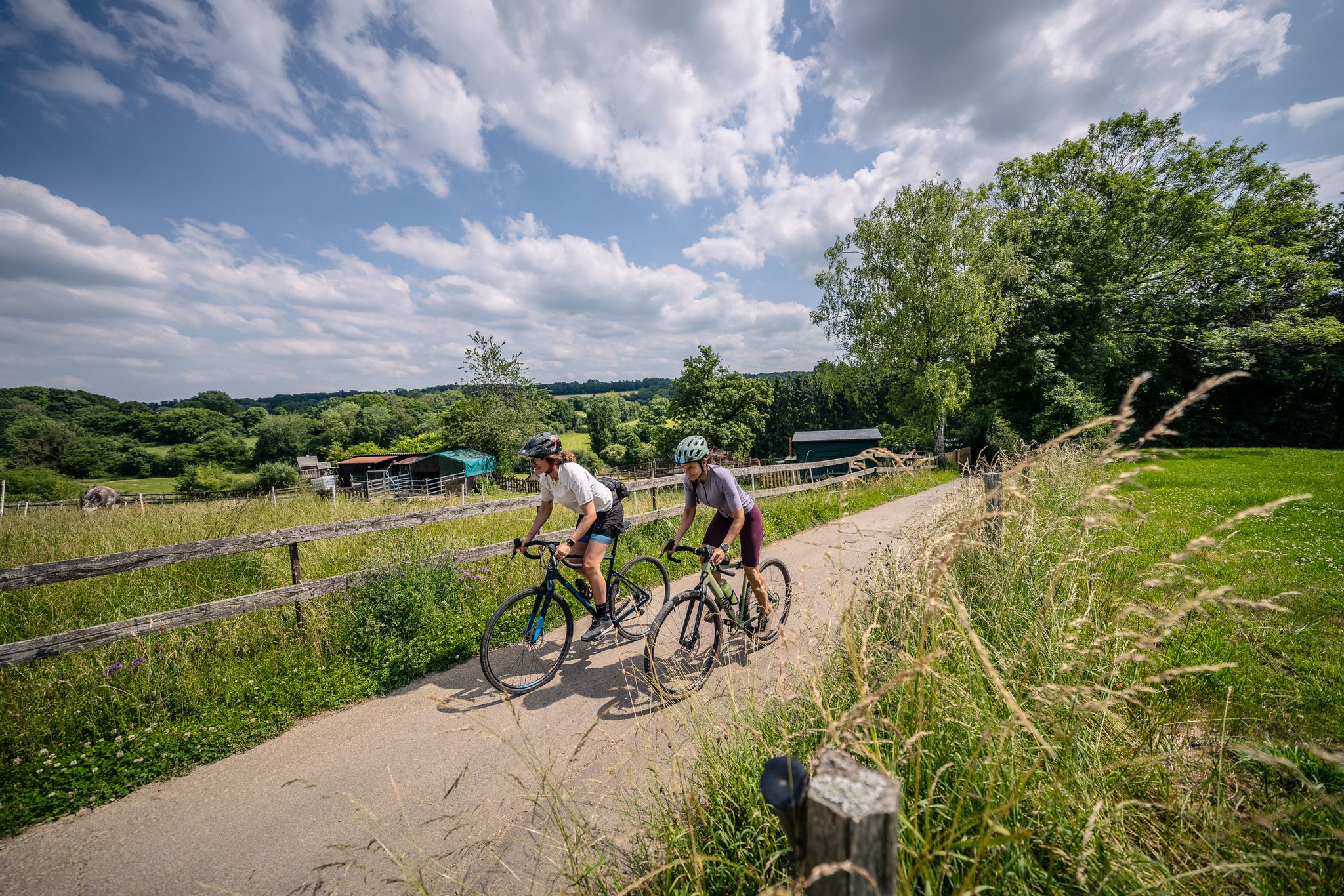
Gravel at its finest – rides around Aachen
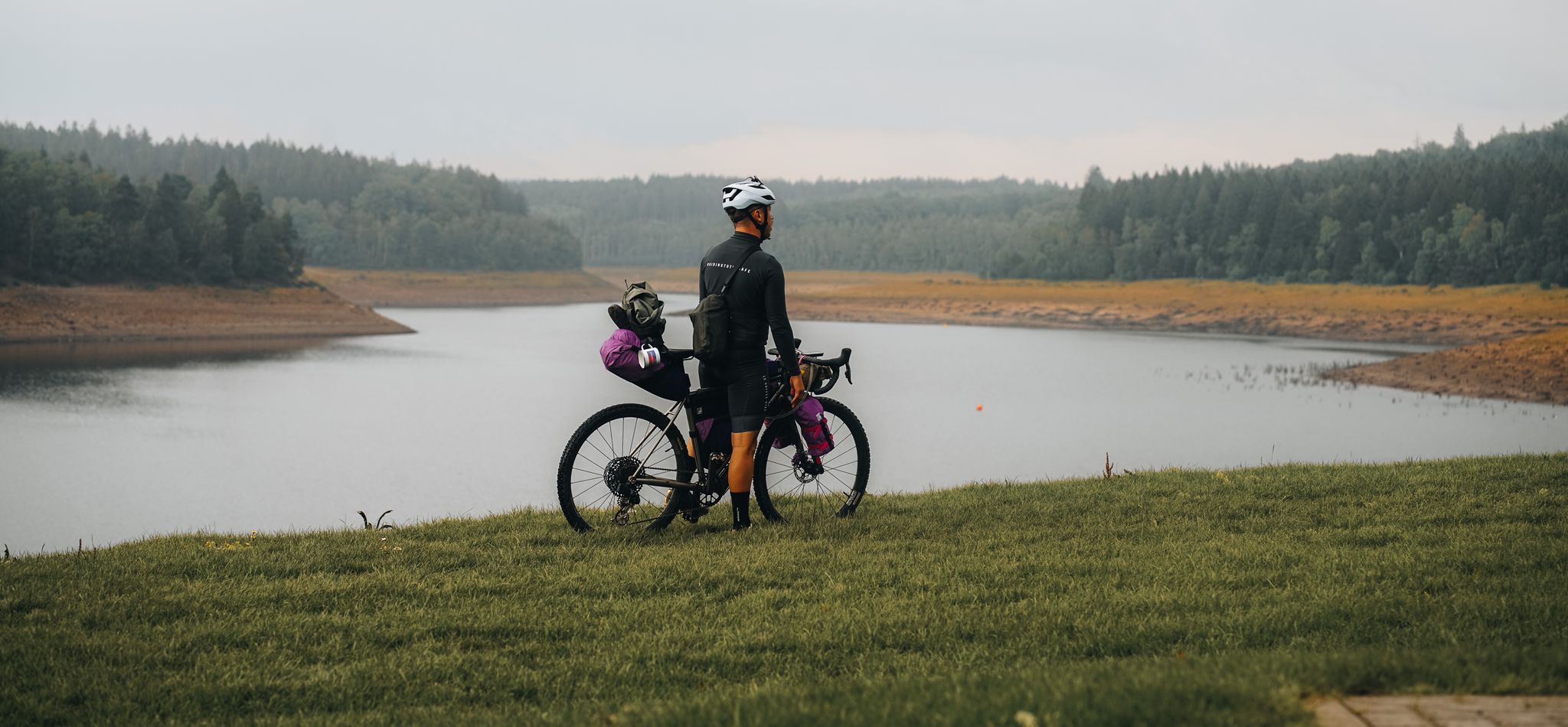
アイフェルを通過するバイクパッキング–レザーボアループ
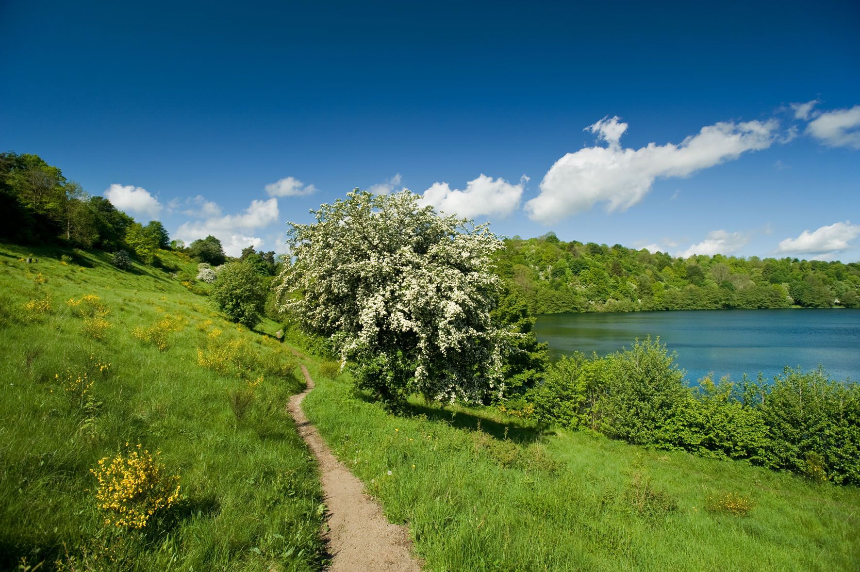
北アイフェルの長いトレイル週末
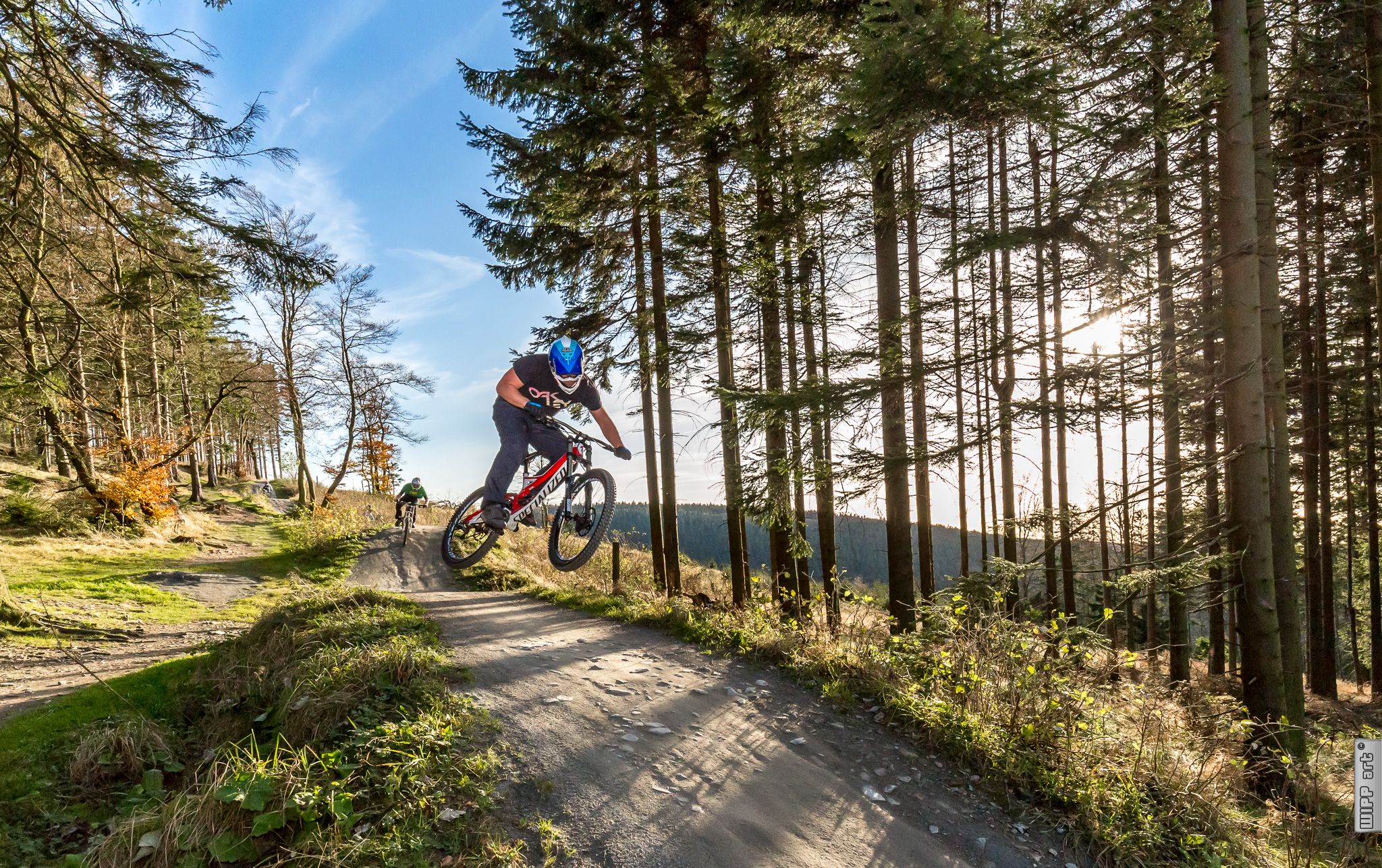
Bike parks in Western Germany
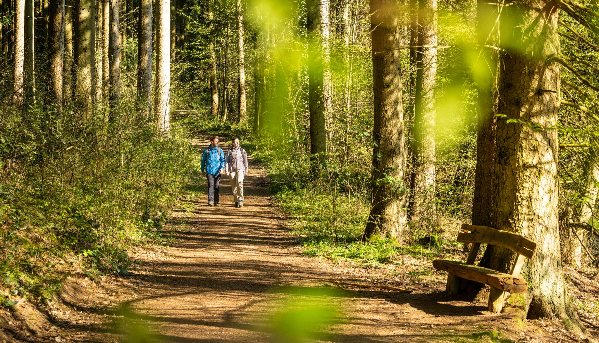
Wasser, Wald, Wildnis – Natur rund um die Kupferstadt Stolberg erleben
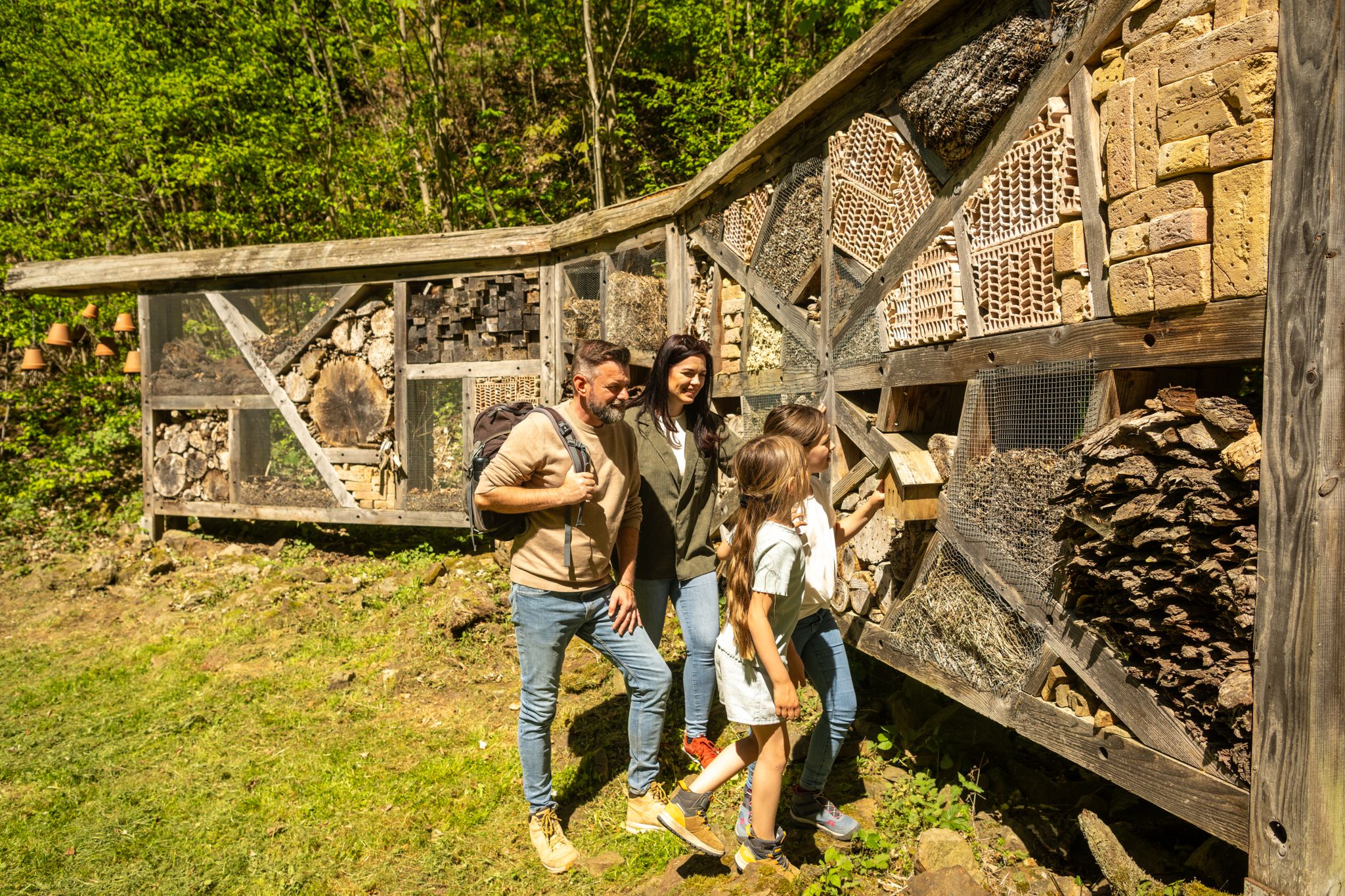
Familienrunden für Wissensdurstige – Kupferstadt Stolberg
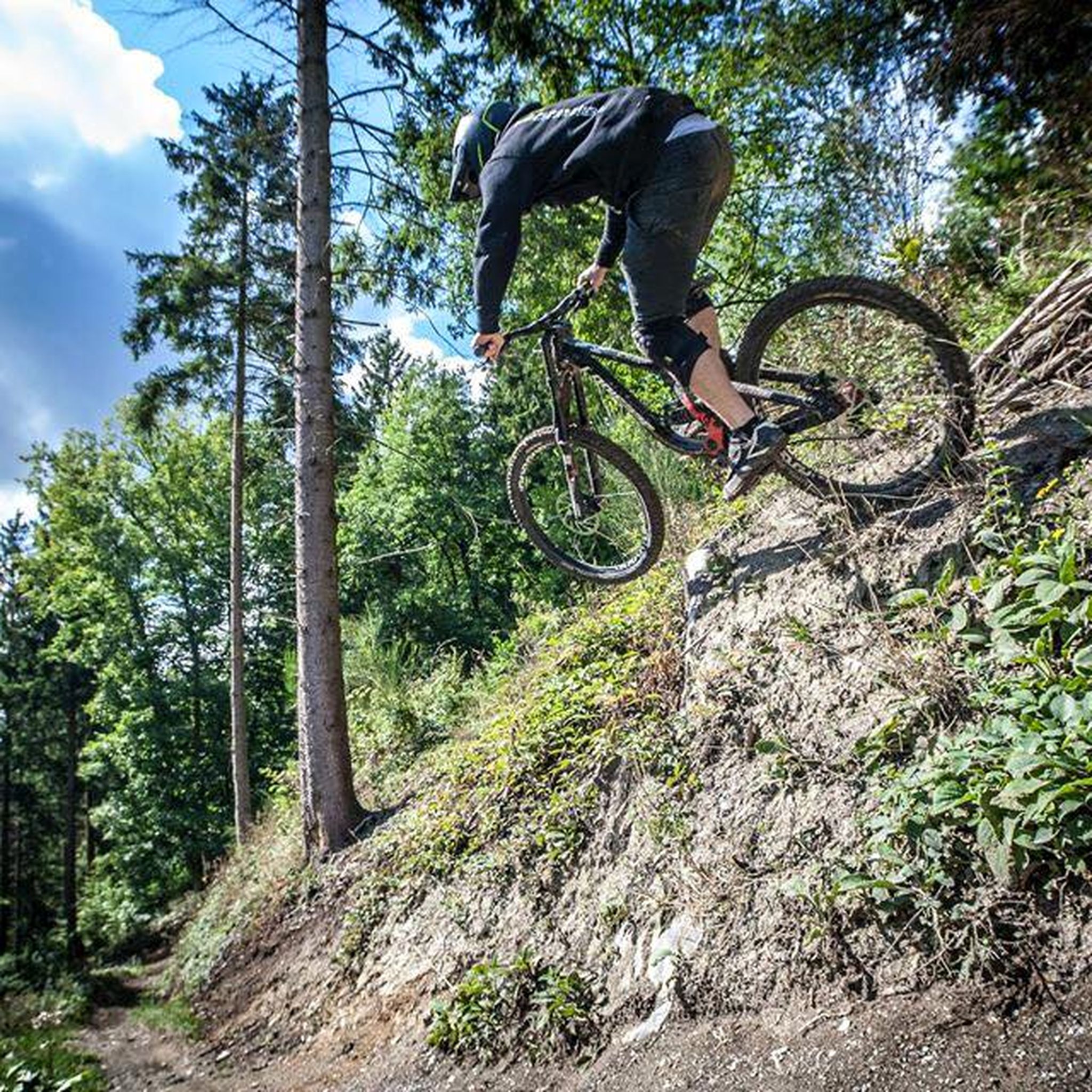
ヒュルトゲンヴァルトのMTBトレイル
ヒュルトゲンヴァルトのランニングコース
ヒュルトゲンヴァルトでのの他の冒険


コミュニティからのヒント

現在の「ブランド」最新の見出し、特に最悪の意味での「ブランド」最新の見出しは、北アイフェル(ヒュルトゲンヴァルト)と、それほど遠くない(ベルギーの)「ホーエン・フェン」での壊滅的な火災についてであり、その規模は国境を越えた地域でこれまでに想像を絶する規模に達しています。そのため、自然に興味のある視聴者には、ZDFのメディアライブラリにあるドキュメンタリー映画をお勧めします。 シリーズ「plan b」のエピソードで、「気候危機における森林保護」というタイトルのものは、私たちの故郷の森林の状態の背景を照らし、差し迫った質問を投げかけます。この番組は、次のURLでオンラインでご覧いただけます =>> https://www.zdf.de/play/dokus/plan-b-104/plan-b-waldschutz-in-der-klimakrise-100?staffel=2023
0
0
一方、ドイツ(DE)のヒュルトゲンヴァルトと隣接するホーエン・フェン(BE)で発生した壊滅的な火災に関する(最悪の意味での「ブランド」的な)最新の見出しと、ドイツおよびベルギーではこれまでに想像を絶する規模に達したことを考えると、ARDメディアーテークでの映画ドキュメンタリーをお勧めします。これは背景を照らし出し、スリリングな問いを投げかけます。「森林火災の後には何が来るのか?」 興味のある方は =>> https://www.ardmediathek.de/video/auf-spurensuche-oder-ard-wissen/was-kommt-nach-dem-waldbrand/mdr/Y3JpZDovL21kci5kZS9iZWl0cmFnL2Ntcy8yNTU5M2JlZC03MzIwLTRmZmEtYjYzMy1hNmNmMjg5OTJkNzU
0
0


The Kall Valley (Kalltal in German) is the river valley of the Kall River, a tributary of the Rur River. It originates near Konzen (located near Monschau) and flows into the Rur River at Zerkall after approximately 26 kilometers. This valley forms a characteristic landscape in the Eifel region, with a variety of stream valleys, forests, flower-filled meadows, and traditional Eifel villages. Due to the geological development of the region, the river and its tributaries have created an incised valley shape in the Rheinisches Schiefergebirge (Rhenish Slate Mountains), consisting of ancient Lower Devonian rocks and other sedimentary layers, resulting in a diverse and geologically interesting terrain. Ecologically and biologically, the Kall Valley is valuable because it harbors a network of alluvial (river and flood) habitats that are essential for numerous plant and animal species. Originally, the valley consisted primarily of wet alluvial forests with native trees such as birch, alder, ash, and hornbeam, but due to past human exploitation and agriculture, these woodlands had largely disappeared. Recent conservation and restoration efforts focus on reintroducing riverine nature, including restoring river courses, removing artificial obstacles, and re-developing wet meadows and wet forests to allow original natural processes to resume. These restoration projects are creating a rich diversity of habitats along the banks of the Kall, ranging from marshy grasslands and wet meadows to alder swamp forests and flower-rich grasslands. This variety supports considerable biodiversity: plants such as broad-leaved orchids, marsh loosestrife, and other water-loving species thrive in the wetlands, while amphibians, butterflies, dragonflies, and songbirds breed and forage along the river's margins. In addition, beavers, kingfishers, and rare bat species can be observed in the more natural parts of the valley. The valley also offers recreational and educational opportunities for visitors to the Eifel, and several hiking and cycling routes run along the Kall, such as the Kalltalweg and the Kall Trail, which lead you through the valley, past alder galleries, open meadows, and through villages like Zerkall and Vossenack. Along these paths, you'll see views of old mills and traces of historical activities such as water management, allowing you to experience not only nature but also the cultural and historical background of the Eifel landscape.
0
0
The Urft Dam (Urfttalsperre) is the oldest valley dam in the Eifel region, built around 1900–1905 to regulate the Urft River and supply water for drinking water and power generation. Together with the Urft Lake (Urftstausee), the dam is part of an impressive network of reservoirs in the Eifel National Park, offering fantastic views, especially from a specially located viewing platform on the dam wall. The official Eifel-Blick Urftstaumauer panoramic viewpoint is located directly on the Urft Dam wall. From here, you have a spectacular view of: • 💧 The Urft Lake (Urftstausee), a large artificial lake with a water capacity of up to 45.5 million m³, stretching approximately 12 km. • 🏞️ The dam wall itself is an impressive structure of natural stone and technical hydraulic engineering that was once intended to be the largest dam in Europe. • 🌳 The surrounding nature of the Eifel National Park, the wooded slopes and the plateau around Gemünd, together form a picturesque and wide panorama. • 🏰 The former Ordensburg Vogelsang, a well-known historical site in the distance, is part of the broader Eifel landscape that you can see from this viewpoint. The viewing platform itself once stood on the site of the dam keeper's house (between 1924 and 1926), but it was destroyed during World War II. Today, it offers an open panoramic viewpoint with free access all day long. The view of the Urft Dam spillway from the viewing platform on the Urfttalsperre dam wall is one of the most beautiful panoramas in the Eifel National Park. From here, you can experience the wide view of Lake Urft (Urftstausee), the imposing dam, and the surrounding wooded landscape—a perfect combination of nature, technology, and history in one viewpoint.
0
0

ヒュルトゲンヴァルトでのの人気ルート
ヒュルトゲンヴァルトでのの人気観光スポット

komootモバイルアプリでインスピレーションを得よう


さらに探索
他の地域の最高のハイキングを見てみましょう。
