ヴュルゼレンのおすすめウォーキング&ハイキングルート
4.4
(1925)
9,803
ハイカー
143
ハイキング
ヴュルゼレン 周辺でおすすめのハイキングやウォーキングを楽しんでいただけるように、このエリアの小径やルートを集めたkomootコレクション全体を見直しました。 以下で各ルートの詳細をご覧になり、ヴュルゼレン周辺の大自然を満喫する際の参考にしてください。
最終更新日: 10月 16, 2026
4.2
(47)
168
ハイカー
4.92km
01:20
70m
70m
初級者向けハイキング. あらゆるフィットネスレベルに適しています。 進みやすいルートです。あらゆるスキルレベルに適しています。
4.8
(410)
1,702
ハイカー
6.21km
01:39
70m
70m
初級者向けハイキング. あらゆるフィットネスレベルに適しています。 進みやすいルートです。あらゆるスキルレベルに適しています。

4.8
(333)
1,436
ハイカー
5.13km
01:22
60m
60m
初級者向けハイキング. あらゆるフィットネスレベルに適しています。 進みやすいルートです。あらゆるスキルレベルに適しています。
4.7
(89)
386
ハイカー
9.18km
02:30
140m
140m
中程度のハイキング. ある程度のフィットネスレベルが必要です。 進みやすいルートです。あらゆるスキルレベルに適しています。
4.6
(54)
207
ハイカー
3.28km
00:55
70m
70m
初級者向けハイキング. あらゆるフィットネスレベルに適しています。 進みやすいルートです。あらゆるスキルレベルに適しています。
さらに多くのルートや他のユーザーのおすすめ情報を確認できます。
すでにアカウントをお持ちですか?
おすすめのツアーは他のkomootユーザーが実際に経験した何千ものアクティビティに基づいています。
無料アカウントで今日から始めよう
次の冒険が待っています。


コミュニティからのヒント

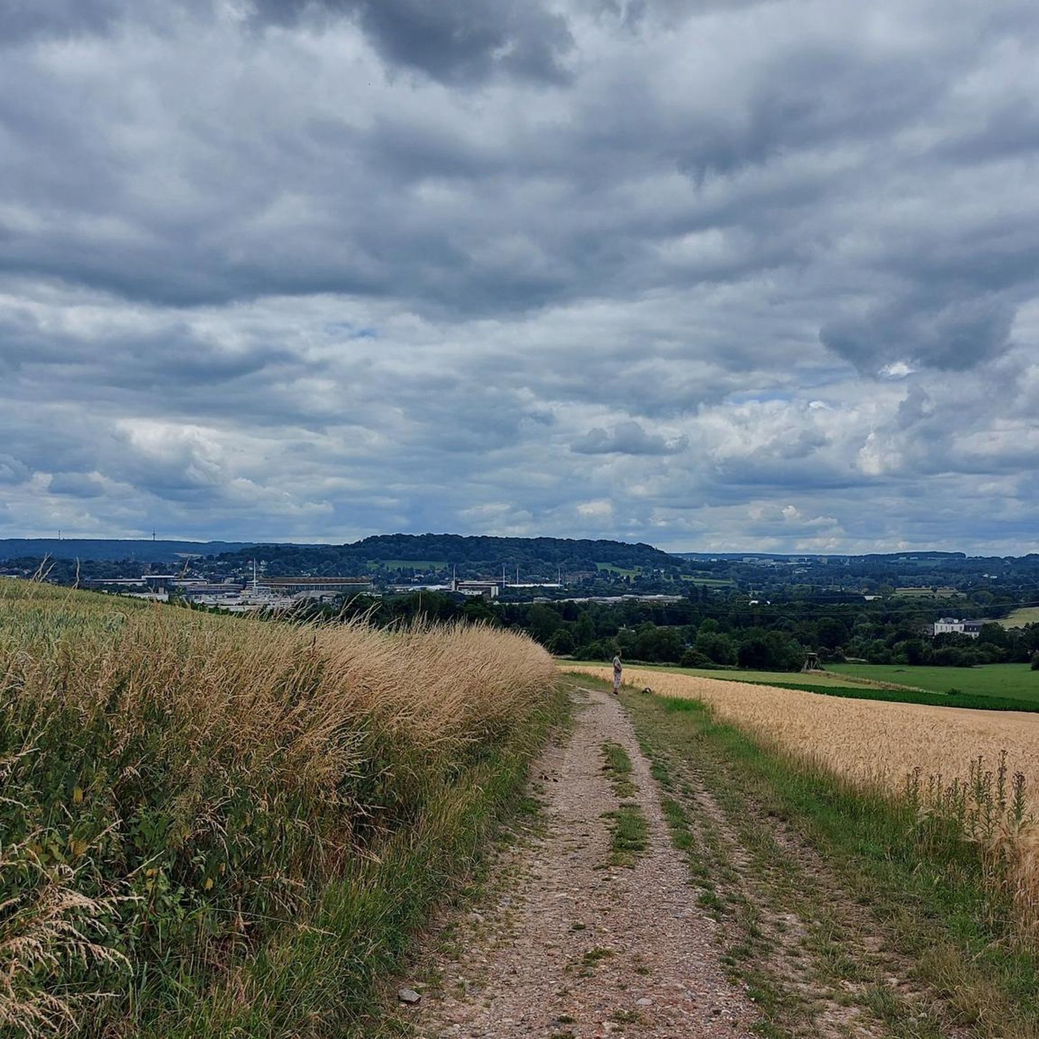
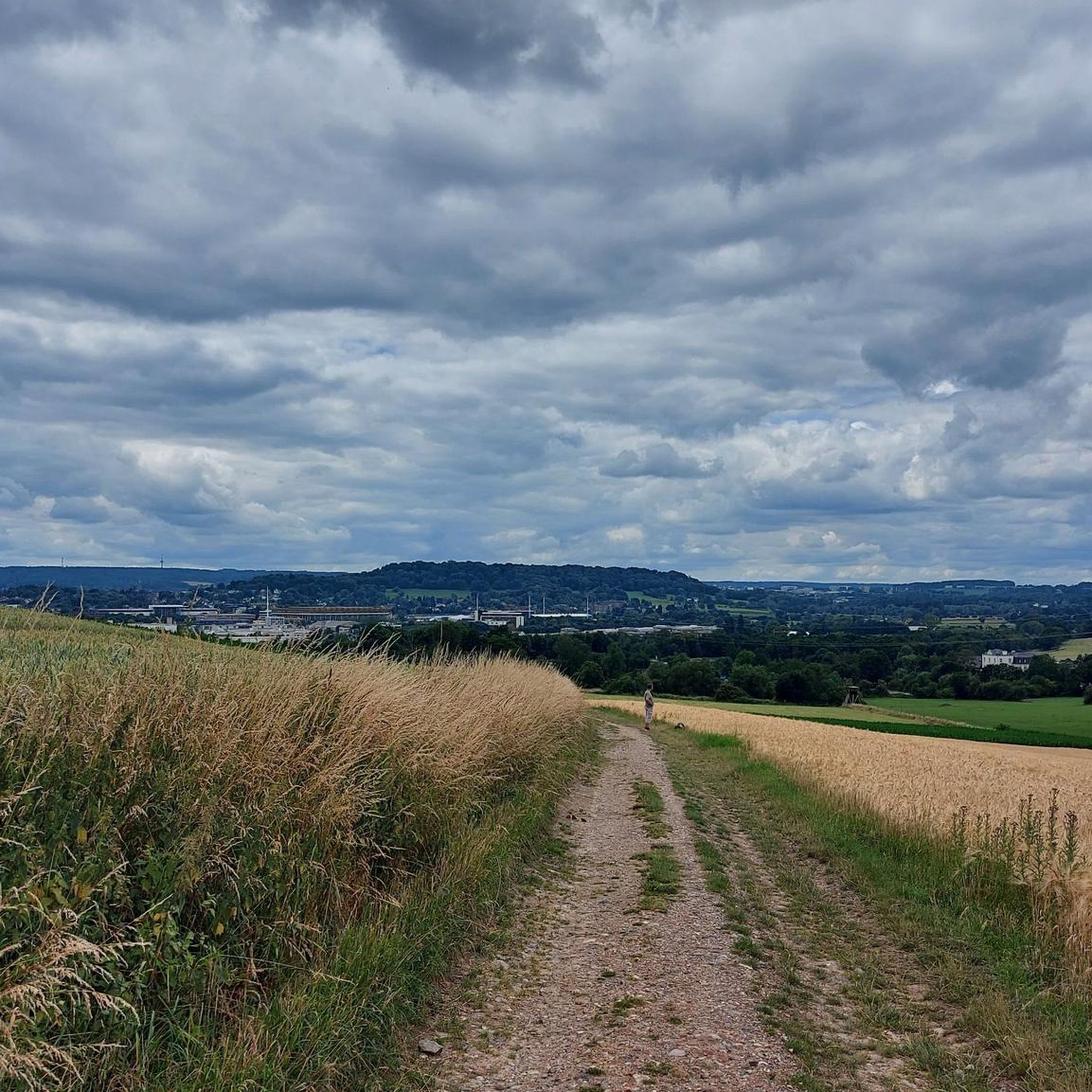
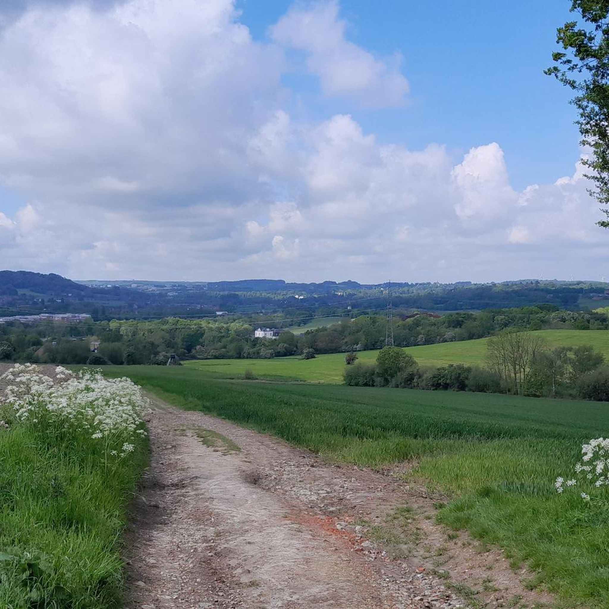
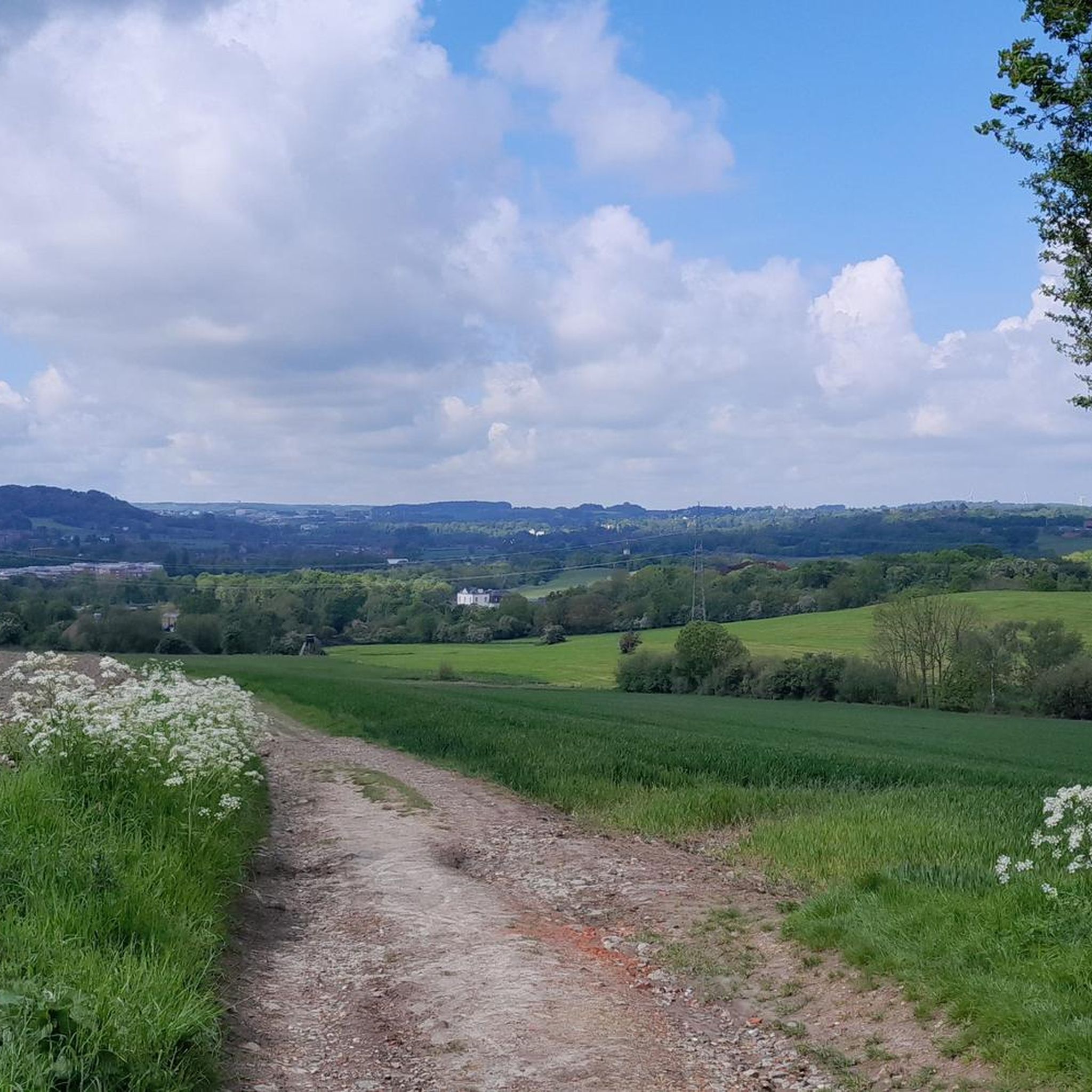
Beautiful view of fields and meadows along the Wurm river
0
0

The picnic area at Wilhelmstein Bridge is a peaceful, almost natural resting spot in the landscape where water, greenery, and history converge. The bridge spans the Wurm River here, forming a natural transition between banks while the surrounding valley opens up in soft lines of grass, shrubs, and trees. It's a place that invites you to sit down for a moment, put down your backpack, and relax. From the picnic area, your gaze follows the rippling water beneath the bridge, while birds and the rustling of leaves create the backdrop. The proximity of Wilhelmstein also evokes a sense of history: not far from here lies the rocky plateau with the remains of the old castle that overlooked this same valley for centuries. This combination of nature and history gives the place added depth without being obtrusive. It is precisely its simplicity that makes this picnic area special. No crowds, no grand views, but a sheltered spot where the landscape does its work. It is a moment of rest along the route where walking briefly turns into staying and where the environment tells its story undisturbed and at its own pace.
0
0
The Wetterpilz in the Wurmtal is a striking natural phenomenon and artistic object, notable for its unique shape and location in the Wurm Valley just south of Herzogenrath. The Wetterpilz, which literally means "weather mushroom," is often a sheltered path or small natural structure resembling a giant mushroom, making it both a landmark and a refuge for hikers. The Wetterpilz stands amidst a diverse landscape of deciduous and coniferous forests along the Wurm River, which meanders through the valley. It offers visitors a unique opportunity to pause and enjoy the tranquility while simultaneously enjoying excellent views of the surrounding flora and fauna. The object often also reflects a playful element of landscape art, where natural forms and human imagination merge.
0
0
The entrance to the Gouley mine tunnel, also known as the Stollenmundloch, is located in the picturesque Wurmtal valley near Würselen/Morsbach in Germany. This tunnel was an important part of Grube Gouley, one of the oldest coal mines in the Aachen region, first mentioned in 1599 under the name "Gute Ley." Gouley was one of the longest-operating coal mines in the region, with mining operations continuing until 1969. The tunnel was originally used for coal extraction and later for dewatering the mine, as underground mines often caused water problems. Today, water still flows from the tunnel into the Wurm, a clear sign of the landscape's industrial past. Although the tunnel is not open to visitors, the entrance itself is a tangible industrial monument and bears witness to centuries of mining tradition. Over the centuries, Gouley has enjoyed a rich and eventful history. In the 19th century, the mine was modernized with steam engines for water and coal extraction. In 1834, a sudden ingress of water led to a serious mining accident in which several miners died. This tragedy resulted in stricter safety measures in the Aachen region. Later in the 19th and 20th centuries, the mine was further expanded with rail and coal transport, and it became a major employer in the region. Following the declining demand for coal and the changing energy market, Gouley finally closed its doors on March 31, 1969. Today, the area around the tunnel is part of hiking trails through the Wurmtal, where visitors can discover traces of the industrial past: remnants of old railway lines, railway bridges, workers' houses, and the contours of former mining sites. This combination of nature and industrial heritage makes the area particularly attractive for hikers and cyclists. The Wurmtal itself offers a beautiful river landscape where forests, streams, and valleys blend harmoniously, creating a serene experience of Gouley's historical context. The Gouley Mine Tunnel symbolizes the region's long mining tradition and illustrates how an industrial landscape can transform into a place of natural recreation and remembrance. Walkers along the path alongside the tunnel literally experience the traces of the past while enjoying the tranquility of the watercourse and the surrounding green landscape. It is a place where history, nature, and culture converge, telling the story of human endeavor, technological progress, and the resilience of the landscape.
0
0
Deep in the green belt of the Wurmtal, just south of Herzogenrath, a quiet forest path winds alongside the gently meandering Wurm River. The path leads through a landscape where nature and history intertwine: ancient forest edges, slopes thick with fern thickets, and clearings where sunlight breaks through the treetops, illuminating the moss. The Wurm itself always murmurs softly in the background, amidst rippling plants and rocky outcrops that recall the valley's mining past.
0
0
The Wurm Valley, the valley around the Wurm River near Aachen/Würselen (Germany), boasts a rich and fascinating industrial past. Coal was mined in this valley from very early times, and mining played a major role well into the 20th century. What was once synonymous with industrial smoke and coal railways has now been transformed: slag heaps, old tunnels, abandoned tracks, and a green landscape bear witness to what has been. Below is an overview of the historical legacy and current experience. Written sources mention coal mining in the Wurm Valley as early as the 12th century, according to the annals of the abbey in Klosterrath. In (the later) area around present-day Würselen, coal mining began in the Middle Ages primarily through open-pit mining or very shallow excavation, where the coal seams lie relatively close to the surface. The real transition to large-scale industrial coal mining did not occur until the 19th century. The establishment of associations and mining companies (including the Association for Coal Mining in the Wurm Valley in 1836) allowed production to be concentrated and expanded. Mines such as Grube Teut (now completely gone) and Grube Gouley were important production centers. The Gouley mine was the largest in the Wurm region at its peak in the early 19th century. Mining was not without risk. For example, in 1834 at the Gouley mine, a collapse caused by water pressure claimed the lives of dozens of miners. Over the course of the 20th century, coal mining in the Wurm Valley became less profitable due to competition from deep mining and a changing economy. The last shafts closed in 1969. Stoves (slag heaps) at various locations in the Wurm Valley now lie green hills: former coal heaps (slag heaps) that give the landscape a distinctive relief. These "halden" were later reclaimed and are now walking and recreational areas. Old railway lines and viaducts where coal trains once ran have been converted into walking paths and cycling routes. For example, the route from the former railway line to the Gouley mine is now part of a walking and cycling network.
1
0

The discarded trolley reminds of the region's mining past
5
0

komootモバイルアプリでインスピレーションを得よう


さらに探索
他の地域の最高のハイキングを見てみましょう。
